Plizio Visual Lab
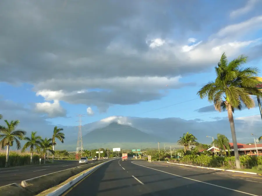
Volcan Tajumulco
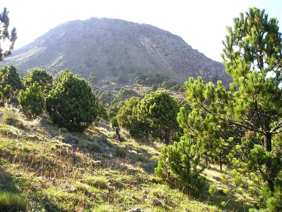
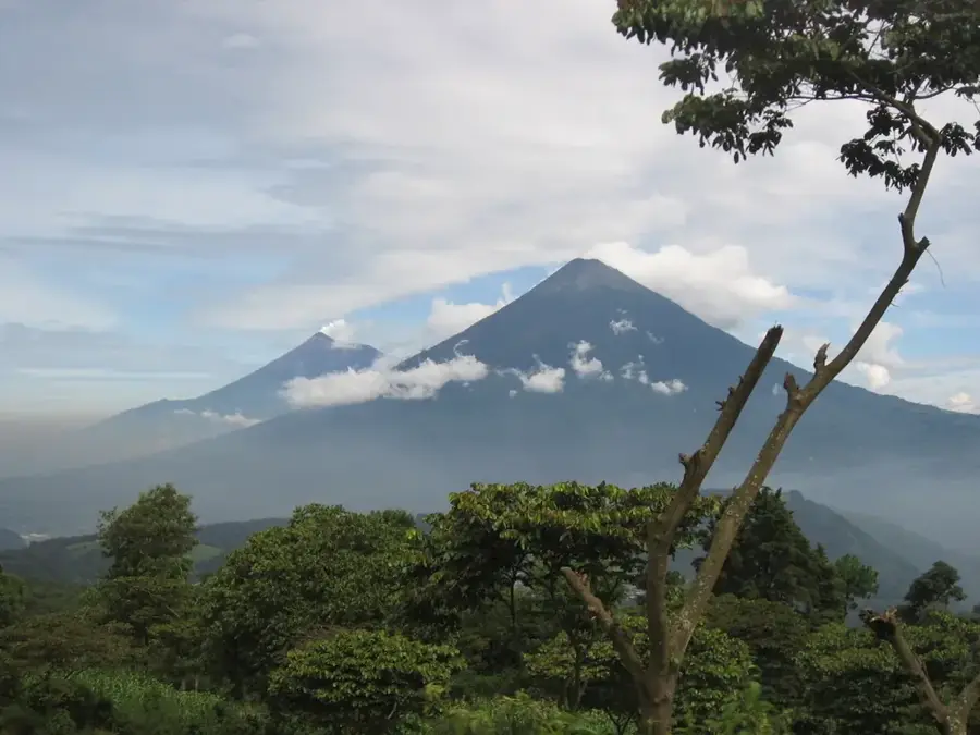
Volcán Tajumulco, located in the San Marcos department, stands as the highest peak in Guatemala and all of Central America, reaching an elevation of 4,220 meters above sea level. This massive stratovolcano is classified as extinct, with no documented records of historical eruptions. It features two distinct summits: the higher eastern peak, which contains a crater roughly 50 meters wide, and the slightly lower western peak, known as Cerro Cabaján. Geologically, the volcano is primarily composed of andesitic and dacitic lava flows resting on an older rock foundation. Climbing to the summit is a premier challenge for hikers, rewarded on clear days with dramatic panoramic views that stretch to the Pacific coast in the south and well across the border into Mexico to the west. During the winter months, summit temperatures can drop below freezing, and rare snowfall events have been recorded, a highly unusual occurrence for this latitude. The lower slopes are covered in pine-oak forests and alpine meadows, supporting unique high-altitude biodiversity. Tajumulco remains a powerful emblem of regional identity and a top destination for mountaineering enthusiasts.
- Location: Guatemala
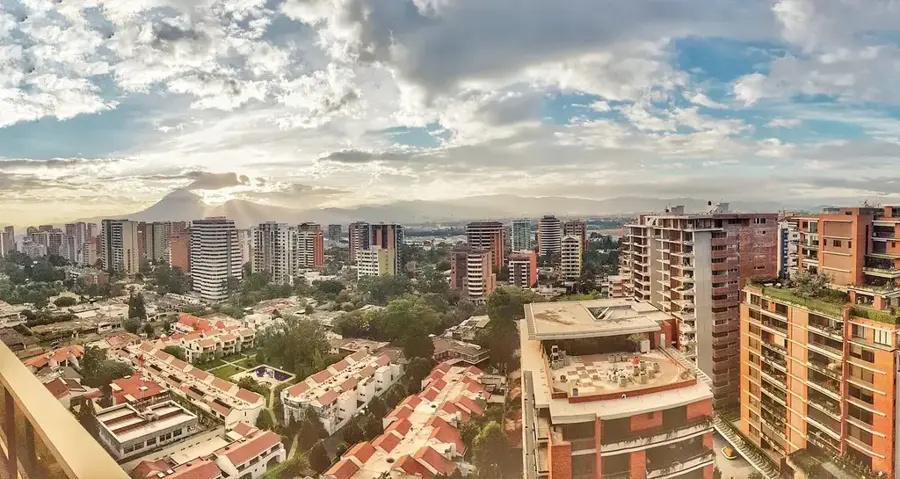
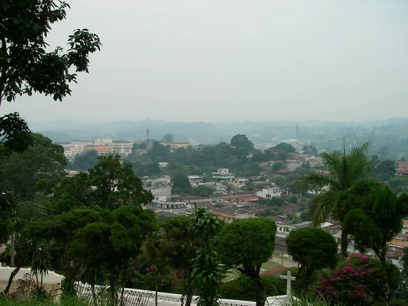
- Nearby: Coatepeque (4 km)
Best time to visit & climate
The most pleasant time to visit is Feb, Mar, Dec.
| Jan | Feb | Mar | Apr | May | Jun | Jul | Aug | Sep | Oct | Nov | Dec | |
|---|---|---|---|---|---|---|---|---|---|---|---|---|
| Avg °C | 17 | 18 | 19 | 20 | 20 | 19 | 19 | 19 | 19 | 19 | 18 | 17 |
| Rain mm | 5 | 7 | 25 | 71 | 248 | 332 | 247 | 308 | 380 | 313 | 68 | 10 |
📋 Practical info
Geography
Facts
- The highest point in Central America at 4,220 meters
- Comprised of two main peaks, the taller one having a small crater
- Considered an extinct stratovolcano with no known eruptive history
- Occasional snowfall occurs at the summit during the dry season
- Offers views that extend to the Pacific Ocean and into Mexico
- Located in the western highlands within the San Marcos department
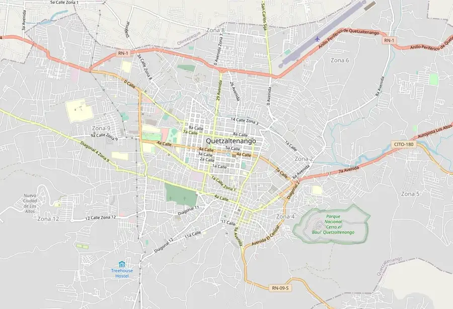
Explore nearby
Notable places around
Route planner — Car & Motorhome
Where do you start? We build the route here, with stops and country notes along the way.
© OpenStreetMap contributors · OpenRouteService
Sights in the town Volcan Tajumulco (1)
Sights nearby
Frequently asked questions
How high is Volcán Tajumulco?
Is the climb dangerous?
Do you need a permit for the hike?
Can it snow on the summit?
How long does a tour to the summit take?
Volcan Tajumulco: where is it located?
Volcan Tajumulco: when is the best time to visit?
Volcan Tajumulco: why is it worth visiting?

Nearby cities

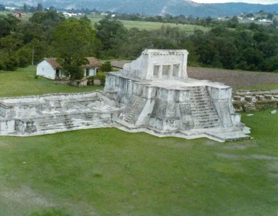
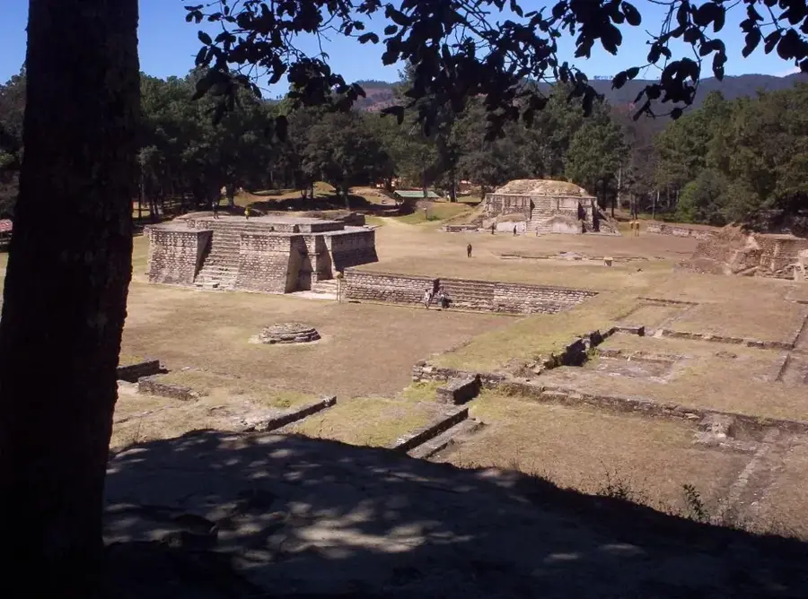
History & landmarks

Nature
More places