Plizio Visual Lab
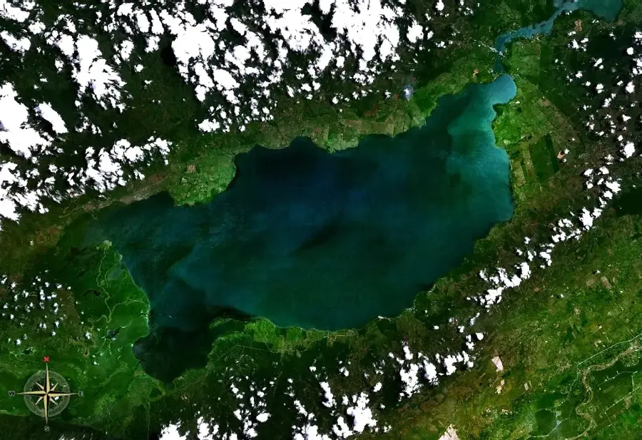
Lake Izabal
Weather…
Water temperature…
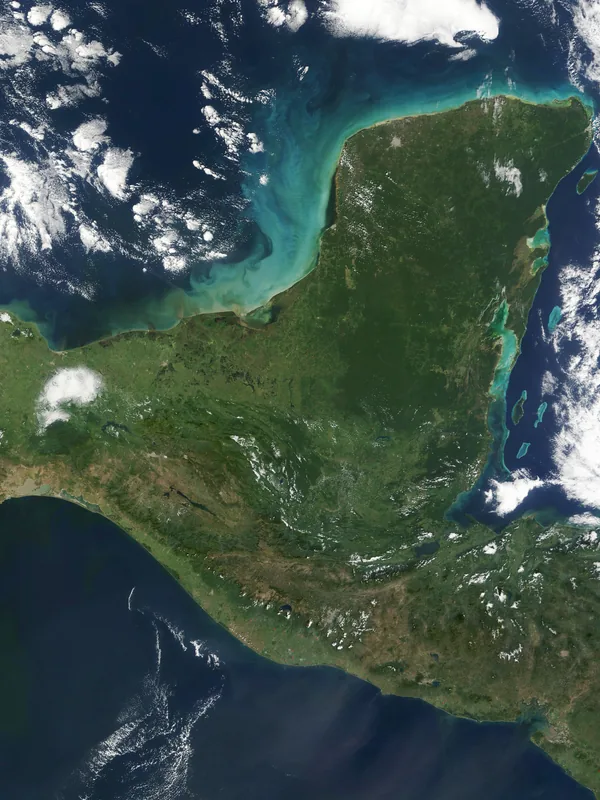
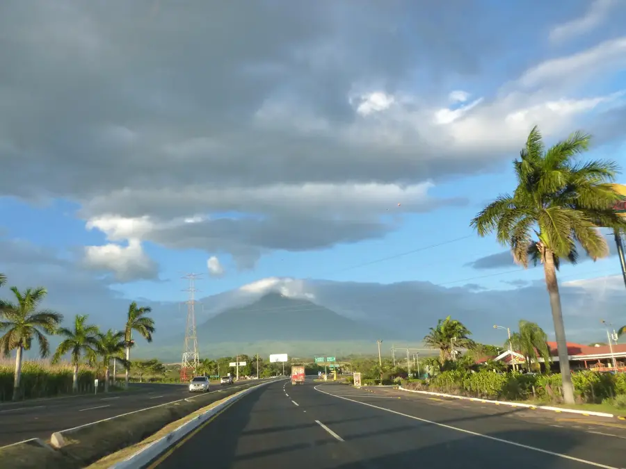
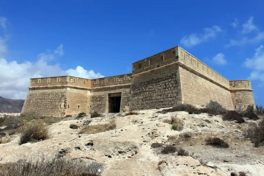
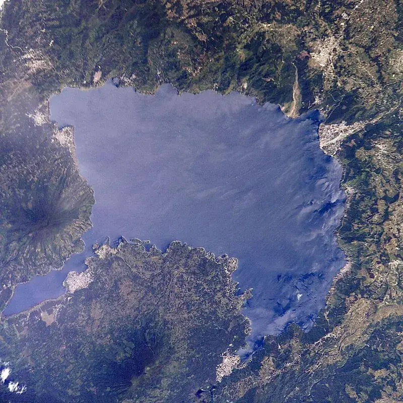
Lake Izabal, or Lago de Izabal, is the largest lake in Guatemala, covering an area of 589 square kilometers. Situated in the eastern part of the country within a tropical lowland, it is connected to the Caribbean Sea via the navigable Rio Dulce. Primarily fed by the Polochic River, the lake reaches a maximum depth of approximately 18 meters. Its shores are lined with lush vegetation and wetlands, providing a critical habitat for diverse wildlife, including the endangered Caribbean manatees. Historically, the lake served as a strategic trade route, leading the Spanish to construct the San Felipe de Lara fortress in the 17th century to defend against pirate incursions. Today, the region is a premier destination for sailing and ecotourism, offering activities such as sport fishing and bird watching. Economically, the lake supports local artisanal fishing and is adjacent to significant nickel mining operations in the nearby mountains. Nature reserves like the Chocón Machacas Biotope are instrumental in preserving the unique biological integrity of this vast freshwater ecosystem.
- Location: Guatemala
- Nearby: El Estor (20 km)
Best time to visit & climate
The most pleasant time to visit is Jan–Mar.
| Jan | Feb | Mar | Apr | May | Jun | Jul | Aug | Sep | Oct | Nov | Dec | |
|---|---|---|---|---|---|---|---|---|---|---|---|---|
| Avg °C | 22 | 23 | 24 | 26 | 27 | 26 | 25 | 25 | 25 | 24 | 23 | 22 |
| Rain mm | 105 | 78 | 61 | 51 | 127 | 214 | 188 | 195 | 227 | 205 | 174 | 113 |
📋 Practical info
Geography
Facts
- The largest lake in Guatemala with a surface area of 589 km²
- Connected to the Caribbean Sea by the scenic Rio Dulce river
- Home to a significant population of endangered Caribbean manatees
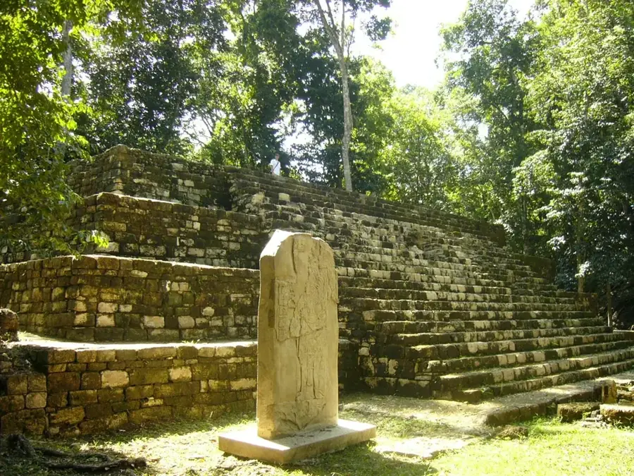
- Features the historic San Felipe de Lara fortress, built in 1644
- Relatively shallow with a maximum recorded depth of 18 meters
- A major hub for sailing and freshwater fishing in eastern Guatemala
Explore nearby
Notable places around
Route planner — Car & Motorhome
Where do you start? We build the route here, with stops and country notes along the way.
© OpenStreetMap contributors · OpenRouteService
Sights nearby
Frequently asked questions
How big is Lake Izabal?
Are there manatees there?
What is Castillo de San Felipe?
Can you swim in the lake?
Which birds can be seen?
Lake Izabal: where is it located?
Lake Izabal: when is the best time to visit?
Lake Izabal: why is it worth visiting?

Nearby cities

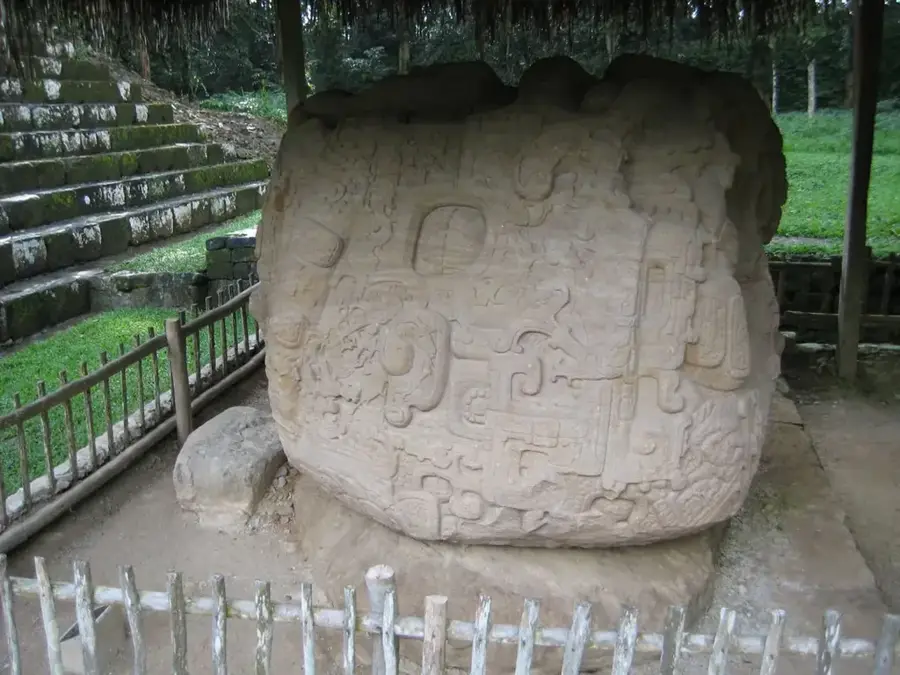
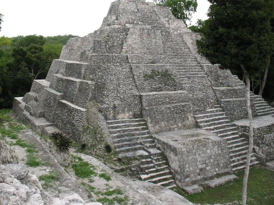
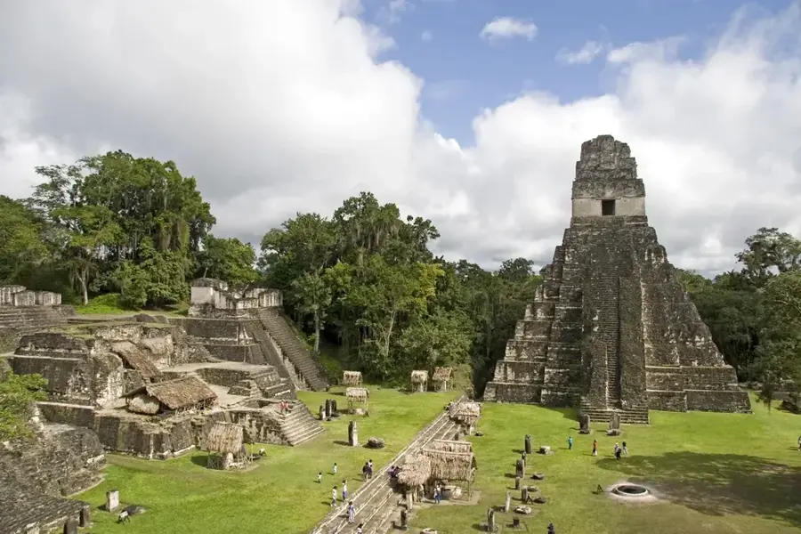
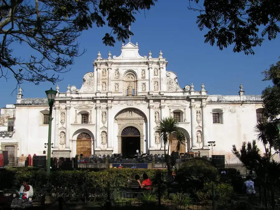
History & landmarks
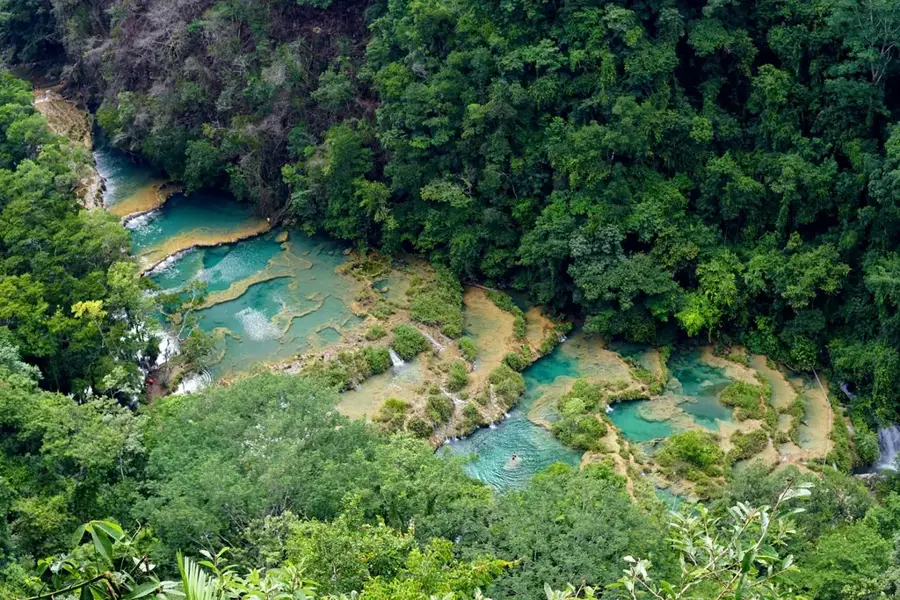

Nature
More places