Plizio Visual Lab
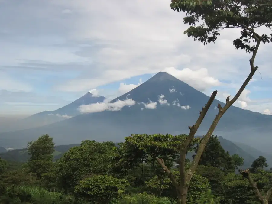
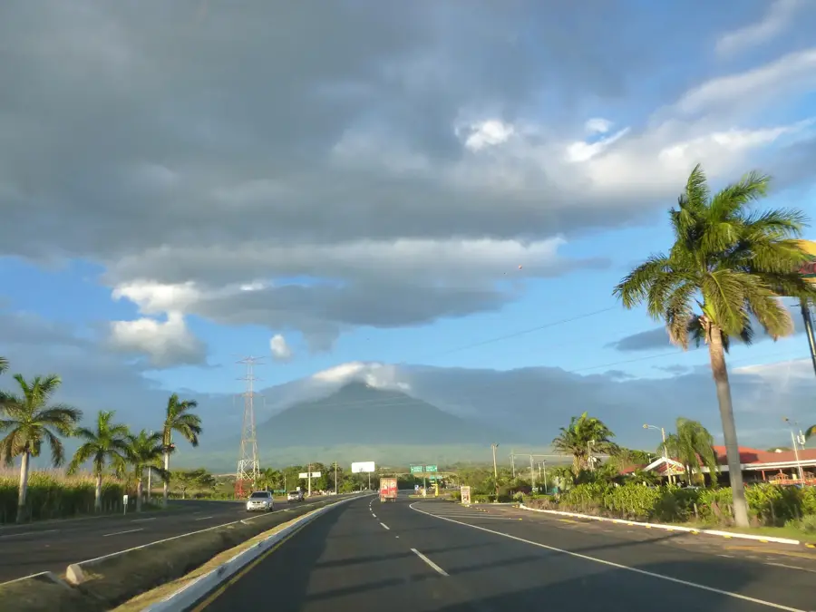
Volcan de Fuego

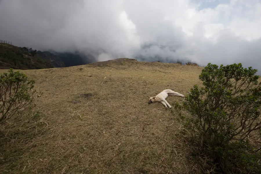
Volcán de Fuego, the 'Volcano of Fire', is one of the world's most active and visually remarkable stratovolcanoes, located in the central highlands of Guatemala near the colonial city of Antigua. Rising to an elevation of approximately 3,763 meters, it is part of the Sierra Madre de Chiapas range and forms the La Horqueta massif alongside the dormant Acatenango volcano. Fuego is famous for its near-constant, low-level activity, frequently emitting towering plumes of ash and incandescent lava flows that create a spectacular nighttime display. Historical documentation of its eruptions dates back to 1524, as noted by the conquistador Pedro de Alvarado. In June 2018, the volcano experienced its most violent eruption in decades, generating lethal pyroclastic flows that devastated nearby communities. Despite the persistent danger, trekking up neighboring Acatenango remains a premier tourist activity for those seeking a safe vantage point to witness Fuego's eruptions. The volcanic ash from its activity significantly enriches the surrounding soil, contributing to the exceptional quality of the region's world-renowned coffee production.
- Location: Guatemala
- Top sights: Volcán de Fuego · Acatenango
- Nearby: Puerto San José (6 km)
Best time to visit & climate
The most pleasant time to visit is Jan, Feb, Dec.
| Jan | Feb | Mar | Apr | May | Jun | Jul | Aug | Sep | Oct | Nov | Dec | |
|---|---|---|---|---|---|---|---|---|---|---|---|---|
| Avg °C | 21 | 22 | 23 | 24 | 24 | 23 | 23 | 23 | 22 | 22 | 21 | 21 |
| Rain mm | 4 | 6 | 18 | 64 | 231 | 317 | 234 | 292 | 346 | 302 | 61 | 8 |
📋 Practical info
Geography
Facts
- The volcano's summit reaches an elevation of 3,763 meters above sea level.
- It is recognized as one of the most consistently active volcanoes globally.
- Documented historical eruptions began with reports in 1524.
- A major and catastrophic eruption occurred on June 3, 2018.
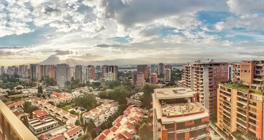
- It is located approximately 16 kilometers from the city of Antigua.
- The volcano is part of the Sierra Madre de Chiapas mountain range.
Explore nearby
Notable places around
Route planner — Car & Motorhome
Where do you start? We build the route here, with stops and country notes along the way.
© OpenStreetMap contributors · OpenRouteService
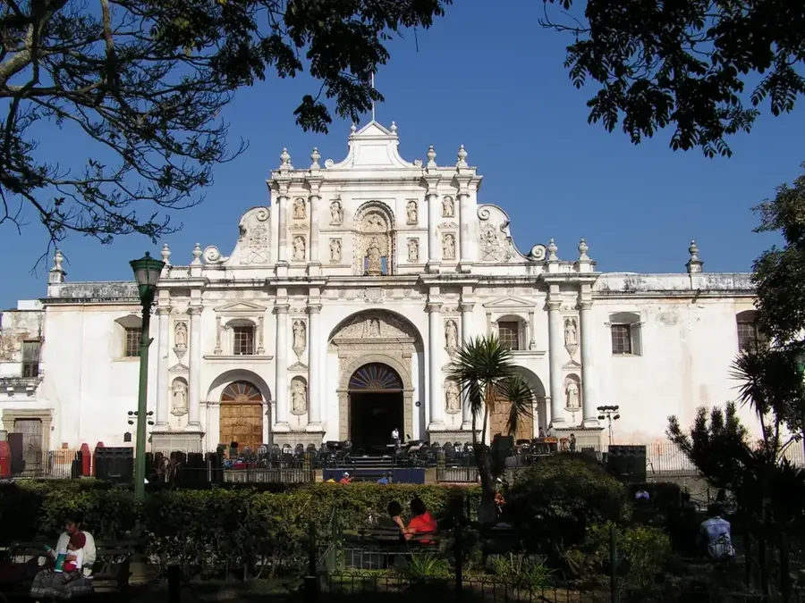
Sights in the town Volcan de Fuego (2)
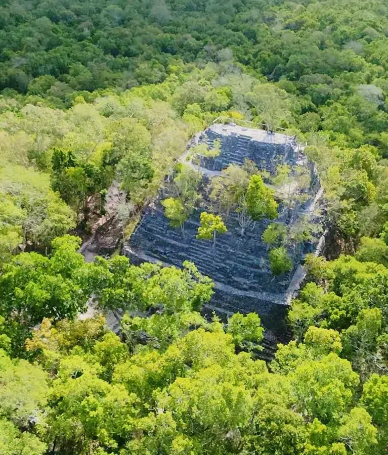
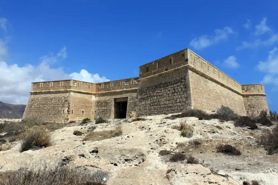
Sights nearby
Frequently asked questions
Can I experience the eruptions up close?
When is the volcano active?
Do you need permission?
Is photography safe?
What to do during ash rain?
Volcan de Fuego: where is it located?
Volcan de Fuego: what is there to see?
Volcan de Fuego: when is the best time to visit?
Volcan de Fuego: why is it worth visiting?

Nearby cities

History & landmarks

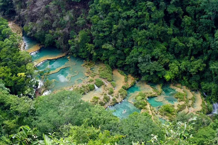
Nature
More places