Plizio Visual Lab
Escuintla
ℹ️Practical info — Escuintla
▾
🌤 Weather — 5 days
📍 Nearby
Sights nearby
💡 Tips
- Prepare for extreme heat and humidity, especially if you are arriving from the highlands.
- Traffic on the CA-2 highway can be very heavy; allow extra time for transit.
- Keep small bills (Quetzales) handy for street vendors and local buses.
- Use the city as a convenient base or stopping point on your way to the Pacific beaches.
- Keep a close eye on your belongings at the busy bus terminals.
🍽 Food
A hearty beef soup best tried at the food stalls inside the central market.
Fresh coconut water often sold ice-cold by street vendors around the main plaza.
Grilled meats found at the many rustic steakhouses along the main roads out of town.
🛍 Shopping · 🧘 Quiet spots
A bustling market to buy fresh tropical fruits and get an authentic glimpse of local life.
Local artisans sell sturdy belts and leather crafts in small shops along the main thoroughfares.
Find a shaded spot under the trees in the early morning before the midday heat sets in.
Some coffee and sugar estates on the outskirts offer a quiet, green retreat from the city noise.
Water temperature…
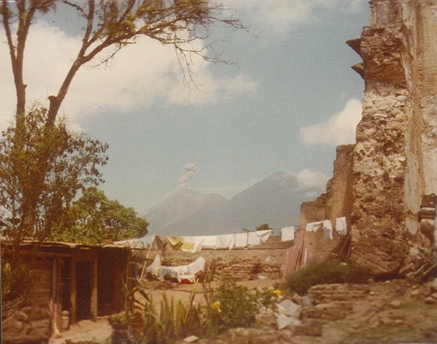
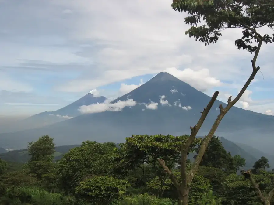
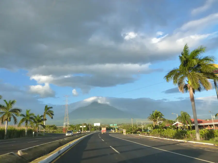
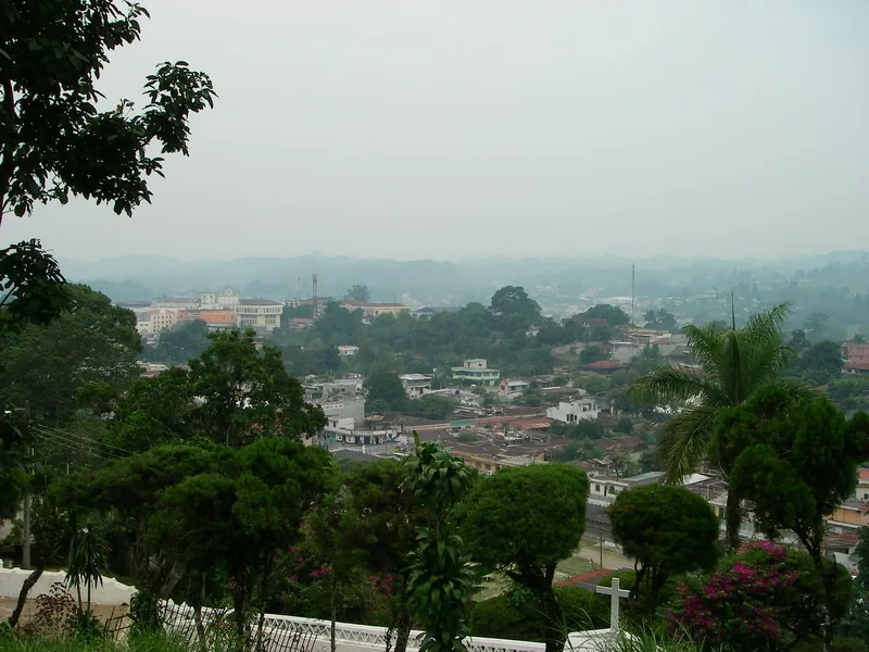
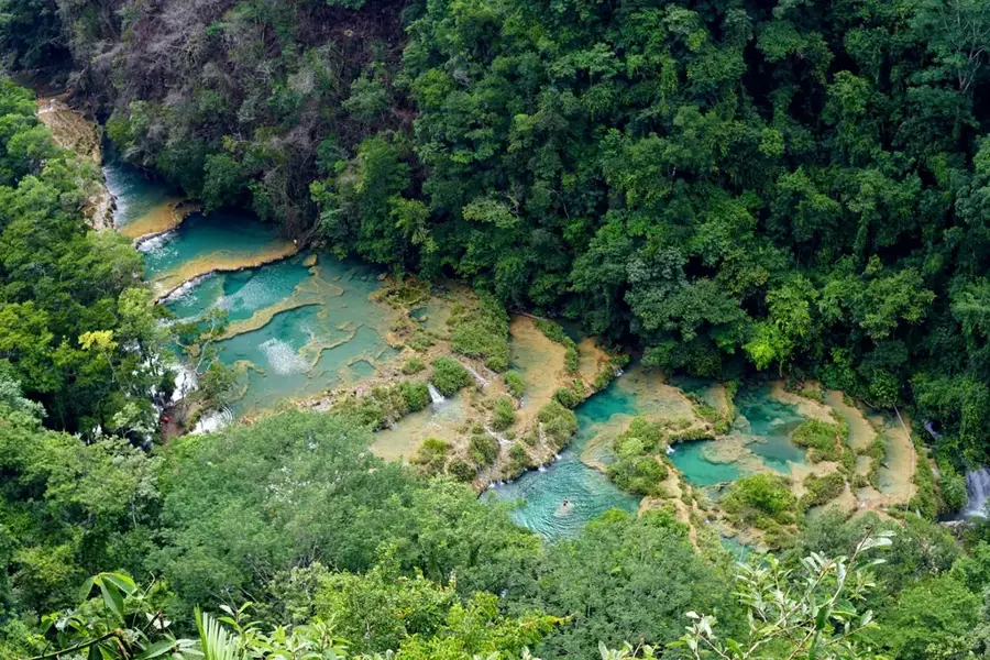
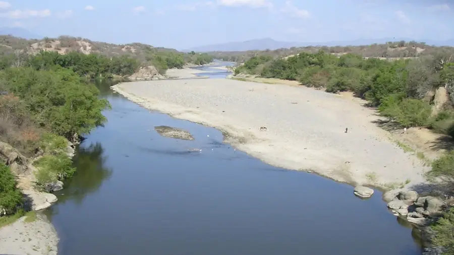
Escuintla is a strategically vital city in southern Guatemala and the administrative capital of the department bearing the same name. Located at the base of the Sierra Madre range at an altitude of 347 meters, it is often regarded as the economic gateway to the country's Pacific coast. The name originates from the Nahuatl word 'Itzcuintlan', meaning 'place of the dogs', hinting at the region's pre-Columbian heritage. Escuintla is renowned for its intensive agricultural output, specifically sugarcane, coffee, and cotton, alongside its significant livestock industry. The city functions as a major transportation hub where critical trade routes connecting Guatemala City, the port of Puerto San José, and the border with El Salvador converge. Nearby, the active Pacaya volcano defines the horizon and frequently influences the local environment with volcanic ash deposits. Despite its hot tropical climate, the area attracts visitors with natural sites like the San Pedro Mártir waterfall and its accessibility to the black sand beaches of the Pacific Ocean.
- Location: Guatemala
- Nearby: Puerto San José (5 km)
- Population: ~156.313 (2025)
Best time to visit & climate
The most pleasant time to visit is Jan, Feb, Dec.
| Jan | Feb | Mar | Apr | May | Jun | Jul | Aug | Sep | Oct | Nov | Dec | |
|---|---|---|---|---|---|---|---|---|---|---|---|---|
| Avg °C | 21 | 22 | 23 | 24 | 24 | 23 | 23 | 23 | 22 | 22 | 21 | 21 |
| Rain mm | 4 | 6 | 18 | 64 | 231 | 317 | 234 | 292 | 346 | 302 | 61 | 8 |
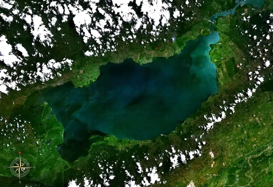
Geography
Facts
- Located at an elevation of 347 meters above sea level
- Name derived from Nahuatl 'Itzcuintlan', meaning 'Place of Dogs'
- The primary center for Guatemala's sugar industry
- A critical junction for trade moving toward Pacific ports
- Frequently impacted by ash from the nearby Pacaya volcano
- Home to the San Pedro Mártir waterfall and natural grotto
Explore nearby
Notable places around
Route planner — Car & Motorhome
Where do you start? We build the route here, with stops and country notes along the way.
© OpenStreetMap contributors · OpenRouteService
Sights in the town Escuintla (1)
Frequently asked questions
What is Escuintla known for?
What is the climate like in Escuintla?
Are there tourist attractions?
What are the main products of the region?
How do you get from Escuintla to the beach?
Escuintla: where is it located?
Escuintla: when is the best time to visit?
Escuintla: why is it worth visiting?

Nearby cities

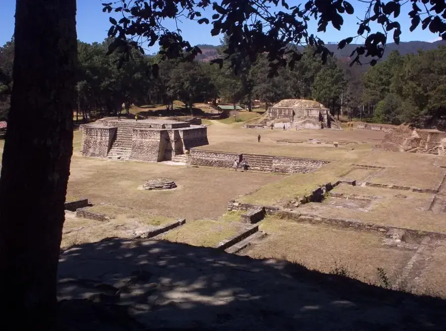
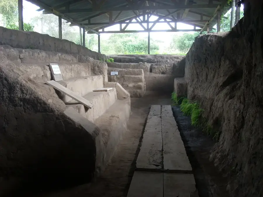
History & landmarks

Nature
More places