Plizio Visual Lab
Coatepeque
ℹ️Practical info — Coatepeque
▾
🌤 Weather — 5 days
📍 Nearby
Sights nearby
💡 Tips
- The city is a bustling commercial hub, so traffic can be heavy; walk for short distances.
- Keep an eye on your belongings in the crowded market areas.
- The climate is warm and humid, so dress in light layers.
- Try the local coffee at a cafe near the central park.
- Cash is essential as many smaller vendors do not accept cards.
🍽 Food
A hearty beef soup that is a staple in the local eateries.
Look for vendors selling fresh tamales on Saturday or Sunday mornings.
Don't miss the juice stands blending fruit grown in the region.
🛍 Shopping · 🧘 Quiet spots
A massive, bustling market where you can find everything from electronics to fresh produce.
Purchase locally roasted coffee beans for a great souvenir.
Find a shaded bench to take a break from the busy commercial city life.
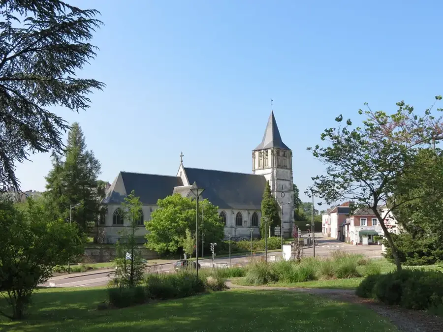
The area in front of the main church is typically quieter and good for a stroll.
Water temperature…
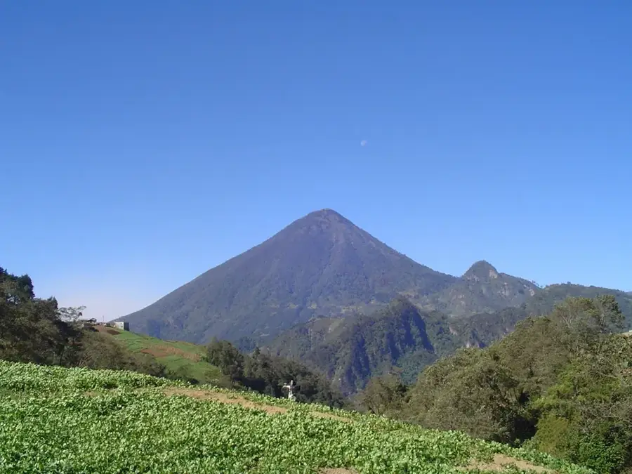
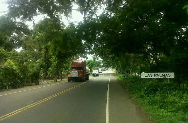
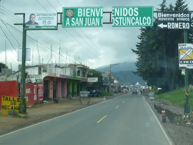
Coatepeque is a prominent commercial city located in the Quetzaltenango Department, situated near the Pacific coastal plains of Guatemala. Known as the gateway to the West, its strategic position at the crossroads of major transportation routes makes it a vital hub for regional trade and logistics. The hot tropical climate of the area is handy for large-scale agriculture, particularly the production of coffee, rubber, and sugarcane. Historically, the city experienced rapid growth following the arrival of the railroad in the late 19th century, which solidified its status as an economic powerhouse. Coatepeque is distinguished by its bustling markets and relatively modern infrastructure compared to neighboring municipalities. While it functions as a modern urban center, the city maintains its cultural identity through the annual March fair, featuring traditional festivities and commercial exhibitions. The urban landscape reflects several decades of economic expansion driven by its agricultural wealth and transit-oriented location.
- Location: Guatemala
- Top sights: Teatro Capri · Las Conchitas · SAnta Ilaria
- Nearby: La Libertad (Huehuetenango) (7 km)
- Population: ~105.415 (2023)
Best time to visit & climate
The most pleasant time to visit is Jan, Feb, Dec.
| Jan | Feb | Mar | Apr | May | Jun | Jul | Aug | Sep | Oct | Nov | Dec | |
|---|---|---|---|---|---|---|---|---|---|---|---|---|
| Avg °C | 24 | 25 | 26 | 27 | 27 | 26 | 26 | 26 | 25 | 25 | 25 | 25 |
| Rain mm | 7 | 7 | 23 | 75 | 276 | 342 | 264 | 319 | 377 | 329 | 73 | 10 |
Geography
Facts
- Located within the Quetzaltenango Department.
- Nicknamed the Garden City of the South.
- Key center for coffee and rubber processing.
- Strategic transit point on the route to Mexico.
- The railway reached the city in 1887.
- The annual Summer Fair (Feria) is celebrated in March.
Explore nearby
Notable places around
Route planner — Car & Motorhome
Where do you start? We build the route here, with stops and country notes along the way.
© OpenStreetMap contributors · OpenRouteService
Sights in the town Coatepeque (3)
Frequently asked questions
Is Coatepeque an important commercial center?
What is mainly produced in this region?
What is the climate like?
Is it worth a visit for tourists?
Are there sights in the city?
Coatepeque: where is it located?
Coatepeque: what is there to see?
Coatepeque: when is the best time to visit?
Coatepeque: why is it worth visiting?

Nearby cities

History & landmarks
Nature
More places