Plizio Visual Lab
El Mirador
Weather…
Water temperature…
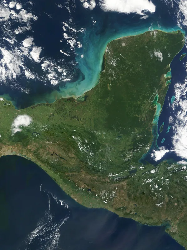
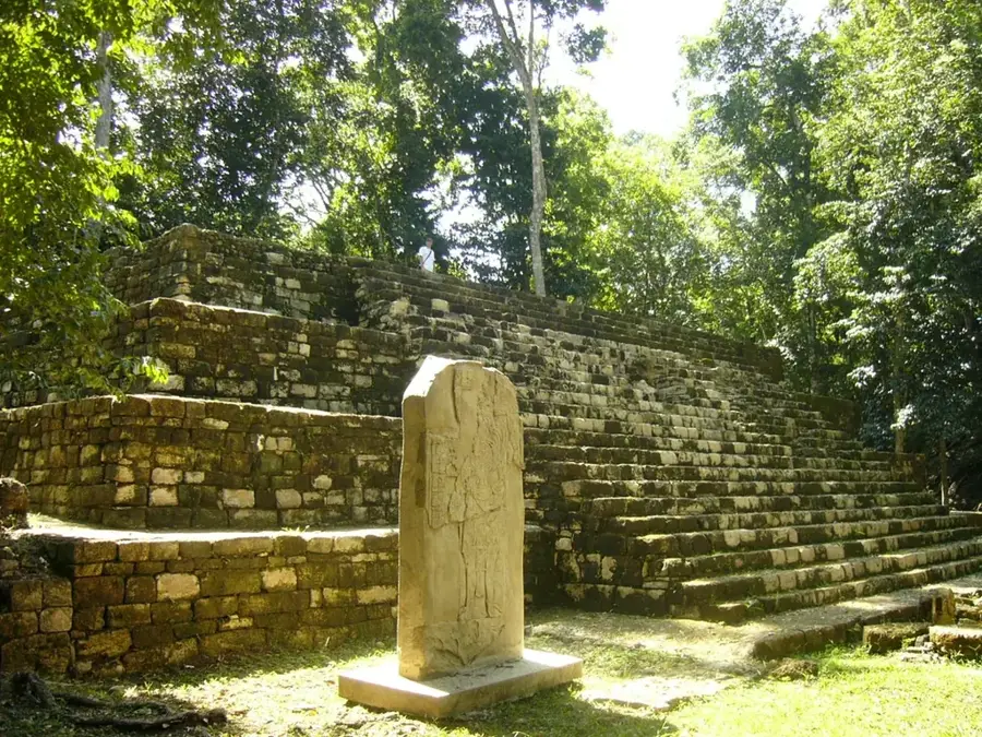
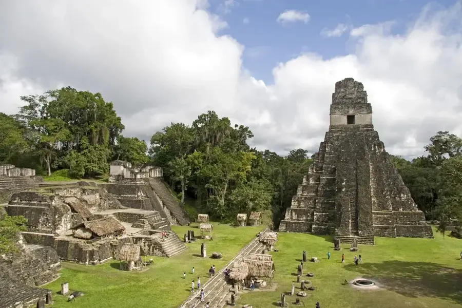
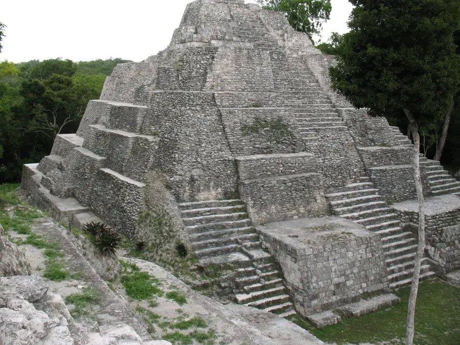
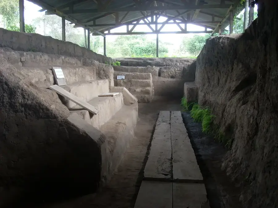
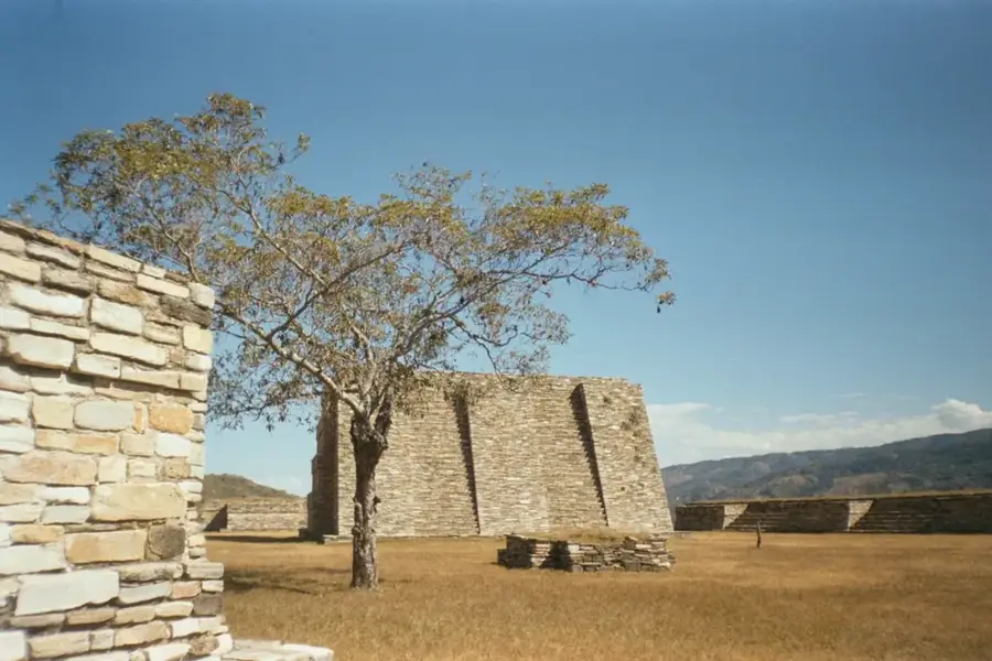
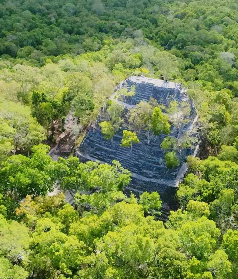
El Mirador is a monumental pre-Columbian Mayan settlement located in the northern Petén Department of Guatemala, deep within the remote jungles of the Maya Biosphere Reserve. This archaeological site flourished during the Late Preclassic period (c. 600 BC to 100 AD) and was one of the largest and most powerful centers of the Maya civilization, predating the rise of Tikal. The site's most defining feature is the La Danta pyramid complex, which stands approximately 72 meters tall and is considered one of the largest ancient structures in the world by total volume. El Mirador was interconnected with neighboring urban centers through an extensive network of 'sacbeob' (raised causeways), demonstrating a high degree of regional political and economic integration. Rediscovered in 1926, the site remains challenging to access, typically requiring a multi-day trek or a helicopter flight. Ongoing excavations at El Mirador are fundamentally reshaping our understanding of early Maya history, revealing a sophisticated society with advanced architectural and hydraulic capabilities.
- Location: Guatemala
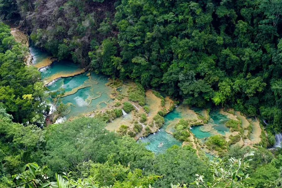
- Nearby: Lanquín (7 km)
Best time to visit & climate
The most pleasant time to visit is Jan, Feb, Dec.
| Jan | Feb | Mar | Apr | May | Jun | Jul | Aug | Sep | Oct | Nov | Dec | |
|---|---|---|---|---|---|---|---|---|---|---|---|---|
| Avg °C | 22 | 24 | 27 | 29 | 29 | 26 | 26 | 26 | 26 | 24 | 23 | 22 |
| Rain mm | 64 | 40 | 33 | 35 | 118 | 249 | 158 | 208 | 218 | 204 | 114 | 81 |
📋 Practical info
Geography
Facts
- The city flourished between 600 BC and 100 AD during the Preclassic period.
- La Danta pyramid stands 72 meters tall and is among the world's largest.
- The archaeological site encompasses an area of approximately 26 square kilometers.
- The site was officially rediscovered by explorers in 1926.
- It is located 60 kilometers away from the nearest village, Carmelita.
- It contains the highest concentration of Preclassic Mayan structures.
Explore nearby
Notable places around
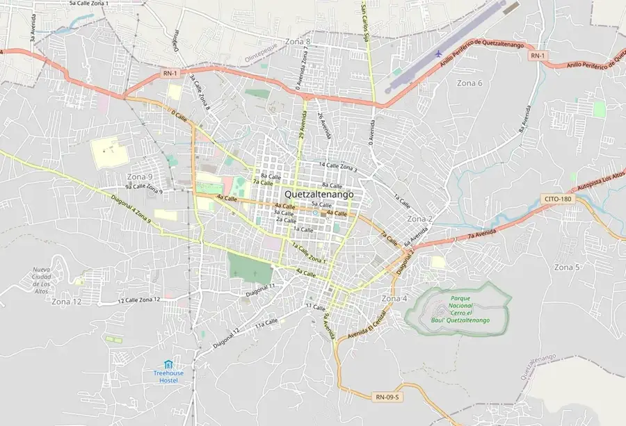
Route planner — Car & Motorhome
Where do you start? We build the route here, with stops and country notes along the way.
© OpenStreetMap contributors · OpenRouteService
Sights nearby
Frequently asked questions
How do you get to El Mirador?
Why is it so hard to reach?
Is there camping there?
How strenuous is the hike?
When is the best time?
El Mirador: where is it located?
El Mirador: when is the best time to visit?
El Mirador: why is it worth visiting?

Nearby cities

History & landmarks

Nature
More places