Plizio Visual Lab
Quetzaltenango (Xela)
ℹ️Practical info — Quetzaltenango (Xela)
▾
🌤 Weather — 5 days
📍 Nearby
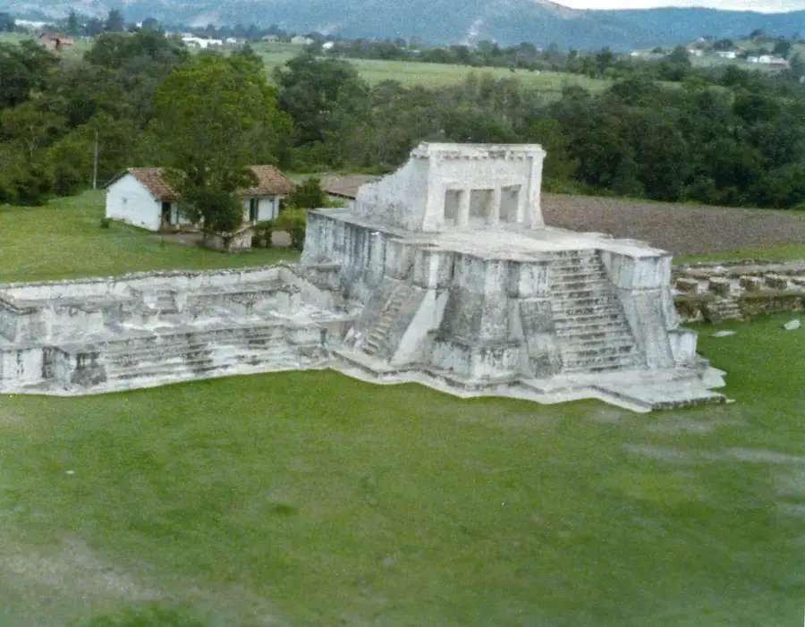
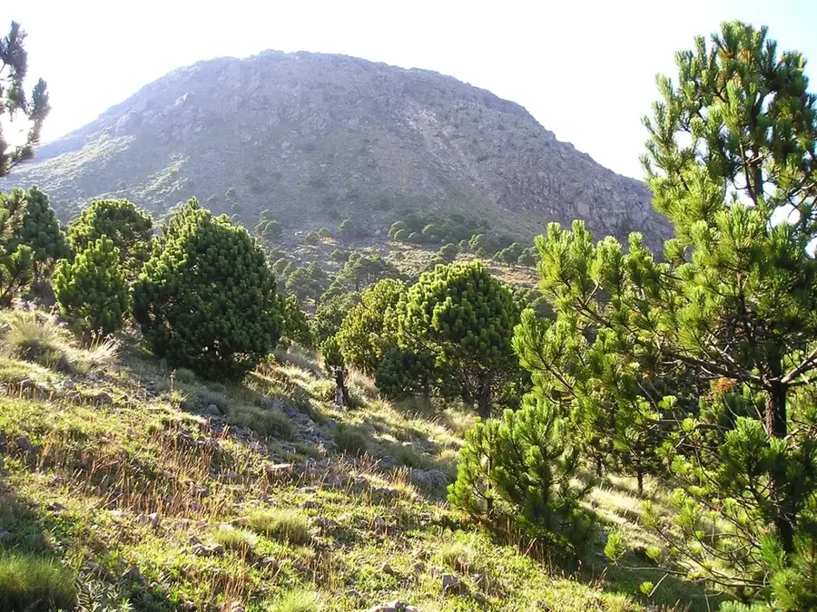
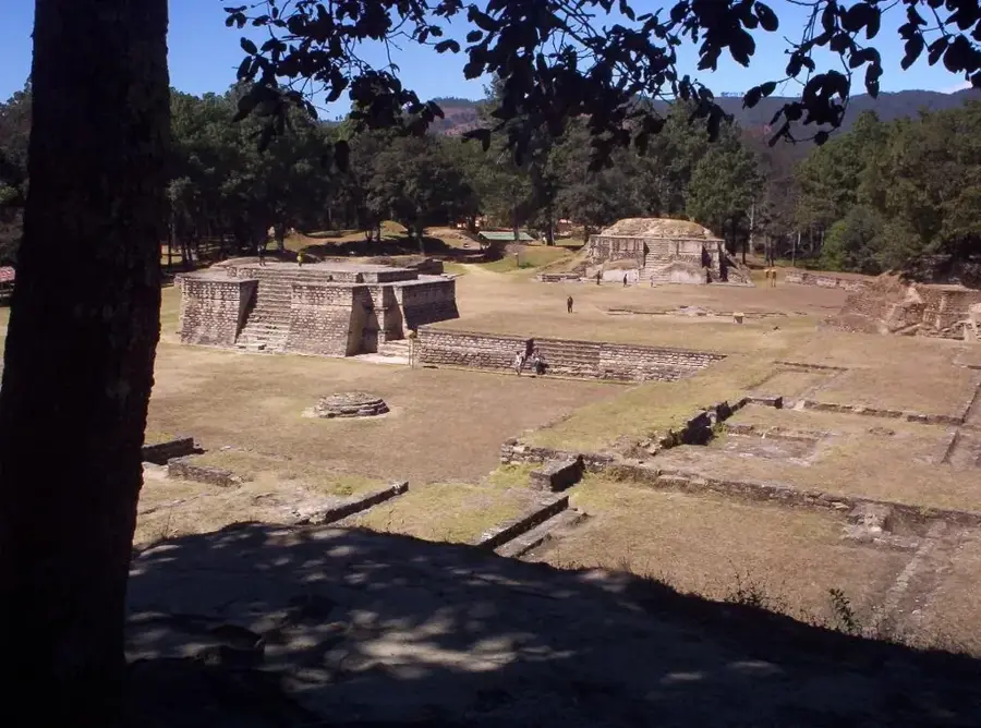
Sights nearby
💡 Tips
- Xela sits at a high altitude and can get freezing at night; bring a warm jacket and long pants.
- It's a major hub for learning Spanish; you'll find many cafes catering to students with free Wi-Fi.
- To visit the surrounding volcanoes (like Santa María), hire a local guide for safety and navigation.
- The public transport terminal (Terminal Minerva) is chaotic; keep an eye on your belongings.
🍽 Food
Sweet or savory traditional local breads, best bought fresh from bakeries near Parque Central.
A dark, spicy local stew, usually served in traditional comedores in the market areas.
Hot chocolate made from locally processed cacao is a must-try in the cafes around the main square.
🛍 Shopping · 🧘 Quiet spots
A bustling market where you can find fresh produce, cheap clothing, and daily necessities.
This historic arcade on the central park houses bars and small shops selling local crafts.
Explore the vast, somewhat chaotic market for traditional fabrics and woven goods.
The neoclassical heart of the city, great for people-watching from a bench.
A large, fascinating cemetery with impressive mausoleums, offering a quiet, reflective walk.
Water temperature…
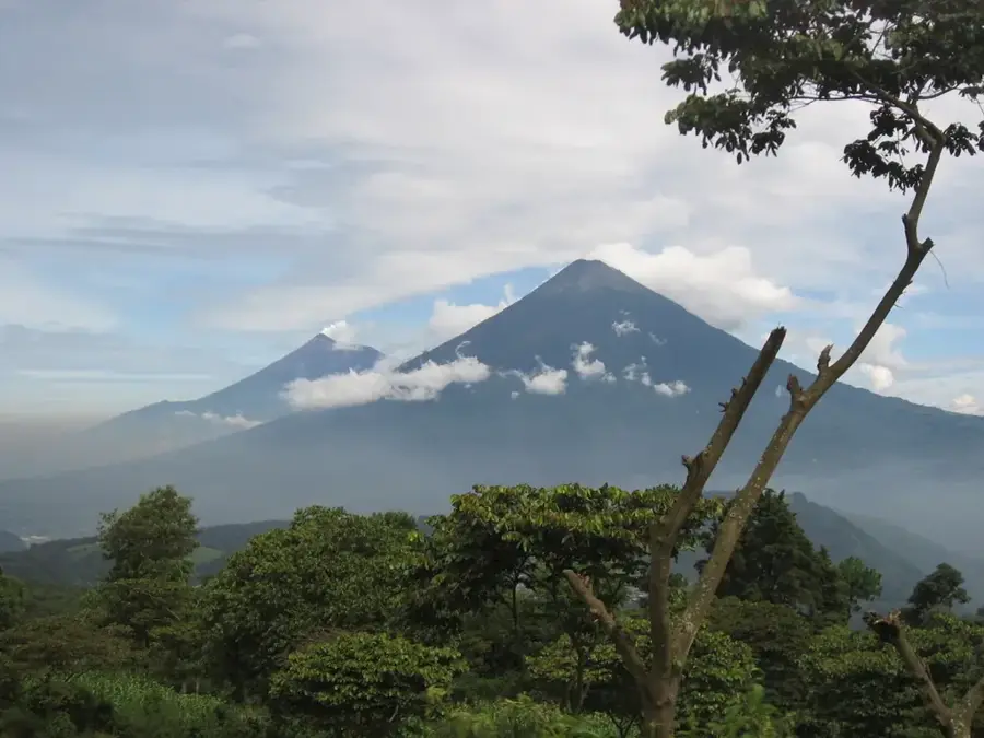
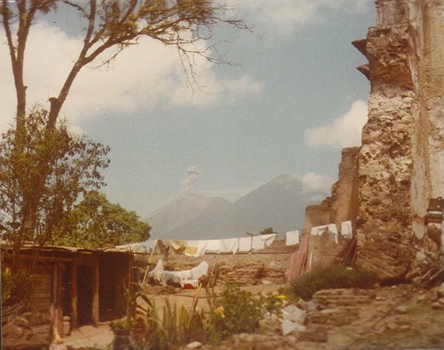
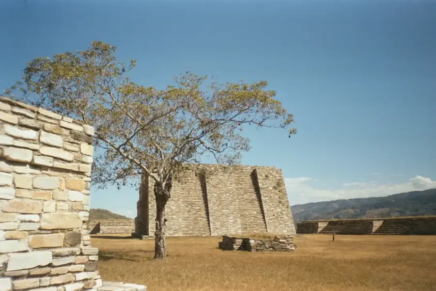
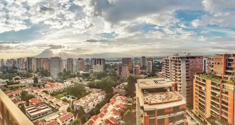
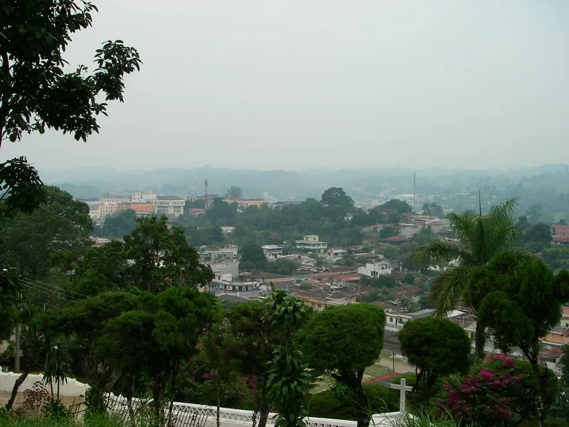
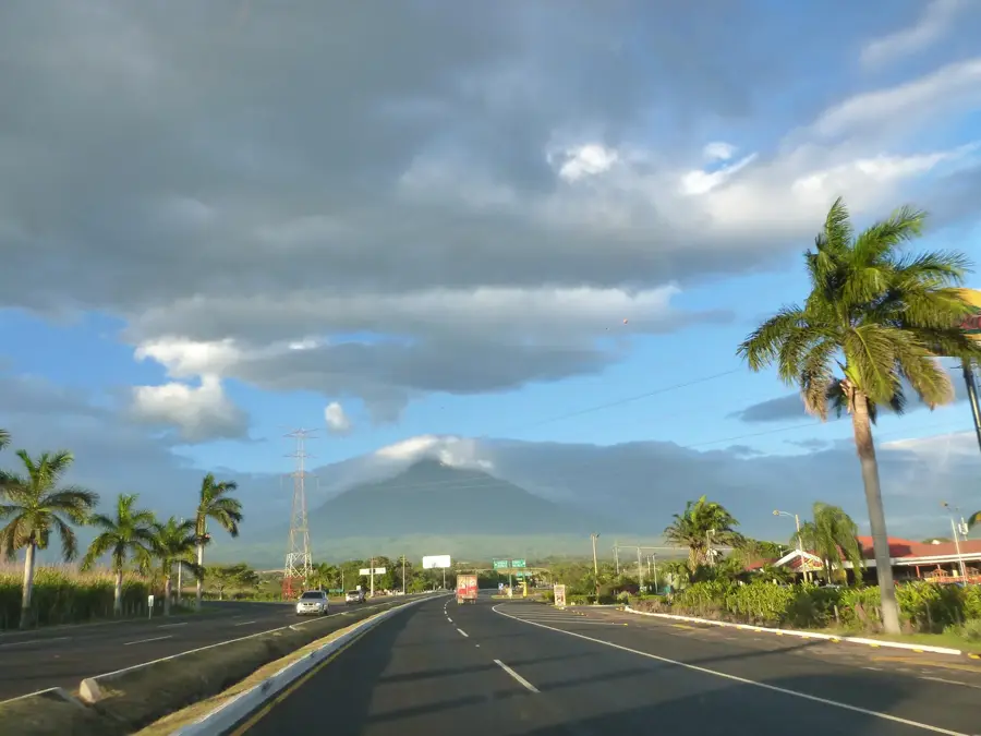
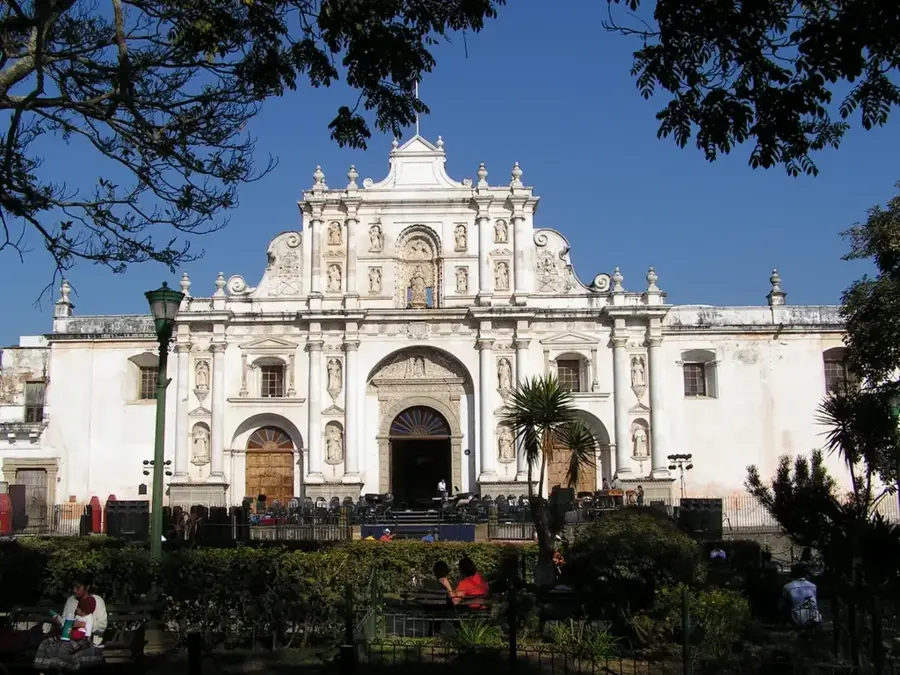
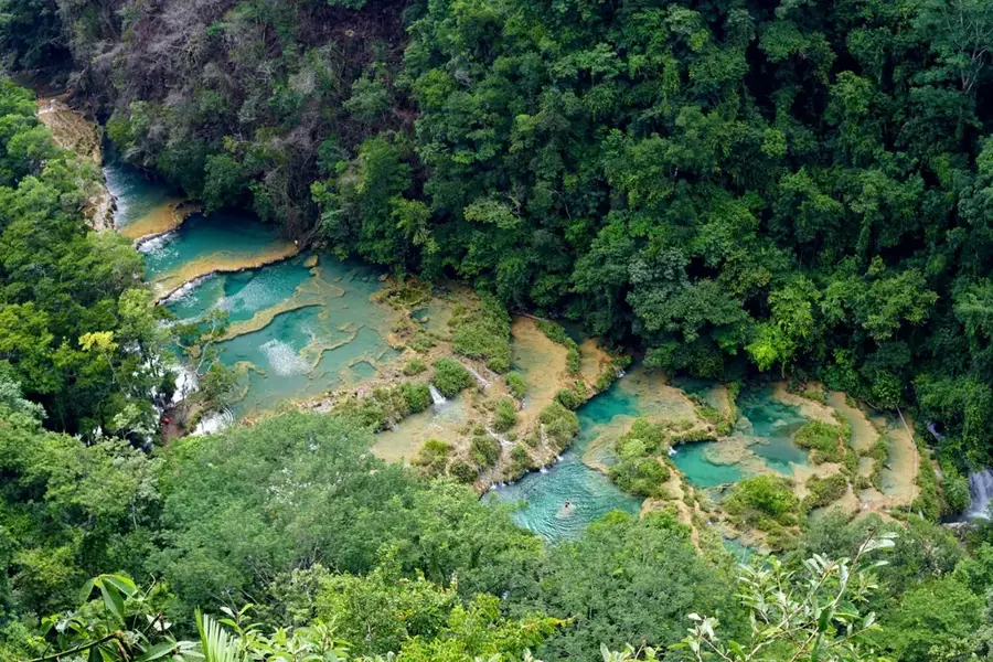
Quetzaltenango, often referred to by its indigenous name Xela, is the second-largest city in Guatemala and the cultural hub of the western highlands. Situated at a high altitude of 2,330 meters within the Sierra Madre range, the city is framed by imposing volcanoes such as Santa María and the active Santiaguito. Its history stretches back to pre-Columbian times when it was a key center for the K’iche’ Maya before being conquered in 1524 by Spanish forces under Pedro de Alvarado. In the mid-19th century, Xela briefly served as the capital of the state of Los Altos, instilling a strong sense of pride and independent identity in its residents. The architecture is characterized by buildings constructed from local grey volcanic stone, particularly around the Central Park, which features the neoclassical Municipal Theater built in 1895. Today, Quetzaltenango is internationally recognized as a premier destination for learning Spanish and for its established textile industry. The city also serves as a convenient base for trekking to surrounding peaks and visiting natural thermal baths like Fuentes Georginas.
- Location: Guatemala
- Top sights: Tertulianos · Museo Ixkik´ del Traje Maya · Chocolatería Doña Pancha
- Nearby: La Esperanza (6 km)
- Population: ~180.706 (2025)
Best time to visit & climate
The most pleasant time to visit is Feb–Apr.
| Jan | Feb | Mar | Apr | May | Jun | Jul | Aug | Sep | Oct | Nov | Dec | |
|---|---|---|---|---|---|---|---|---|---|---|---|---|
| Avg °C | 13 | 14 | 16 | 17 | 17 | 16 | 16 | 16 | 16 | 16 | 14 | 14 |
| Rain mm | 6 | 7 | 22 | 63 | 217 | 315 | 226 | 289 | 353 | 291 | 58 | 10 |
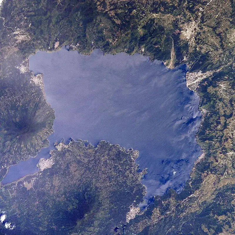
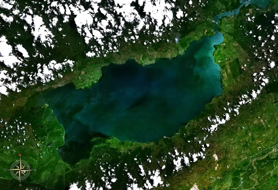
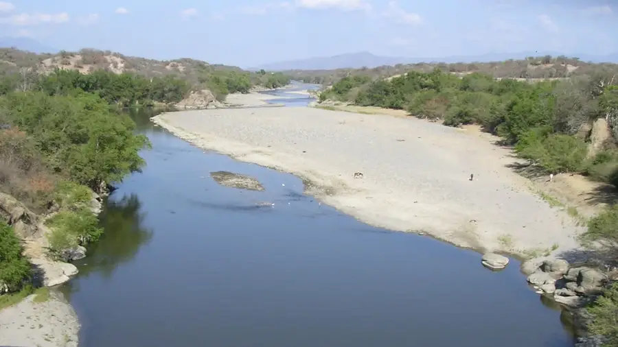
Geography
Facts
- Located at an elevation of 2,330 meters in the Sierra Madre
- Name derived from Nahuatl, meaning 'place of the Quetzal bird'
- Briefly served as the capital of the State of Los Altos (1838–1840)
- The Municipal Theater was completed in 1895 using volcanic stone
- Heavily damaged by the 1902 eruption of Santa María volcano
- Host to dozens of schools for international Spanish learners
Explore nearby
Notable places around
Route planner — Car & Motorhome
Where do you start? We build the route here, with stops and country notes along the way.
© OpenStreetMap contributors · OpenRouteService
Sights in the town Quetzaltenango (Xela) (13)
Frequently asked questions
Why is Quetzaltenango called 'Xela'?
What can you do in Xela?
What is the weather like in Xela?
Are there nearby volcanoes for hiking?
Is the city suitable for backpackers?
Quetzaltenango (Xela): where is it located?
Quetzaltenango (Xela): what is there to see?
Quetzaltenango (Xela): when is the best time to visit?
Quetzaltenango (Xela): why is it worth visiting?

Nearby cities

History & landmarks

Nature
More places