Plizio Visual Lab
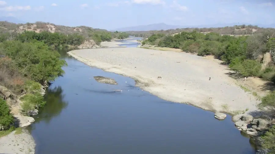
Motagua River
Weather…
Water temperature…
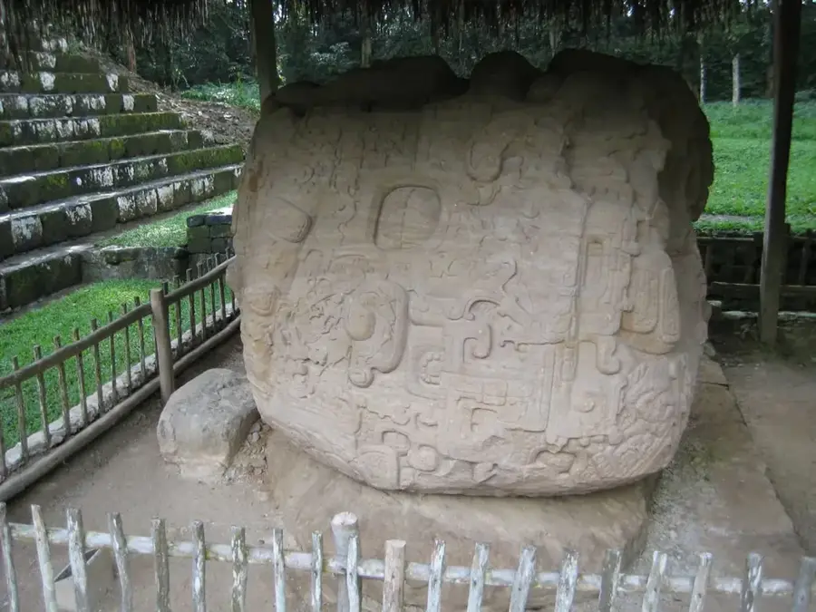
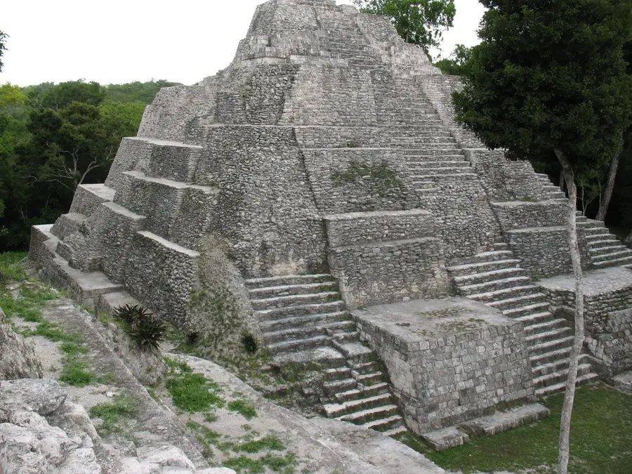
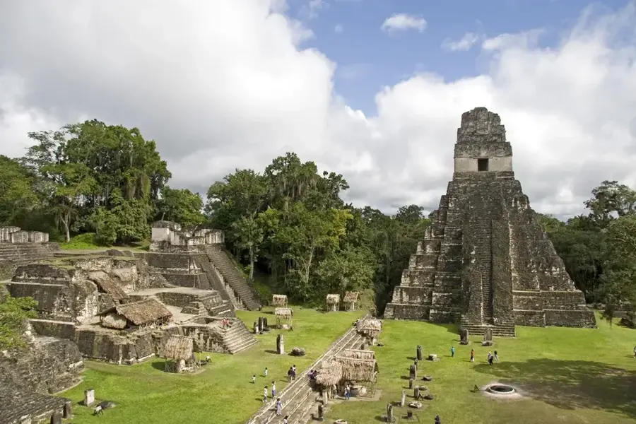
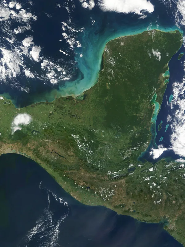
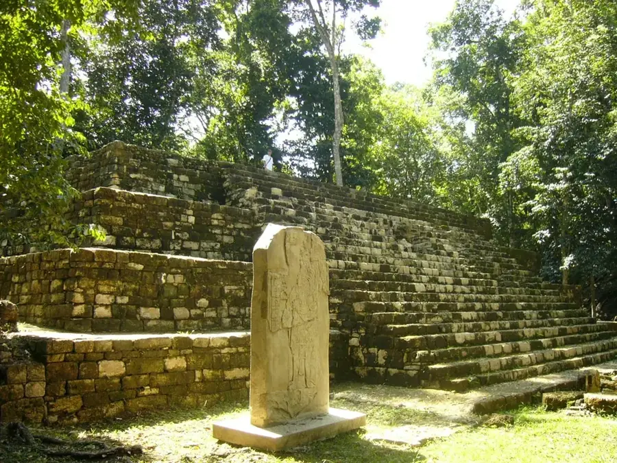
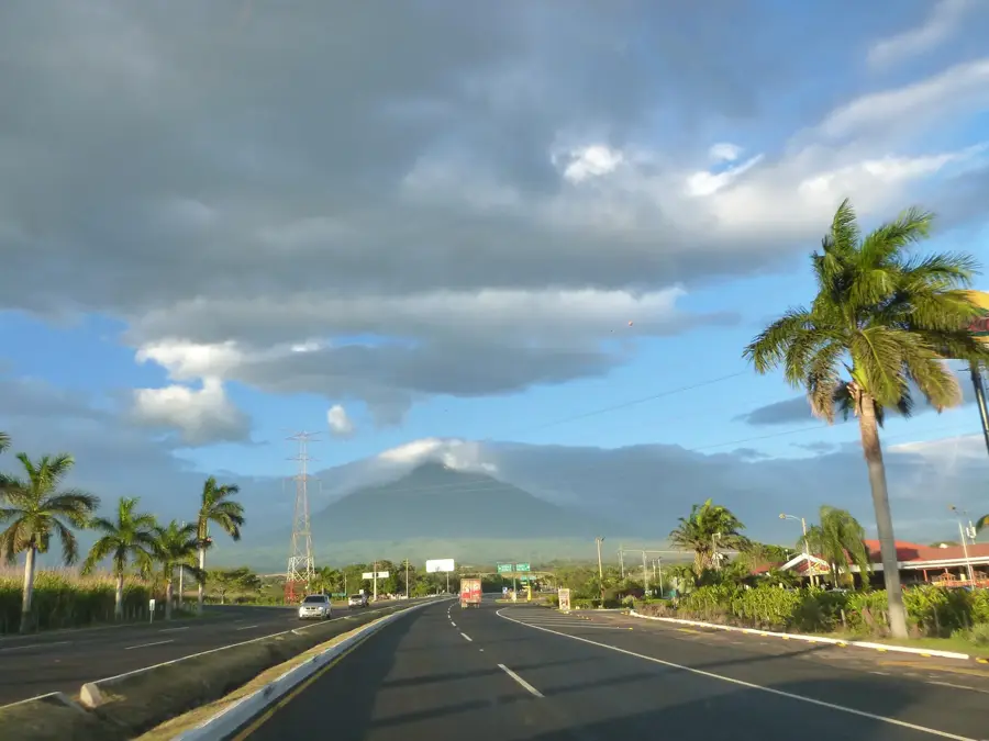
The Motagua River, stretching approximately 486 kilometers, is the longest and most significant waterway in Guatemala. Originating in the central highlands near Quiché, it flows eastward through a prominent valley before emptying into the Gulf of Honduras in the Caribbean Sea. Geologically, the Motagua Valley is of immense importance as it lies directly on the fault line separating the North American and Caribbean tectonic plates. Historically, the river valley functioned as a vital trade artery for the ancient Maya civilization, particularly for transporting prized jade and obsidian from the mountains to coastal regions. Today, the Motagua basin is a crucial agricultural zone where extensive banana plantations and cattle ranching underpin the local economy. In its lower reaches, the river also serves as part of the international border between Guatemala and Honduras. Despite its economic significance, the Motagua faces severe environmental threats from industrial runoff and urban waste. Recent conservation efforts are increasingly focused on restoring the river's ecological health and protecting the biodiversity along its banks.
- Location: Guatemala
- Nearby: Santo Tomás de Castilla (42 km)
Best time to visit & climate
The most pleasant time to visit is Jan–Mar.
| Jan | Feb | Mar | Apr | May | Jun | Jul | Aug | Sep | Oct | Nov | Dec | |
|---|---|---|---|---|---|---|---|---|---|---|---|---|
| Avg °C | 22 | 23 | 24 | 26 | 27 | 26 | 26 | 26 | 26 | 25 | 23 | 23 |
| Rain mm | 111 | 83 | 64 | 44 | 105 | 170 | 158 | 153 | 179 | 187 | 174 | 118 |
📋 Practical info
Geography
Facts
- The longest river in Guatemala, covering a distance of 486 km
- Flows along the geological boundary of two tectonic plates
- The primary source of jade for the entire ancient Maya world
- Discharges into the Caribbean Sea via the Gulf of Honduras
- Acts as a natural international border with Honduras in the east
- The river valley is the heart of Guatemala's banana industry
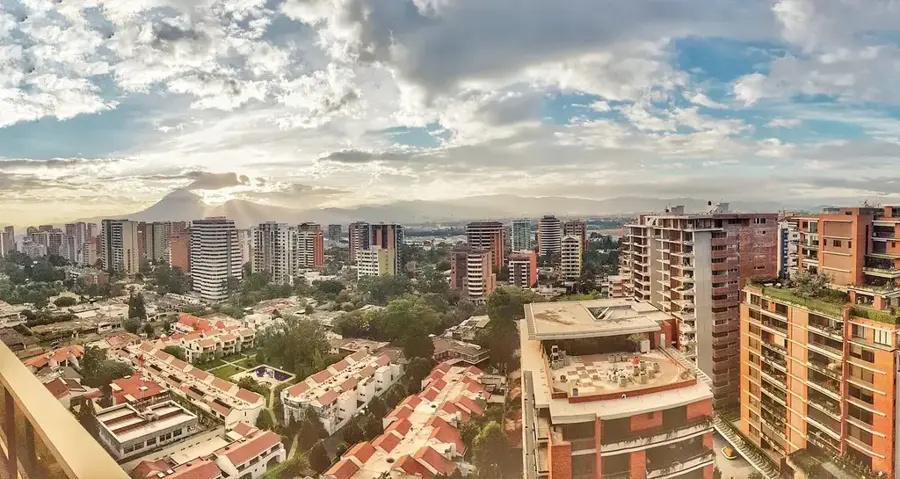
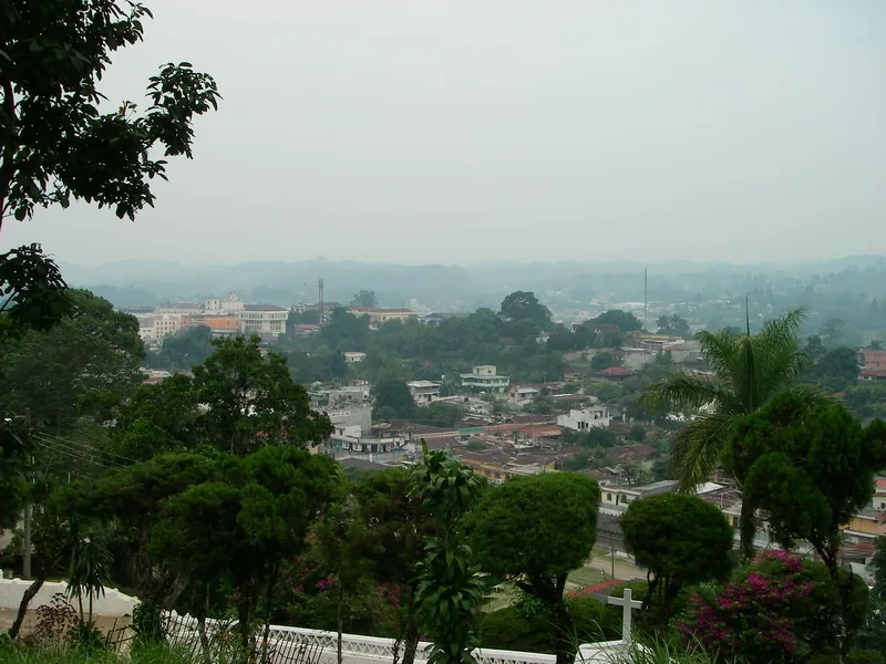
Explore nearby
Notable places around
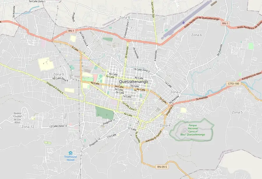
Route planner — Car & Motorhome
Where do you start? We build the route here, with stops and country notes along the way.
© OpenStreetMap contributors · OpenRouteService
Sights nearby
Frequently asked questions
How long is the Motagua River?
Where does the river originate?
Are there archaeological sites there?
What minerals are found at the river?
Can you go rafting on the Motagua?
Motagua River: where is it located?
Motagua River: when is the best time to visit?
Motagua River: why is it worth visiting?

Nearby cities

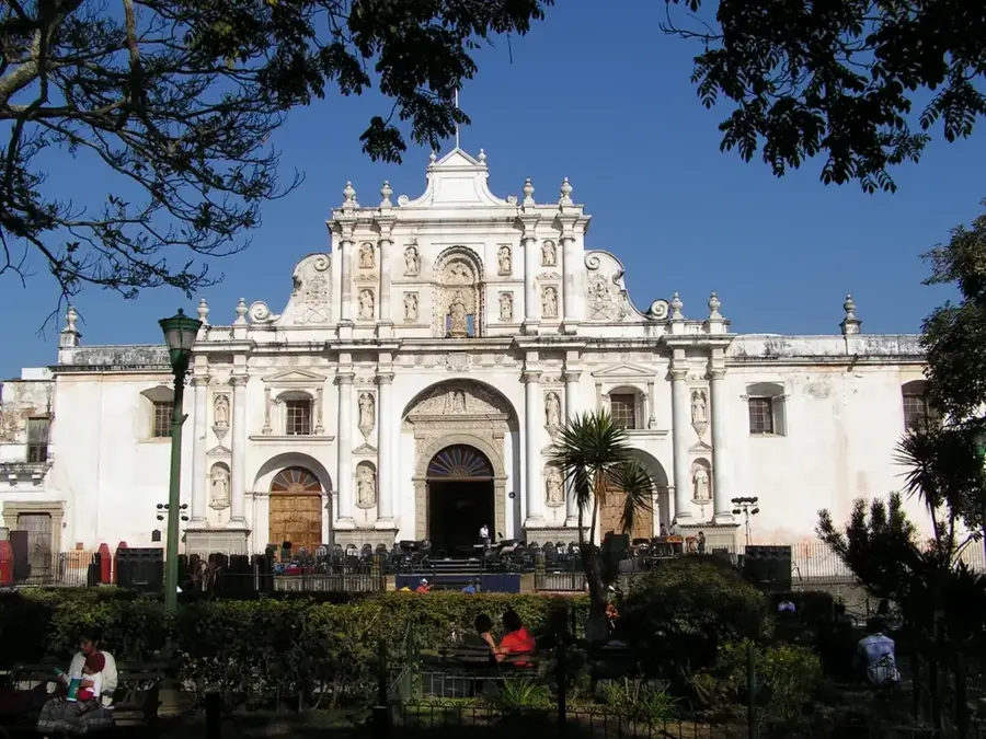
History & landmarks
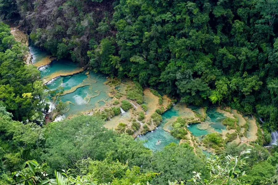

Nature
More places