Plizio Visual Lab
San Marcos
ℹ️Practical info — San Marcos
▾
🌤 Weather — 5 days
📍 Nearby
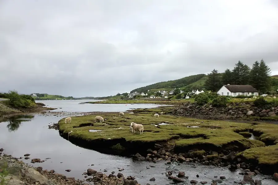
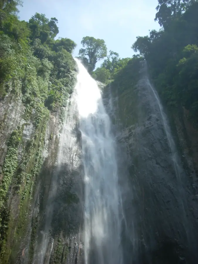
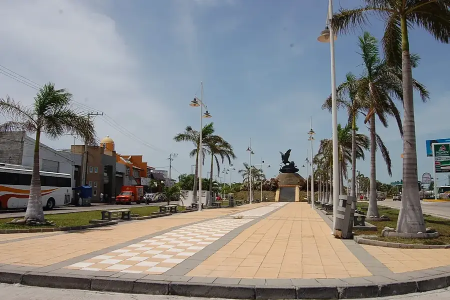
Sights nearby
💡 Tips
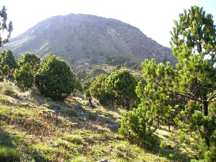
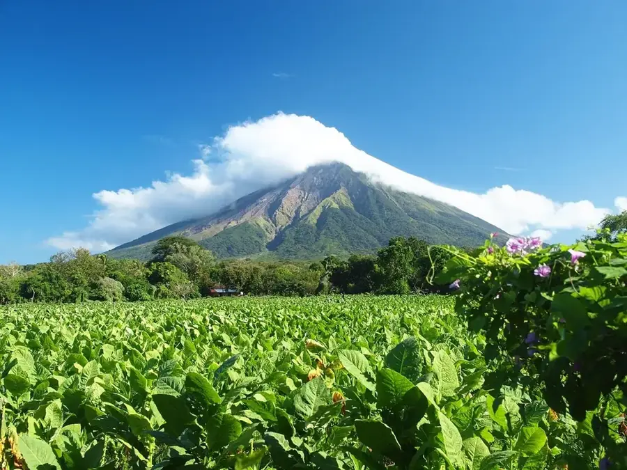
- Base yourself here if you plan to hike the Tajumulco volcano, the highest peak in Central America.
- Acclimatize to the high altitude before attempting strenuous hikes.
- Weather can change rapidly; pack layers and rain gear, especially for mountain excursions.
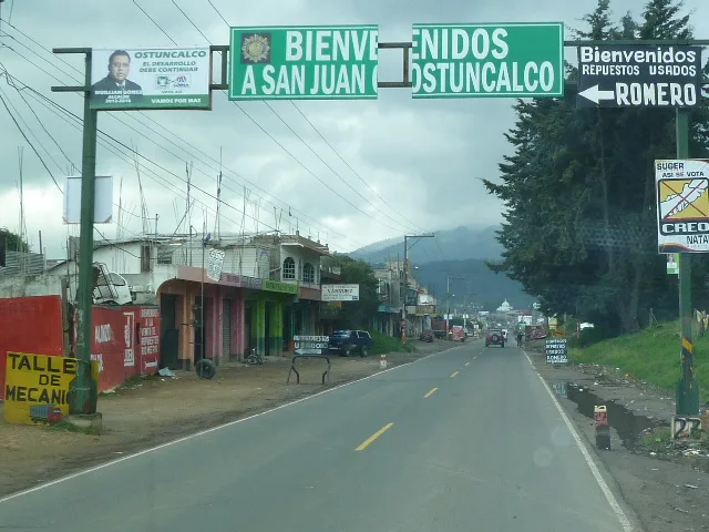
- The twin city of San Pedro Sacatepéquez is right next door; you can easily walk or take a quick tuk-tuk between their central plazas.
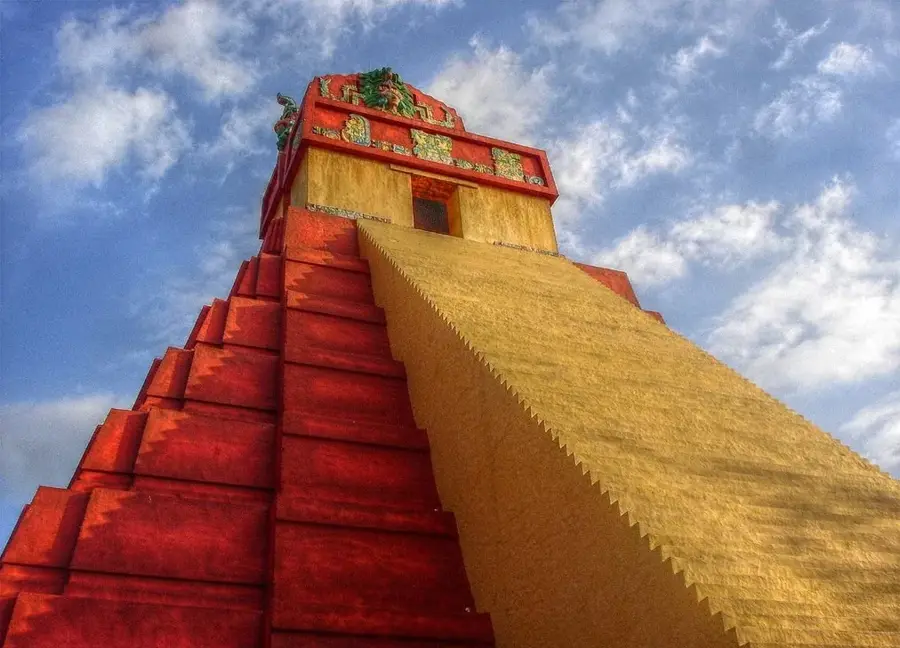
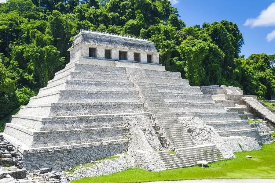
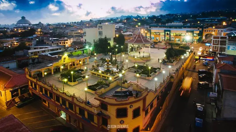
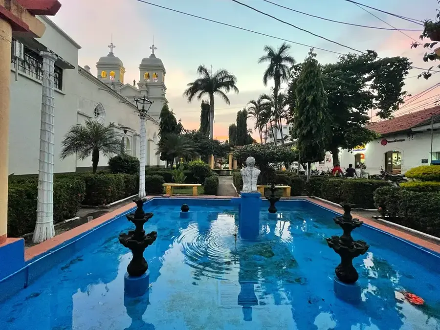
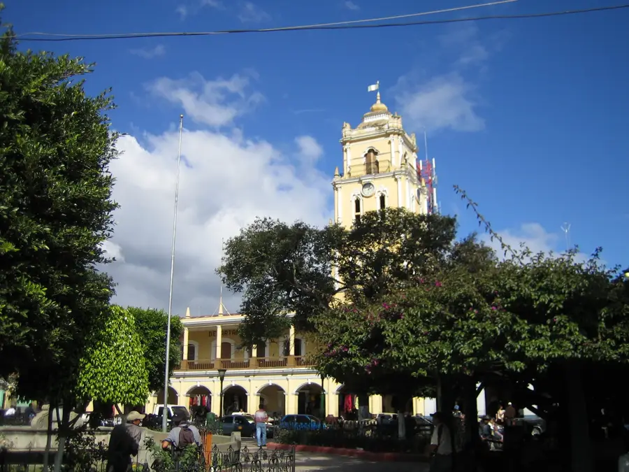
- Visit the ornate Palacio Maya, an iconic municipal building with unique architectural features.
🍽 Food
Hearty hen soup, well-suited for the chilly mountain climate, found in local eateries.
Small Guatemalan tamales wrapped in corn husks, available in the main square.
Enjoy traditional hot chocolate to warm up in the chilly evenings.
🛍 Shopping · 🧘 Quiet spots
Just next door, one of the most animated markets in the region for textiles and goods.
Find colorful woven fabrics and traditional highland clothing.
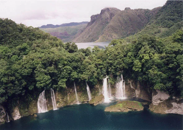
Relaxing thermal pools on the outskirts of the city.
A nearby hill offering panoramic views of the twin cities and surrounding valleys.
Water temperature…
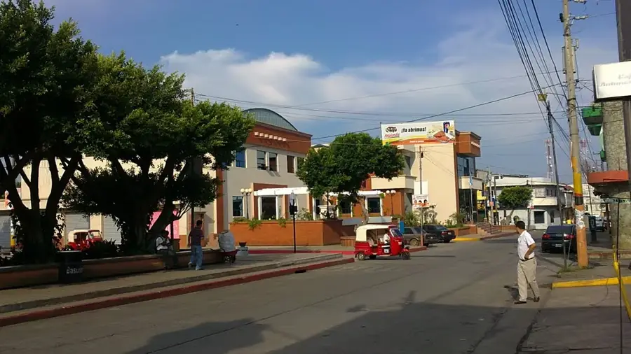
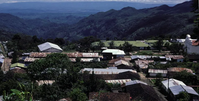
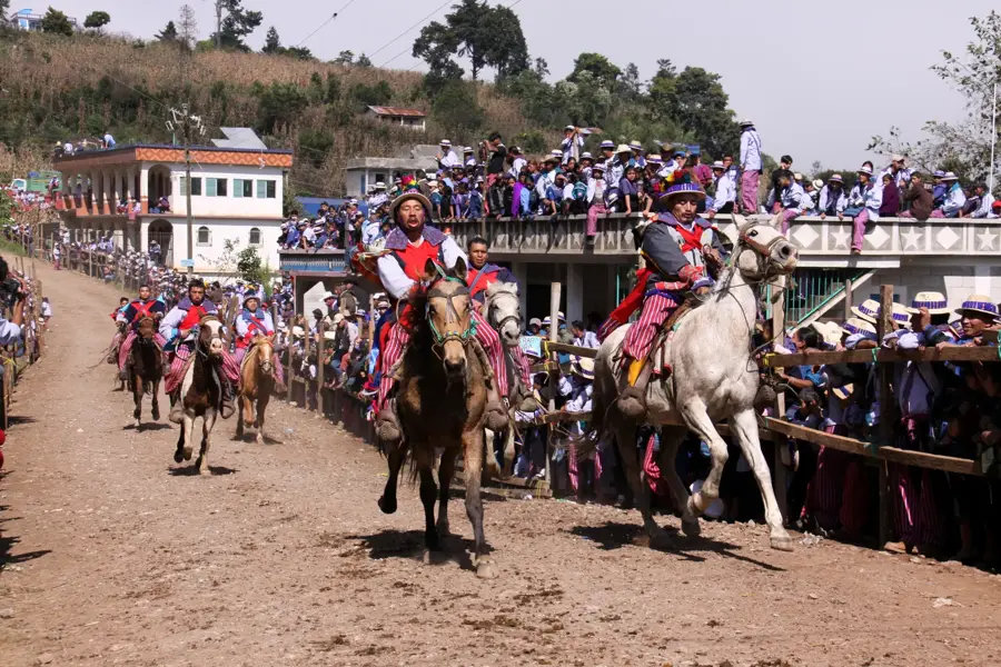
San Marcos, the capital of the San Marcos department in western Guatemala, is a city defined by its high-altitude setting and historical resilience. Positioned at nearly 2,400 meters above sea level in the western highlands, the city enjoys a brisk, cool climate and serves as a gateway to the country's most dramatic volcanic landscapes, including the peaks of Tajumulco and Tacaná. Established in 1533, San Marcos has survived numerous seismic events, each time rebuilding with a sense of dignity that earned it the nickname "Ciudad Prócer" (City of Patriots). The city's layout features wide streets and neoclassical buildings, a result of careful planning following major earthquakes in the 20th century. San Marcos shares a unique urban relationship with the neighboring town of San Pedro Sacatepéquez; together they form a large metropolitan area where traditional commerce and modern industry intertwine. The local economy is driven by high-altitude agriculture, with coffee, potatoes, and wheat being primary exports, alongside a significant livestock sector. Trade with nearby Mexico also plays a vital role in the city's economic health, making it a bustling commercial hub. Culturally, San Marcos is a center for education and the arts, hosting several university campuses and producing many of Guatemala's prominent intellectuals. The city’s patron saint festival, held in April in honor of Saint Mark, is an animated display of faith, sportsmanship, and traditional music. Demographically, while the city center is largely Ladino, the surrounding rural areas are deeply rooted in Mam Maya traditions, creating a dynamic cultural exchange. The combination of its strategic location, academic importance, and the raw beauty of the surrounding mountains makes San Marcos a critical center of development and heritage in the Guatemalan highlands.
- Location: Guatemala
- Top sights: San Marcos, Guatemala · Estadio Marquesa de la Ensenada · San Marcos Department
- Nearby: Colomba (7 km)
- Population: ~47.063 (2025)
Best time to visit & climate
The most pleasant time to visit is Feb, Mar, Dec.
| Jan | Feb | Mar | Apr | May | Jun | Jul | Aug | Sep | Oct | Nov | Dec | |
|---|---|---|---|---|---|---|---|---|---|---|---|---|
| Avg °C | 17 | 18 | 19 | 20 | 20 | 19 | 19 | 19 | 19 | 19 | 18 | 17 |
| Rain mm | 5 | 7 | 25 | 71 | 248 | 332 | 247 | 308 | 380 | 313 | 68 | 10 |
Geography
Facts
- San Marcos is situated at an elevation of 2,398 meters (7,867 feet).
- The city was founded on April 25, 1533, by Spanish explorers.
- It is famously known as 'Ciudad Prócer' for its historical role in national politics.
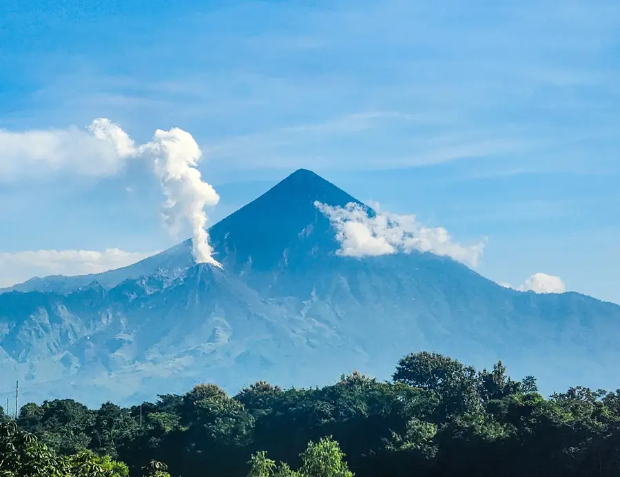
- The nearby Tajumulco Volcano is the highest peak in Central America at 4,222m.
- San Marcos and San Pedro Sacatepéquez form a nearly seamless urban conurbation.
- The city's climate is classified as subtropical highland (Cwb), characterized by cool winters.
- Local trade is heavily influenced by its proximity to the Mexican border at Tecún Umán.
- The Departmental Palace is one of the city's most iconic architectural landmarks.
Explore nearby
Notable places around
Route planner — Car & Motorhome
Where do you start? We build the route here, with stops and country notes along the way.
© OpenStreetMap contributors · OpenRouteService
Sights in the town San Marcos (3)
Frequently asked questions
Why do hikers visit San Marcos?
What is the climate like in the city?
What can you see in the city center?
What is the region economically known for?
Are there thermal baths nearby?
San Marcos: where is it located?
San Marcos: what is there to see?
San Marcos: when is the best time to visit?
San Marcos: why is it worth visiting?

Nearby cities
History & landmarks
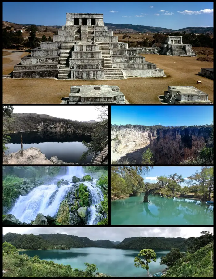
Nature
More places