Plizio Visual Lab
Lake Atitlán
Weather…
Water temperature…
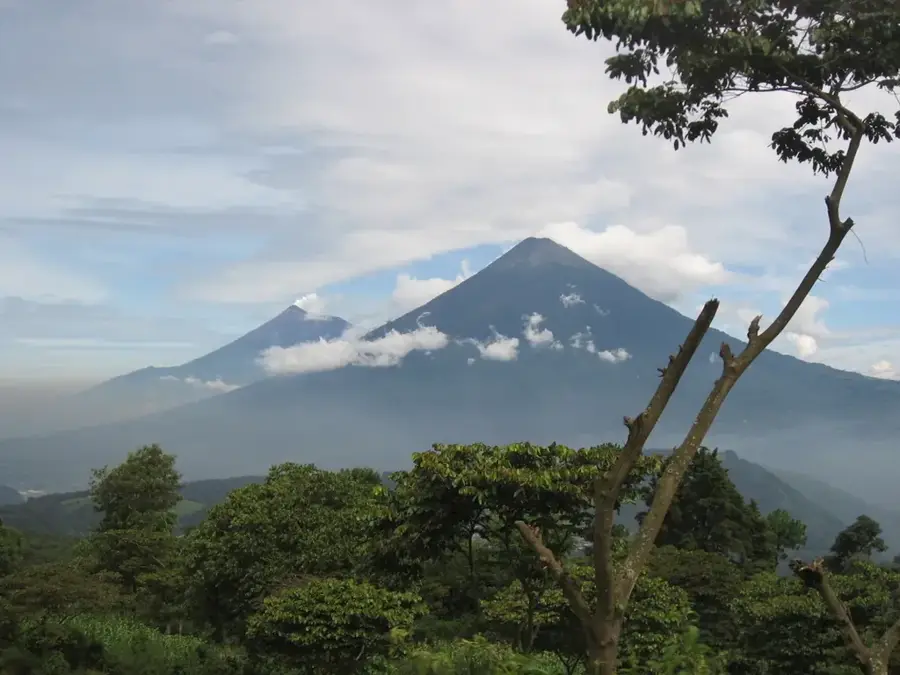
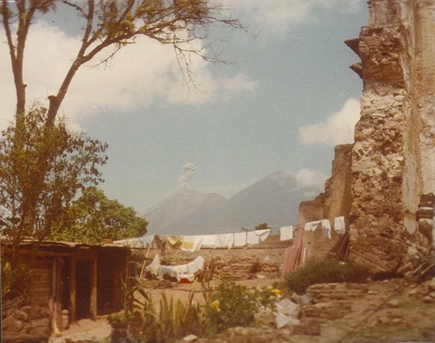
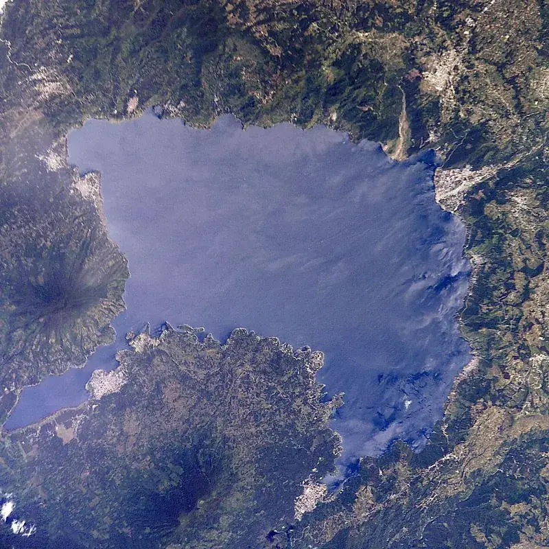
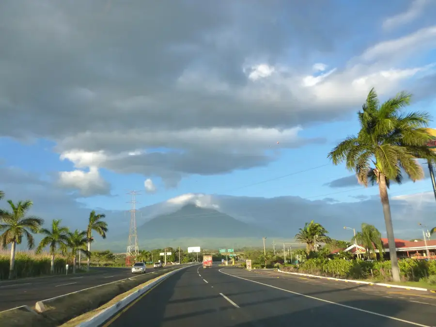
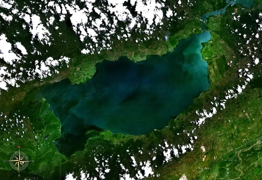
Lake Atitlán, located in the Sololá department, is frequently cited as the most beautiful lake in the world, sitting within a massive volcanic caldera at 1,560 meters above sea level. This basin was formed approximately 84,000 years ago during the cataclysmic Los Chocoyos eruption. Reaching depths of up to 340 meters, Atitlán is the deepest lake in Central America. It is spectacularly framed by three towering volcanoes: Atitlán, Tolimán, and San Pedro, creating a natural skyline unlike any other. The lake's shores are dotted with villages inhabited by the Tz'utujil and Kaqchikel Maya people, who have maintained their bustling traditions, indigenous languages, and distinctive hand-woven attire. Towns like Panajachel, Santiago Atitlán, and San Juan La Laguna are renowned centers for artisanal crafts, textile weaving, and high-quality organic coffee. A unique meteorological feature is the 'Xocomil,' a strong daily wind that usually stirs the lake's surface around noon. While a major tourism hub, the lake faces ongoing ecological challenges, including water quality issues, which local and global conservation efforts are striving to resolve.
- Location: Guatemala
- Nearby: Panajachel (5 km)
Best time to visit & climate
The most pleasant time to visit is Jan, Feb, Dec.
| Jan | Feb | Mar | Apr | May | Jun | Jul | Aug | Sep | Oct | Nov | Dec | |
|---|---|---|---|---|---|---|---|---|---|---|---|---|
| Avg °C | 21 | 22 | 23 | 24 | 24 | 23 | 23 | 23 | 22 | 22 | 21 | 21 |
| Rain mm | 4 | 6 | 18 | 64 | 231 | 317 | 234 | 292 | 346 | 302 | 61 | 8 |
📋 Practical info
Geography
Facts
- The deepest lake in Central America, reaching down to 340 meters
- Formed by the massive Los Chocoyos volcanic eruption 84,000 years ago
- Encircled by three volcanoes: Atitlán, Tolimán, and San Pedro
- Surrounded by twelve traditional Kaqchikel and Tz'utujil villages
- The name Atitlán translates to 'at the water' in the Maya language
- Features a daily wind phenomenon known as the 'Xocomil'
Explore nearby
Notable places around
Route planner — Car & Motorhome
Where do you start? We build the route here, with stops and country notes along the way.
© OpenStreetMap contributors · OpenRouteService
Sights nearby
Frequently asked questions
How do you move between the villages?
Which villages are the best?
Is the lake family-friendly?
When is the weather best?
How to get to the lake from Guatemala City?
Lake Atitlán: where is it located?
Lake Atitlán: when is the best time to visit?
Lake Atitlán: why is it worth visiting?

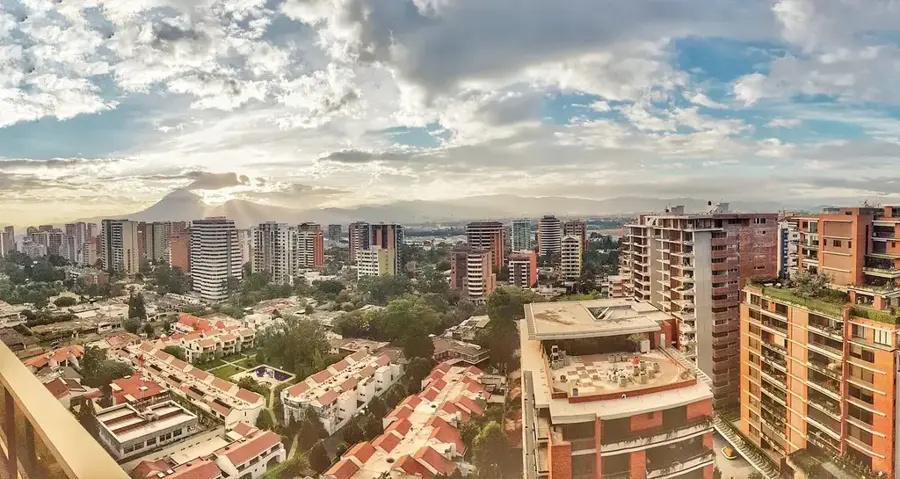
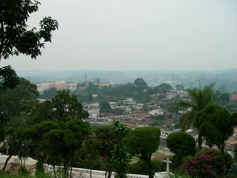
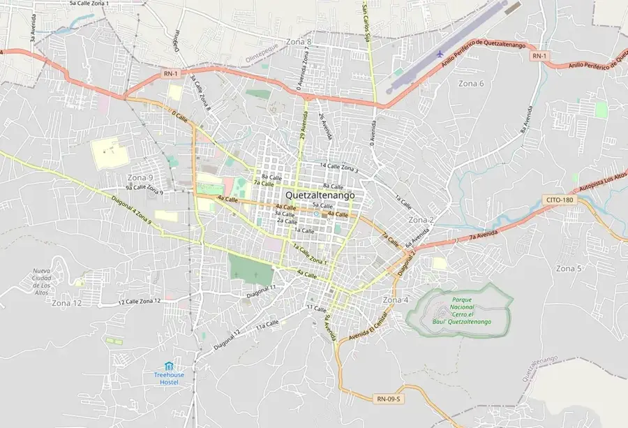
Nearby cities

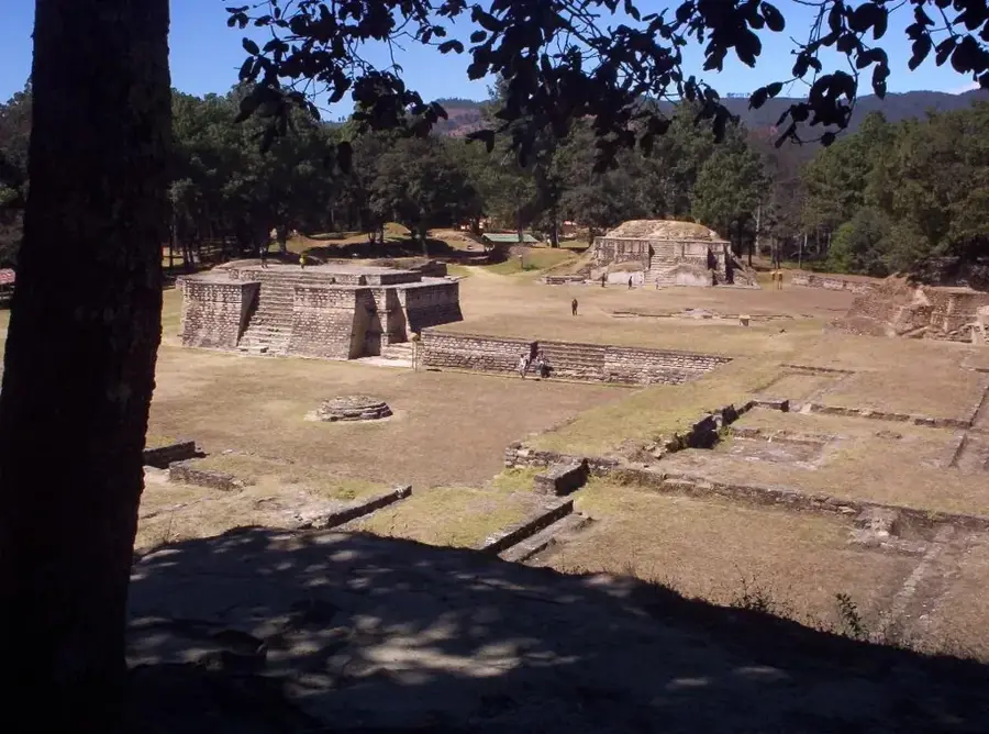
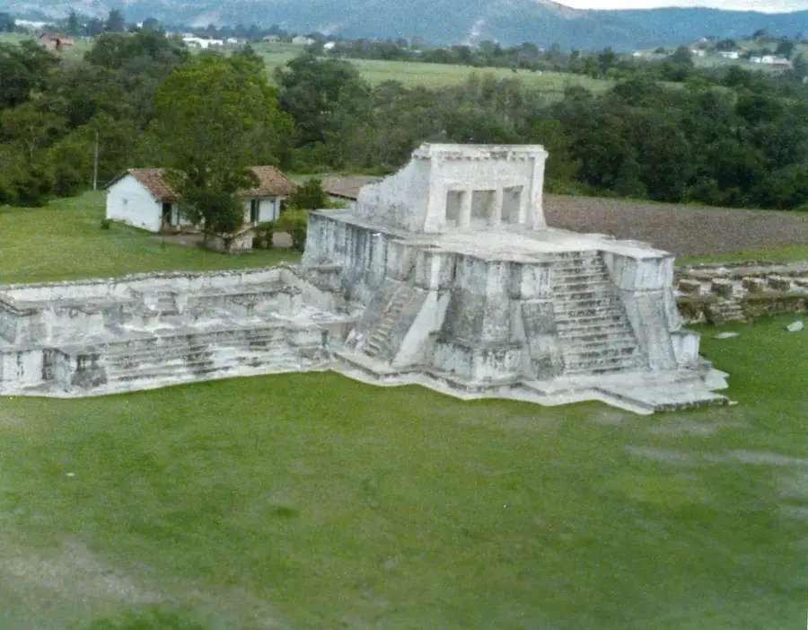
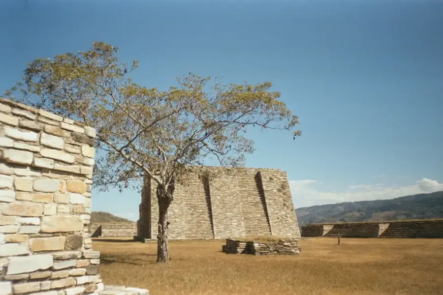
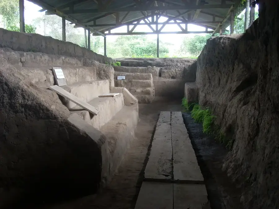
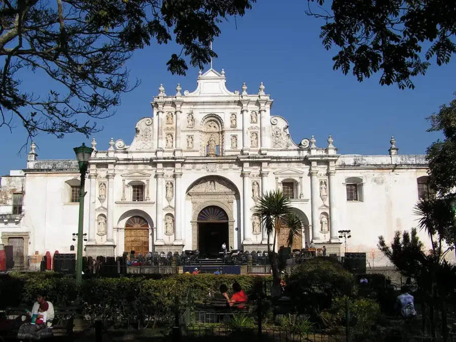
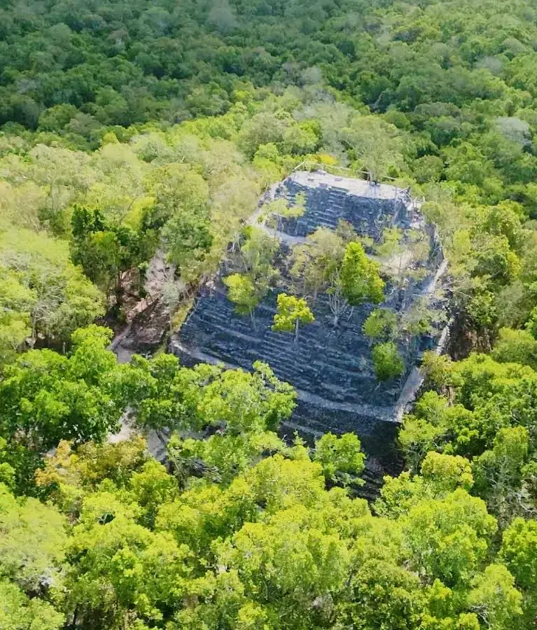
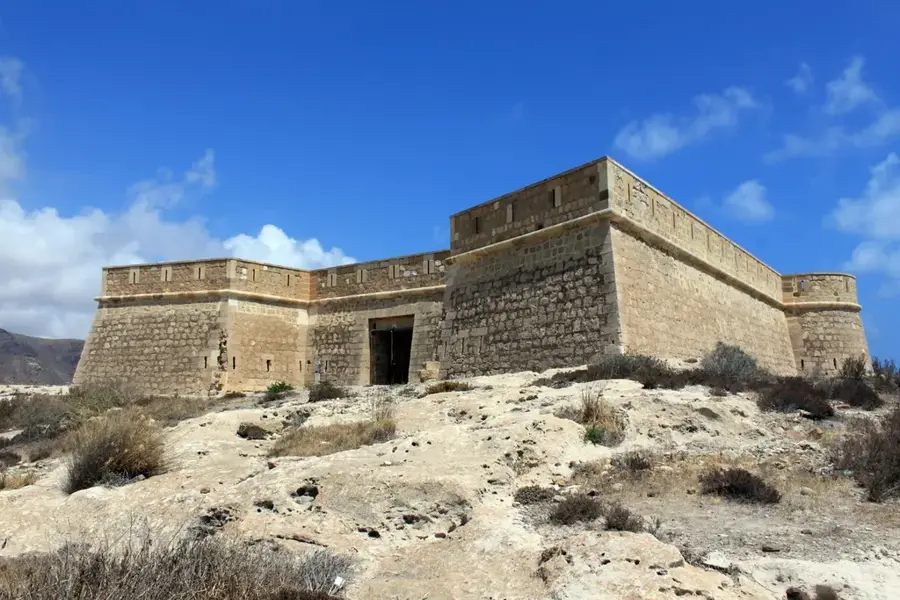
History & landmarks

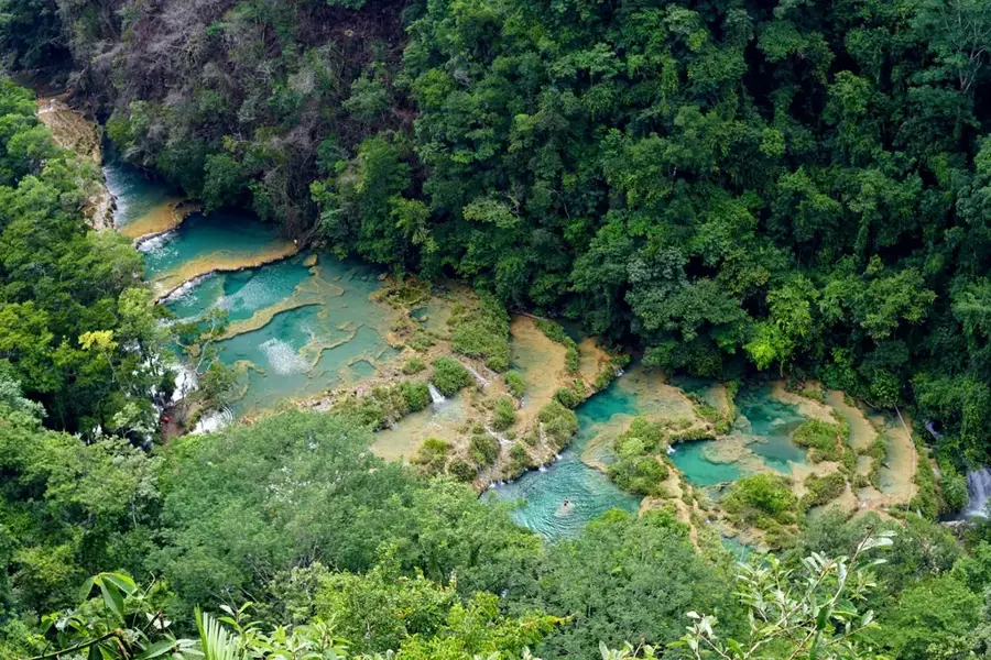
Nature
More places