Plizio Visual Lab
Tacaná Volcano
Weather…
Water temperature…
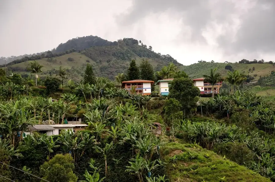
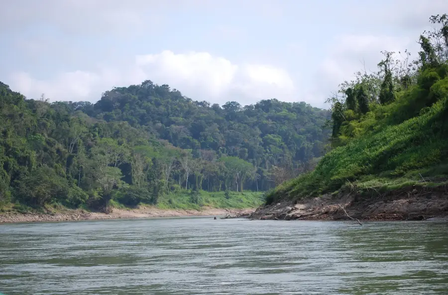
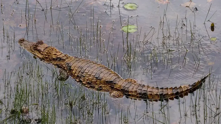
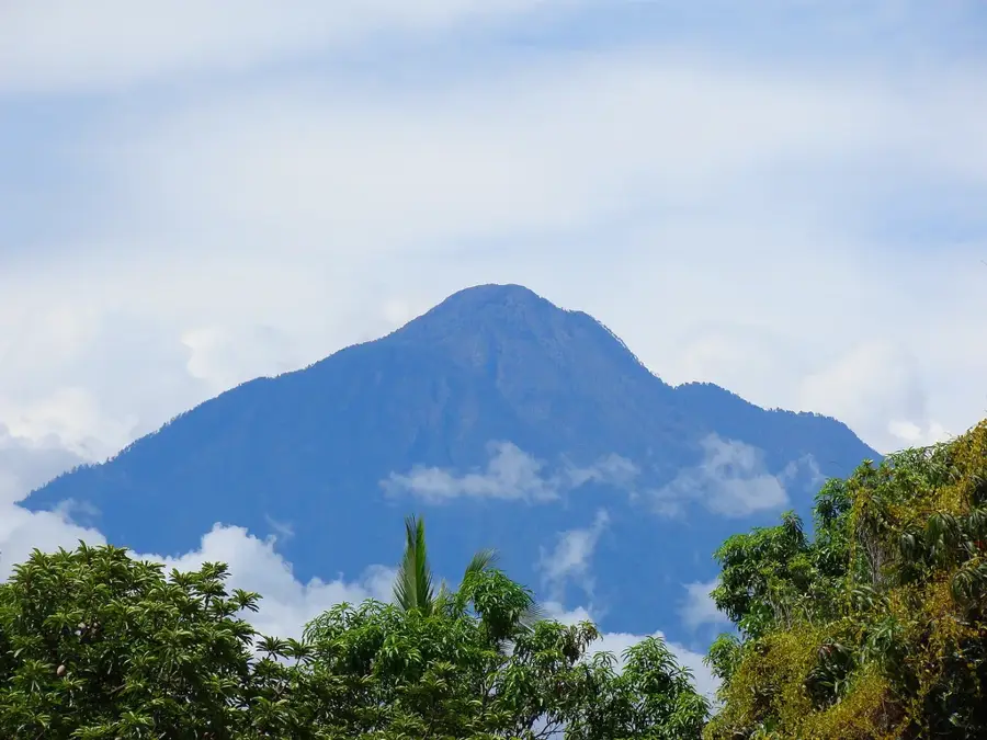
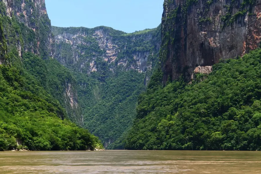
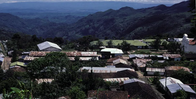
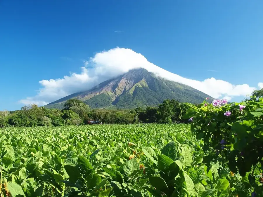
Tacaná Volcano is a massive stratovolcano situated exactly on the international border between the Mexican state of Chiapas and Guatemala. Rising to an elevation of 4,060 meters, it is the second-highest peak in Central America and the highest in southeastern Mexico. The volcano is part of the Central America Volcanic Arc and features a complex summit structure with several dacitic lava domes. While classified as active, its most recent significant phreatic eruptions occurred in 1949-1950 and 1986. The slopes of Tacaná exhibit a remarkable vertical zonation of vegetation, ranging from lush tropical rainforests at its base to alpine meadows near the summit. This rich biodiversity led to its designation as the Volcán Tacaná Biosphere Reserve, which protects rare species like the resplendent quetzal. Climbing to the summit is a popular pursuit for hikers, providing expansive views across the Sierra Madre de Chiapas and toward the Pacific coastline during clear weather.
- Location: Mexico
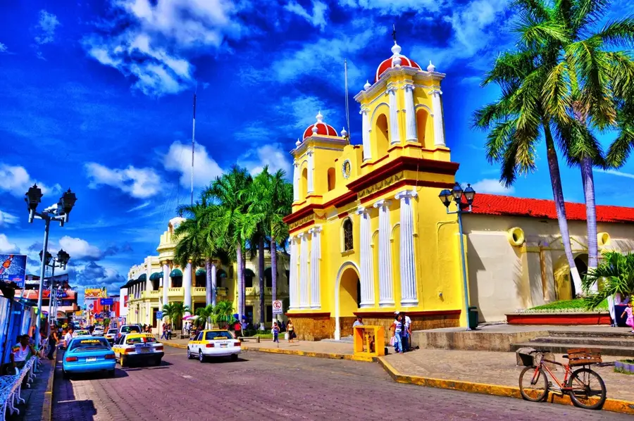
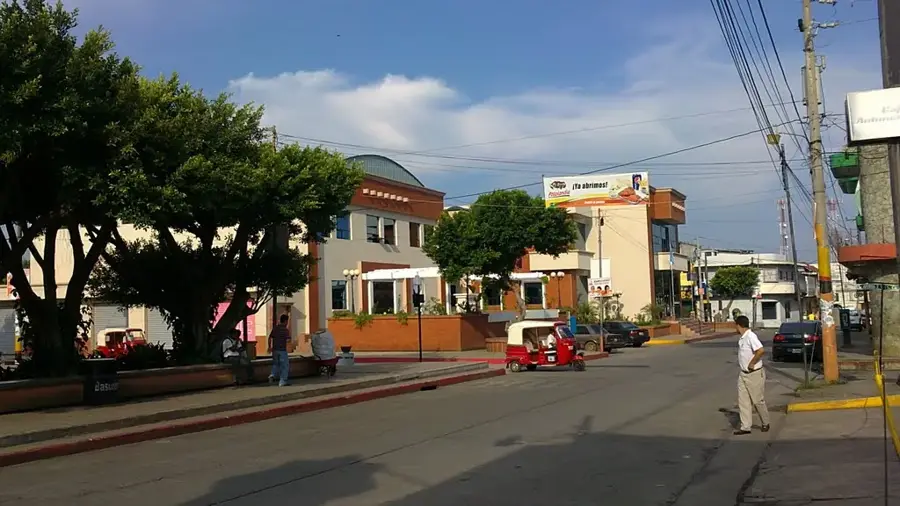
- Nearby: Tapachula (19 km)
Best time to visit & climate
The most pleasant time to visit is Feb, Mar, Dec.
| Jan | Feb | Mar | Apr | May | Jun | Jul | Aug | Sep | Oct | Nov | Dec | |
|---|---|---|---|---|---|---|---|---|---|---|---|---|
| Avg °C | 17 | 18 | 19 | 20 | 20 | 19 | 19 | 19 | 19 | 19 | 18 | 17 |
| Rain mm | 5 | 7 | 25 | 71 | 248 | 332 | 247 | 308 | 380 | 313 | 68 | 10 |
📋 Practical info
Geography
Facts
- Stands at an elevation of 4,060 meters
- Located on the border of Mexico and Guatemala
- Part of the Central America Volcanic Arc
- Last significant phreatic eruption in 1986
- Designated a Biosphere Reserve in 2006
- Home to the rare resplendent quetzal bird
Explore nearby
Notable places around
Route planner — Car & Motorhome
Where do you start? We build the route here, with stops and country notes along the way.
© OpenStreetMap contributors · OpenRouteService
Sights in the town Tacaná Volcano (1)
Sights nearby
Frequently asked questions
Is the volcano active?
Do I need a guide for the climb?
Is the climb difficult?
How long is the tour?
Do I need special equipment?
Tacaná Volcano: where is it located?
Tacaná Volcano: when is the best time to visit?
Tacaná Volcano: why is it worth visiting?

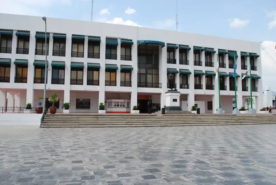
Nearby cities
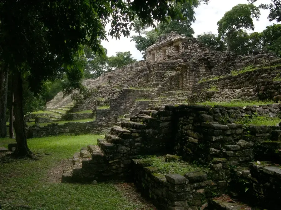
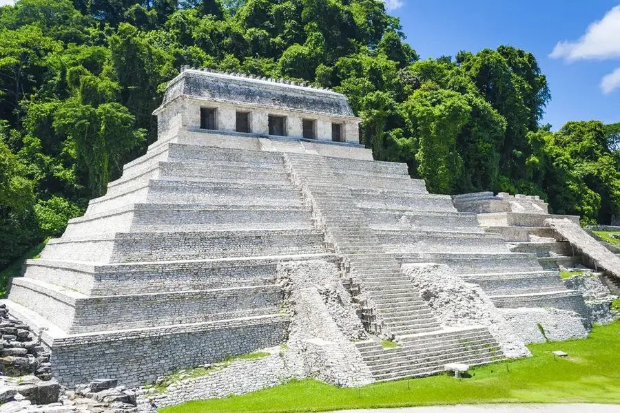
History & landmarks
Nature
More places