Plizio Visual Lab
Western Highlands
Weather…
Water temperature…
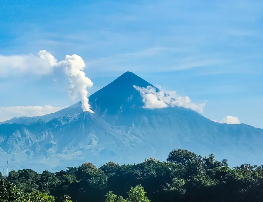
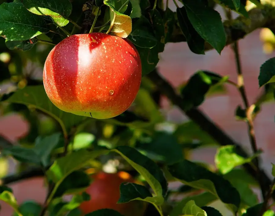
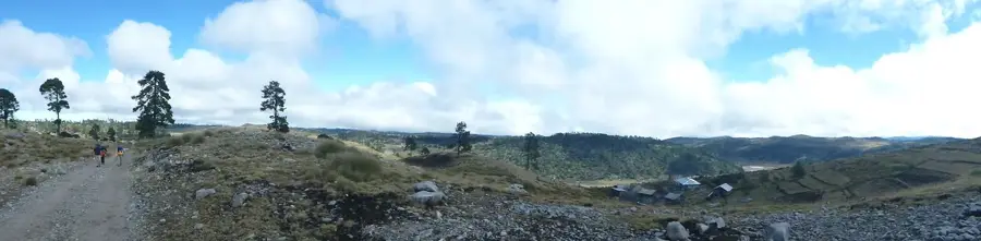
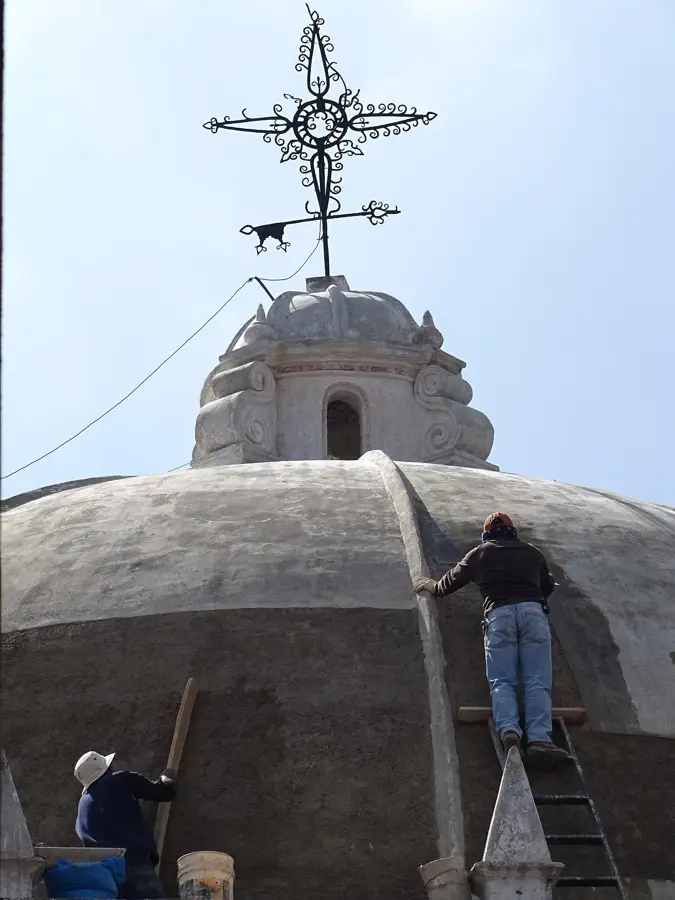
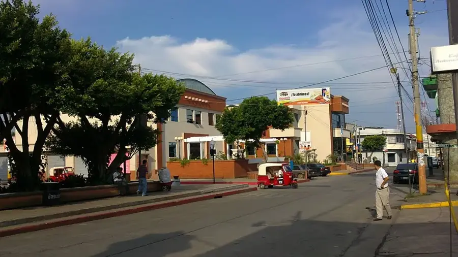
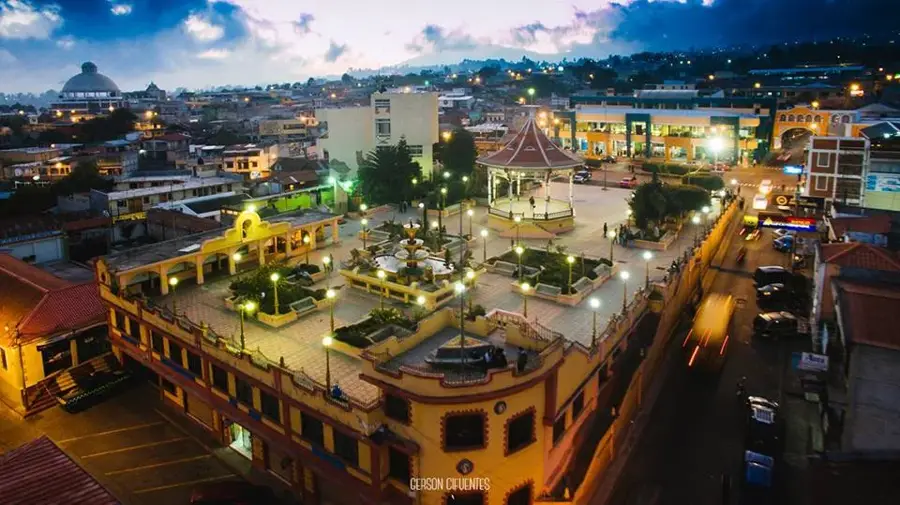
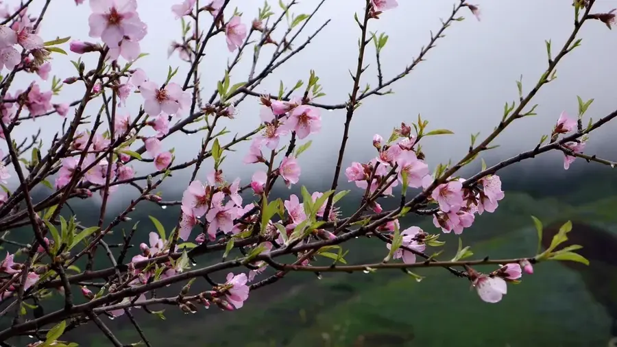
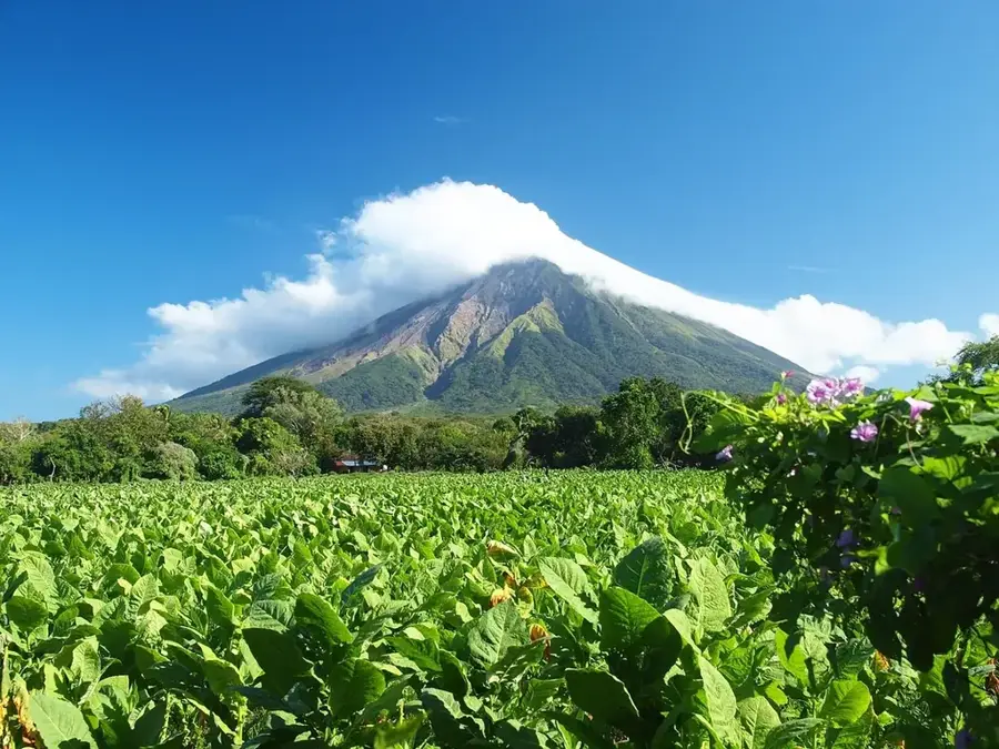
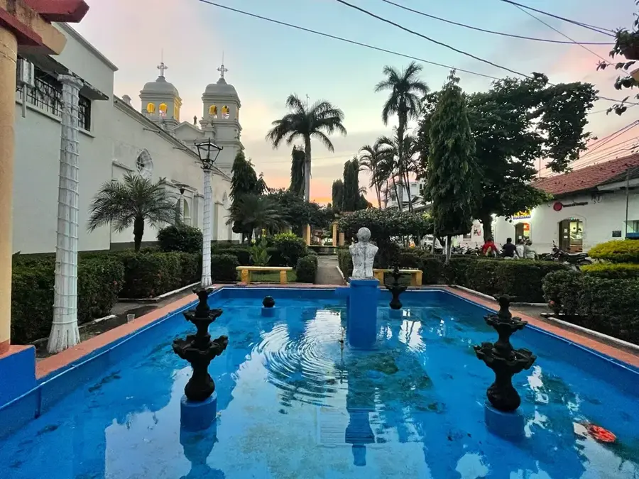
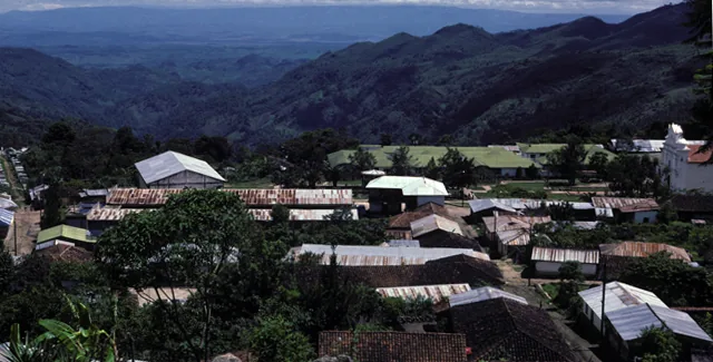
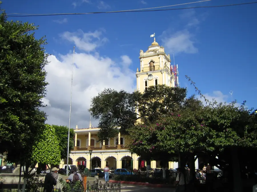
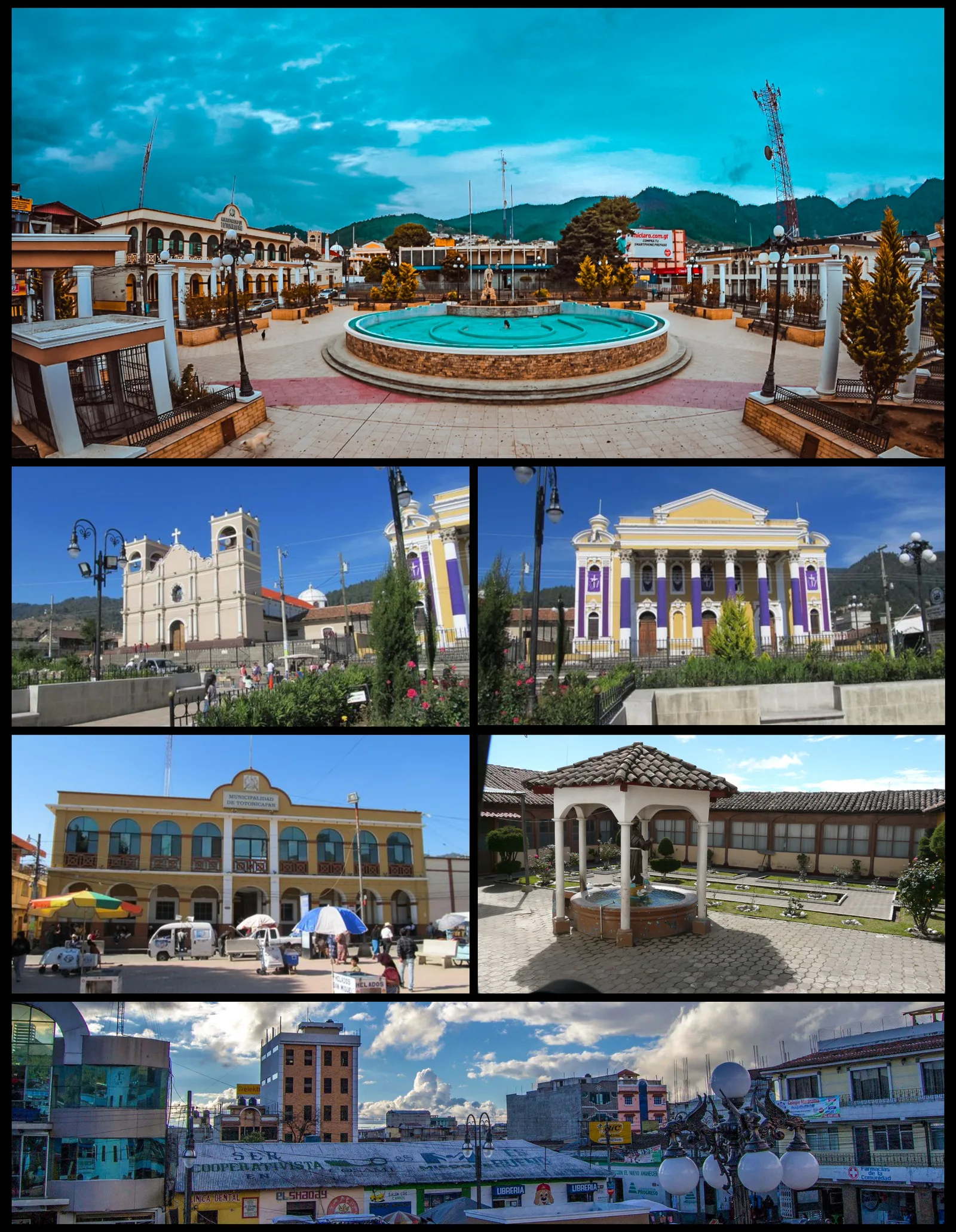
The Western Highlands of Guatemala, known as the Altiplano Occidental, is one of the most culturally and geographically diverse regions in Central America. It encompasses departments such as Quetzaltenango, Totonicapán, and Huehuetenango, characterized by volcanic mountain ranges and fertile plateaus. The region lies at an average elevation of 2,000 to 3,000 meters and is the heartland of modern Maya culture, particularly the K'iche', Mam, and Kaqchikel peoples. Geographically, the area is defined by dramatic landscapes with active volcanoes and deep valleys formed by tectonic uplifts. The economy is based on intensive terrace farming, producing grains, potatoes, and textiles. Historically, the Altiplano has been a center of resistance and the preservation of indigenous traditions, which is reflected today in its colorful markets and spirited customs.
- Location: Guatemala
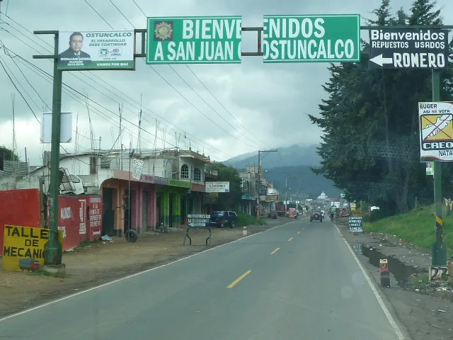
- Nearby: San Mateo Ixtatán (5 km)
Best time to visit & climate
The most pleasant time to visit is Feb–Apr.
| Jan | Feb | Mar | Apr | May | Jun | Jul | Aug | Sep | Oct | Nov | Dec | |
|---|---|---|---|---|---|---|---|---|---|---|---|---|
| Avg °C | 13 | 14 | 16 | 17 | 17 | 16 | 16 | 16 | 16 | 16 | 14 | 14 |
| Rain mm | 6 | 7 | 22 | 63 | 217 | 315 | 226 | 289 | 353 | 291 | 58 | 10 |
📋 Practical info
Geography
Facts
- Average elevation between 2,000 and 3,000 m
- Primary region for K'iche' and Mam Maya peoples
- Home to the highest peaks in Central America
- Key center for potato and wheat production
- The Pan-American Highway crosses the region
- Center of traditional textile weaving heritage
Explore nearby
Notable places around
Route planner — Car & Motorhome
Where do you start? We build the route here, with stops and country notes along the way.
© OpenStreetMap contributors · OpenRouteService
Sights in the town Western Highlands (1)
Sights nearby
Frequently asked questions
What does the Western Highlands cover?
What are the main attractions?
Is it safe for tourists there?
What languages are spoken there?
Is there handicrafts there?
Western Highlands: where is it located?
Western Highlands: when is the best time to visit?
Western Highlands: why is it worth visiting?

Nearby cities
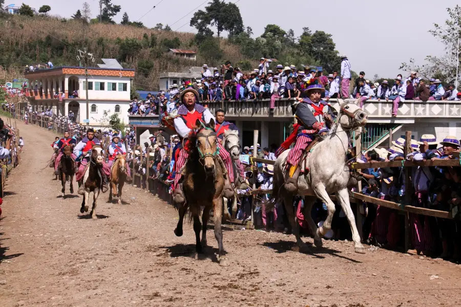
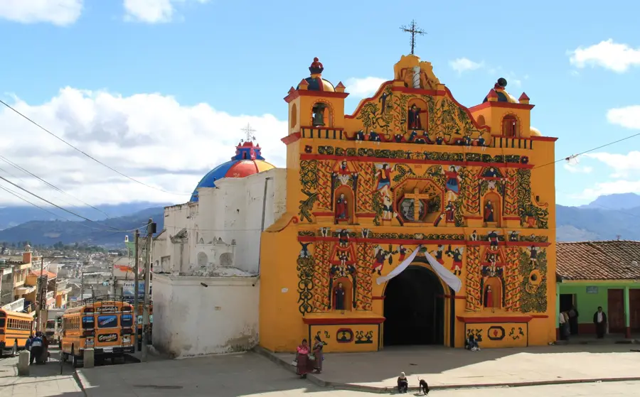
History & landmarks
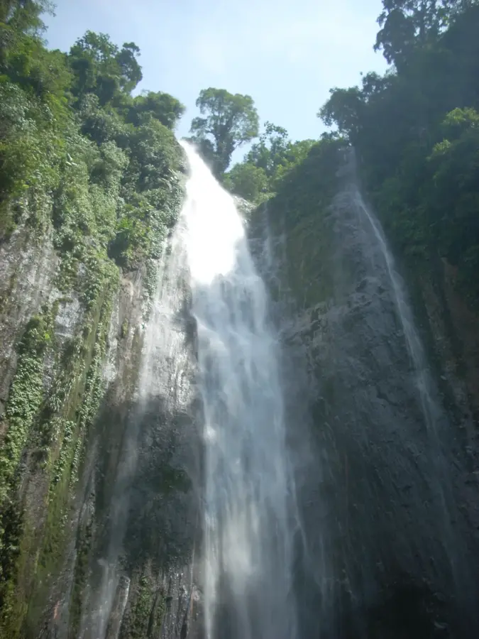
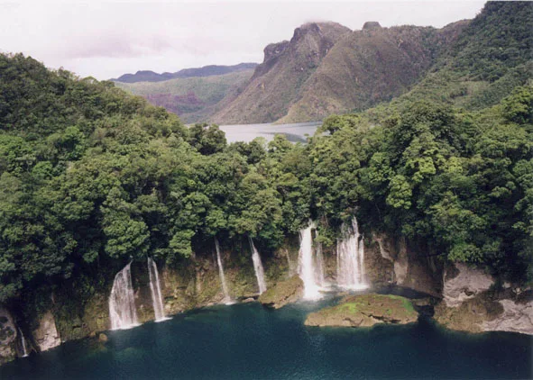
Nature
More places