Plizio Visual Lab
Malacatán
ℹ️Practical info — Malacatán
▾
🌤 Weather — 5 days
📍 Nearby
Sights nearby
💡 Tips
- This is a bustling and often chaotic border town; keep your valuables secure in crowded areas.
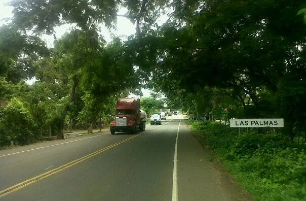
- If crossing into Mexico (El Carmen/Talisman), verify border closing times as they can change.
- There are money changers everywhere on the streets, but verify the exchange rate before swapping cash.
- The climate is sweltering; seek air-conditioned spots or shade during the mid-day hours.
🍽 Food
Due to the proximity to Mexico, taco stands here are abundant and delicious.
Refreshing seafood cocktail widely available in local coastal-style restaurants.
Grilled meats are very popular in the comedores near the commercial center.
🛍 Shopping · 🧘 Quiet spots
Packed with cheap clothing, shoes, and imported goods from both countries.
A bustling, authentic place to buy daily goods and fresh food.
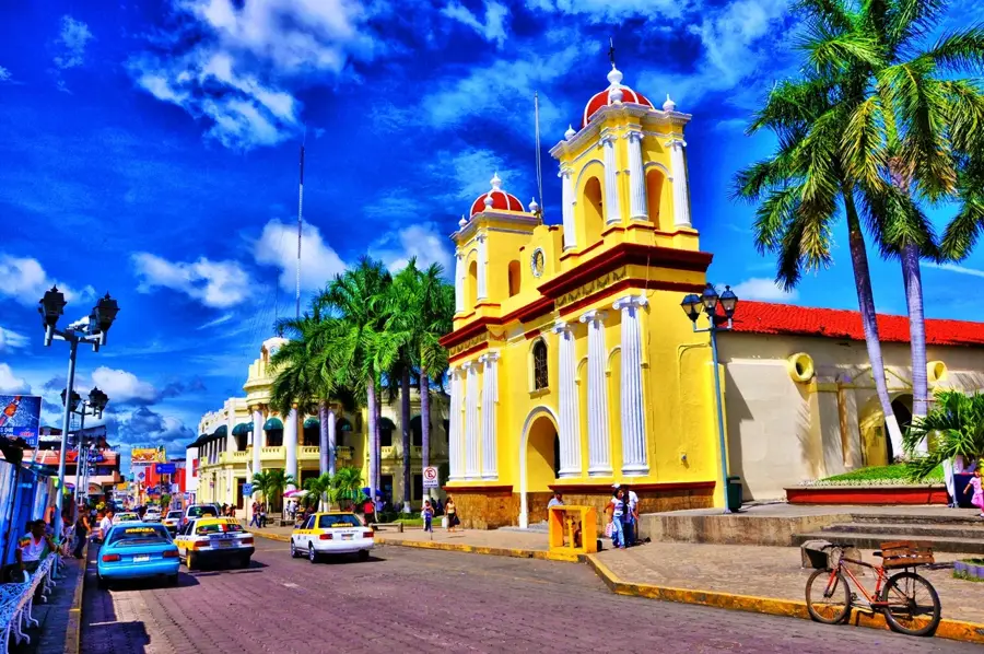
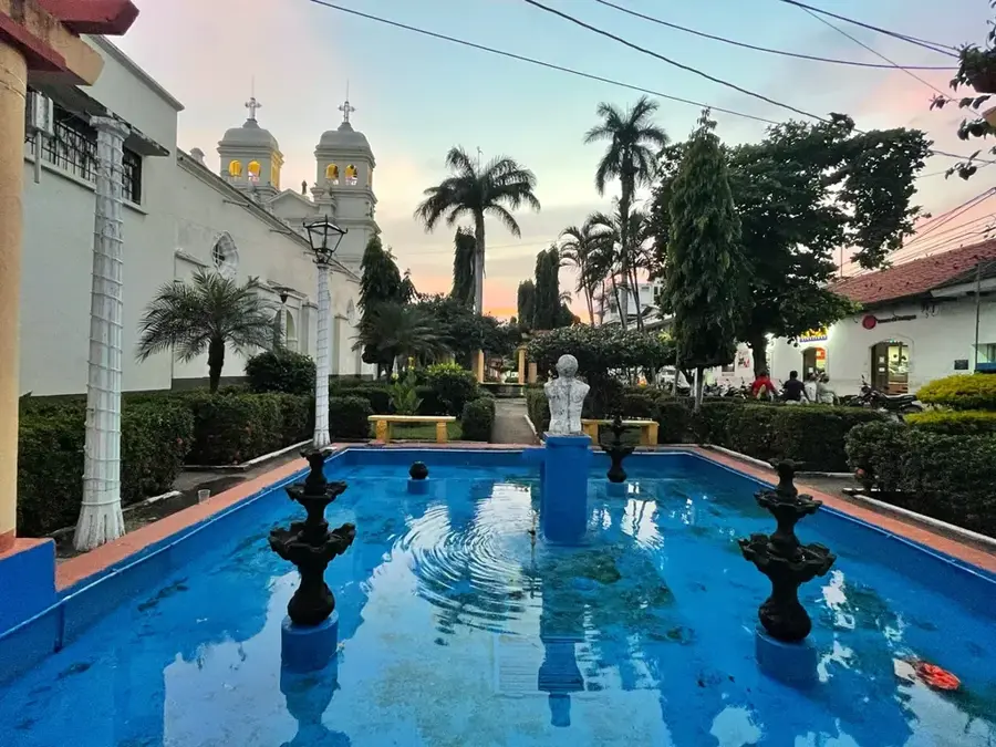
The interior of the central church provides a cool, quiet escape from the frantic streets.
Walk a few blocks away from the main highway for a more relaxed vibe.
Water temperature…
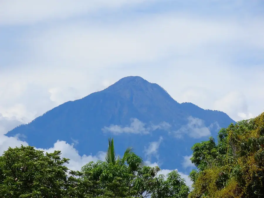
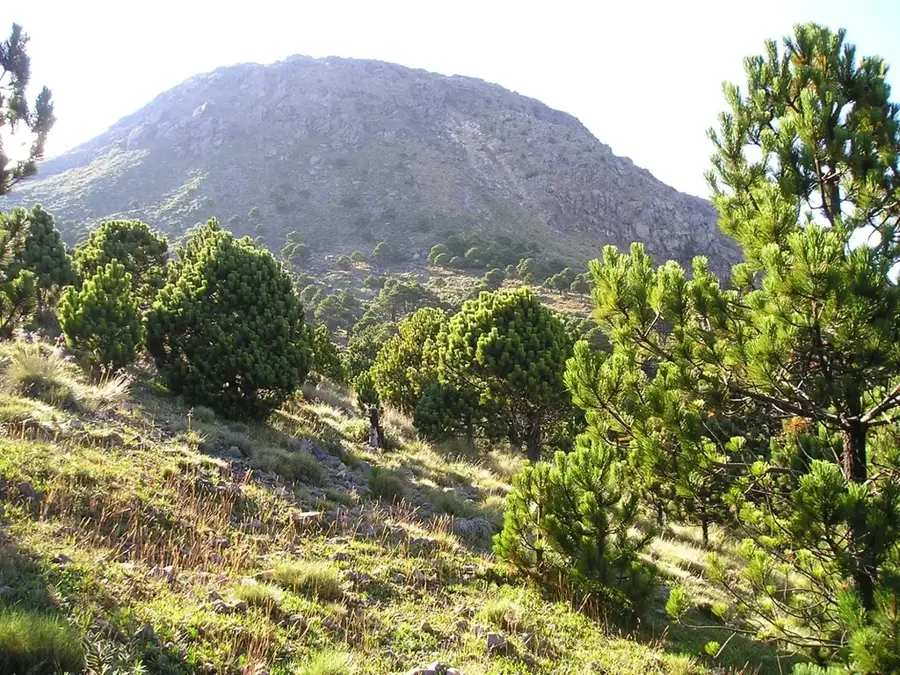
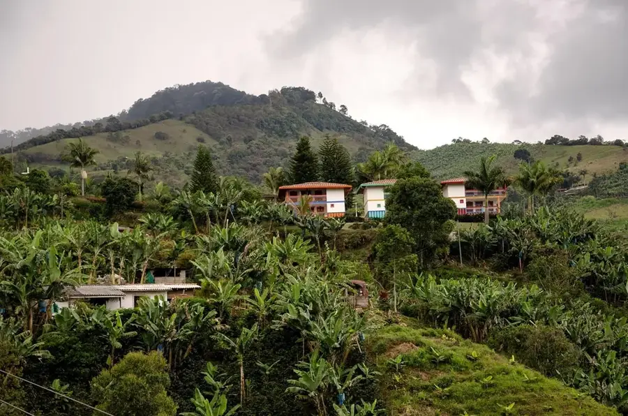
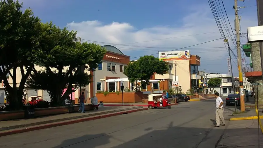
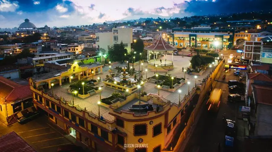
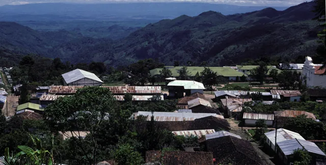
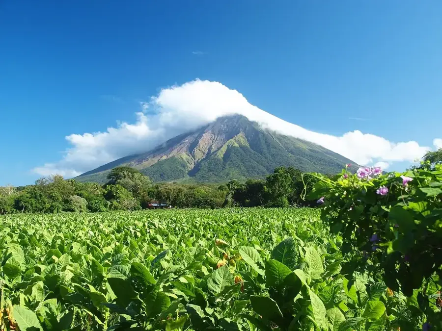
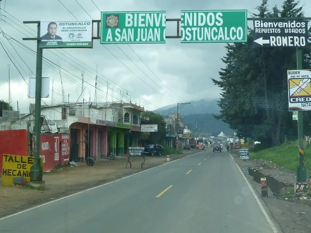
Malacatán is a dynamic border town in the San Marcos Department of southwestern Guatemala, located near the Mexican border. Due to its strategic position at the El Carmen border crossing, the town is a significant hub for cross-border trade and transportation between Central America and Mexico. Geographically, Malacatán lies in the foothills of the Sierra Madre at an altitude of approximately 390 meters, resulting in a humid, hot tropical climate. The surrounding region is extremely fertile and well-known for large-scale cultivation of coffee, cocoa, and bananas, as well as cattle ranching. The town's economy benefits massively from transit traffic and related services, making Malacatán one of the most economically active municipalities in the region. Despite modern commercial dynamics, the city maintains traditional markets where local agricultural products and handicrafts are traded. Cultural diversity is shaped by the mix of the local population and transient travelers, giving the city a busy and cosmopolitan atmosphere.
- Location: Guatemala
- Nearby: San Pablo (13 km)
- Population: ~92.816 (2023)
Best time to visit & climate
The most pleasant time to visit is Feb, Mar, Dec.
| Jan | Feb | Mar | Apr | May | Jun | Jul | Aug | Sep | Oct | Nov | Dec | |
|---|---|---|---|---|---|---|---|---|---|---|---|---|
| Avg °C | 17 | 18 | 19 | 20 | 20 | 19 | 19 | 19 | 19 | 19 | 18 | 17 |
| Rain mm | 5 | 7 | 25 | 71 | 248 | 332 | 247 | 308 | 380 | 313 | 68 | 10 |
Geography
Facts
- Malacatán is situated at an elevation of 390 meters above sea level.
- The El Carmen border crossing connects Malacatán with Talismán in Mexico.
- The town was elevated to an independent municipality on September 22, 1896.
- Coffee and cocoa are the most important agricultural products of the area.
- The name Malacatán originates from Nahuatl, meaning 'place of spindles.'
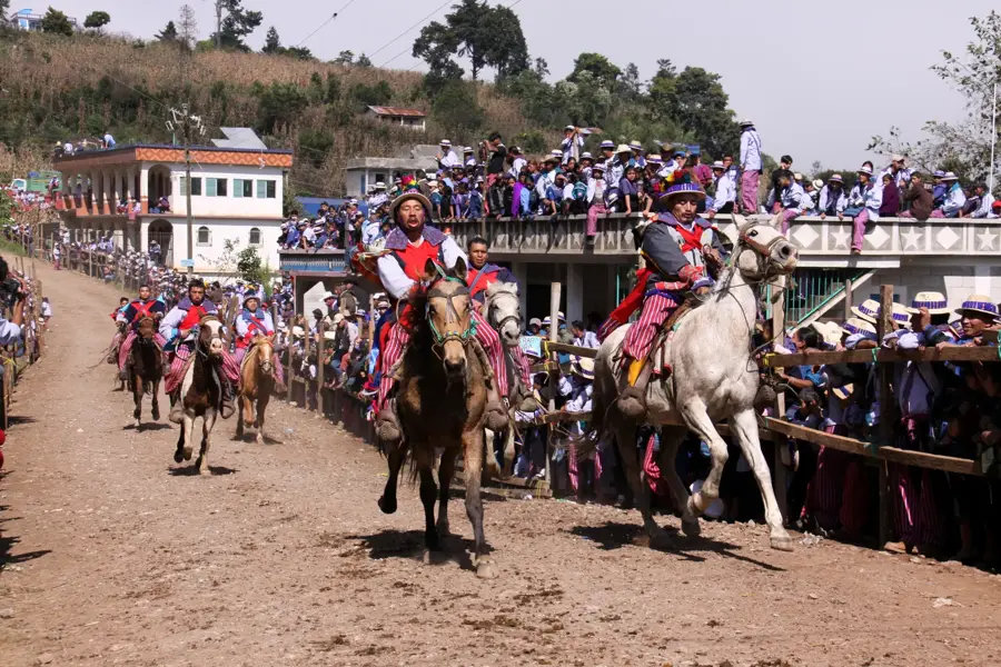
- The annual fair takes place in December in honor of the Immaculate Conception.
Explore nearby
Notable places around
Route planner — Car & Motorhome
Where do you start? We build the route here, with stops and country notes along the way.
© OpenStreetMap contributors · OpenRouteService
Sights in the town Malacatán (1)
Frequently asked questions
Why is Malacatán important?
How far is the border?
What is the region's main product?
What is the climate like?
Is it worth visiting for tourists?
Malacatán: where is it located?
Malacatán: when is the best time to visit?
Malacatán: why is it worth visiting?

Nearby cities
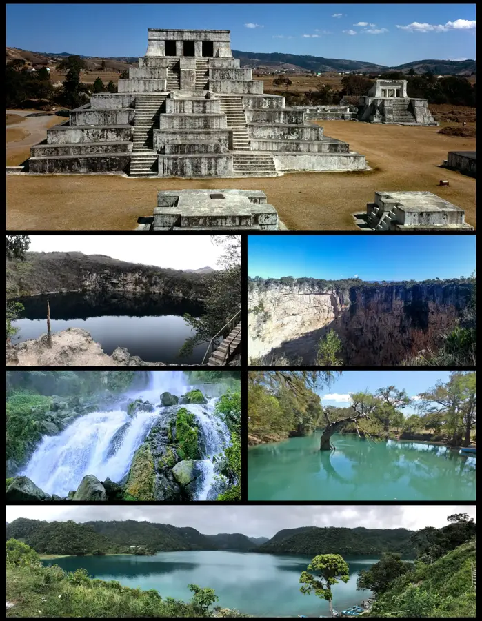

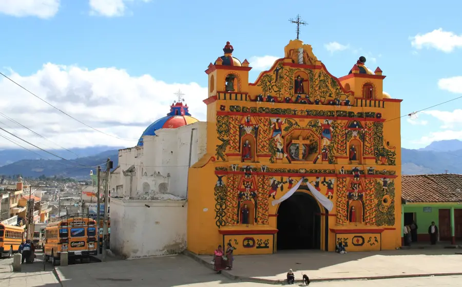
History & landmarks
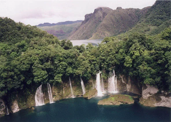
Nature
More places