Plizio Visual Lab
Iximche
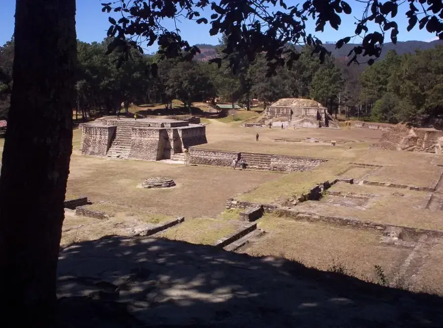
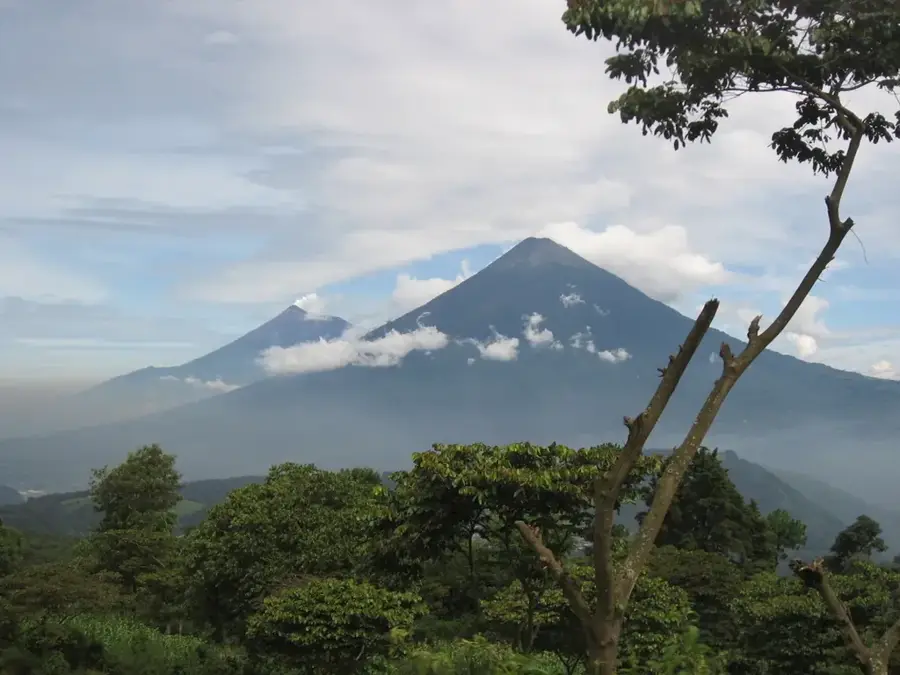
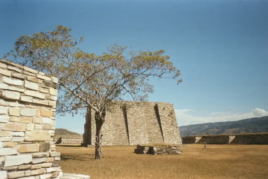
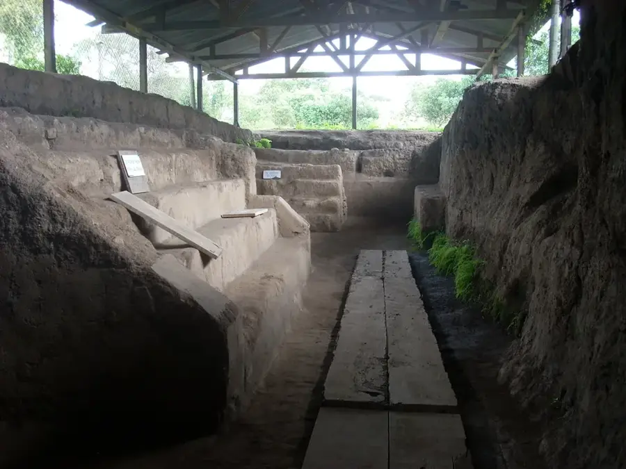
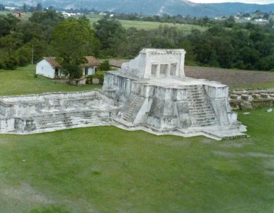
Iximché was the fortified capital of the Kaqchikel Maya kingdom during the late Postclassic period, located on a strategic plateau in the Chimaltenango department. Founded around 1470 following a rift with the K’iche’ Maya, the city was naturally defended by deep ravines on three sides. Its architecture includes ceremonial plazas, pyramid-temples, noble palaces, and two ball courts, reflecting the political and religious significance of the Kaqchikel state. In 1524, Spanish conquistadors led by Pedro de Alvarado arrived, and Iximché was declared the first capital of the Kingdom of Guatemala. However, the alliance soon soured, and the Kaqchikel abandoned the city to wage a years-long guerrilla war against the invaders, leading to the city's eventual burning. Today, Iximché is a major archaeological site and remains a deeply spiritual place for modern Maya communities. Indigenous priests frequently conduct traditional rituals and fire ceremonies at its ancient altars, demonstrating the enduring resilience and continuity of Maya spiritual practices.
- Location: Guatemala
- Nearby: Chajul (4 km)
Best time to visit & climate
The most pleasant time to visit is Jan, Feb, Dec.
| Jan | Feb | Mar | Apr | May | Jun | Jul | Aug | Sep | Oct | Nov | Dec | |
|---|---|---|---|---|---|---|---|---|---|---|---|---|
| Avg °C | 21 | 22 | 23 | 24 | 24 | 23 | 23 | 23 | 22 | 22 | 21 | 21 |
| Rain mm | 4 | 6 | 18 | 64 | 231 | 317 | 234 | 292 | 346 | 302 | 61 | 8 |
📋 Practical info
History & landmarks
1470
Geography
Facts
- Established around 1470 as the capital of the Kaqchikel Maya
- Designated as the first Spanish capital of Guatemala in 1524
- Situated on a high plateau naturally defended by deep ravines
- Consists of four ceremonial plazas and two ancient ball courts
- Burned by the Spanish in 1526 following a massive indigenous revolt
- A significant site for ongoing traditional Maya fire ceremonies
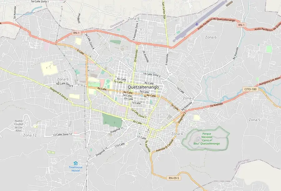
Explore nearby
Notable places around
Route planner — Car & Motorhome
Where do you start? We build the route here, with stops and country notes along the way.
© OpenStreetMap contributors · OpenRouteService
Sights nearby
Frequently asked questions
What was Iximché in the past?
What are the opening hours?
Can you see Maya rituals there?
Is there an on-site museum?
How much is the entrance fee?
Iximche: where is it located?
Iximche: when is the best time to visit?
Iximche: why is it worth visiting?

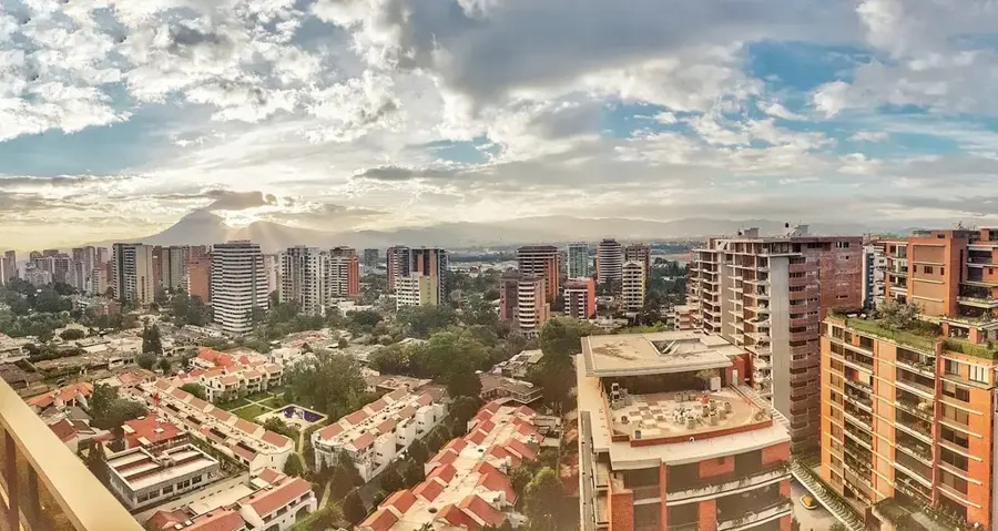
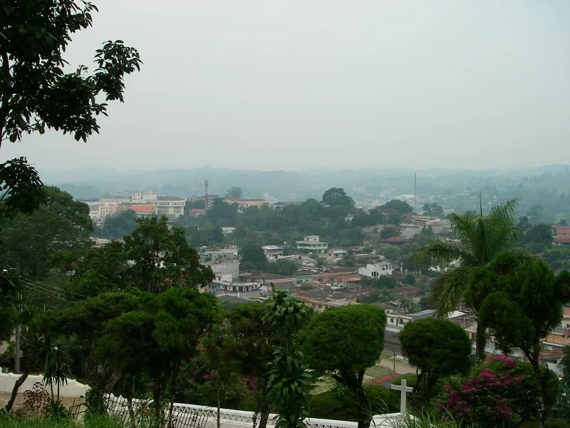
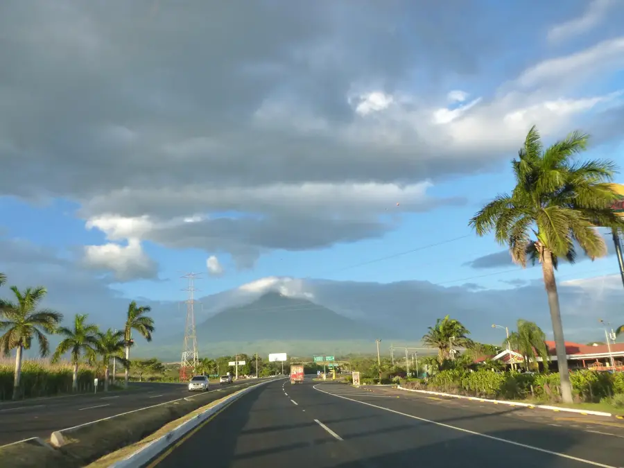
Nearby cities

History & landmarks

Nature
More places