Plizio Visual Lab
San Pablo
ℹ️Practical info — San Pablo
▾
🌤 Weather — 5 days
📍 Nearby
Sights nearby
💡 Tips
- Situated at a lower altitude than the departmental capital, expect a warmer, more tropical climate.
- It's a predominantly agricultural area; take time to explore the surrounding coffee and cardamom plantations.
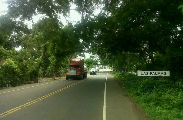
- Local transport is mainly by pick-up trucks (picops) or tuk-tuks; hold on tight when riding in the back of a truck!
- Market days are the best time to see the animated exchange of goods between highland and lowland communities.
- Keep insect repellent handy due to the tropical environment.
🍽 Food
Fried fish, often locally sourced, served with lime and tortillas in local diners.
Enjoy fresh mangoes, papayas, and bananas straight from the local market.
Seafood soup, a popular dish in this warmer, lower-altitude region.
🛍 Shopping · 🧘 Quiet spots
Buy coffee directly from local producers or the town market.
The region produces high-quality cardamom; it makes for a great lightweight souvenir.
Ask locals for safe paths along the nearby rivers for a peaceful afternoon.
Many local farms offer a quiet retreat into nature.
Water temperature…
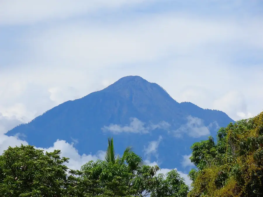
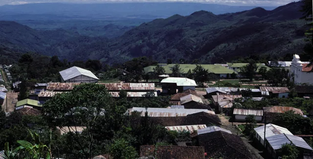
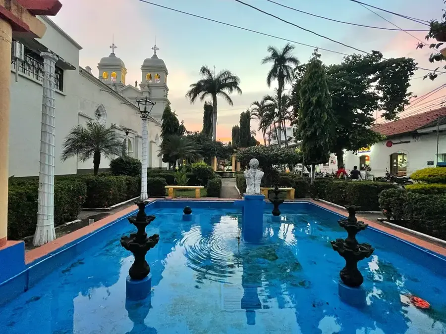
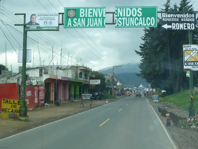
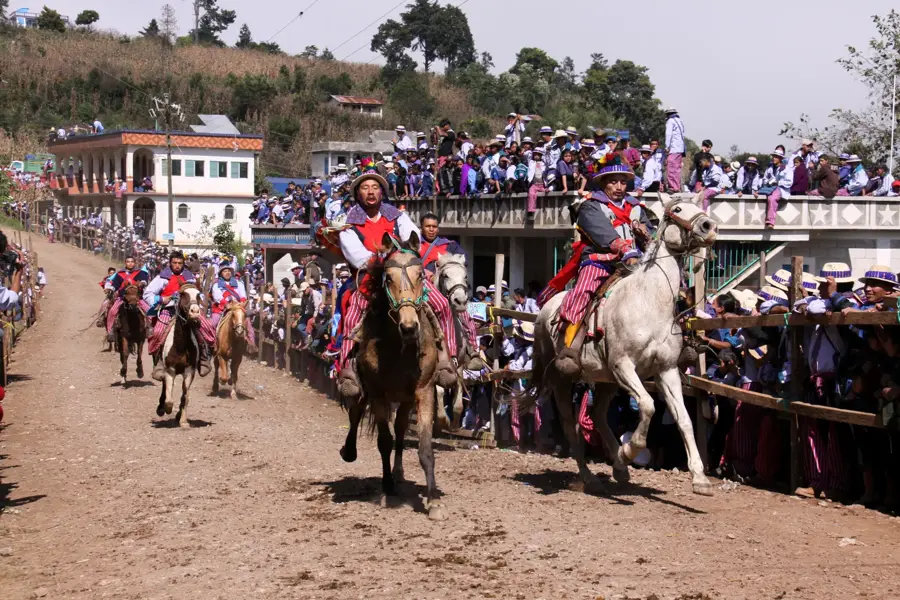
San Pablo is a significant municipality in the San Marcos Department, strategically located between the Guatemalan highlands and the Pacific coastal plains. Officially established on August 22, 1880, the town has evolved into a vital agricultural hub for the surrounding region. Situated at an average elevation of approximately 600 meters above sea level, the area possesses a convenient climate for cultivating export crops such as coffee, bananas, and cocoa. Historically, San Pablo was part of the economically prosperous Costa Cuca zone, which experienced rapid development during the coffee boom of the late 19th century. The town's social fabric is a blend of indigenous traditions and the influences of the plantation economy that defined its growth. In modern times, the municipality serves as an essential link for commercial transit toward the Mexican border. Every January, the local population celebrates its patronal feast in honor of Saint Paul the Apostle, featuring traditional dances and religious processions.
- Location: Guatemala
- Nearby: La Libertad (Huehuetenango) (5 km)
- Population: ~13.668 (2018)
Best time to visit & climate
The most pleasant time to visit is Feb, Mar, Dec.
| Jan | Feb | Mar | Apr | May | Jun | Jul | Aug | Sep | Oct | Nov | Dec | |
|---|---|---|---|---|---|---|---|---|---|---|---|---|
| Avg °C | 17 | 18 | 19 | 20 | 20 | 19 | 19 | 19 | 19 | 19 | 18 | 17 |
| Rain mm | 5 | 7 | 25 | 71 | 248 | 332 | 247 | 308 | 380 | 313 | 68 | 10 |
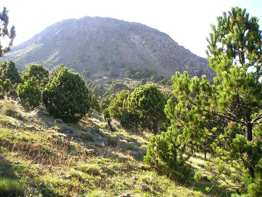
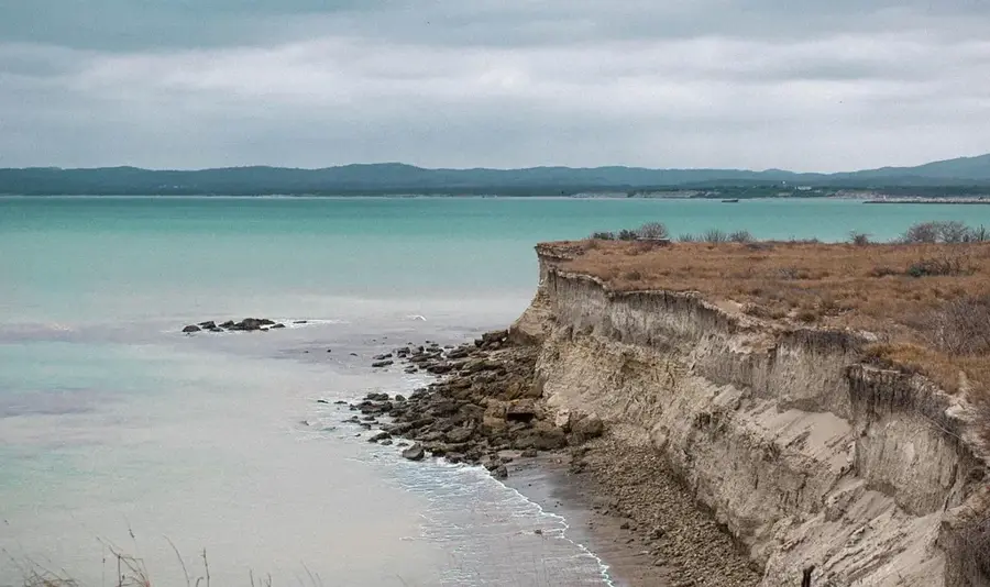
Geography
Facts
- San Pablo was officially established as a municipality on August 22, 1880.
- The town is situated at an elevation of approximately 600 meters.
- The patronal festival is celebrated annually from January 22 to 26.
- Coffee and cocoa exports form the backbone of the local economy.
- The municipality is located within the San Marcos Department.
- Historically, it was a prominent part of the fertile Costa Cuca region.
Explore nearby
Notable places around
Route planner — Car & Motorhome
Where do you start? We build the route here, with stops and country notes along the way.
© OpenStreetMap contributors · OpenRouteService
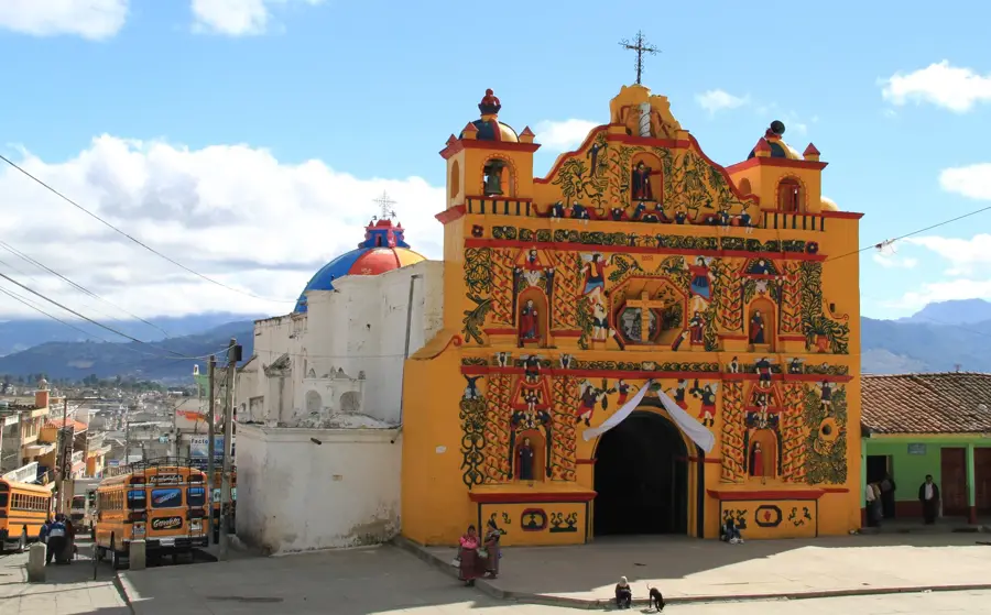
Sights in the town San Pablo (1)
Frequently asked questions
What is San Pablo known for?
What is the landscape like?
When is the harvest season?
Is it cool there?
Can you visit plantations?
San Pablo: where is it located?
San Pablo: when is the best time to visit?
San Pablo: why is it worth visiting?

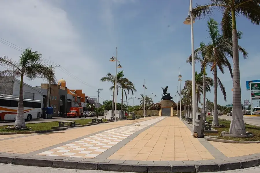
Nearby cities
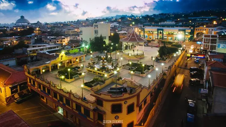
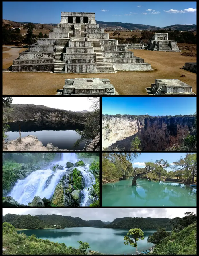
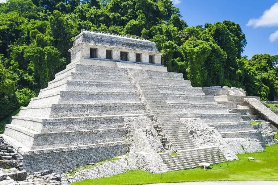
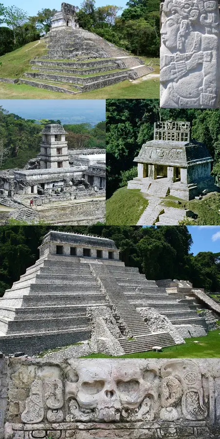
History & landmarks
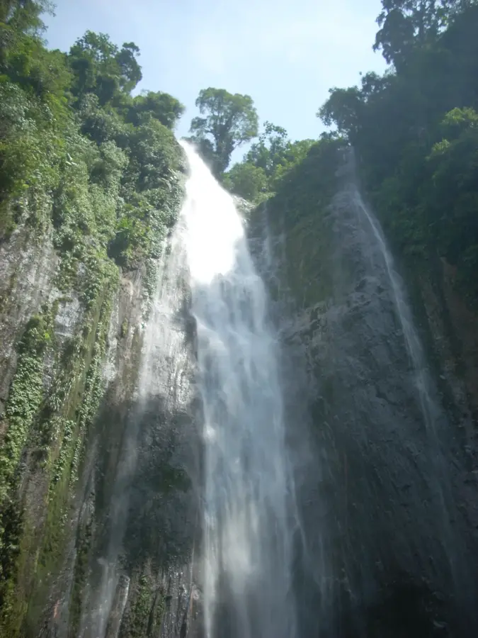
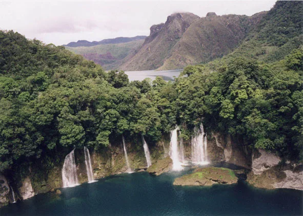
Nature
More places