Plizio Visual Lab
Doyle's Delight
Weather…
Water temperature…
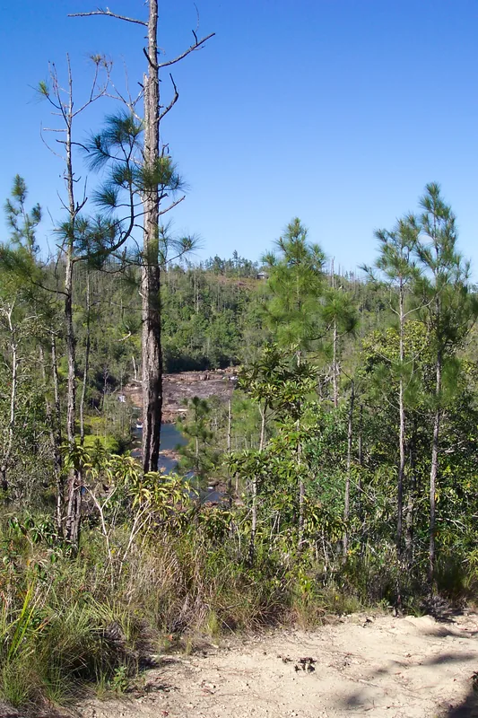
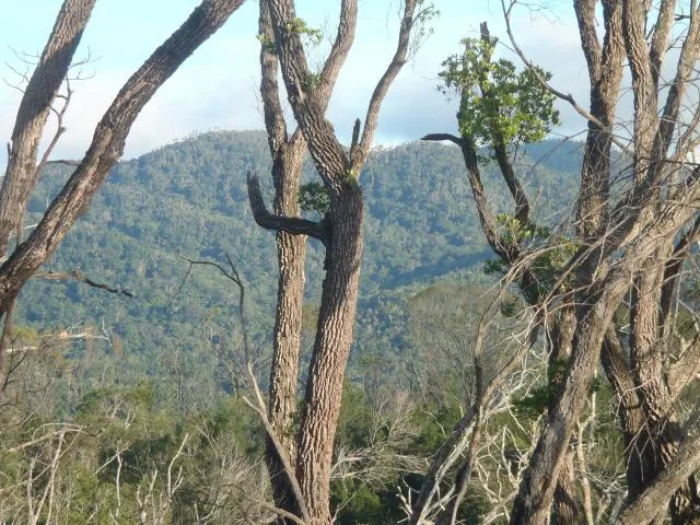
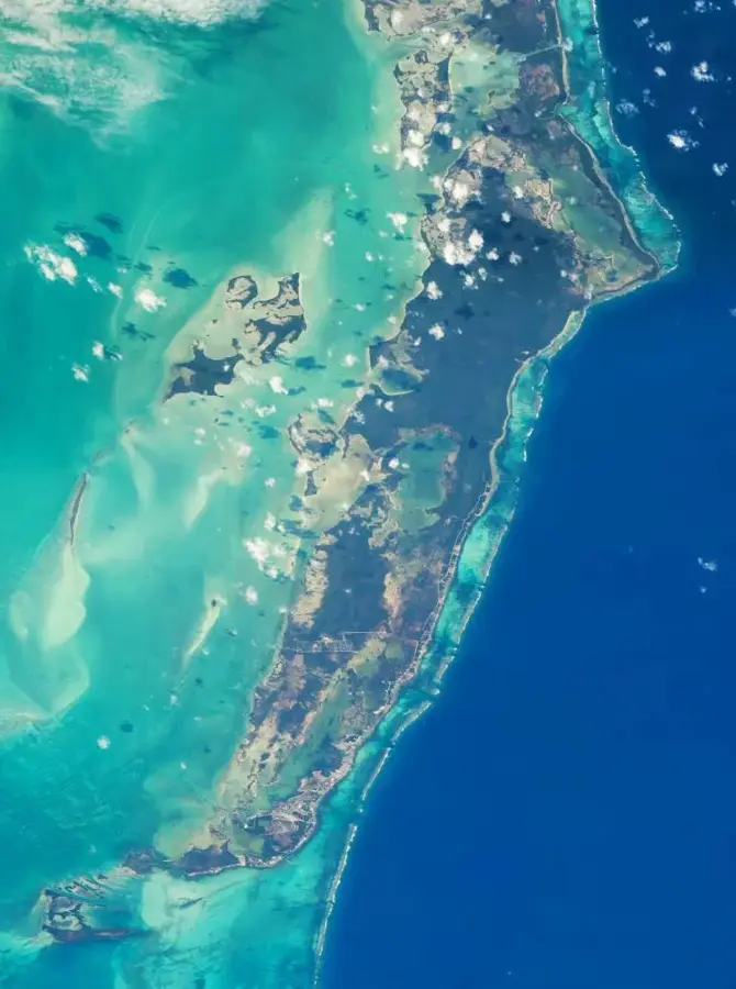
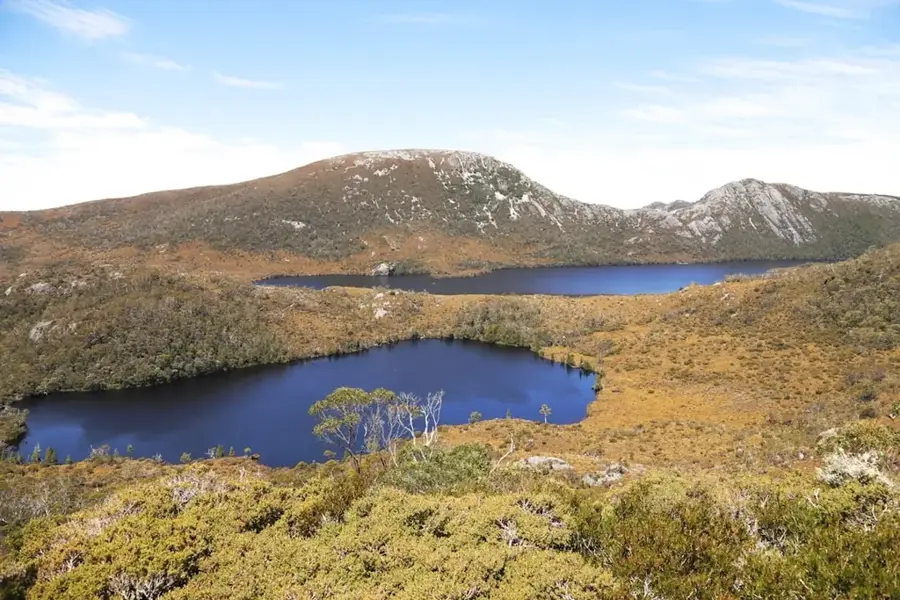
Doyle's Delight is the highest peak in Belize, standing at an elevation of 1,124 meters above sea level within the Maya Mountains. Located in the Cockscomb Range, this peak marks the geographical summit of the nation and was only officially surveyed and named in 1989. The name is a direct tribute to Sir Arthur Conan Doyle, author of 'The Lost World', emphasizing the remote and prehistoric feel of the high-altitude rainforest. Geologically, the area is characterized by Paleozoic sedimentary rocks and granite intrusions that have been uplifted over millions of years. Due to its extreme remoteness and lack of established trails, the summit remains one of the most pristine wilderness areas in Central America. Accessing the peak requires a rigorous multi-day expedition through dense tropical vegetation and rugged terrain. Its ecological significance lies in its status as a high-elevation refugium for rare biodiversity and endemic species that are absent from the surrounding lowlands.
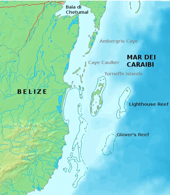
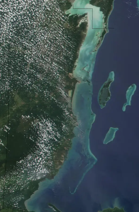
- Location: Belize
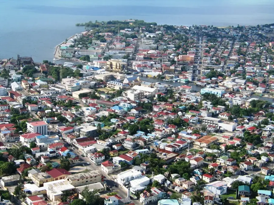
- Nearby: San Ignacio (4 km)
Best time to visit & climate
The most pleasant time to visit is Feb–Apr.
| Jan | Feb | Mar | Apr | May | Jun | Jul | Aug | Sep | Oct | Nov | Dec | |
|---|---|---|---|---|---|---|---|---|---|---|---|---|
| Avg °C | 23 | 24 | 25 | 27 | 28 | 27 | 26 | 27 | 27 | 26 | 24 | 23 |
| Rain mm | 121 | 82 | 68 | 48 | 130 | 240 | 191 | 205 | 237 | 252 | 217 | 143 |
📋 Practical info
Geography
Facts
- Elevation of 1,124 meters above sea level.
- Situated within the Cockscomb Range of the Maya Mountains.
- Named in 1989 after the author of 'The Lost World'.
- The first recorded ascent took place in the early 1970s.
- Replaced Victoria Peak as the country's highest point after surveys.
- The peak is surrounded by primary tropical broadleaf forest.
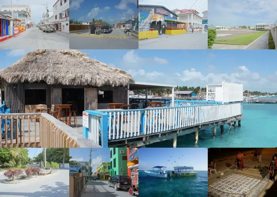
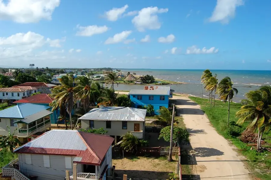
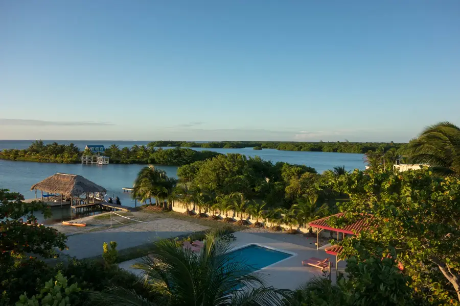
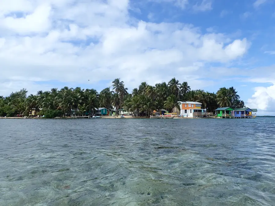
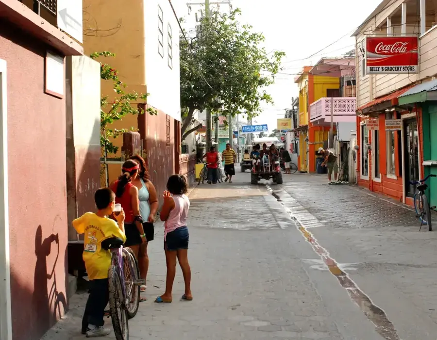
Explore nearby
Notable places around
Route planner — Car & Motorhome
Where do you start? We build the route here, with stops and country notes along the way.
© OpenStreetMap contributors · OpenRouteService
Sights nearby
Frequently asked questions
How high is Doyle's Delight?
Is the summit easy to reach?
Do you need a guide?
What should you bring?
When is the best time to climb?
Doyle's Delight: where is it located?
Doyle's Delight: when is the best time to visit?
Doyle's Delight: why is it worth visiting?

Nearby cities
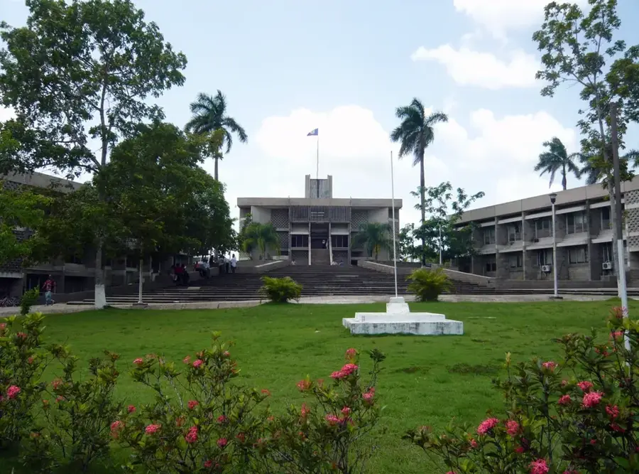
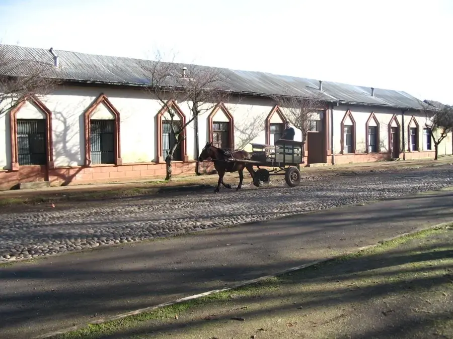

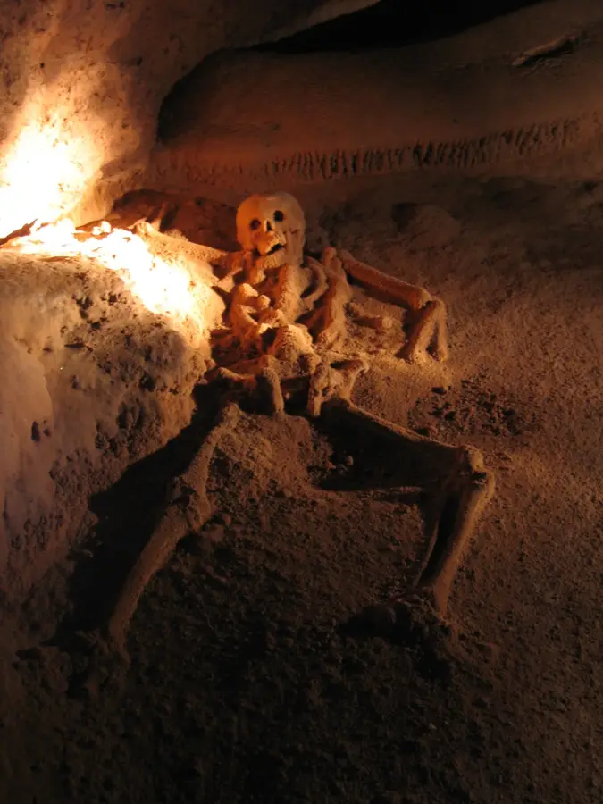
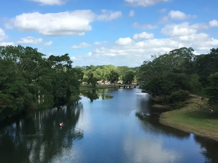
History & landmarks
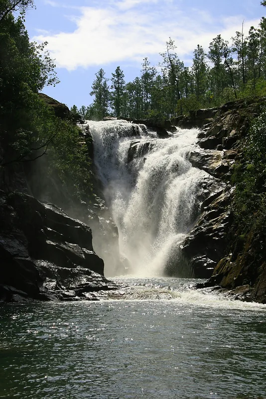
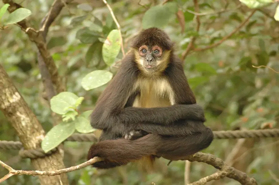
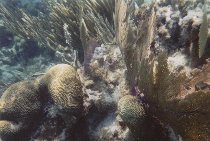
Nature
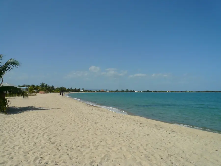
More places