Plizio Visual Lab
Mountain Pine Ridge Forest
Weather…
Water temperature…
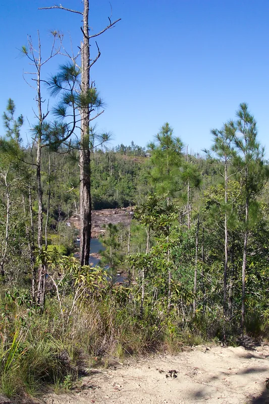
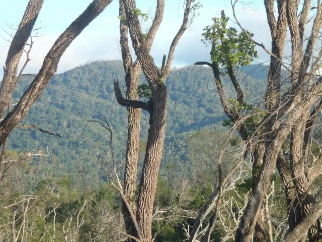
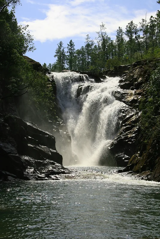
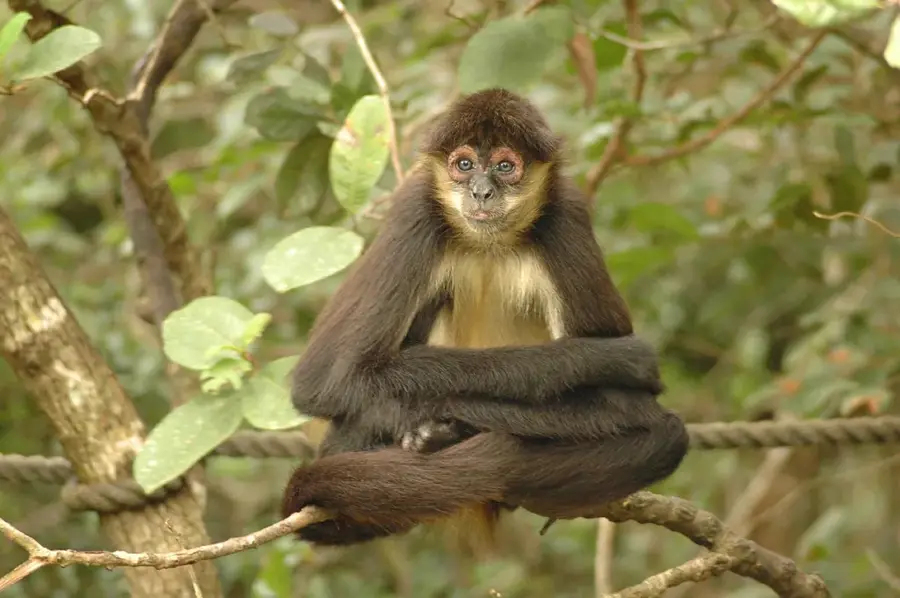
The Mountain Pine Ridge Forest Reserve is the oldest and largest protected area in Belize, spanning approximately 430 square kilometers within the Cayo District. Established in 1944, it presents a striking ecological contrast to the rest of the country, as its landscape is dominated by Caribbean pine (Pinus caribaea) instead of tropical broadleaf rainforest. The reserve is situated on a massive granite massif that dates back to the Precambrian era, making it one of the oldest geological formations in Central America. This elevated plateau is famous for its dramatic hydrological features, including Big Rock Falls and the 1000 Foot Falls, the latter being one of the highest waterfalls in the region. Beyond its aesthetic appeal, the reserve provides critical nesting grounds for the rare Orange-breasted Falcon and other specialized avian species. In recent years, the forest has undergone significant recovery after a major southern pine beetle infestation in the late 1990s. The region's cooler climate, nutrient-poor sandy soils, and unique fire-climax ecosystem make it a vital area for ecological study and conservation.
- Location: Belize
- Nearby: Georgeville (4 km)
Best time to visit & climate
The most pleasant time to visit is Jan–Mar.
| Jan | Feb | Mar | Apr | May | Jun | Jul | Aug | Sep | Oct | Nov | Dec | |
|---|---|---|---|---|---|---|---|---|---|---|---|---|
| Avg °C | 21 | 22 | 24 | 26 | 26 | 25 | 25 | 25 | 25 | 24 | 22 | 22 |
| Rain mm | 110 | 66 | 58 | 40 | 127 | 240 | 175 | 197 | 225 | 251 | 200 | 137 |
📋 Practical info
Geography
Facts
- Established as a forest reserve in 1944.
- Covers roughly 106,000 acres (430 square kilometers).
- The underlying granite is hundreds of millions of years old.
- Contains 1000 Foot Falls, often cited as Central America's tallest.
- A primary habitat for the endangered Orange-breasted Falcon.
- Landscape is dominated by Pinus caribaea var. hondurensis.
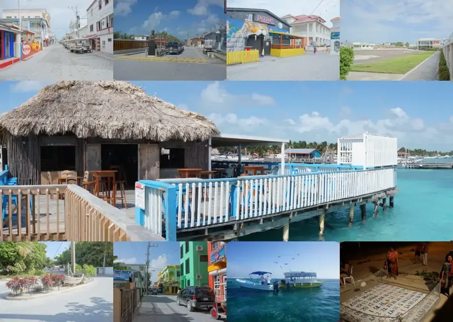
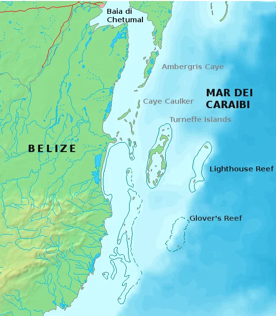
Explore nearby
Notable places around
Route planner — Car & Motorhome
Where do you start? We build the route here, with stops and country notes along the way.
© OpenStreetMap contributors · OpenRouteService
Sights nearby
Frequently asked questions
What is special about Pine Ridge?
Which waterfalls should I see?
Are the roads good?
Is there an entrance fee?
Can you stay overnight?
Mountain Pine Ridge Forest: where is it located?
Mountain Pine Ridge Forest: when is the best time to visit?
Mountain Pine Ridge Forest: why is it worth visiting?

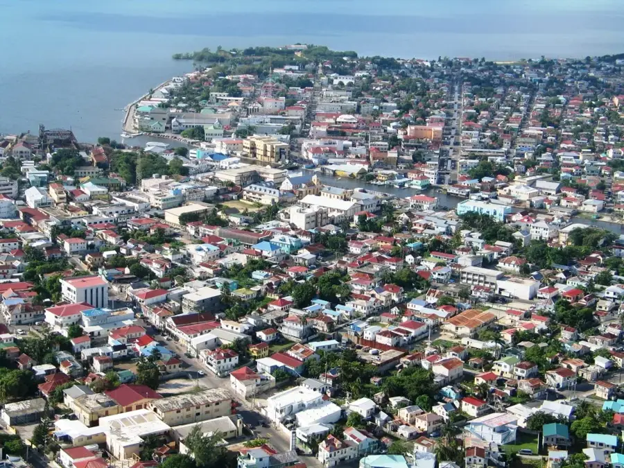
Nearby cities

History & landmarks

Nature
More places