Plizio Visual Lab
Macal River
Weather…
Water temperature…
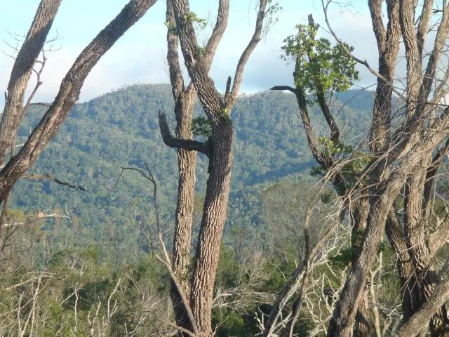
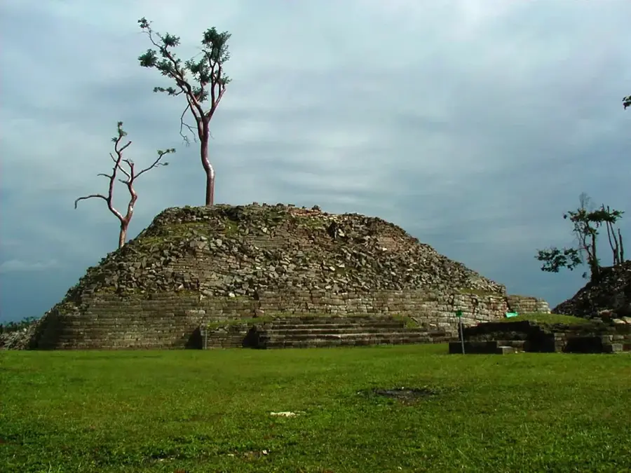
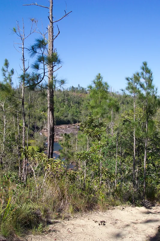
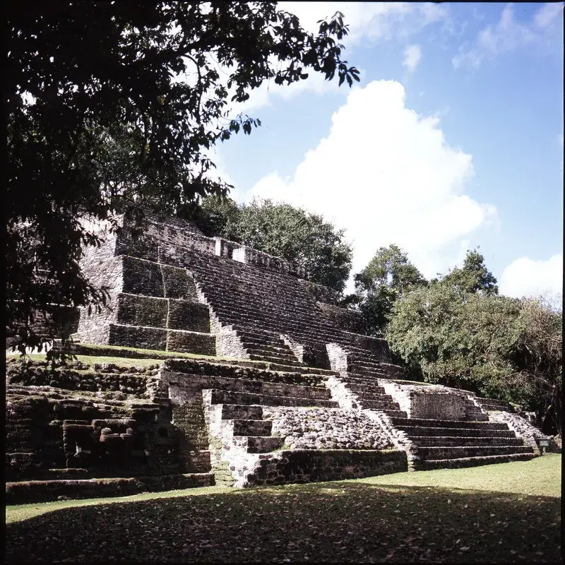
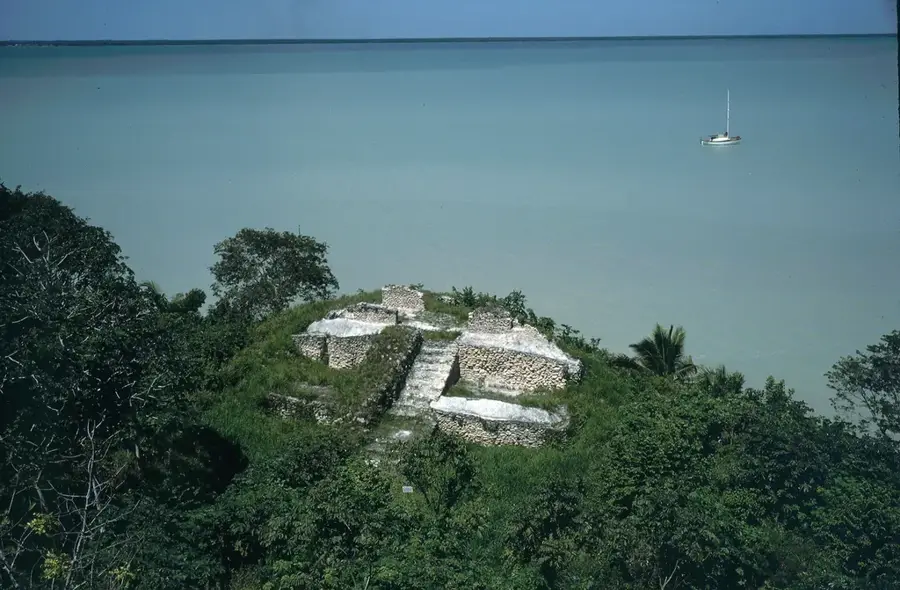
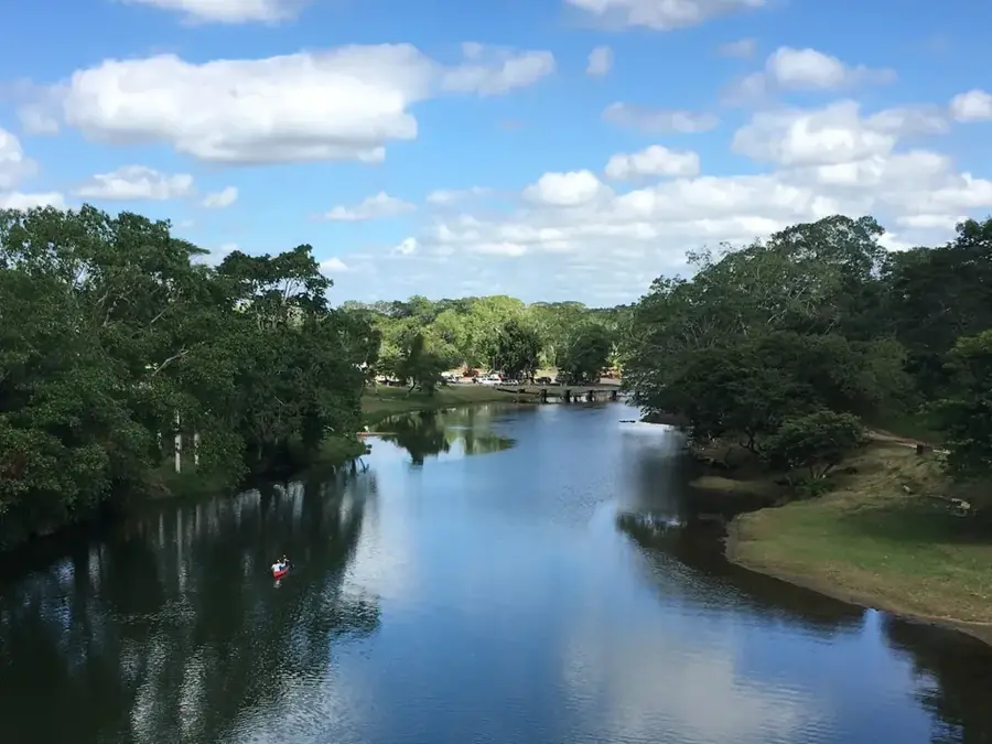
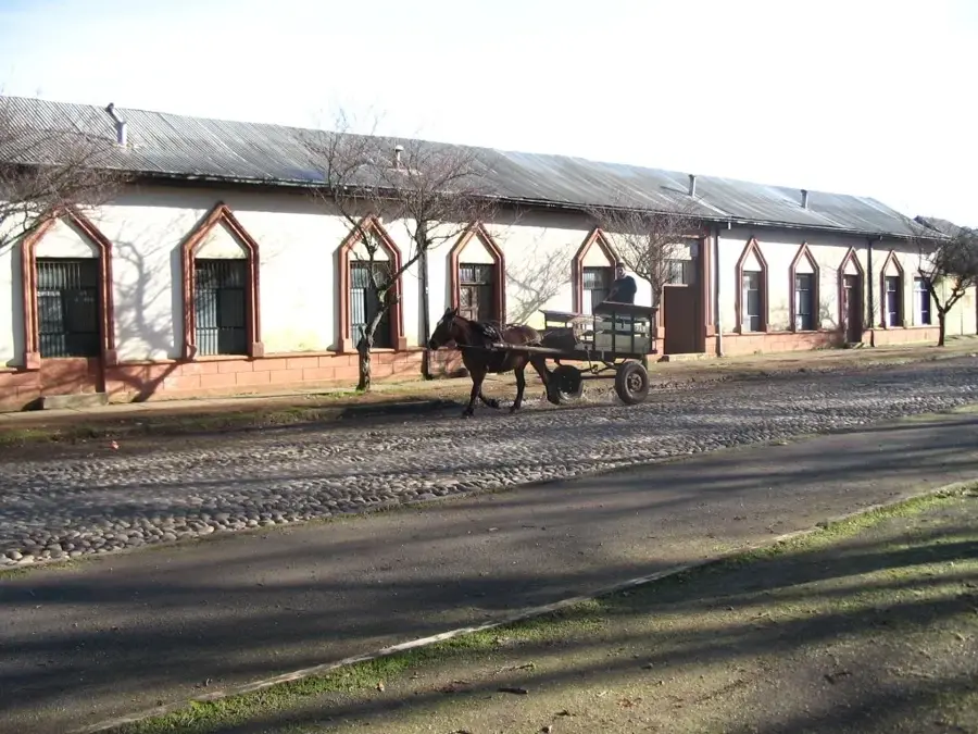
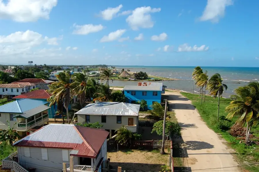
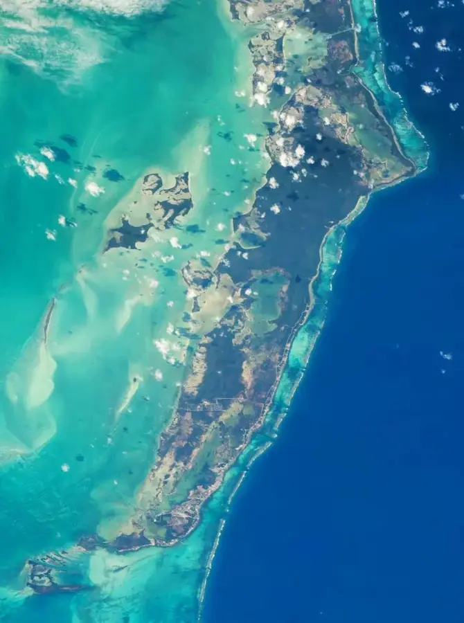
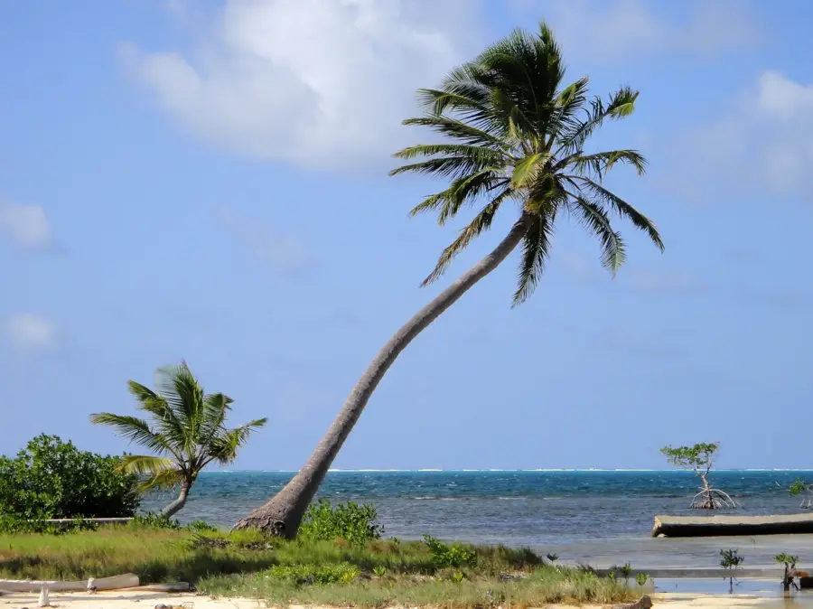
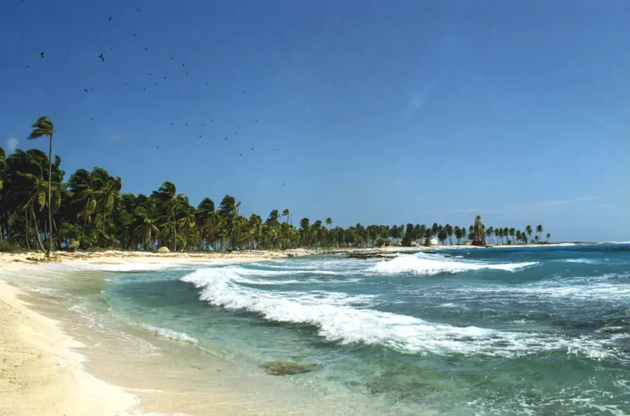
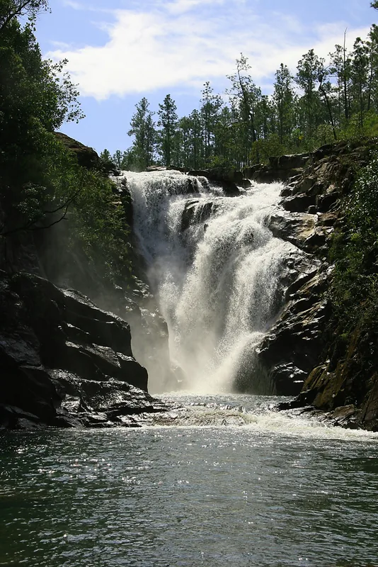
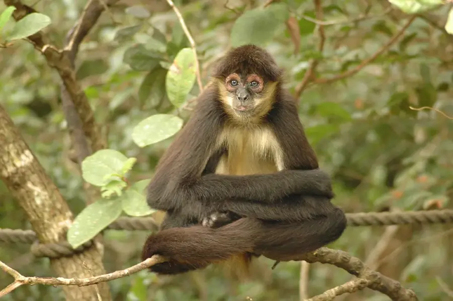
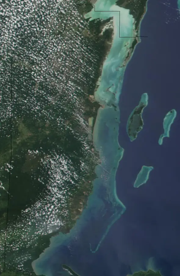
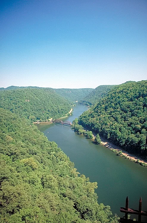
The Macal River is a vital waterway in western Belize, originating in the Maya Mountains and flowing through the Cayo District to sustain the region's ecology and economy. It flows northward for several dozen kilometers before reaching the town of San Ignacio, where it joins the Mopan River at Branch Mouth to form the Belize River. Historically, the river served as a major transportation artery for the ancient Maya, facilitating the trade of resources such as timber, minerals, and agricultural goods. In the modern era, the river has become a key source of hydroelectric power for Belize, featuring structures like the Chalillo, Vaca, and Mollejon dams. These hydroelectric projects have sparked environmental debates regarding their impact on sediment flow and downstream biodiversity. Despite these modifications, the river corridor remains a critical habitat for diverse wildlife, including Morelet's crocodiles, green iguanas, and numerous migratory bird species that rely on the riparian forest.
- Location: Belize
- Top sights: Belize Botanic Gardens · The Lodge at Chaa Creek
- Nearby: Barranco (4 km)
Best time to visit & climate
The most pleasant time to visit is Jan–Mar.
| Jan | Feb | Mar | Apr | May | Jun | Jul | Aug | Sep | Oct | Nov | Dec | |
|---|---|---|---|---|---|---|---|---|---|---|---|---|
| Avg °C | 21 | 22 | 24 | 26 | 26 | 25 | 25 | 25 | 25 | 24 | 22 | 22 |
| Rain mm | 110 | 66 | 58 | 40 | 127 | 240 | 175 | 197 | 225 | 251 | 200 | 137 |
📋 Practical info
Geography
Facts
- Joins the Mopan River to form the main Belize River.
- Originates in the pristine Maya Mountains wilderness.
- The river basin contains three hydroelectric dams.
- The controversial Chalillo Dam was completed in 2005.
- Crucial historically for the timber extraction industry.
- Supports a population of over 200 bird species.
Explore nearby
Notable places around
Route planner — Car & Motorhome
Where do you start? We build the route here, with stops and country notes along the way.
© OpenStreetMap contributors · OpenRouteService
Sights in the town Macal River (2)
Sights nearby
Frequently asked questions
Can you canoe on the Macal River?
Is the water safe for swimming?
What animals can be seen?
Are there tours from San Ignacio?
How deep is the river?
Macal River: where is it located?
Macal River: what is there to see?
Macal River: when is the best time to visit?
Macal River: why is it worth visiting?

Nearby cities

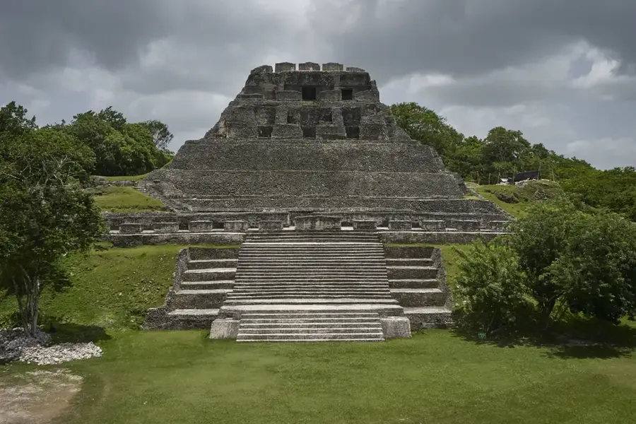
History & landmarks
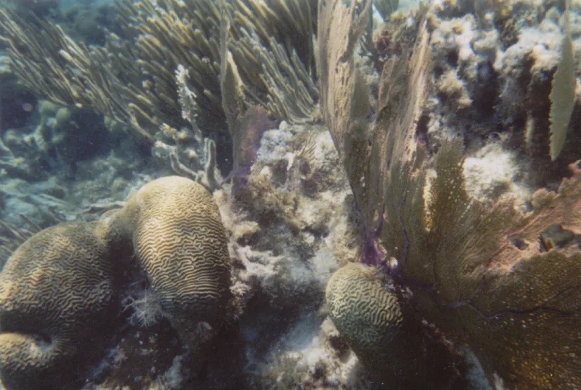
Nature
More places