Plizio Visual Lab
Belmopan
ℹ️Practical info — Belmopan
▾
🌤 Weather — 5 days
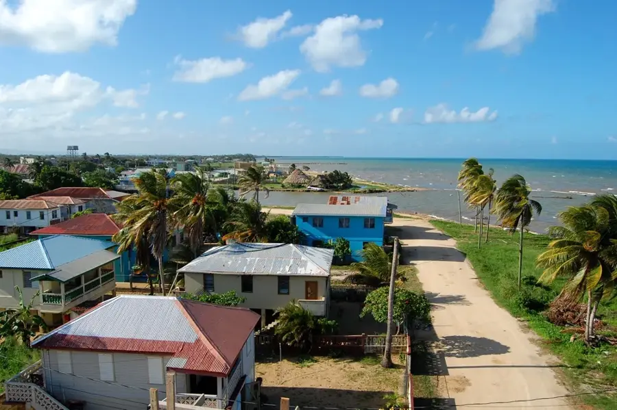
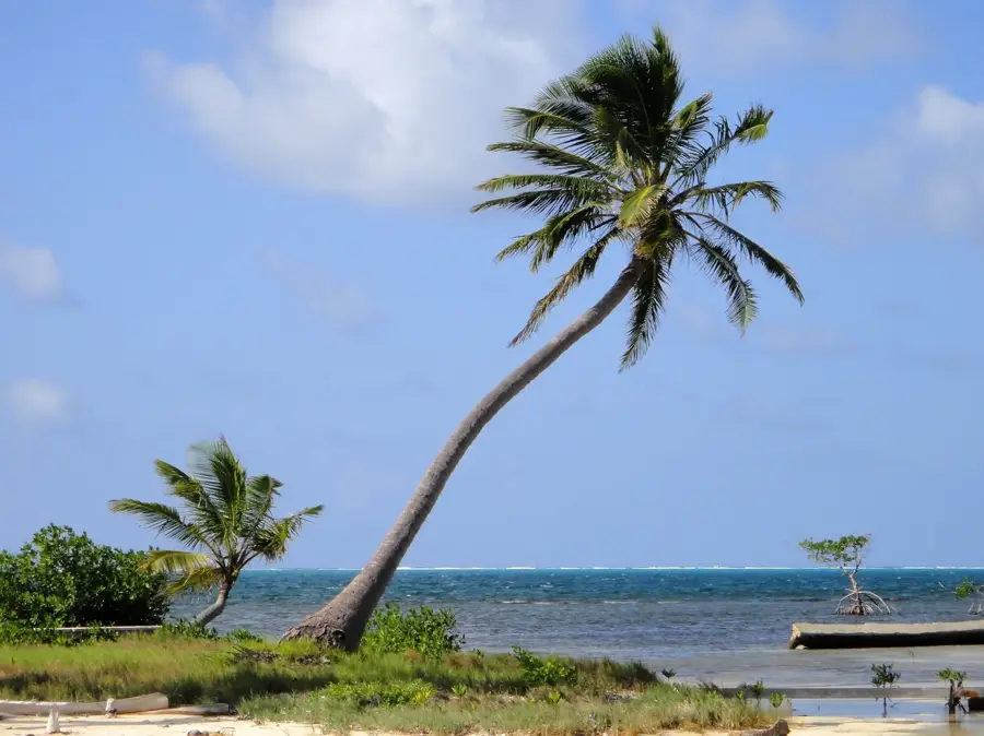
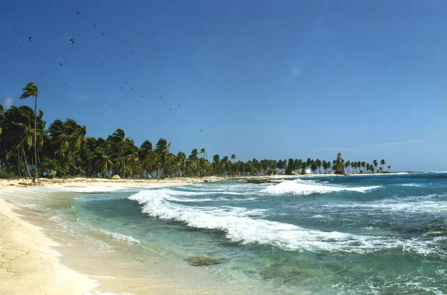
📍 Nearby
Sights nearby
💡 Tips
- The city is laid out with many pedestrian paths; walking and cycling are very convenient and safe.
- The central market is most active on Tuesdays and Fridays, so plan your visit accordingly.
- Because it is inland, the humidity can feel intense compared to the coast; stay hydrated.
- It's much quieter on weekends as many government workers leave the capital city.
🍽 Food
Popular fried Mestizo snacks available fresh at the market stalls.
Authentic Maya-style tamales wrapped in plantain leaves, often sold by street vendors.
A hearty onion soup with chicken, widely served in local diners around the ring road.
🛍 Shopping · 🧘 Quiet spots
Best for fresh produce, spices, and local crafts, especially on active market days.
A renowned spot just outside Belmopan for high-quality Belizean art and mahogany carvings.
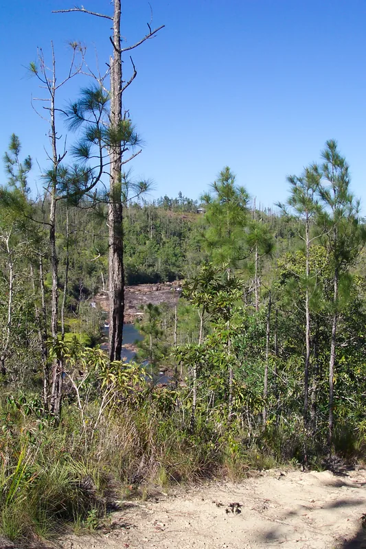
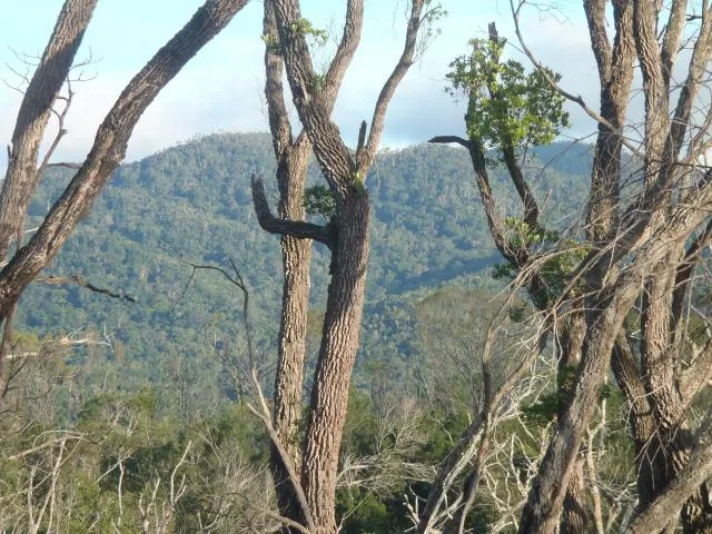
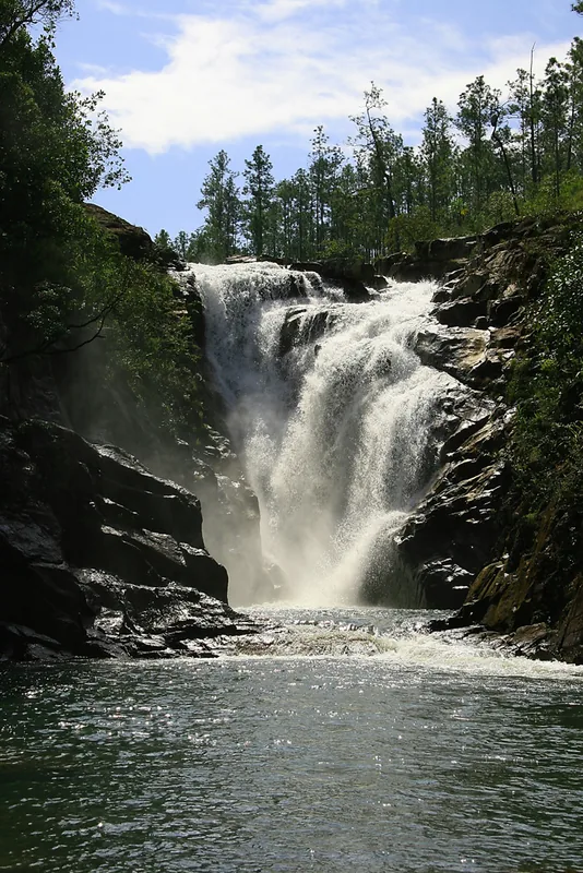
A small, easily accessible nature reserve first-rate for birding just outside the city limits.
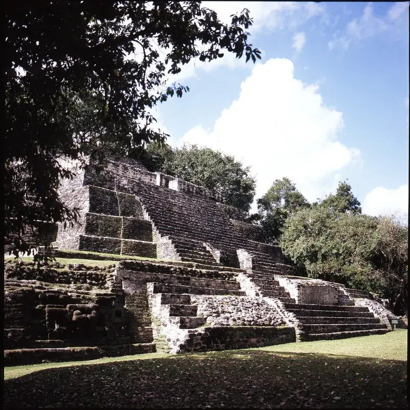
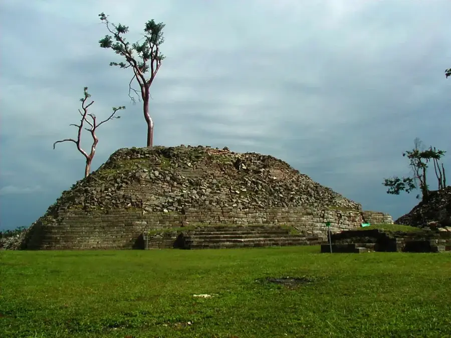
The green space around the parliament features striking Mayan-inspired architecture and is very tranquil.
Water temperature…
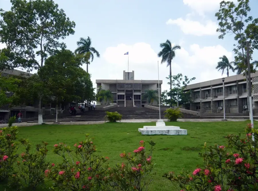
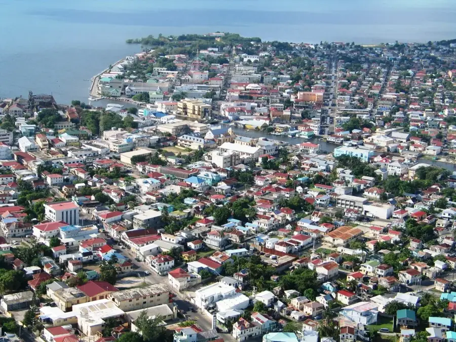
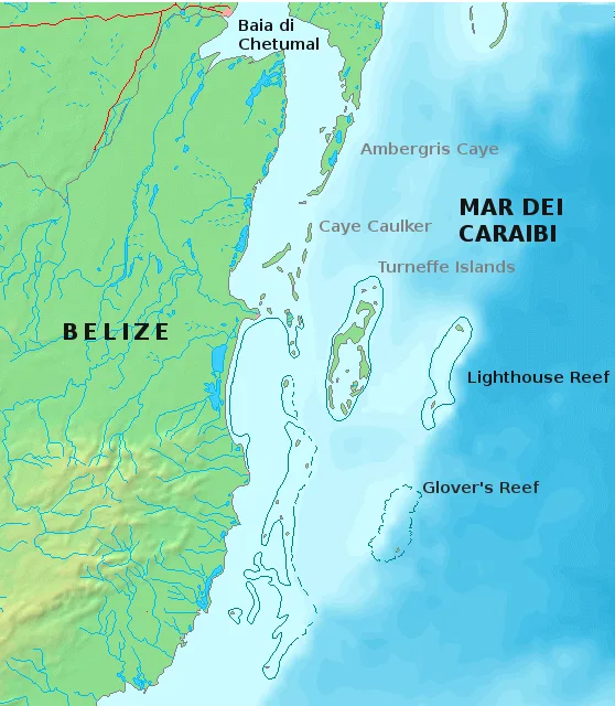
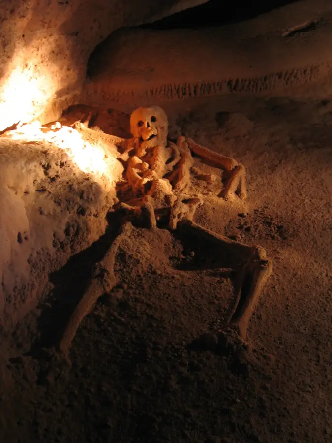
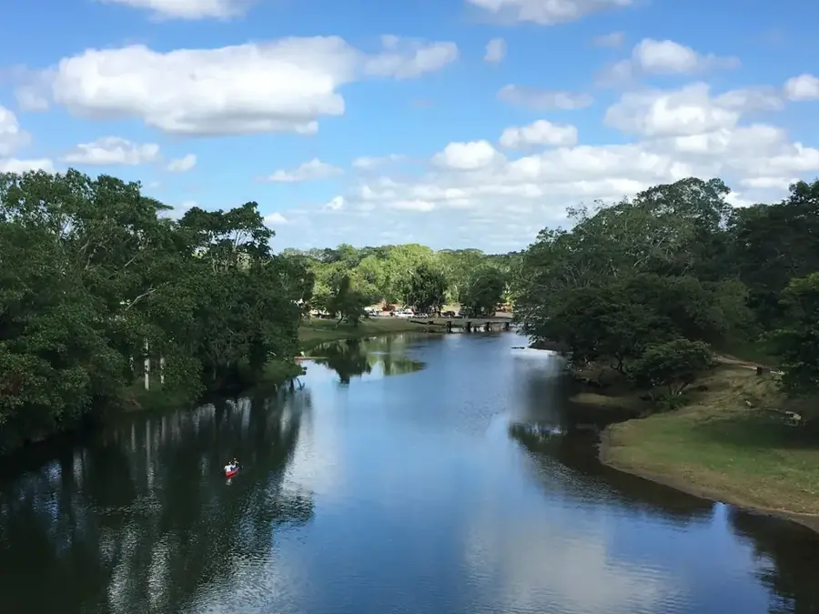
Belmopan, the capital city of Belize, stands as a testament to the nation's resilience and forward-thinking urban planning. Established in 1970, the city was conceived following the catastrophic impact of Hurricane Hattie in 1961, which leveled the former capital, Belize City. To ensure administrative continuity during natural disasters, the government chose a protected inland site in the Cayo District, near the geographic center of the country. The city's layout follows a modern 'Garden City' model, characterized by extensive pedestrian pathways, open plazas, and a significant amount of integrated greenery. One of the most striking features is the National Assembly building, designed in a Neo-Mayan style that pays homage to the region's pre-Columbian civilization. As the administrative hub of Belize, the city houses government ministries, foreign embassies, and the primary campus of the University of Belize. Beyond its political role, Belmopan has grown into a diverse community where English, Spanish, and Kriol are commonly heard, reflecting the country's multicultural fabric. The local economy is driven by the public sector, non-governmental organizations, and a growing service industry. Its strategic location near the George Price Highway and the Hummingbird Highway makes it a vital junction for national commerce and tourism. Visitors often use Belmopan as a gateway to the nearby Maya Mountains and various eco-tourism sites, such as St. Herman's Blue Hole National Park. Despite its modest population size of around 27,000, Belmopan continues to evolve, balancing its role as a quiet, functional government seat with its emergence as a center for higher education and sustainable development in the heart of the Belizean wilderness.
- Location: Belize
- Top sights: Belmopan Public Library · St. Ann's Anglican Church · Belize Archives and Records Service
- Nearby: August Pine Ridge (4 km)
- Population: ~13.381 (2025)
Best time to visit & climate
The most pleasant time to visit is Jan–Mar.
| Jan | Feb | Mar | Apr | May | Jun | Jul | Aug | Sep | Oct | Nov | Dec | |
|---|---|---|---|---|---|---|---|---|---|---|---|---|
| Avg °C | 23 | 24 | 26 | 28 | 28 | 27 | 27 | 27 | 27 | 25 | 24 | 23 |
| Rain mm | 101 | 55 | 45 | 34 | 118 | 230 | 149 | 174 | 198 | 243 | 170 | 126 |
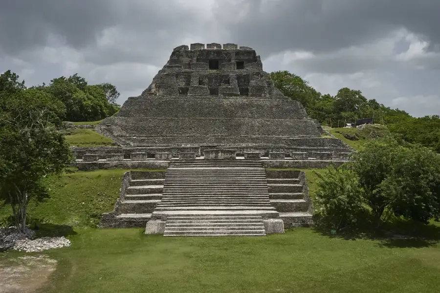
History & landmarks
Modern
1970
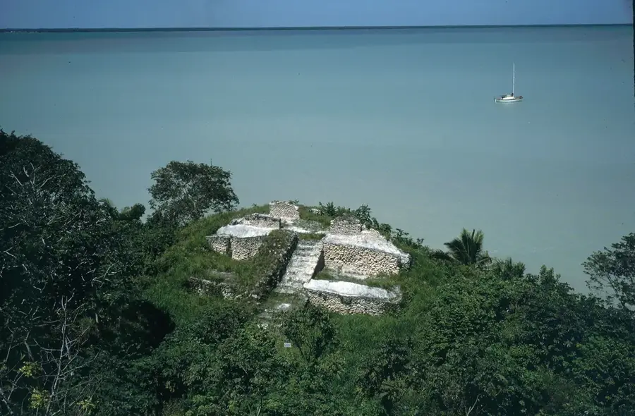
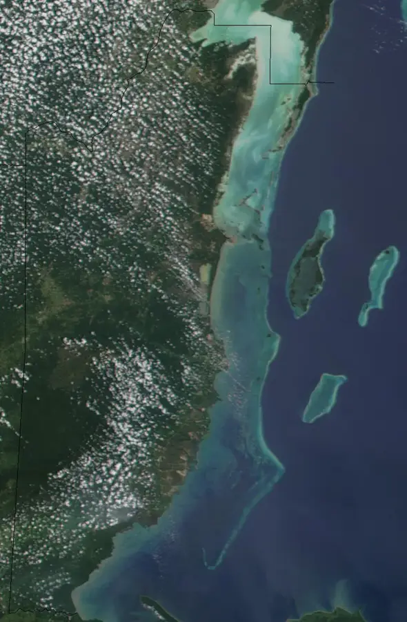
Geography
Facts
- Became the official capital of Belize on August 1, 1970.
- Designed to withstand hurricane force winds due to its inland location.
- The National Assembly building features a distinct Mayan-temple architecture.
- With roughly 27,000 residents, it is one of the smallest national capitals.
- Located in the Cayo District, approximately 50 miles from the Caribbean coast.
- The city is divided into several zones, including the administrative center.
- Home to the main campus of the University of Belize, established in 2000.
- Named by combining the word 'Belize' with the name of the Mopan River.
Explore nearby
Notable places around
Route planner — Car & Motorhome
Where do you start? We build the route here, with stops and country notes along the way.
© OpenStreetMap contributors · OpenRouteService
Sights in the town Belmopan (3)
Frequently asked questions
How many days for Belmopan?
When is the best time to visit?
Is there typical local food?
Is Belmopan safe for tourists?
How do I get to the zoo from here?
Belmopan: where is it located?
Belmopan: what is there to see?
Belmopan: when is the best time to visit?
Belmopan: why is it worth visiting?

Nearby cities

History & landmarks
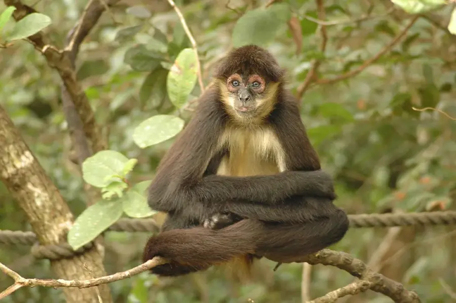
Nature
More places