Plizio Visual Lab
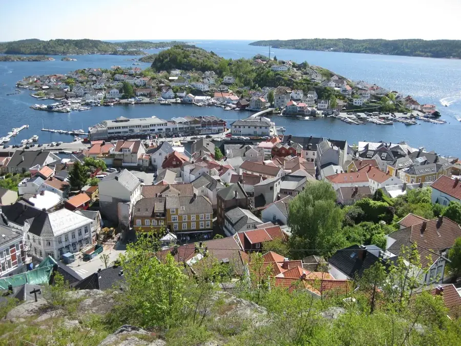
San Miguel (Toledo)

ℹ️Practical info — San Miguel (Toledo)
▾
🌤 Weather — 5 days
📍 Nearby
Sights nearby
💡 Tips
- Hire a local guide to explore the nearby Columbia River Forest Reserve safely.
- Respect local Maya traditions; always ask for permission before photographing residents.
- Carry small change in Belizean dollars, as credit cards are rarely accepted in the village.
- Bring strong insect repellent for jungle hikes and evening walks.
🍽 Food
Served in local family kitchens or small eateries, made with free-range chicken and local spices.
Made fresh daily by local families; try them warm right off the traditional comal.
Traditional Maya hot chocolate prepared locally using freshly roasted cacao beans.
🛍 Shopping · 🧘 Quiet spots
Look for woven baskets and delicate embroidery sold directly by local artisans from their homes.
Purchase raw or fermented cacao directly from local farmers in the village.
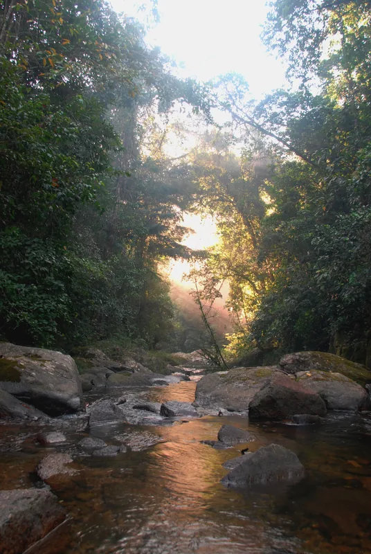
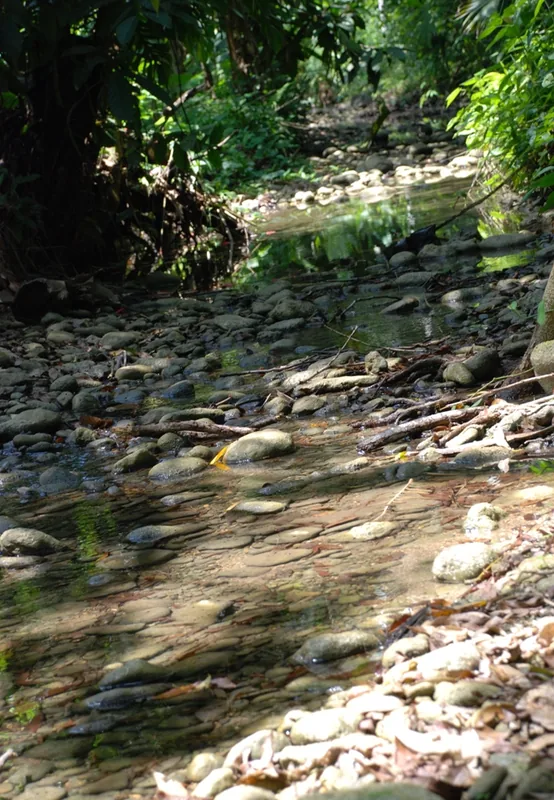
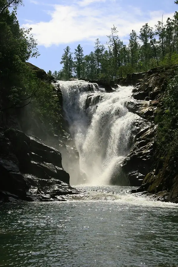
Peaceful jungle walks just outside the village, surrounded by lush biodiversity.
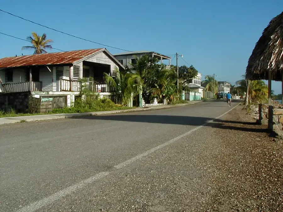
A calm spot to observe traditional rural village life as the evening cools down.
Water temperature…
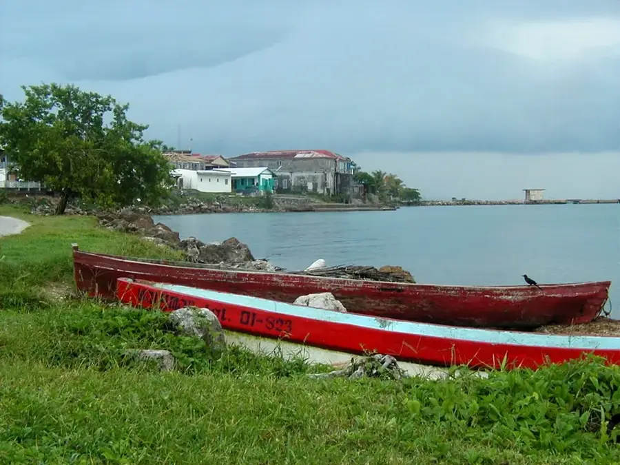
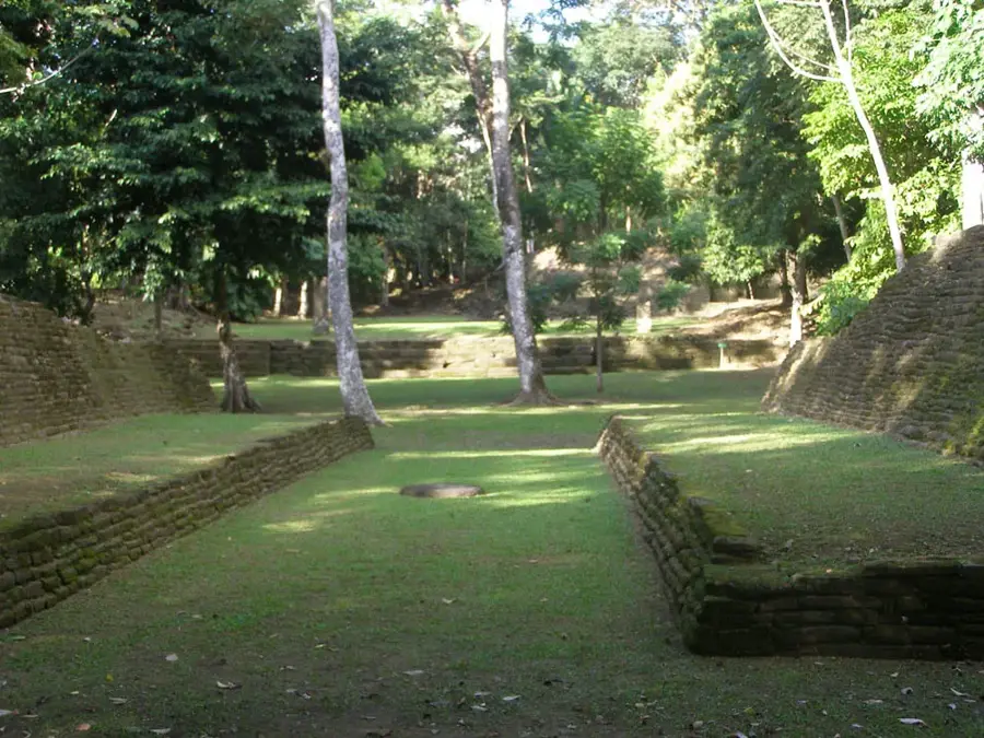
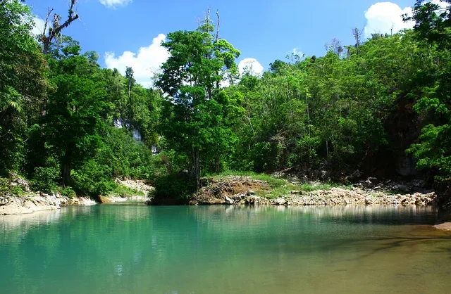
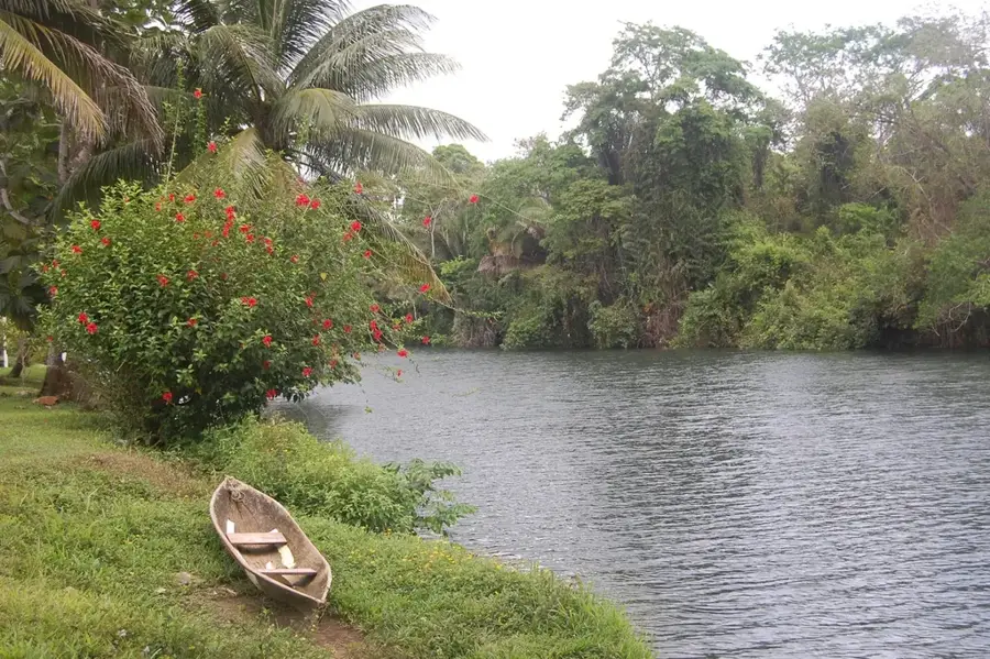
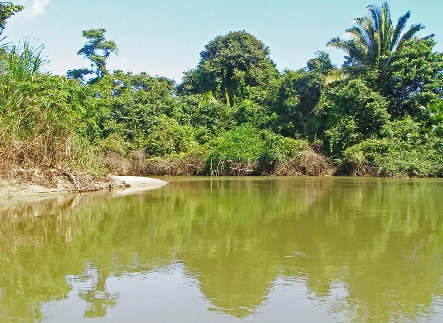
San Miguel is a culturally significant village located in the Toledo District of southern Belize, situated on the banks of the Rio Grande. The settlement was established in the 1950s by Mopan Maya families who migrated from neighboring Guatemala to find fertile land for farming. Today, the community serves as a lively center for Maya traditions, where ancient crafts such as basket weaving and textile production are still actively practiced. The local economy is primarily based on subsistence agriculture, with the cultivation of maize, beans, and high-quality cacao forming the backbone of the villagers' livelihood. Geographically, San Miguel is located approximately 30 kilometers northwest of Punta Gorda, the administrative capital of the district. Its close proximity to the archaeological site of Lubaantun makes San Miguel an important hub for cultural tourism and historical research in the area. In recent decades, the village's infrastructure has improved through the construction of better bridges and road networks, significantly easing the transport of goods to regional markets. The residents remain deeply committed to preserving their indigenous language and ancestral customs despite the encroaching influences of modern development.
- Location: Belize
- Nearby: Spanish Lookout (6 km)
- Population: ~812 (2025)
Best time to visit & climate
The most pleasant time to visit is Feb–Apr.
| Jan | Feb | Mar | Apr | May | Jun | Jul | Aug | Sep | Oct | Nov | Dec | |
|---|---|---|---|---|---|---|---|---|---|---|---|---|
| Avg °C | 23 | 24 | 25 | 27 | 28 | 27 | 26 | 27 | 27 | 26 | 24 | 23 |
| Rain mm | 121 | 82 | 68 | 48 | 130 | 240 | 191 | 205 | 237 | 252 | 217 | 143 |
Geography
Facts
- San Miguel was founded in the 1950s by Mopan Maya families.
- The village is located about 30 kilometers northwest of Punta Gorda.
- It sits on the banks of the geographically important Rio Grande.
- The Lubaantun archaeological site is located only 3 kilometers away.
- Cacao cultivation is a primary source of income for the villagers.
- The population consists of approximately 600 indigenous residents.
Explore nearby
Notable places around
Route planner — Car & Motorhome
Where do you start? We build the route here, with stops and country notes along the way.
© OpenStreetMap contributors · OpenRouteService
Frequently asked questions
Where is San Miguel located?
What can you experience in San Miguel?
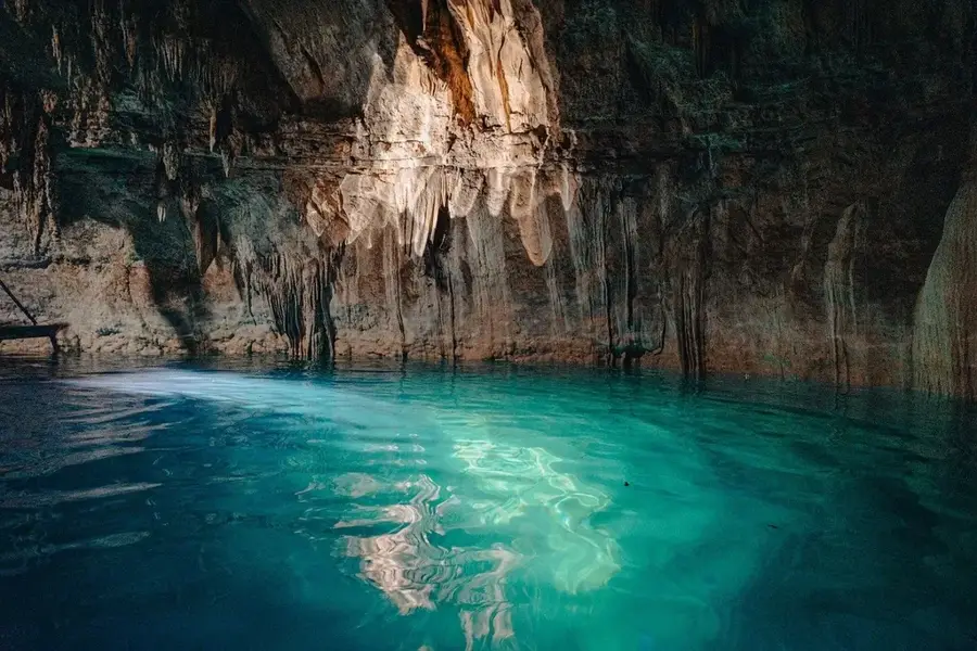
What is Tiger Cave?
Are there Maya ruins there?
What do the residents produce?
San Miguel (Toledo): where is it located?
San Miguel (Toledo): when is the best time to visit?
San Miguel (Toledo): why is it worth visiting?

Nearby cities

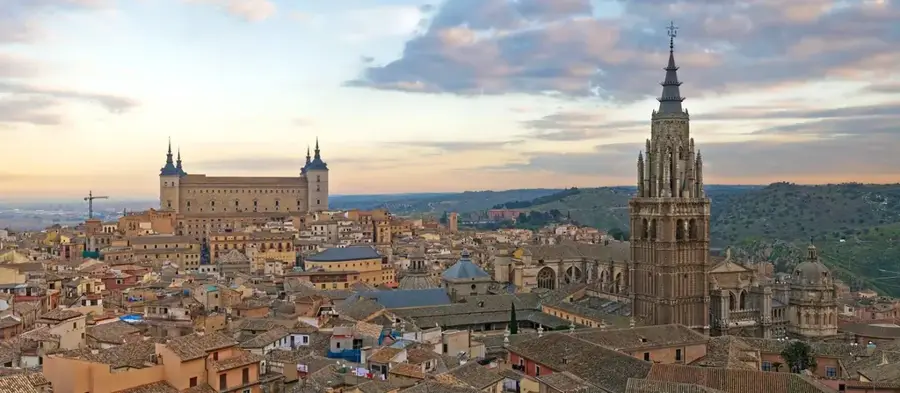
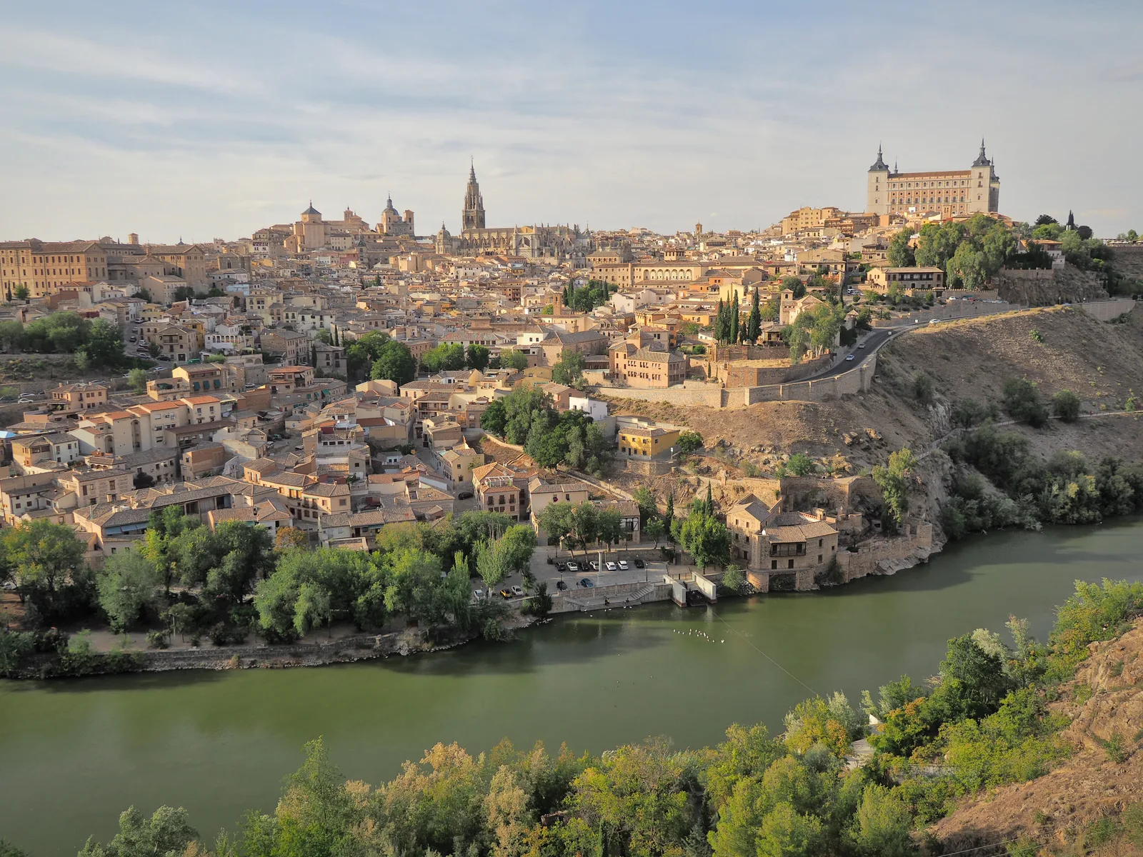

History & landmarks
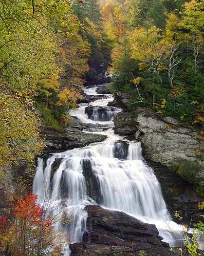
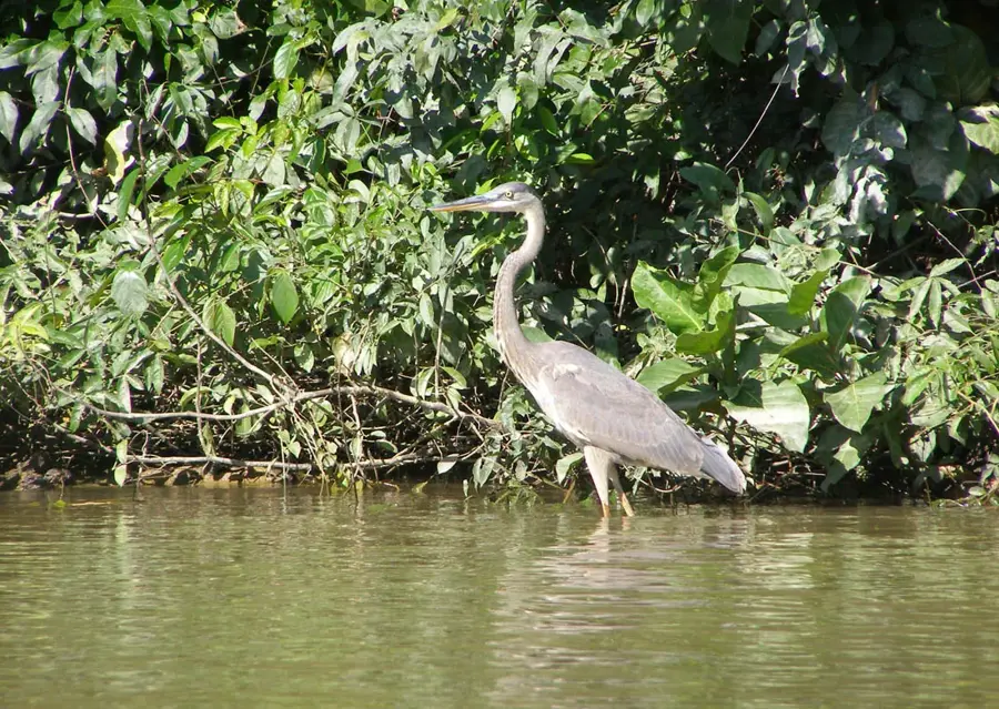
Nature
More places