Plizio Visual Lab
Columbia River Forest Reserve
Weather…
Water temperature…
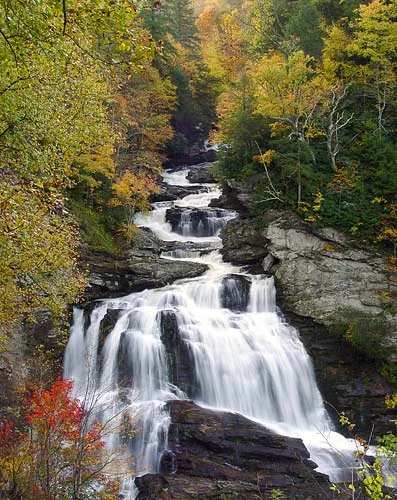
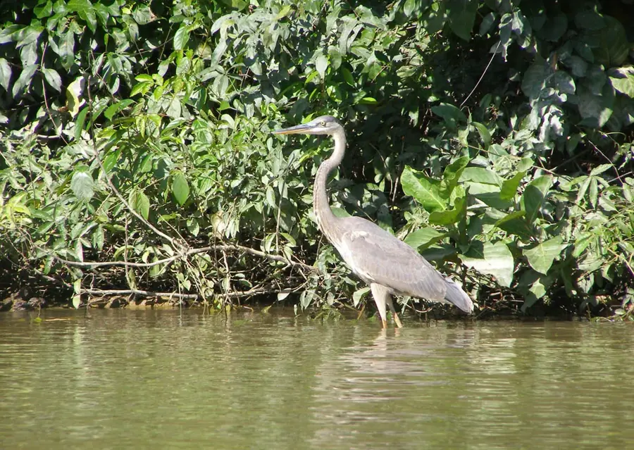
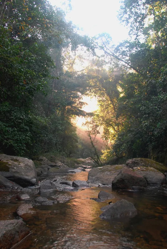
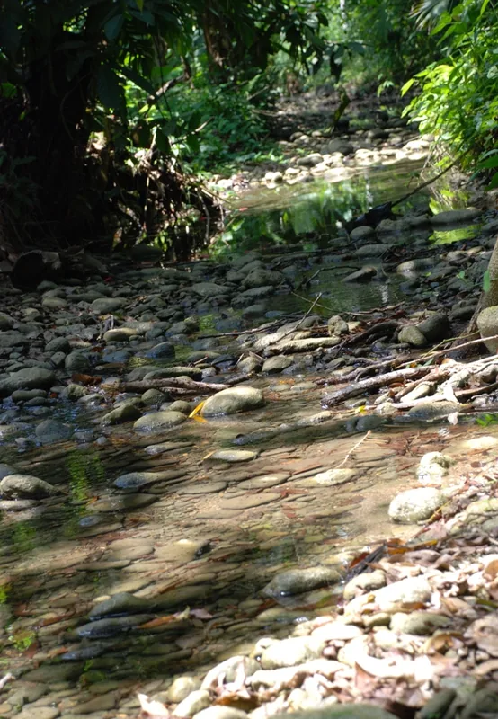
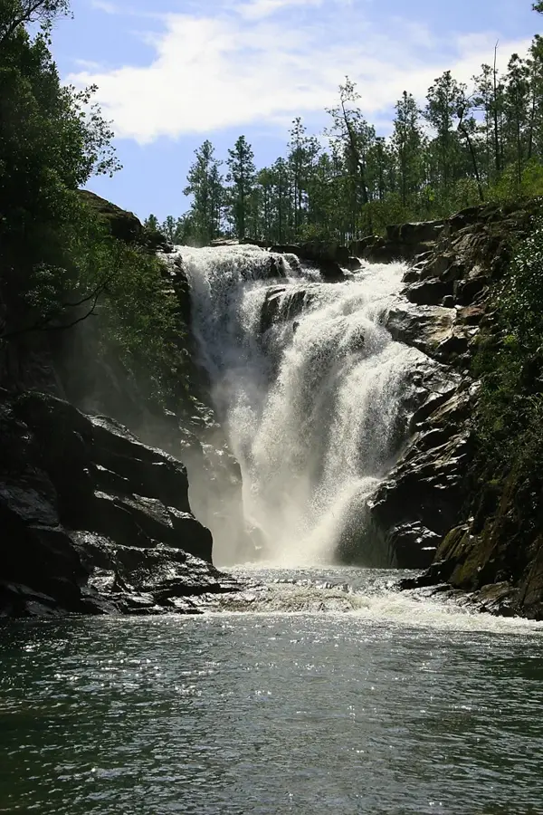
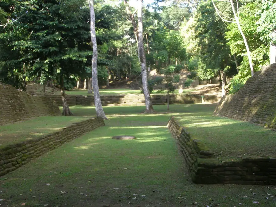
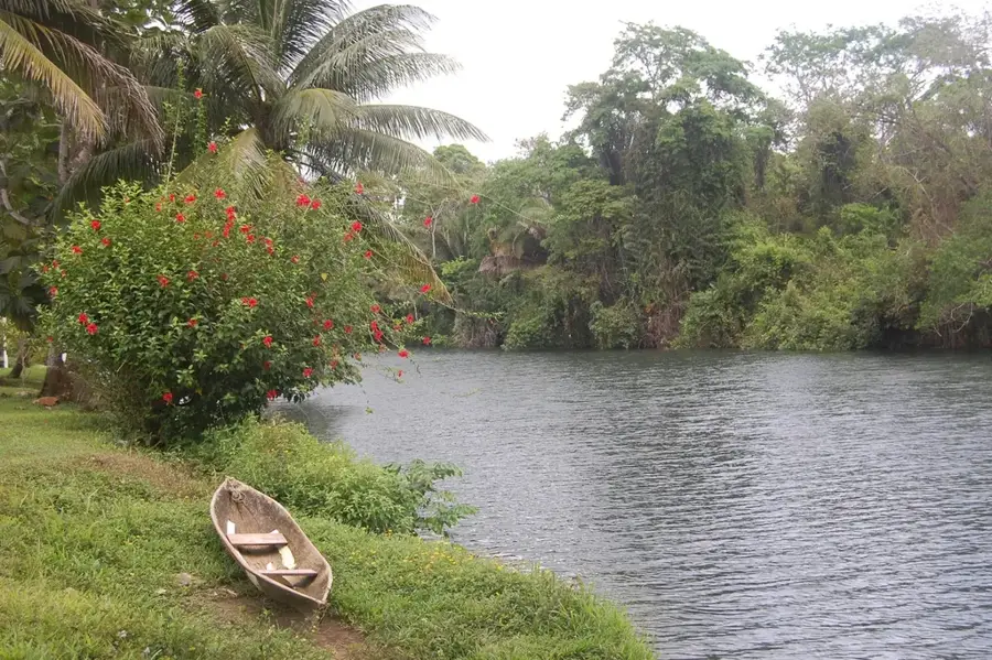
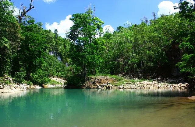
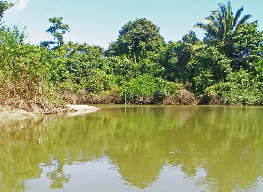
The Columbia River Forest Reserve in the Toledo District of southern Belize is a critical forest reserve and an important part of the Maya Mountain corridor. It is one of the most biodiverse, but also one of the most threatened forest areas in Belize, mainly due to illegal agricultural incursions from neighboring Guatemala. The forest is a mosaic of tropical lowland and foothill forest and is home to an exceptional diversity of plants and animals, including rare species such as the Harpy Eagle and the Baird's Tapir. The reserve is also crucial for the water supply of the surrounding communities. Conservation organizations work intensively with local communities and government agencies to strengthen the protection of the forest through improved monitoring and sustainable development practices. The conservation of the Columbia River Forest Reserve is crucial for maintaining the biodiversity and ecological integrity of southern Belize.
- Location: Belize
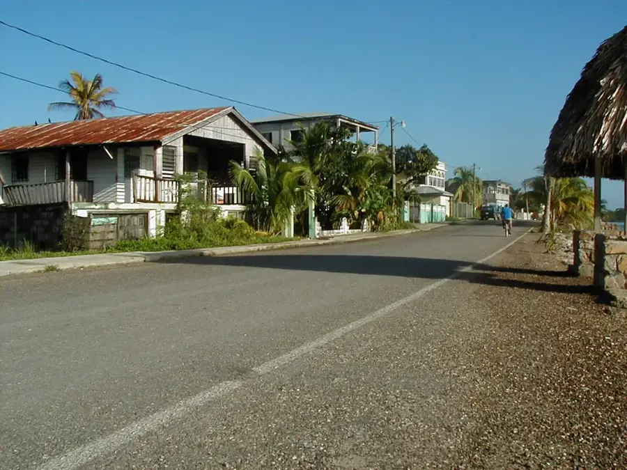
- Nearby: San Jose Succotz (5 km)
Best time to visit & climate
The most pleasant time to visit is Feb–Apr.
| Jan | Feb | Mar | Apr | May | Jun | Jul | Aug | Sep | Oct | Nov | Dec | |
|---|---|---|---|---|---|---|---|---|---|---|---|---|
| Avg °C | 23 | 24 | 25 | 27 | 28 | 27 | 26 | 27 | 27 | 26 | 24 | 23 |
| Rain mm | 121 | 82 | 68 | 48 | 130 | 240 | 191 | 205 | 237 | 252 | 217 | 143 |
📋 Practical info
Geography
Facts
- Covers approximately 148,000 acres of pristine tropical rainforest.
- Receives some of the highest rainfall in Belize, exceeding 150 inches per year.
- The terrain is dominated by 'tower karst' limestone formations.
- Critical habitat for the endangered Central American Tapir.
- Contains the headwaters of the Columbia River and several other major southern rivers.
- The area was historically a center for the extraction of chicle and mahogany.
- Forms a significant part of the tri-national Selva Maya forest block.
Explore nearby
Notable places around
Route planner — Car & Motorhome
Where do you start? We build the route here, with stops and country notes along the way.
© OpenStreetMap contributors · OpenRouteService
Sights nearby
Frequently asked questions
Where is the Columbia River Forest Reserve located?
Is it developed for tourists?
Are there Maya villages nearby?
What can you see there?
Do I need a guide?
Columbia River Forest Reserve: where is it located?
Columbia River Forest Reserve: when is the best time to visit?
Columbia River Forest Reserve: why is it worth visiting?

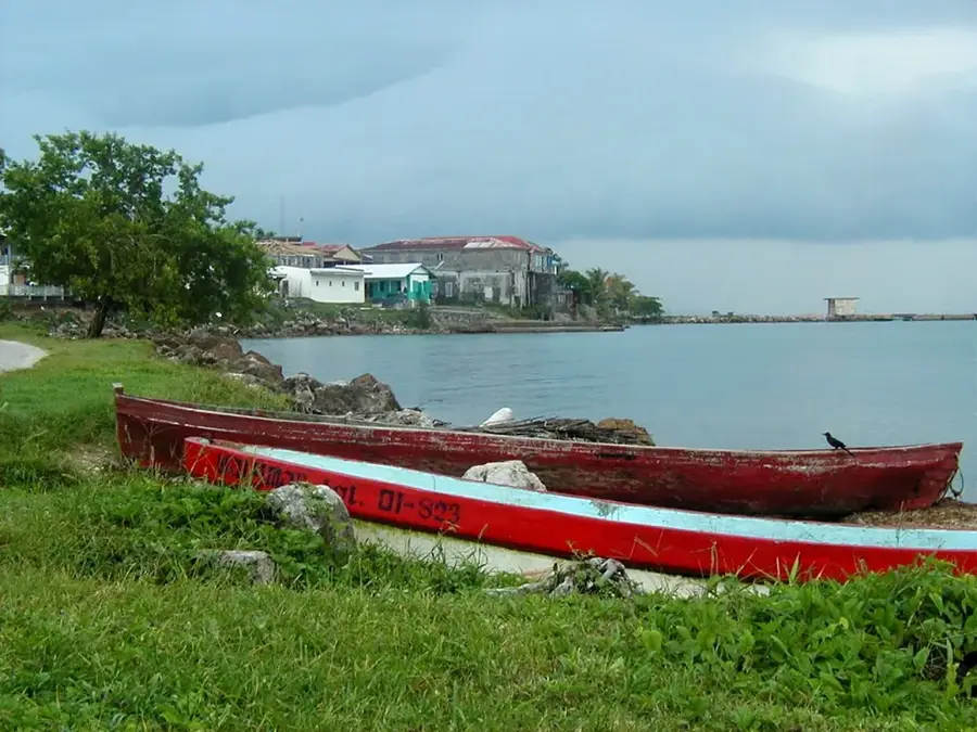
Nearby cities


History & landmarks
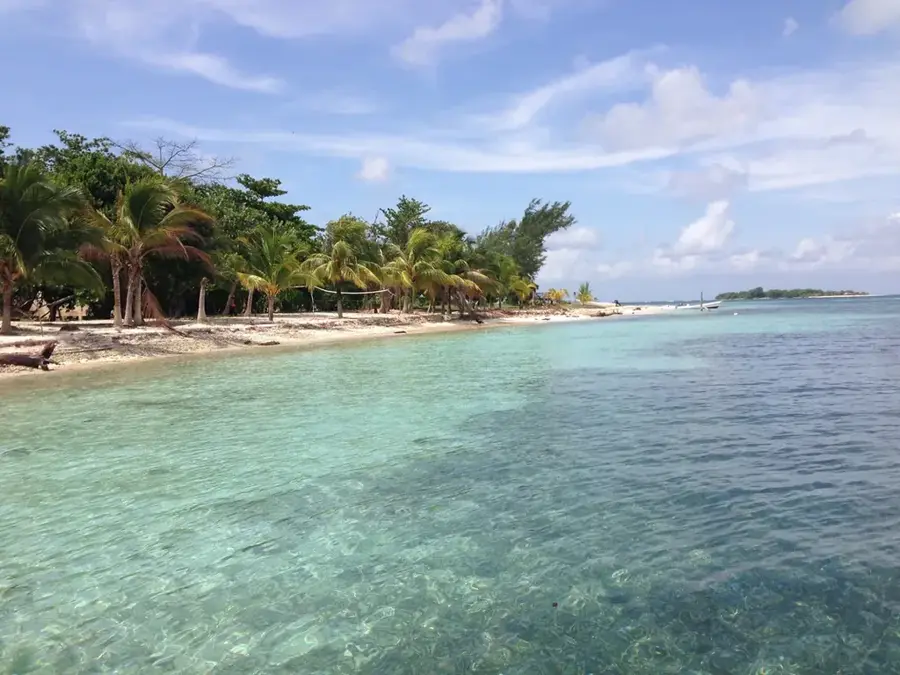
Nature
More places