Plizio Visual Lab
Chiquibul Basin

Weather…
Water temperature…
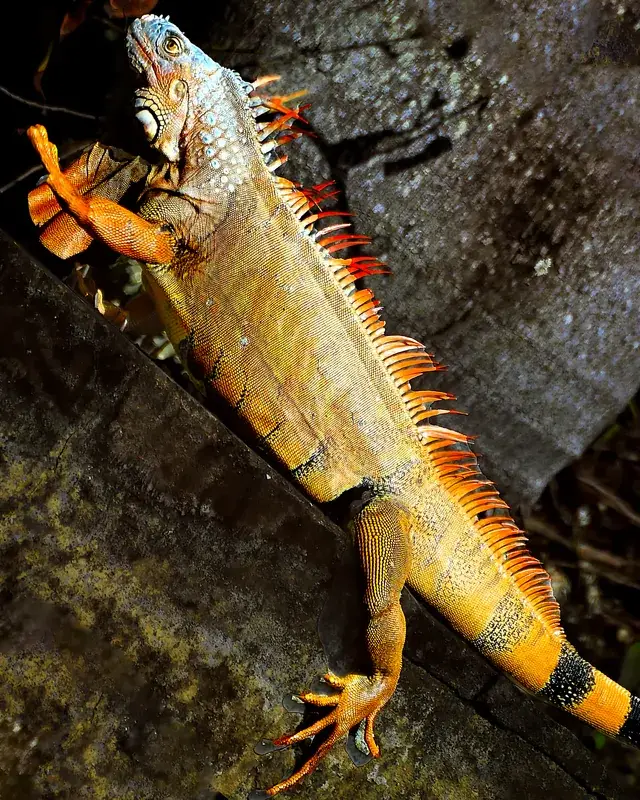
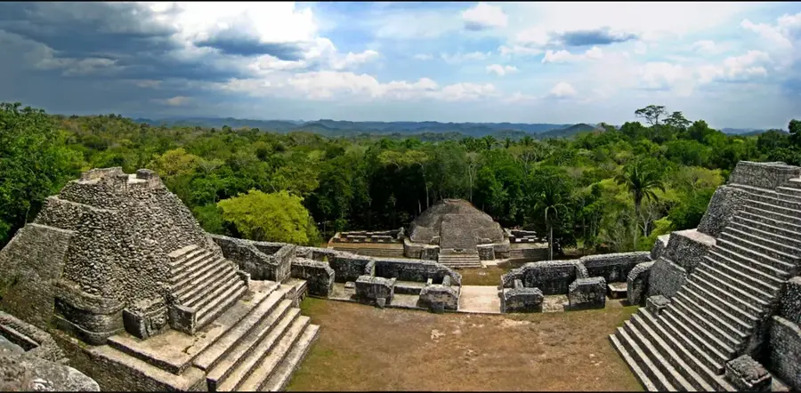
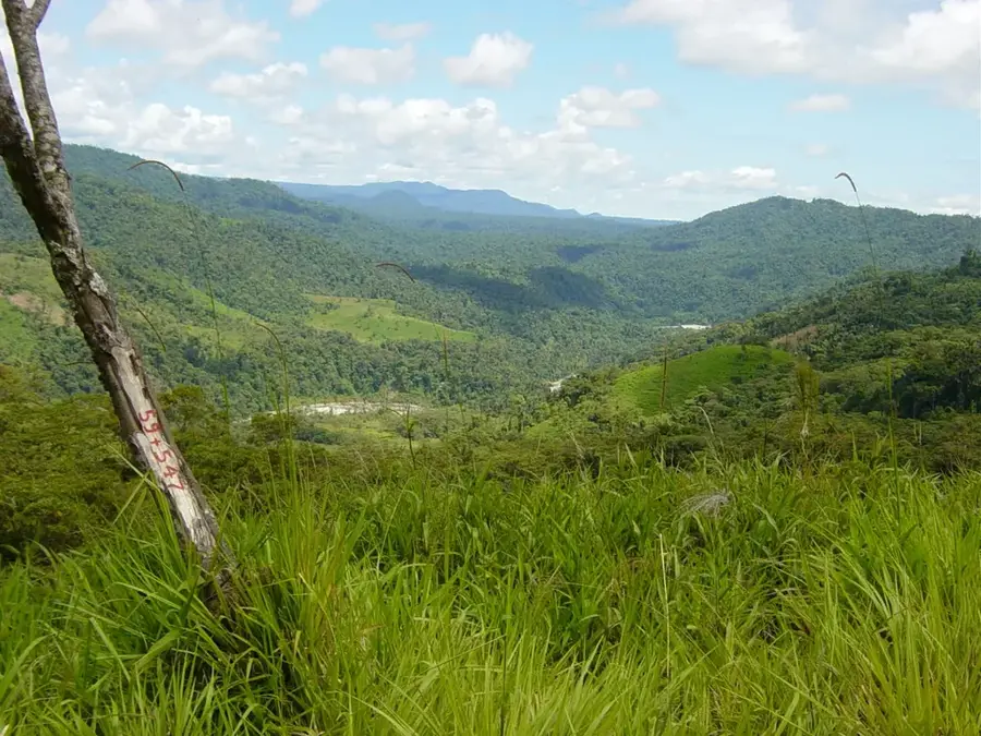
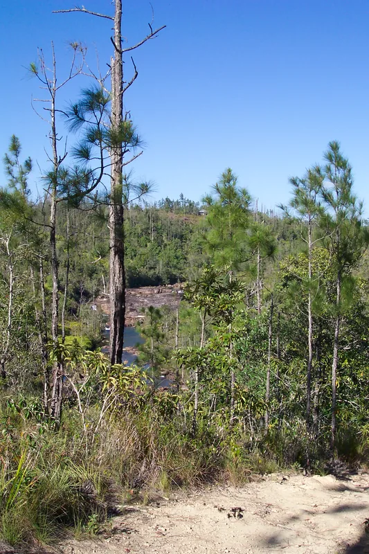
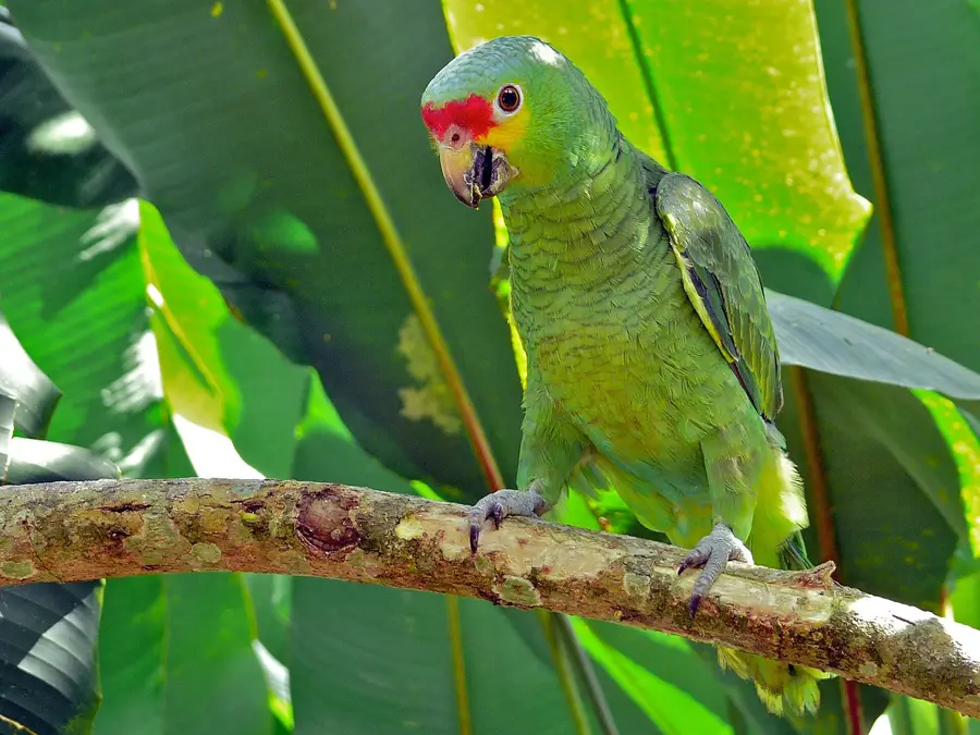
The Chiquibul Basin is Belize's largest protected forest area, a region of mystical beauty and enormous ecological importance. Located in the southwest of the country, it comprises a vast karst plateau riddled with countless caves, sinkholes, and subterranean rivers. Beneath the dense canopy of the Chiquibul Forest lies the largest cave system in Central America, as well as the monumental Maya city of Caracol, which was once more powerful than Tikal. The basin serves as a refuge for the continent's largest predators and is a crucial water reservoir for the entire country. Due to its isolation on the border with Guatemala, the Chiquibul Basin remains a wild frontier, housing both archaeological treasures and unparalleled biodiversity. It is the green heart of Belize, a place where nature and history are inextricably intertwined.
- Location: Belize
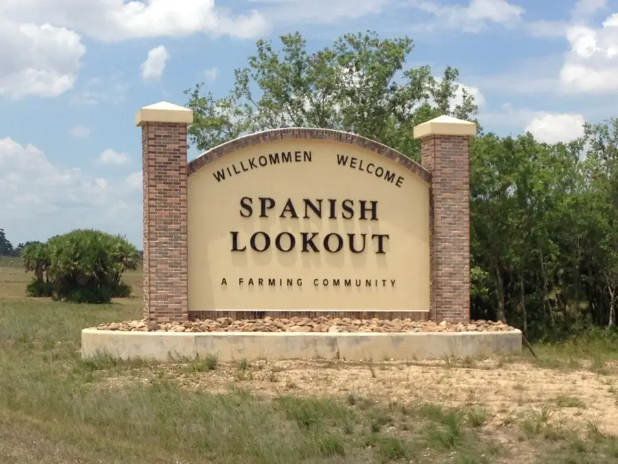
- Nearby: San Pedro Columbia (6 km)
Best time to visit & climate
The most pleasant time to visit is Feb–Apr.
| Jan | Feb | Mar | Apr | May | Jun | Jul | Aug | Sep | Oct | Nov | Dec | |
|---|---|---|---|---|---|---|---|---|---|---|---|---|
| Avg °C | 23 | 24 | 25 | 27 | 28 | 27 | 26 | 27 | 27 | 26 | 24 | 23 |
| Rain mm | 121 | 82 | 68 | 48 | 130 | 240 | 191 | 205 | 237 | 252 | 217 | 143 |
📋 Practical info
Geography
Explore nearby
Notable places around
Route planner — Car & Motorhome
Where do you start? We build the route here, with stops and country notes along the way.
© OpenStreetMap contributors · OpenRouteService
Sights nearby
Frequently asked questions
What is the Chiquibul Basin?
Is the Caracol ruin located in this area?
Is the Chiquibul Cave System accessible?
Are there wild animals there?
What is the security situation for visitors?
Chiquibul Basin: where is it located?
Chiquibul Basin: when is the best time to visit?
Chiquibul Basin: why is it worth visiting?

More places