Plizio Visual Lab
Ambergris Caye
Weather…
Water temperature…
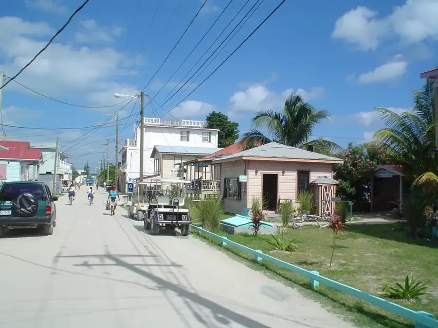
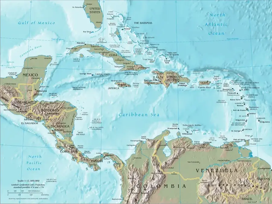
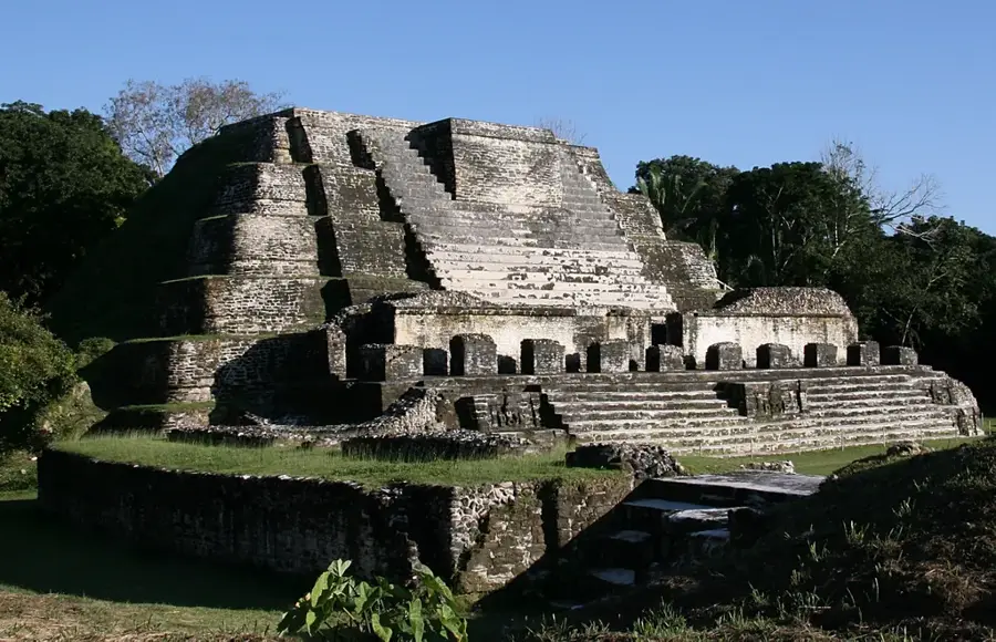
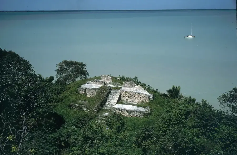
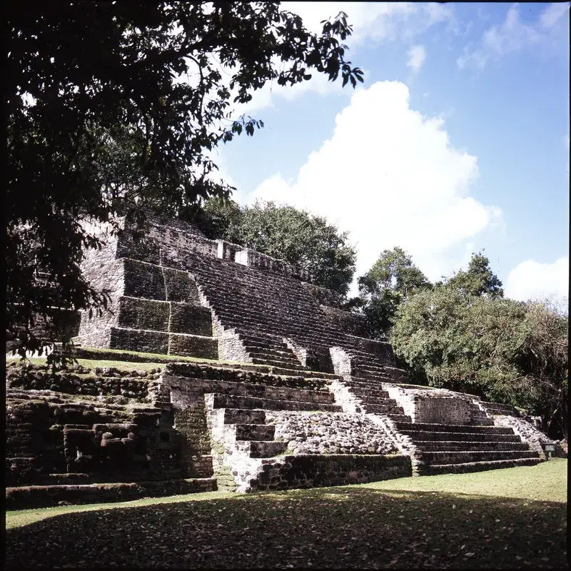
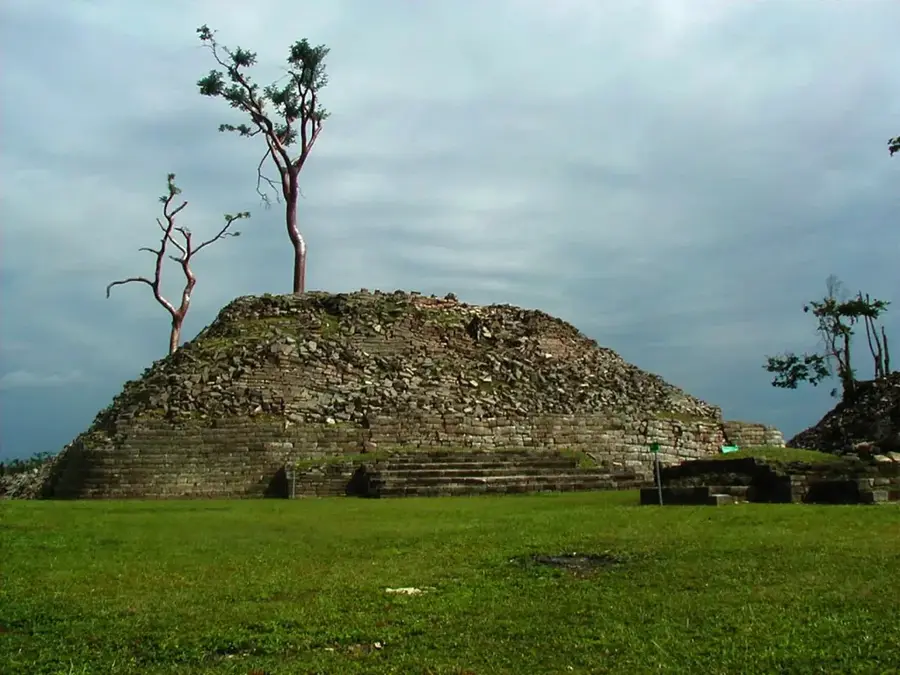
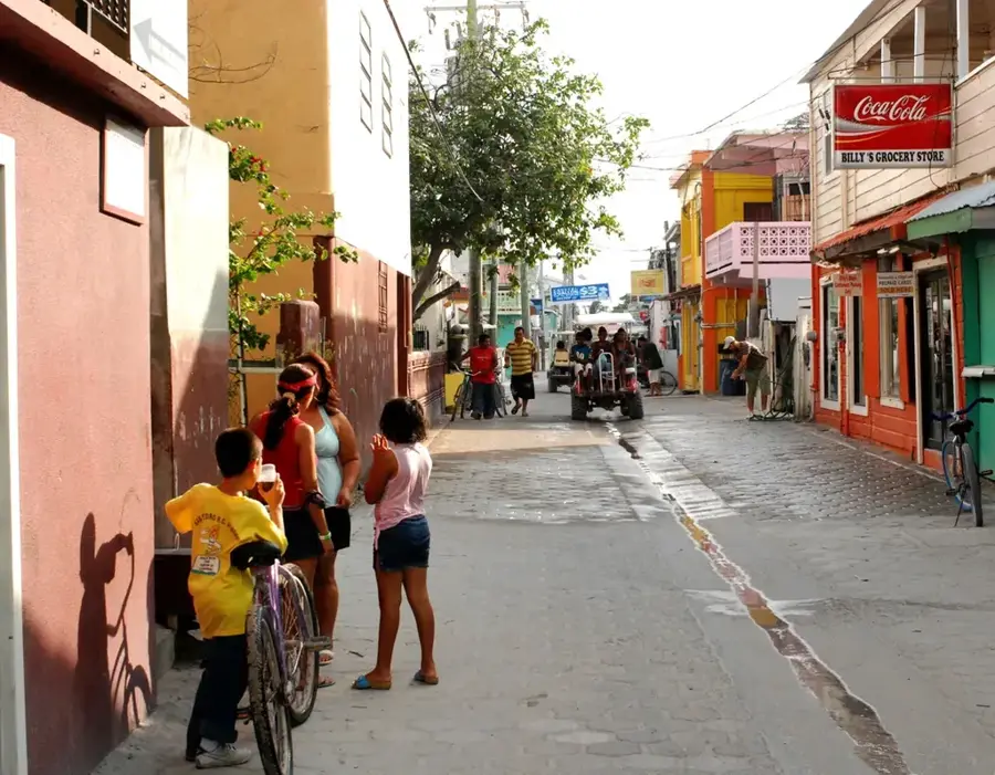
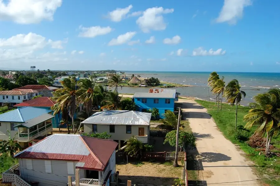
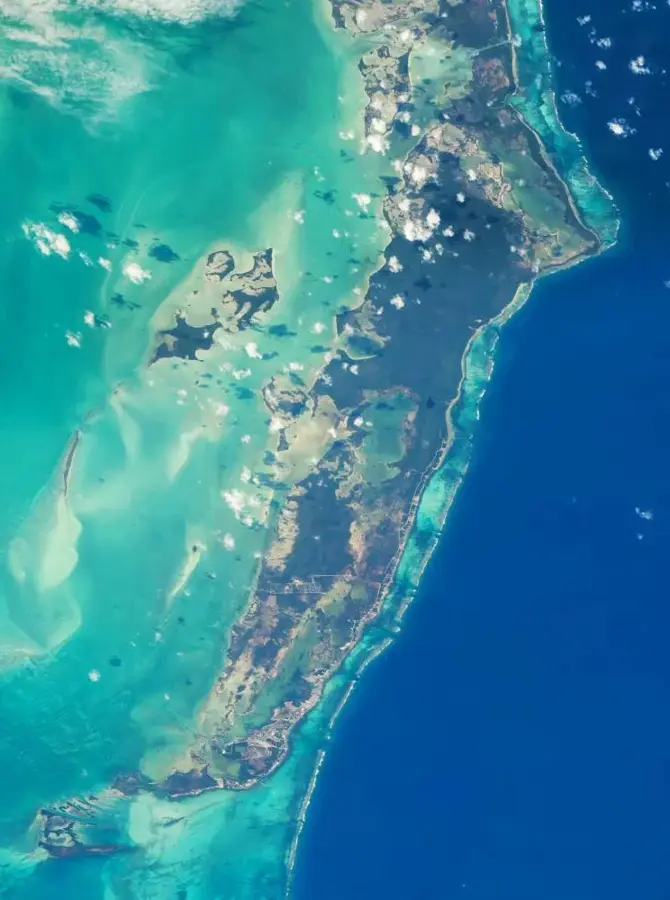
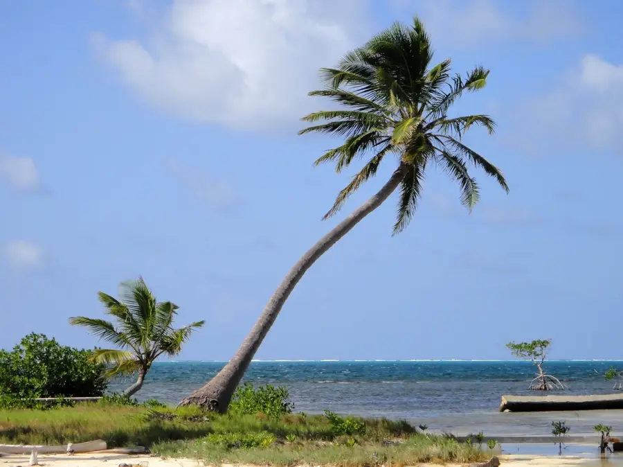
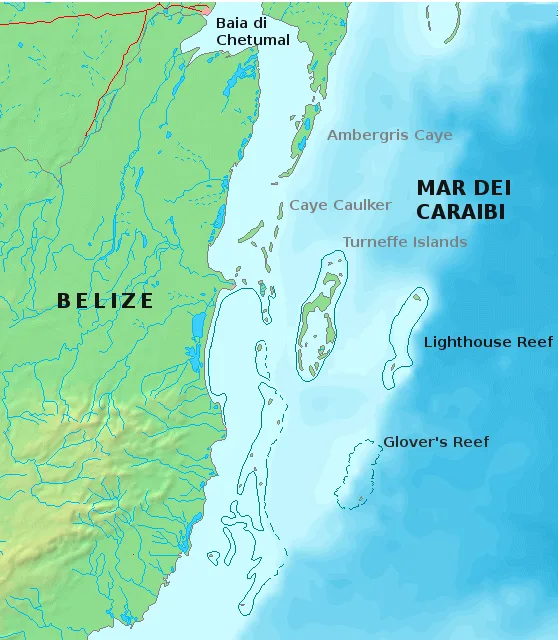
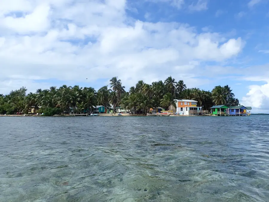
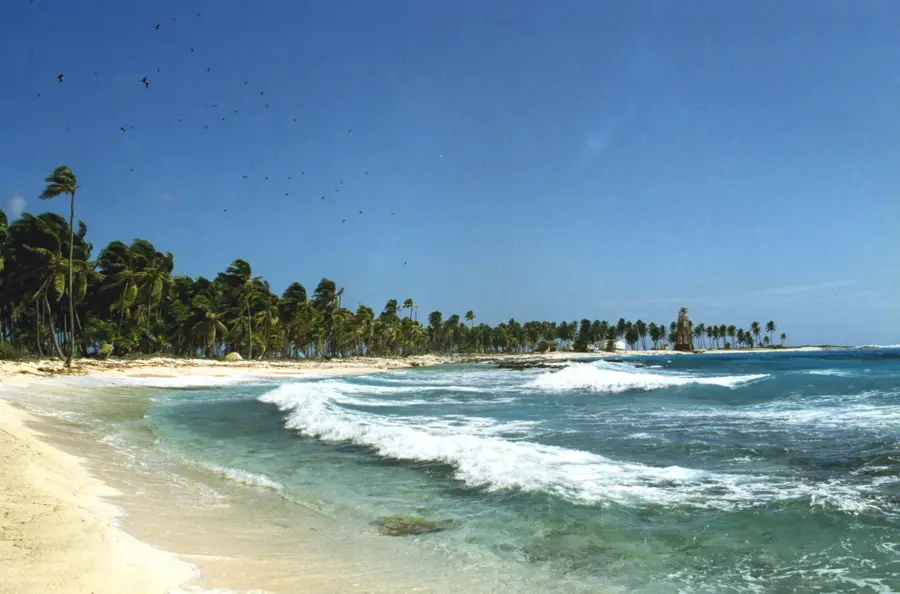
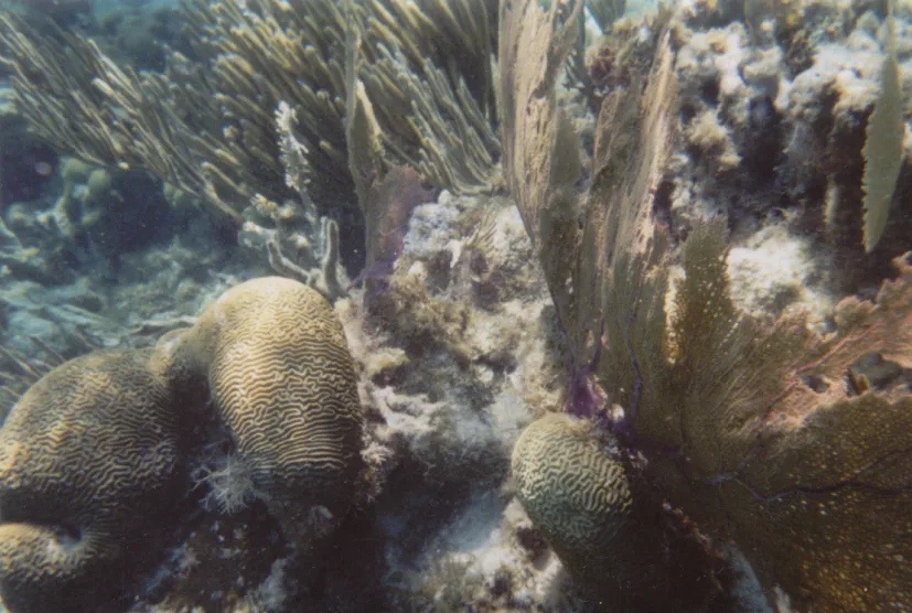
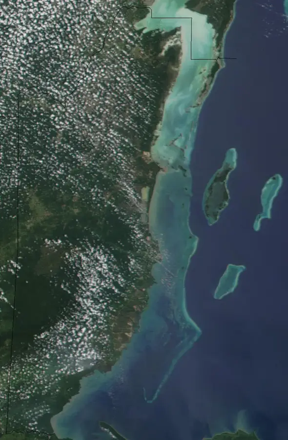
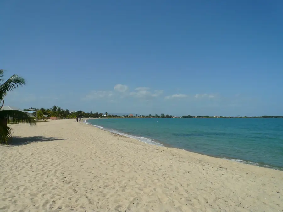
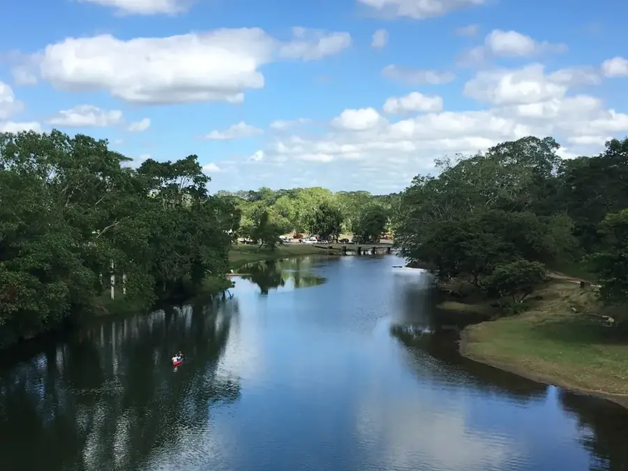
Ambergris Caye is the largest island in Belize, situated in the northeastern Caribbean waters of the Belize District. The island stretches approximately 40 kilometers in length and reaches a maximum width of 1.6 kilometers, consisting primarily of a coral limestone base. Historically, it was a vital maritime trade post for the Maya, who excavated the Boca Bacalar Chico canal to separate the island from the Yucatan Peninsula for easier navigation. San Pedro is the island's only town, functioning as the primary hub for tourism, administration, and commerce. Its immediate proximity to the Belize Barrier Reef has established it as a world-class destination for diving and snorkeling, serving as the main jumping-off point for expeditions to the Great Blue Hole. Despite significant modern development, the island retains a unique character where golf carts remain the standard mode of transportation. The northern reaches of the caye are protected as part of the Bacalar Chico National Park and Marine Reserve, a UNESCO World Heritage site.
- Location: Belize
- Nearby: San Pedro (5 km)
Best time to visit & climate
The most pleasant time to visit is Feb–Apr.
| Jan | Feb | Mar | Apr | May | Jun | Jul | Aug | Sep | Oct | Nov | Dec | |
|---|---|---|---|---|---|---|---|---|---|---|---|---|
| Avg °C | 25 | 25 | 26 | 27 | 28 | 28 | 28 | 28 | 28 | 27 | 26 | 25 |
| Rain mm | 93 | 48 | 41 | 35 | 130 | 213 | 134 | 158 | 175 | 238 | 156 | 108 |
📋 Practical info
Geography
Facts
- At 40 km long, it is the largest of Belize's offshore islands.
- San Pedro was established in 1848 by refugees from the Caste War.
- The Boca Bacalar Chico canal was manually dug by ancient Maya traders.
- The barrier reef is located less than 0.5 miles from the eastern shore.
- Golf carts are the legally designated primary mode of transport.
- The northern tip is home to the Bacalar Chico National Park and Reserve.
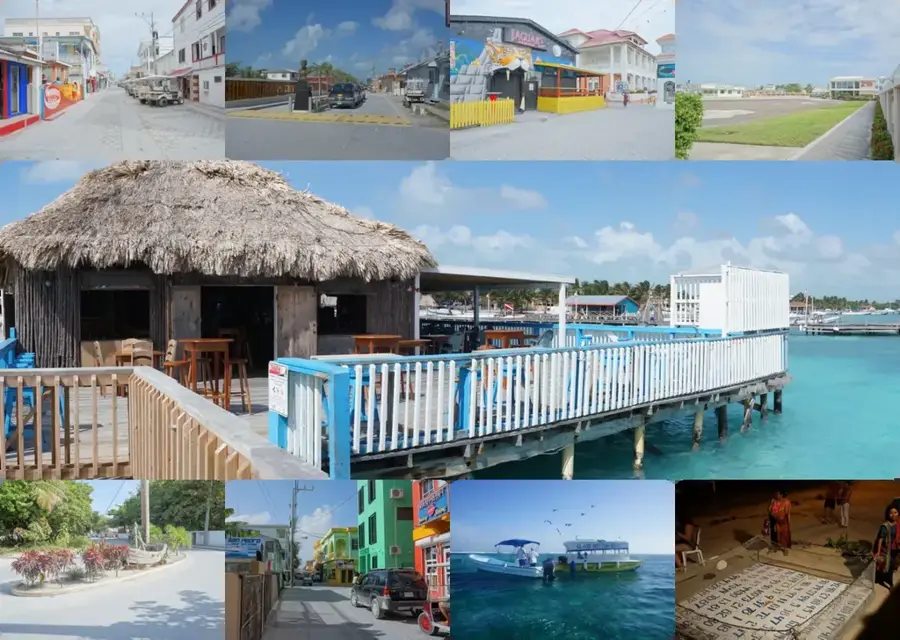
Explore nearby
Notable places around
Route planner — Car & Motorhome
Where do you start? We build the route here, with stops and country notes along the way.
© OpenStreetMap contributors · OpenRouteService
Sights nearby
Frequently asked questions
Is Ambergris Caye expensive?
How to get there from Belize City?
What is the main activity?
Can you rent bicycles?
Are the beaches public?
Ambergris Caye: where is it located?
Ambergris Caye: when is the best time to visit?
Ambergris Caye: why is it worth visiting?

Nearby cities

History & landmarks
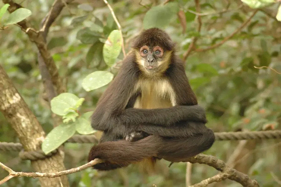
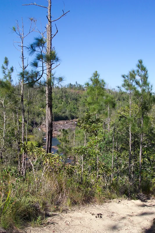
Nature
More places