Plizio Visual Lab
Caracol
Weather…
Water temperature…
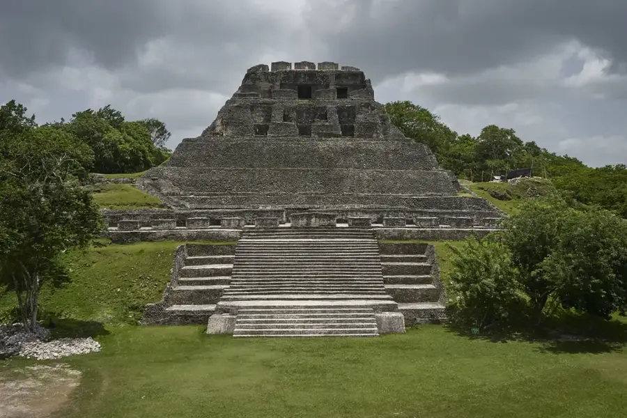
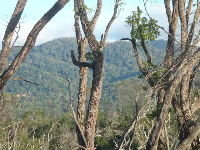
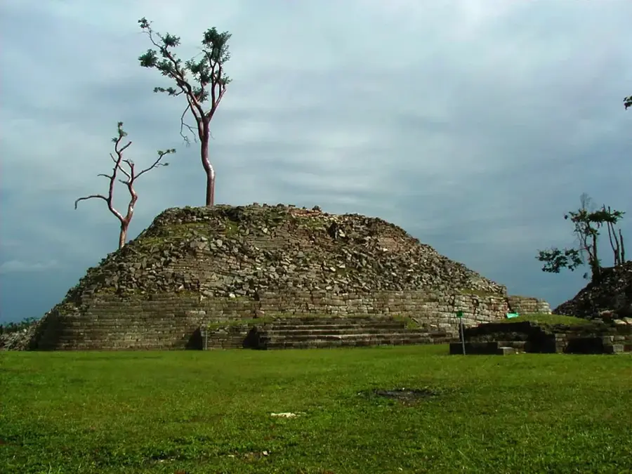
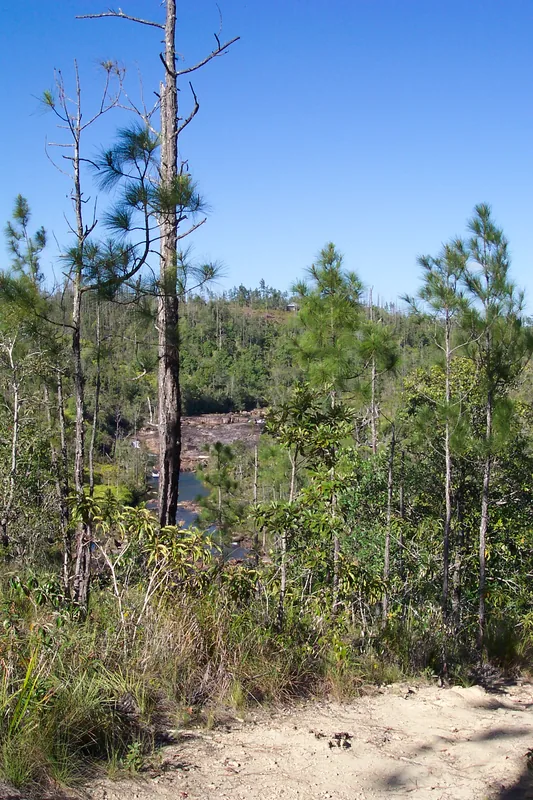
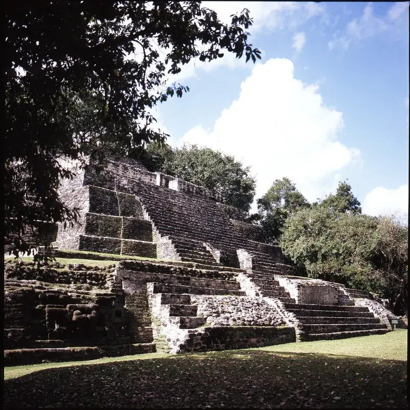
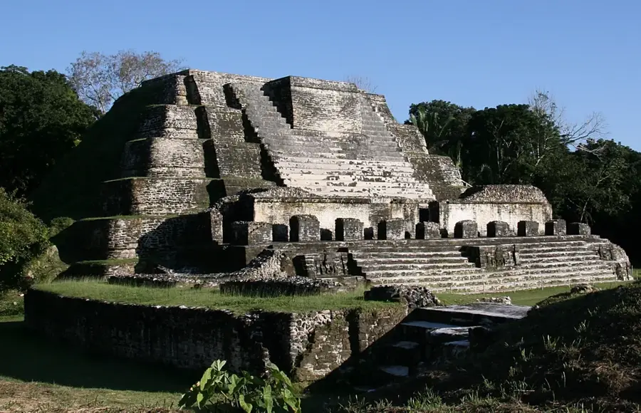
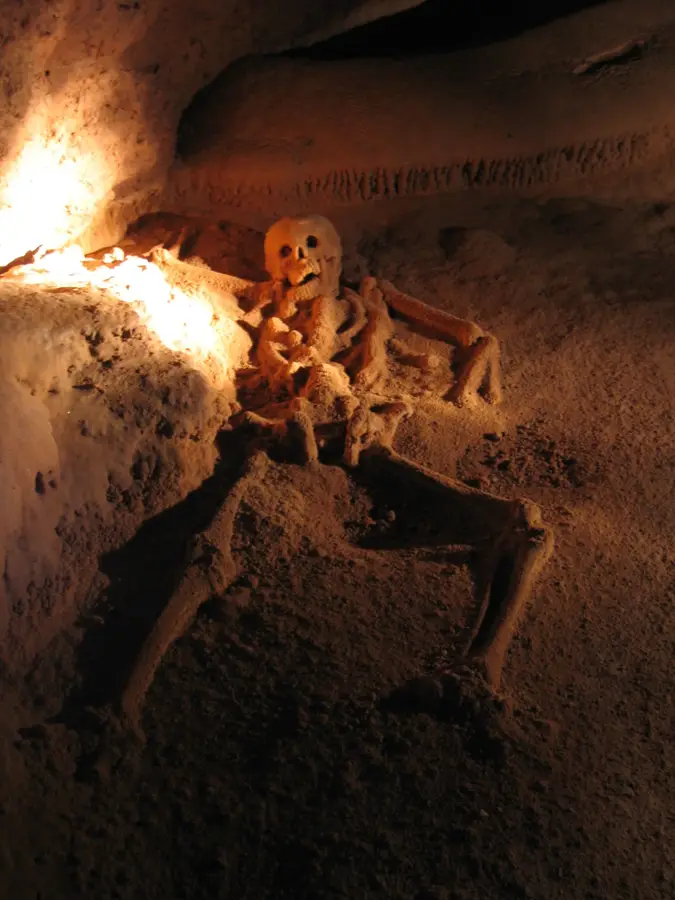
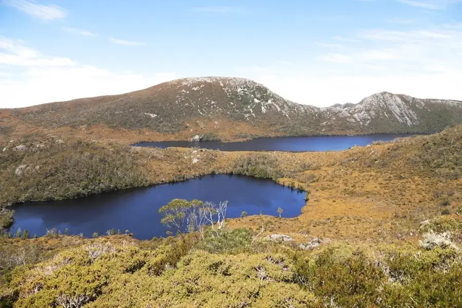
Caracol is the largest Maya archaeological site in Belize, set deep within the Chiquibul Forest Reserve on the Vaca Plateau. At its peak around 650 AD, the city was a colossal metropolis supporting a population of over 140,000 people, significantly larger than modern-day Belize City. The site's most impressive structure is 'Caana' (Sky Place), a massive temple complex that remains the tallest man-made structure in Belize at 140 feet (42 meters). Caracol holds a prominent place in Maya history for its military prowess, most notably its decisive victory over the superpower Tikal in 562 AD, an event recorded on Altar 21. The urban center was supported by an incredibly sophisticated system of agricultural terraces and an extensive network of causeways (sacbeob) stretching for miles. Discovered by a mahogany logger in 1937, Caracol continues to be a focal point for archaeological research into Maya urbanism and political hierarchy. Its remote location near the Guatemalan border preserves a rich surrounding ecosystem of jaguars, scarlet macaws, and tapirs.
- Location: Belize
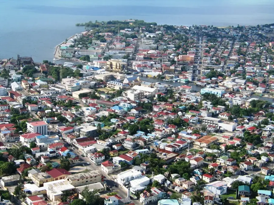
- Nearby: San Ignacio (4 km)
Best time to visit & climate
The most pleasant time to visit is Jan–Mar.
| Jan | Feb | Mar | Apr | May | Jun | Jul | Aug | Sep | Oct | Nov | Dec | |
|---|---|---|---|---|---|---|---|---|---|---|---|---|
| Avg °C | 21 | 22 | 24 | 26 | 26 | 25 | 25 | 25 | 25 | 24 | 22 | 22 |
| Rain mm | 110 | 66 | 58 | 40 | 127 | 240 | 175 | 197 | 225 | 251 | 200 | 137 |
📋 Practical info
History & landmarks
Classical
600
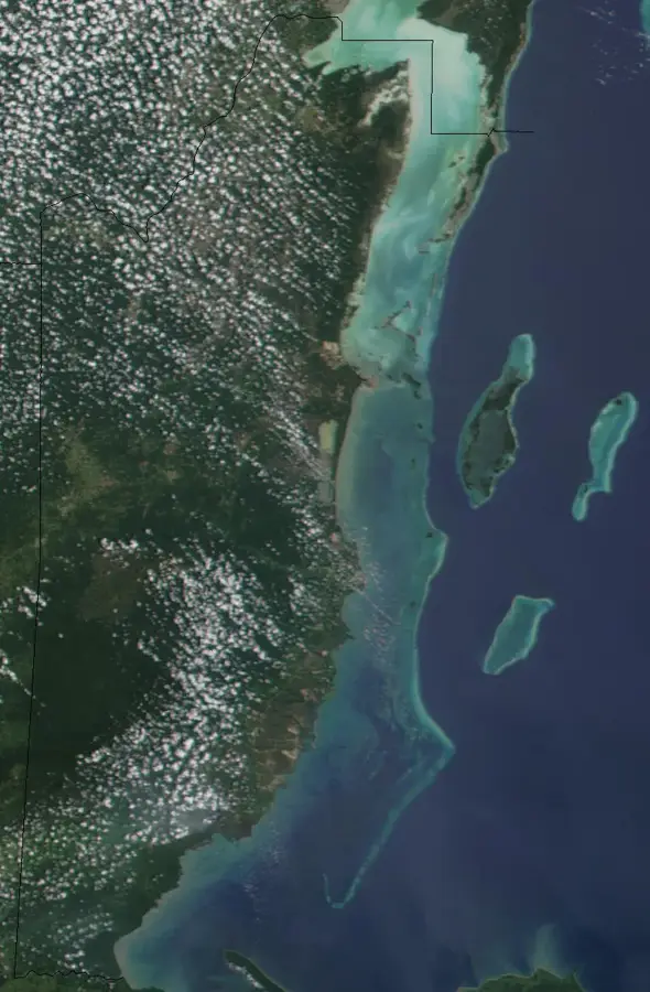
Geography
Facts
- The Caana pyramid is Belize's tallest structure at 42 meters.
- Peak population estimated at more than 140,000 residents.
- Conquered the city of Tikal in a major war in 562 AD.
- Site covers roughly 77 square miles (200 square kilometers).
- Discovered in 1937 by a logger named Rosa Mai.
- Includes over 35,000 documented archaeological features.
Explore nearby
Notable places around
Route planner — Car & Motorhome
Where do you start? We build the route here, with stops and country notes along the way.
© OpenStreetMap contributors · OpenRouteService
Sights nearby
Frequently asked questions
Is Caracol the largest Maya site?
Do you need a special car?
Is there a military escort?
How high is Caana?
How long is the drive from San Ignacio?
Caracol: where is it located?
Caracol: when is the best time to visit?
Caracol: why is it worth visiting?

Nearby cities

History & landmarks
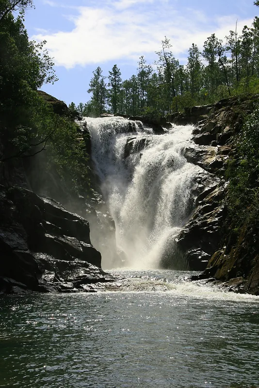
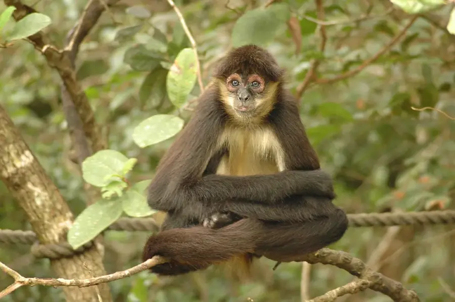
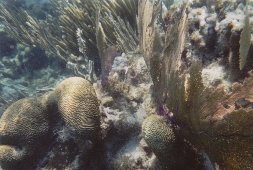
Nature
More places