Plizio Visual Lab
Dolores Highlands

Weather…
Water temperature…
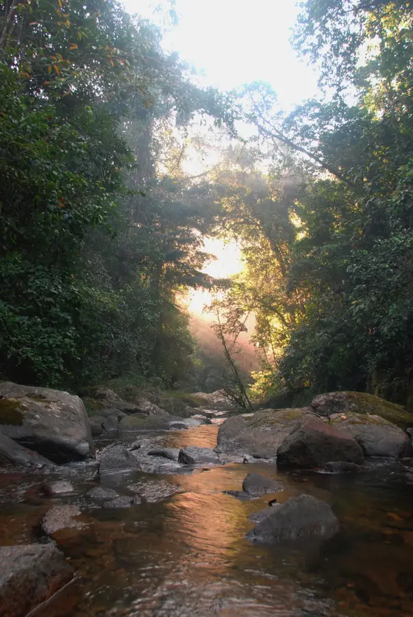
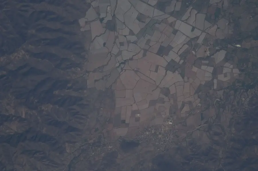
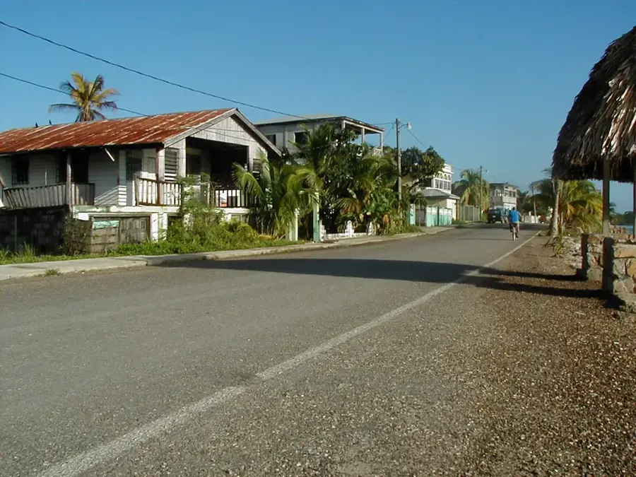
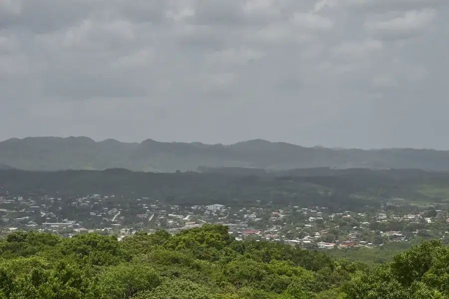
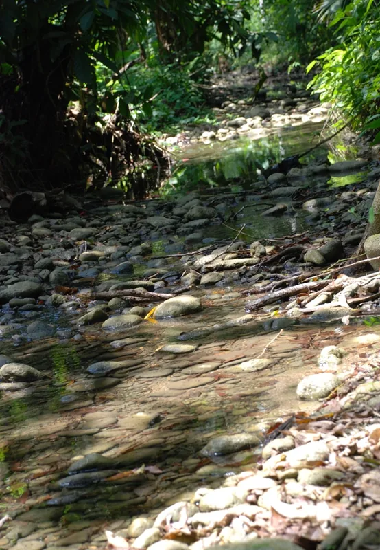
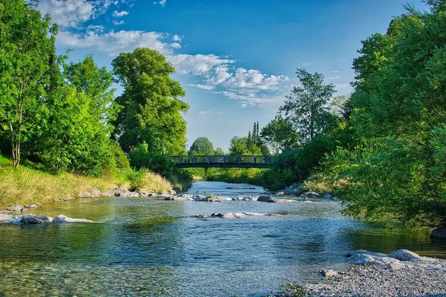
The Dolores Highlands, part of the greater Maya Mountains range, form a rugged and sparsely populated upland area in western Belize, near the Guatemalan border. This region is defined by its steep, forested slopes and a complex network of narrow valleys carved by seasonal streams. Composed of ancient sedimentary and metamorphic rocks, the highlands are a vital watershed, feeding into several important river systems, including the Belize River. The area remains largely undeveloped, preserving a significant expanse of broadleaf tropical forest that serves as a crucial corridor for wildlife. Its remoteness has protected it from extensive logging, making it a key area for biodiversity, although it faces increasing pressure from agricultural encroachment and illegal cross-border activities. The highlands are a testament to Belize's wild, untamed interior.
- Location: Belize
- Nearby: Crique Sarco (6 km)
Best time to visit & climate
The most pleasant time to visit is Feb–Apr.
| Jan | Feb | Mar | Apr | May | Jun | Jul | Aug | Sep | Oct | Nov | Dec | |
|---|---|---|---|---|---|---|---|---|---|---|---|---|
| Avg °C | 23 | 24 | 25 | 27 | 28 | 27 | 26 | 27 | 27 | 26 | 24 | 23 |
| Rain mm | 121 | 82 | 68 | 48 | 130 | 240 | 191 | 205 | 237 | 252 | 217 | 143 |
📋 Practical info
Geography
Explore nearby
Notable places around
Route planner — Car & Motorhome
Where do you start? We build the route here, with stops and country notes along the way.
© OpenStreetMap contributors · OpenRouteService
Sights nearby
Frequently asked questions
Where are the Dolores Highlands?
What kind of terrain can be expected there?
Is the region often visited by tourists?
Which communities live there?
Is a trip there difficult?
Dolores Highlands: where is it located?
Dolores Highlands: when is the best time to visit?
Dolores Highlands: why is it worth visiting?

Nearby cities


Nature
More places