Plizio Visual Lab
Cerro Cucurucho

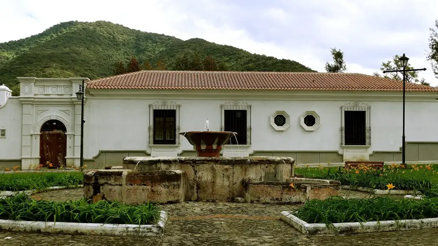
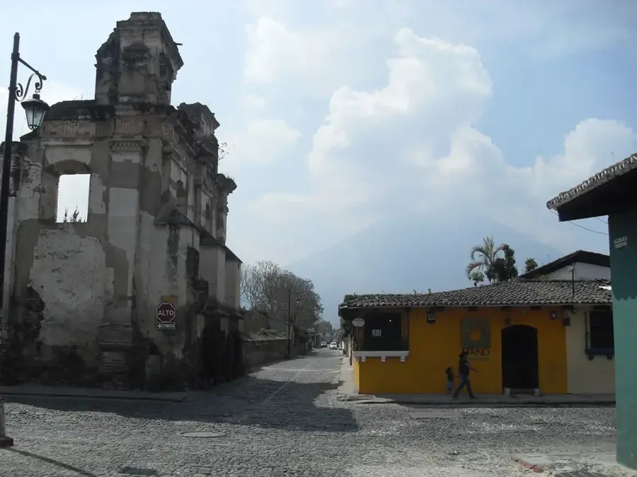
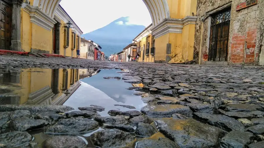
Cerro Cucurucho is a significant mountain peak in the central highlands of Guatemala, located in the Sacatepéquez Department near Antigua Guatemala. Standing at approximately 2,660 meters above sea level, it is one of the highest points in the immediate vicinity of the Panchoy Valley. The name 'Cucurucho' often refers in local usage to the conical shape of the summit or to the traditional pointed hoods worn by penitents during Holy Week. Geologically, the mountain consists of old volcanic deposits that are no longer active but contribute to the region's fertile soils. The slopes are partially forested, though they are increasingly used for terrace farming of coffee and vegetables. It gives an excellent vantage point for viewing the three large volcanoes: Agua, Fuego, and Acatenango. Scientifically, Cerro Cucurucho is of interest for studying microclimates and observing birds of prey that utilize the valley's thermal winds.
- Location: Guatemala
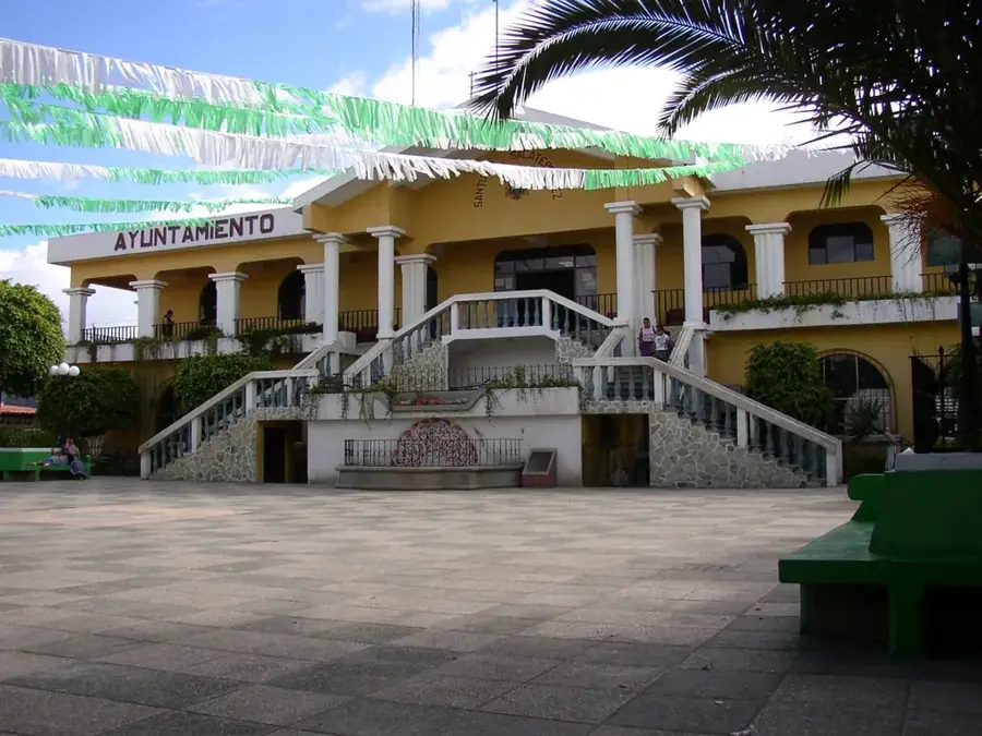
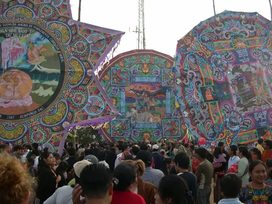
- Nearby: Santiago Sacatepéquez (4 km)
Best time to visit & climate
The most pleasant time to visit is Jan–Mar.
| Jan | Feb | Mar | Apr | May | Jun | Jul | Aug | Sep | Oct | Nov | Dec | |
|---|---|---|---|---|---|---|---|---|---|---|---|---|
| Avg °C | 19 | 21 | 22 | 23 | 23 | 22 | 21 | 21 | 21 | 20 | 19 | 19 |
| Rain mm | 5 | 7 | 12 | 41 | 163 | 225 | 172 | 223 | 243 | 191 | 43 | 8 |
📋 Practical info
Geography
Facts
- The summit elevation is approximately 2,660 meters above sea level.
- The mountain is located within the Sacatepéquez Department.
- It forms the natural eastern boundary of the Panchoy Valley.
- High-quality highland coffee is cultivated on its slopes.
- The name is derived from the Spanish word for 'conical hood'.
- There are hiking trails that reach the summit from Antigua in about 3 hours.
Explore nearby
Notable places around
Route planner — Car & Motorhome
Where do you start? We build the route here, with stops and country notes along the way.
© OpenStreetMap contributors · OpenRouteService
Sights in the town Cerro Cucurucho (1)
Sights nearby
Frequently asked questions
Where is Cerro Cucurucho located?
Can you reach the summit on foot?
How is the view from the top?
Is the trail marked?
Are there restrooms up there?
Cerro Cucurucho: where is it located?
Cerro Cucurucho: when is the best time to visit?
Cerro Cucurucho: why is it worth visiting?

Nearby cities
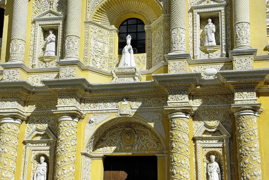
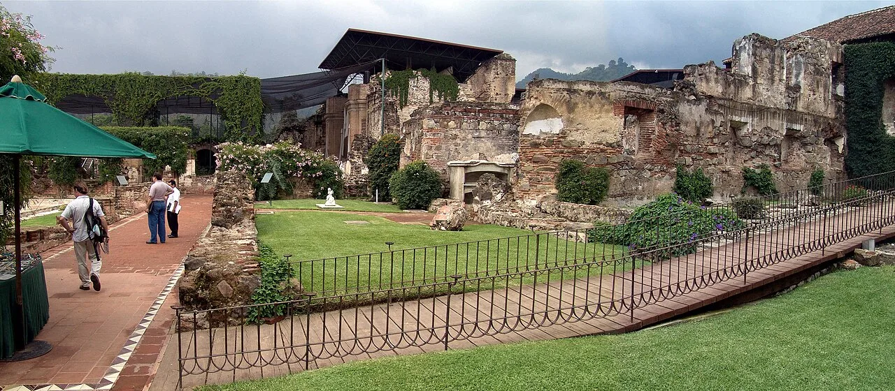
History & landmarks

More places