Plizio Visual Lab
Pacaya Volcano
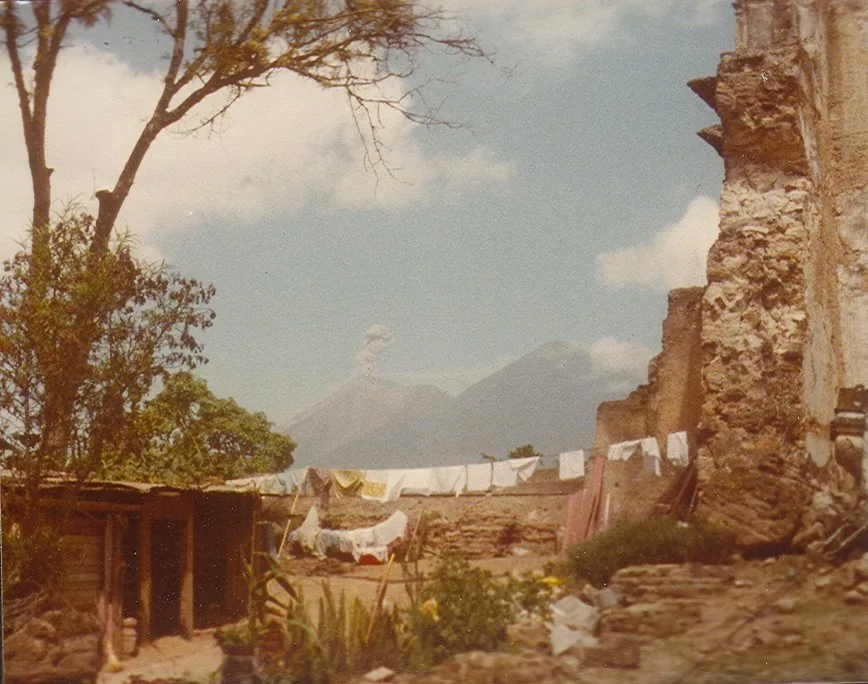
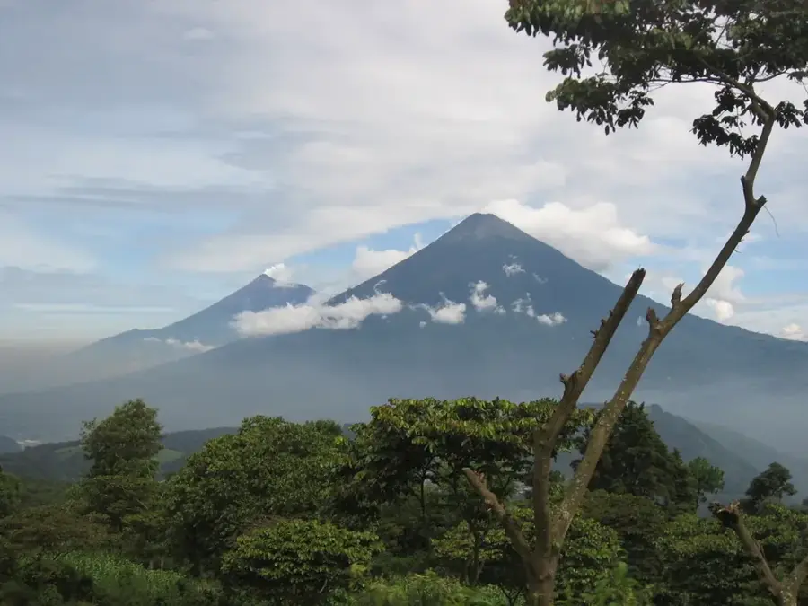
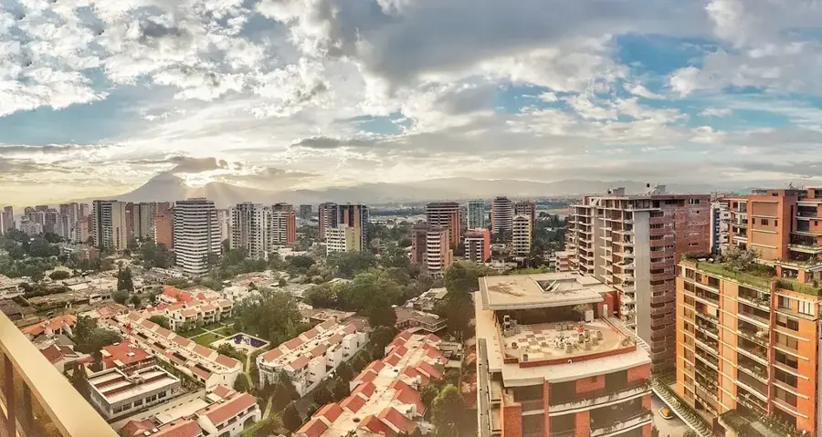
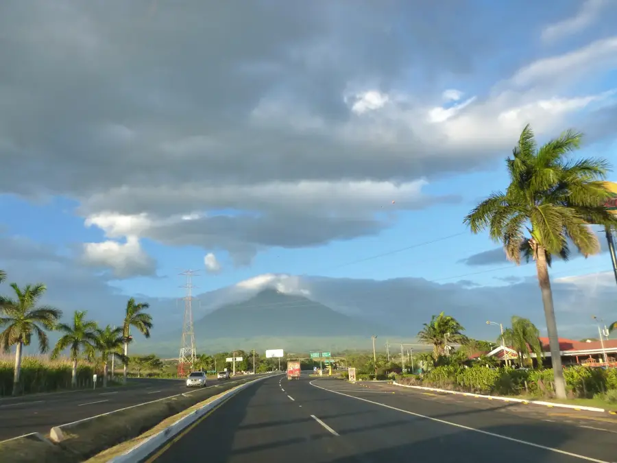
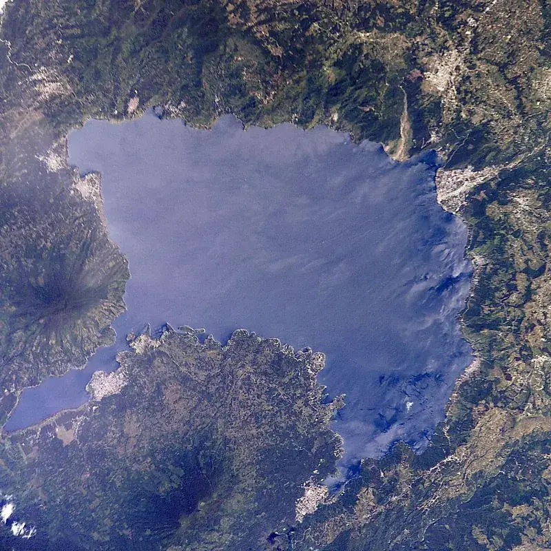
Pacaya is an active complex volcano in Guatemala, situated approximately 30 kilometers south of Guatemala City and close to the colonial town of Antigua. Standing at 2,552 meters, it is one of the country's most accessible and frequently climbed volcanoes. After a dormancy period lasting nearly a century, Pacaya erupted violently in 1965 and has remained in a state of near-constant activity ever since. Its eruptions are typically Strombolian, characterized by ash plumes and consistent lava flows that reshape the landscape. Hiking trails to the summit area traverse surreal, pitch-black fields of dried lava from past events. A popular and unique tradition for visitors is toasting marshmallows over the intense heat emanating from volcanic vents in the rock. On clear days, the volcano has spectacular views of Lake Amatitlán and the distant peaks of Agua, Fuego, and Acatenango. Despite its accessibility and status as a major tourist draw, Pacaya remains a volatile natural hazard, often requiring evacuations of nearby residents during increased activity. It is protected within a designated National Park focused on geological preservation and visitor safety.
- Location: Guatemala
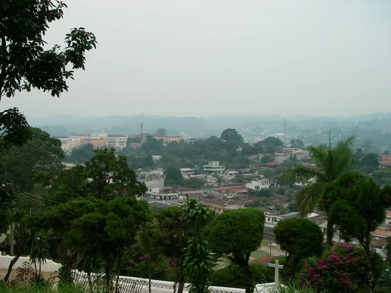
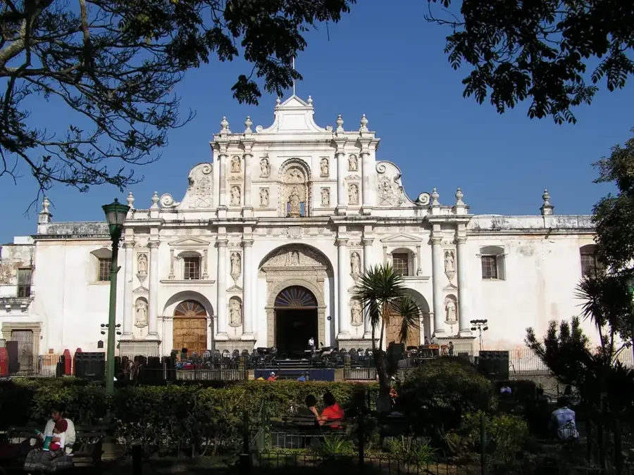
- Nearby: Santiago Sacatepéquez (9 km)
Best time to visit & climate
The most pleasant time to visit is Jan–Mar.
| Jan | Feb | Mar | Apr | May | Jun | Jul | Aug | Sep | Oct | Nov | Dec | |
|---|---|---|---|---|---|---|---|---|---|---|---|---|
| Avg °C | 19 | 21 | 22 | 23 | 23 | 22 | 21 | 21 | 21 | 20 | 19 | 19 |
| Rain mm | 5 | 7 | 12 | 41 | 163 | 225 | 172 | 223 | 243 | 191 | 43 | 8 |
📋 Practical info
Geography
Facts
- Reactivated in 1965 after a period of 100 years of dormancy
- Located just 30 kilometers south of Guatemala's capital city
- Famous for trekking across recent, still-warm lava flows
- Part of a complex volcanic system featuring multiple craters
- Visitors frequently toast marshmallows over active volcanic vents
- Offers a clear vantage point of Lake Amatitlán and Agua volcano
Explore nearby
Notable places around
Route planner — Car & Motorhome
Where do you start? We build the route here, with stops and country notes along the way.
© OpenStreetMap contributors · OpenRouteService
Sights in the town Pacaya Volcano (1)
Sights nearby
Frequently asked questions
How difficult is the hike?
Can you really see the lava?
What should I wear?
Is a guide necessary?
Is there food available there?
Pacaya Volcano: where is it located?
Pacaya Volcano: when is the best time to visit?
Pacaya Volcano: why is it worth visiting?

Nearby cities

History & landmarks

Nature
More places