Plizio Visual Lab
Earthquake of 1773
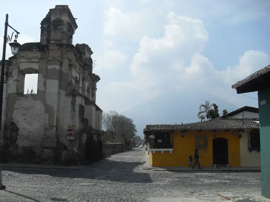
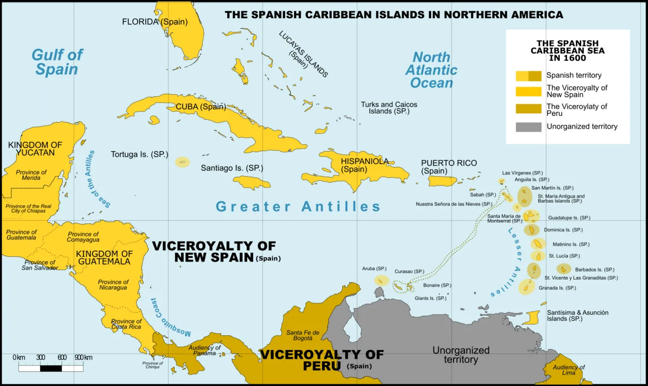
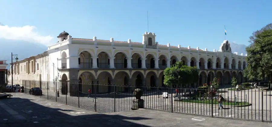
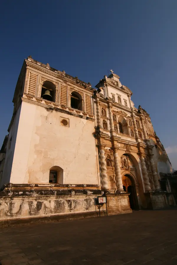
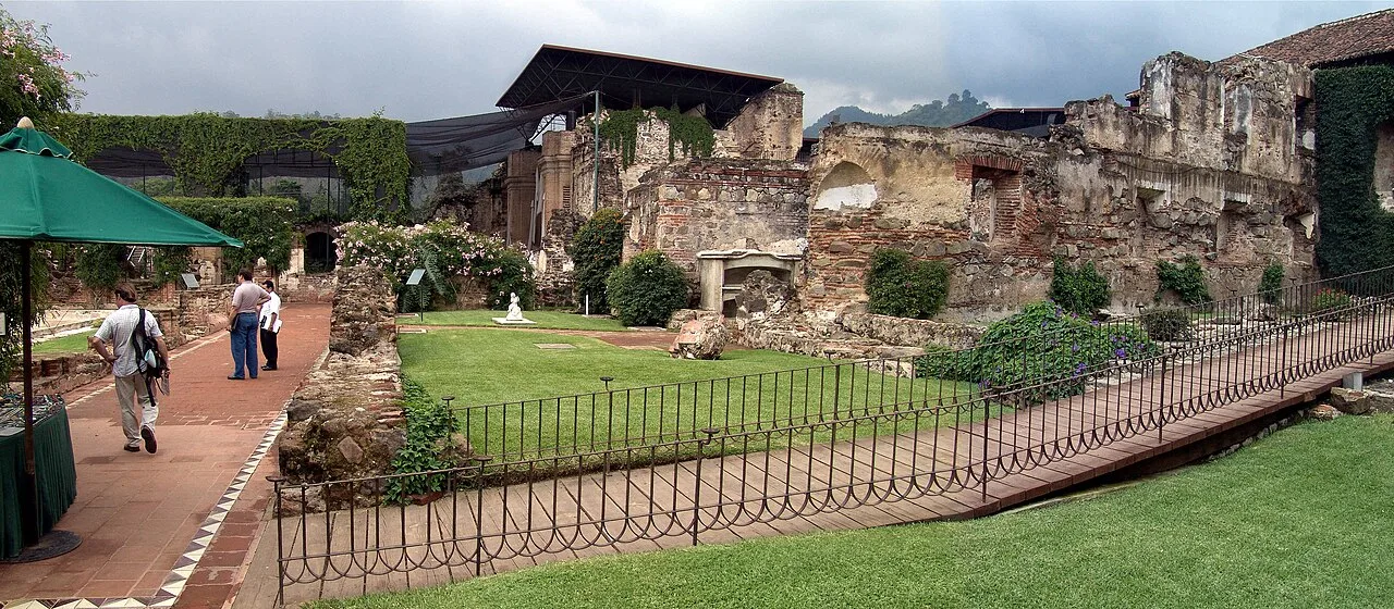
The Earthquake of 1773, historically known as the Santa Marta earthquakes, was a series of catastrophic seismic events that almost completely leveled Santiago de los Caballeros (now Antigua Guatemala), then the capital of the Captaincy General of Guatemala. The most destructive tremors occurred on July 29, 1773, causing the collapse of grand churches, monasteries, and administrative buildings. Due to the extent of the damage and the perceived threat of future disasters, the Spanish Crown, urged by Captain General Martín de Mayorga, ordered the relocation of the capital to a safer location. This decision led to the 1776 founding of La Nueva Guatemala de la Asunción in the Ermita Valley, which is modern-day Guatemala City. In Antigua, the skeletal ruins remained as silent witnesses to the tragedy, giving the city its distinctive historical atmosphere. The event not only shifted the center of power but also ended Antigua's golden age as the political heart of Central America.
- Location: Guatemala
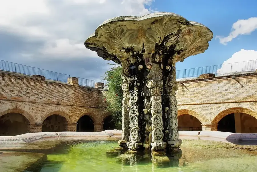
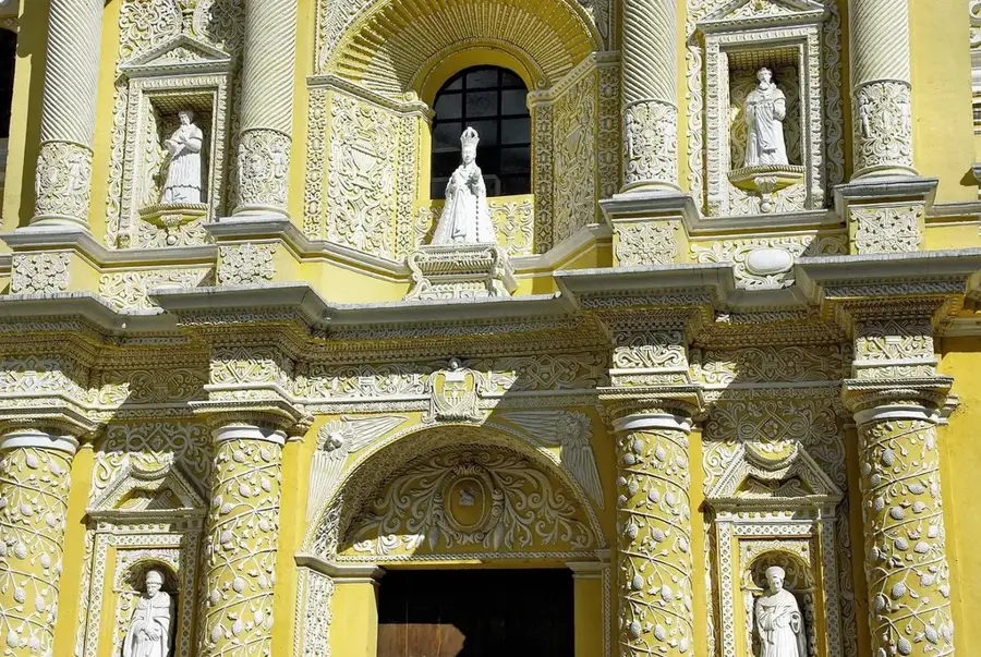
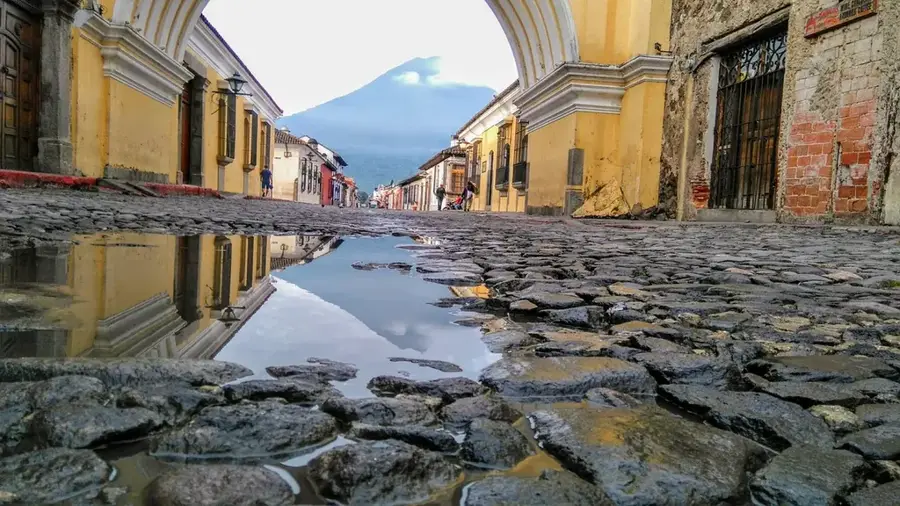
- Top sights: Iglesia de San Francisco, Antigua Guatemala · Palacio de los Capitanes Generales, Antigua Guatemala · National Museum of Guatemalan Art
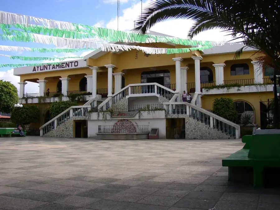
- Nearby: Santiago Sacatepéquez (5 km)
Best time to visit & climate
The most pleasant time to visit is Jan–Mar.
| Jan | Feb | Mar | Apr | May | Jun | Jul | Aug | Sep | Oct | Nov | Dec | |
|---|---|---|---|---|---|---|---|---|---|---|---|---|
| Avg °C | 19 | 21 | 22 | 23 | 23 | 22 | 21 | 21 | 21 | 20 | 19 | 19 |
| Rain mm | 5 | 7 | 12 | 41 | 163 | 225 | 172 | 223 | 243 | 191 | 43 | 8 |
📋 Practical info
Geography
Facts
- The primary earthquake occurred on the feast day of Saint Martha, July 29.
- The magnitude is estimated to have been around 7.5 on the Richter scale.
- Over 3,000 structures in the city were severely damaged or destroyed.
- The official decree to move the capital was issued in 1775.
- Antigua remained largely deserted for nearly a century after the evacuation.
- The preserved ruins are now part of a designated UNESCO World Heritage site.
Explore nearby
Notable places around
Route planner — Car & Motorhome
Where do you start? We build the route here, with stops and country notes along the way.
© OpenStreetMap contributors · OpenRouteService
Sights in the town Earthquake of 1773 (3)
Sights nearby
Frequently asked questions
What happened during the 1773 earthquake?
What consequence did the quake have for the capital?
Can ruins from this quake still be seen today?
Was it the strongest earthquake in Guatemala's history?
How many people died?
Earthquake of 1773: where is it located?
Earthquake of 1773: what is there to see?
Earthquake of 1773: when is the best time to visit?
Earthquake of 1773: why is it worth visiting?

Nearby cities
History & landmarks

More places