Plizio Visual Lab
Volcán de Agua
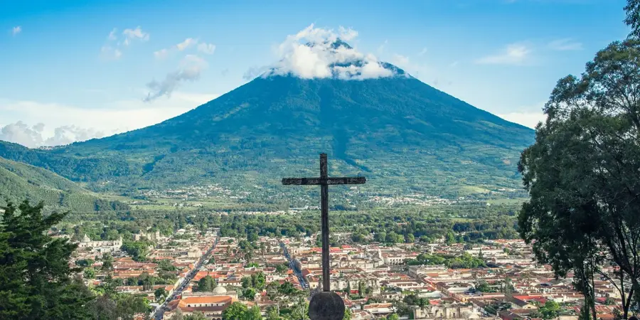
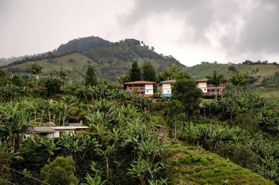
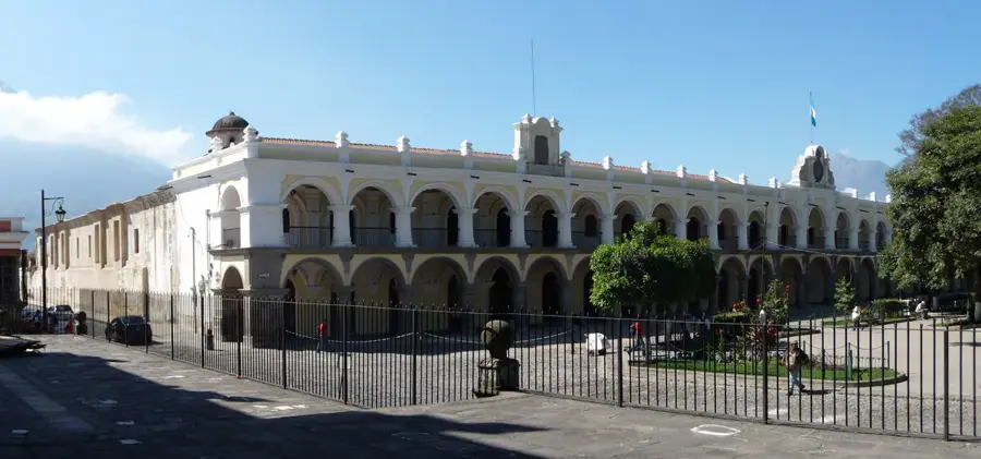
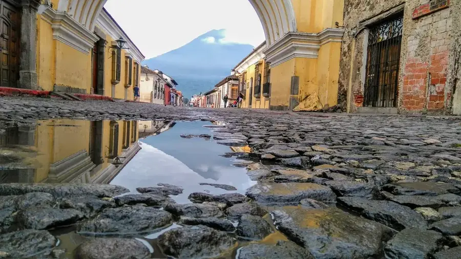
Volcán de Agua, also known by its indigenous name Hunahpú, is a symmetrical stratovolcano that dominates the skyline of Antigua Guatemala. Standing at 3,760 meters above sea level, it is one of the most prominent peaks in the Guatemalan highlands. Although it has not recorded magmatic eruptions since the Holocene epoch, it is historically infamous for the devastating mudflow (lahar) that destroyed the country's first Spanish capital, Ciudad Vieja, on September 11, 1541. This event was triggered by extreme rainfall that released water accumulated within the crater. The volcano's slopes are now intensively farmed, particularly for high-quality coffee at lower elevations and vegetables in the higher zones. The summit features sweeping panoramic views of the neighboring Fuego and Acatenango volcanoes, as well as the Pacific coast on clear days.
- Location: Guatemala
- Nearby: Iztapa (4 km)
Best time to visit & climate
The most pleasant time to visit is Jan–Mar.
| Jan | Feb | Mar | Apr | May | Jun | Jul | Aug | Sep | Oct | Nov | Dec | |
|---|---|---|---|---|---|---|---|---|---|---|---|---|
| Avg °C | 19 | 21 | 22 | 23 | 23 | 22 | 21 | 21 | 21 | 20 | 19 | 19 |
| Rain mm | 5 | 7 | 12 | 41 | 163 | 225 | 172 | 223 | 243 | 191 | 43 | 8 |
📋 Practical info
Geography
Facts
- The base of the volcano has a diameter of approximately 15 kilometers.
- Its crater is circular and measures about 280 meters in diameter.
- The volcano is considered extinct, as no fumarolic activity is observed.
- The ascent to the summit takes about 4 to 5 hours for experienced hikers.
- It forms a prominent trio along with the Fuego and Acatenango volcanoes.
- In 1956, the area was declared a national park.
Explore nearby
Notable places around
Route planner — Car & Motorhome
Where do you start? We build the route here, with stops and country notes along the way.
© OpenStreetMap contributors · OpenRouteService
Sights nearby
Frequently asked questions
Is Volcán de Agua still active?
How long does the climb take?
Do I need a guide?
Where does the hike start?
Is it cold at the summit?
Volcán de Agua: where is it located?
Volcán de Agua: when is the best time to visit?
Volcán de Agua: why is it worth visiting?

Nearby cities
History & landmarks

More places