Plizio Visual Lab
San Andrés Xecul
ℹ️Practical info — San Andrés Xecul
▾
🌤 Weather — 5 days
📍 Nearby
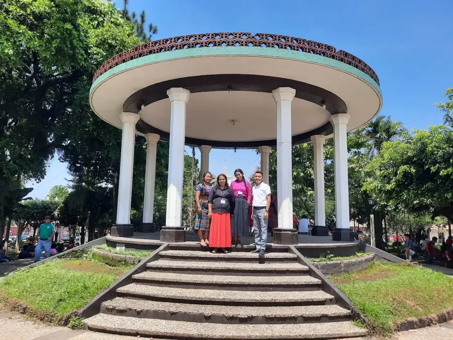
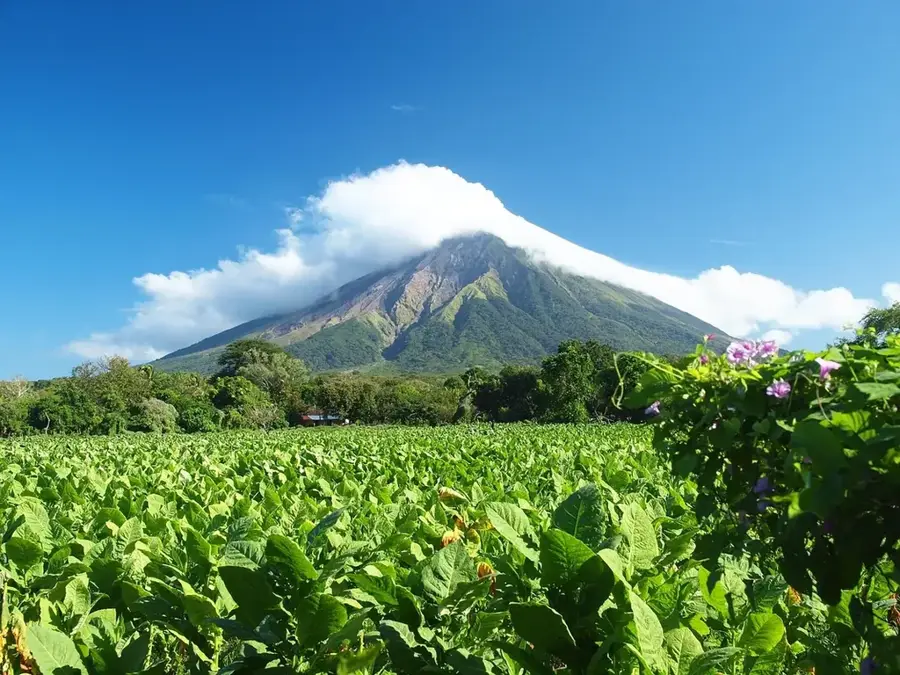
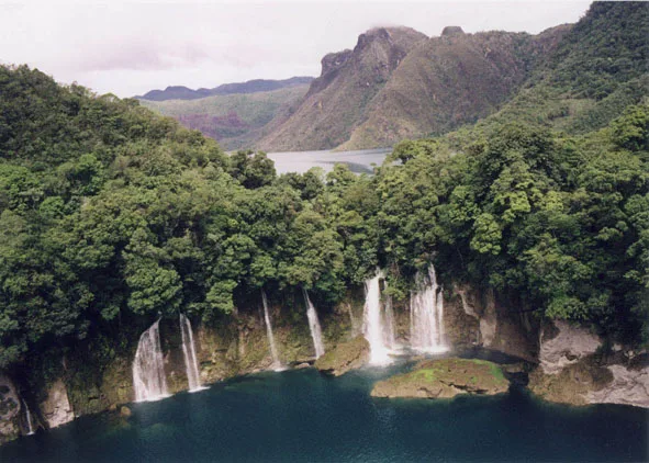
Sights nearby
💡 Tips
- Visit the colorful church in the morning when the sunlight best highlights its bright yellow facade.
- Respect local customs, as the church and surrounding areas blend Maya and Catholic beliefs (do not photograph ceremonies without permission).
- Combine your visit with a trip from Quetzaltenango (Xela), as the local 'chicken buses' are cheap and frequent.
- Wear comfortable shoes, as the streets leading up to the church are extremely steep.
🍽 Food
On market days, look for street stalls or small comedores serving this rich Maya meat stew.
Around the central plaza, you will often find vendors selling freshly grilled, hot corn on the cob.
Try this hot, sweet corn beverage on chilly mornings, usually sold right near the church.
🛍 Shopping · 🧘 Quiet spots
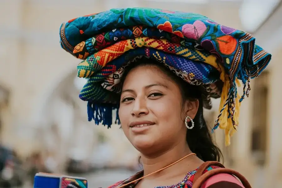
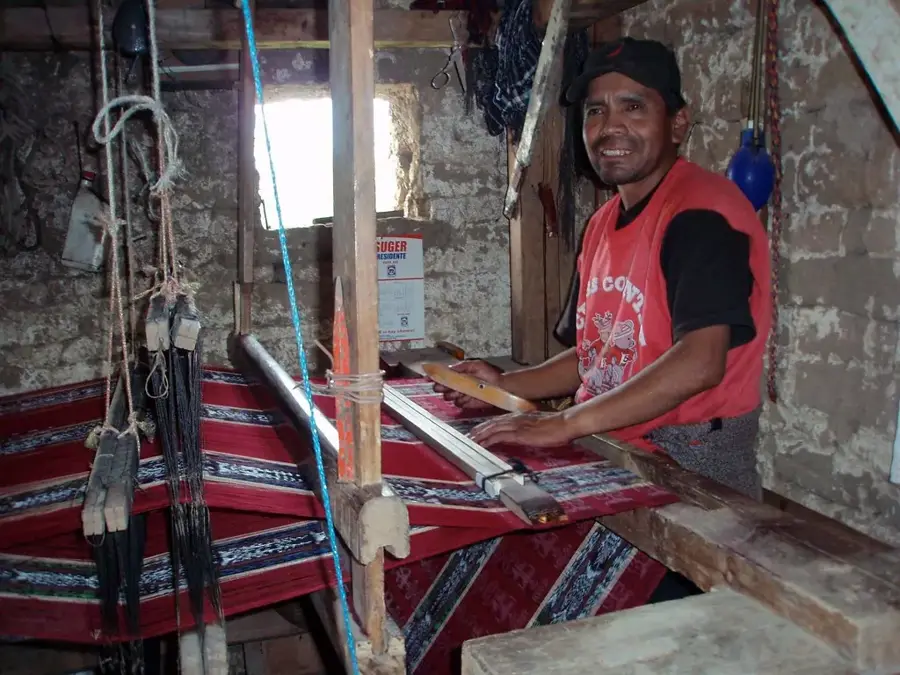
Look for small workshops in the side alleys where you can purchase colorful cortes (skirts) and huipiles (blouses).
On market days around the plaza, you can find fresh agricultural produce and simple handmade jewelry.
Walk up the steep path behind the church to a small chapel for a gorgeous panoramic view over the valley.
When there are no masses or festivities going on, the space in front of the church is a peaceful spot to rest.
Water temperature…
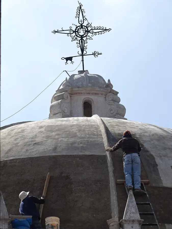
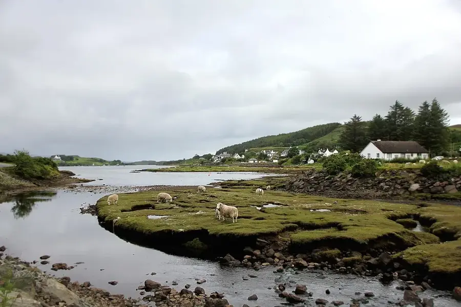
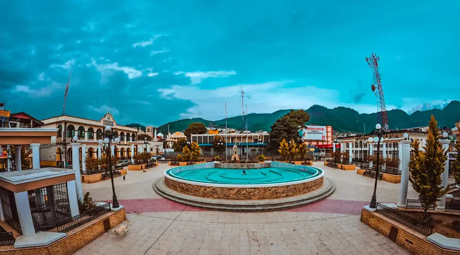
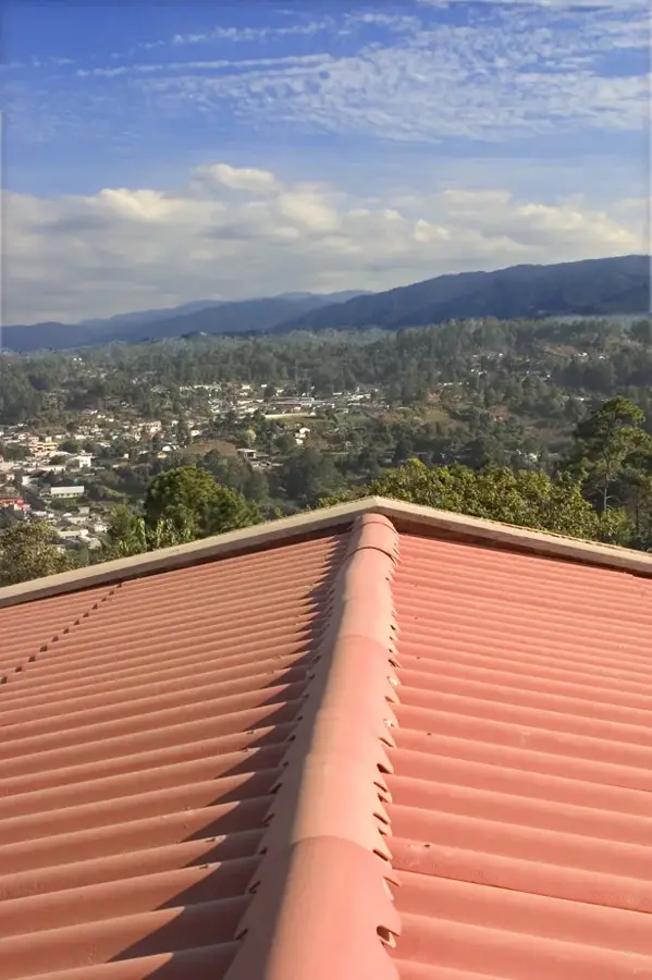
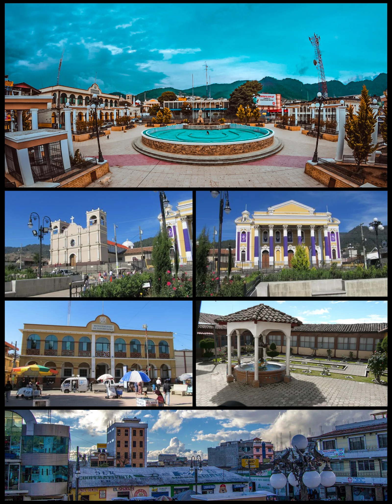
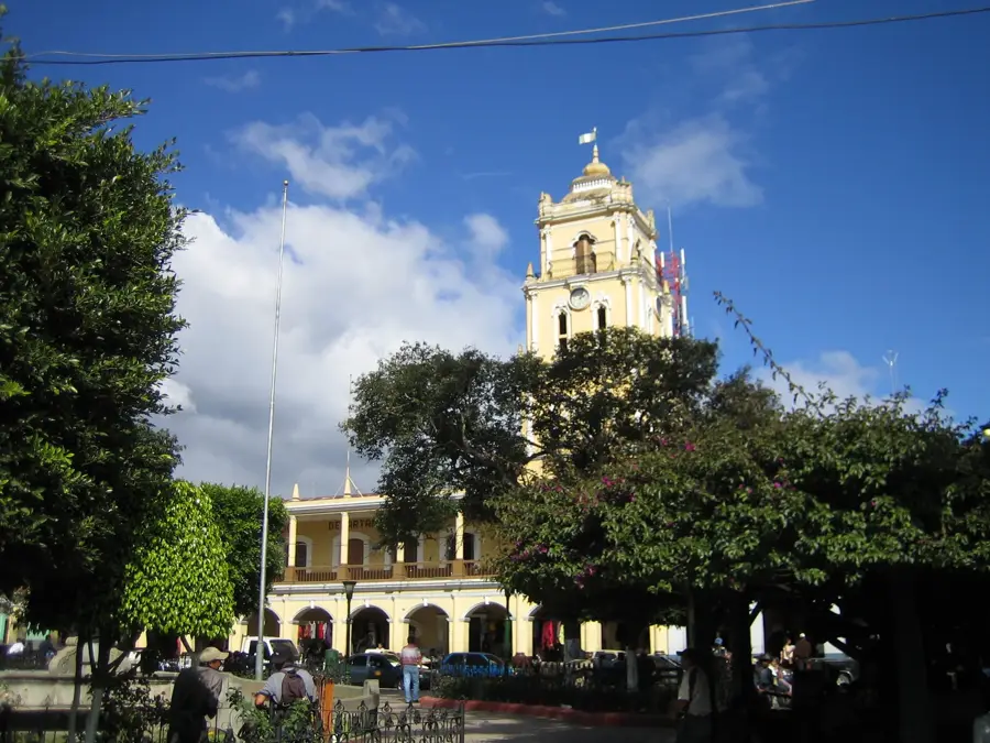
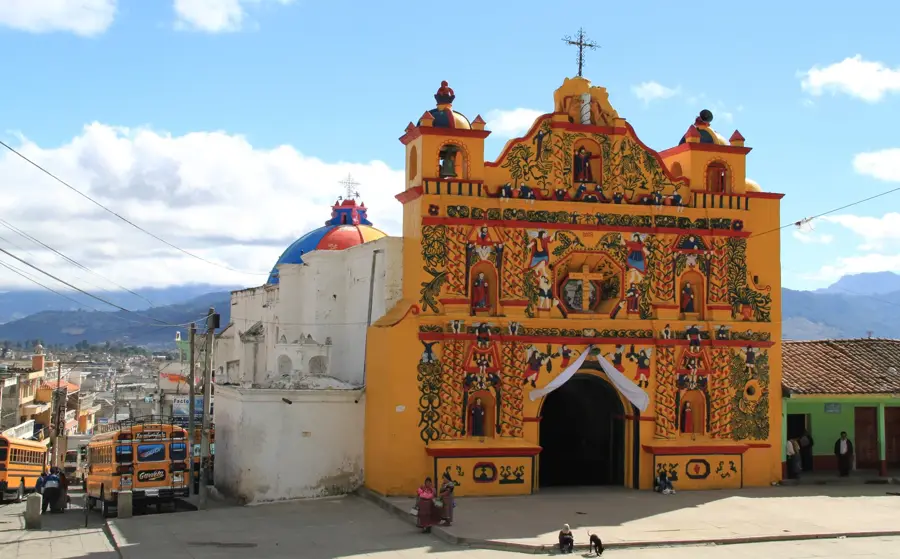
San Andrés Xecul is a municipality in the Totonicapán Department, situated at an altitude of approximately 2,430 meters in the western highlands of Guatemala. The town is globally renowned for its 16th-century parish church, whose bright yellow facade is adorned with over 200 colorful figures of saints, angels, flowers, and animals. This architectural design is considered one of the most significant examples of religious syncretism between the Catholic faith and indigenous K'iche' Mayan cosmology. The local economy is primarily based on agriculture and the production of traditional textiles, with residents known for their hand-woven fabrics. In addition to the main church, the town hosts several sacred sites on the surrounding hills where Mayan rituals are still practiced today. Its topographical location features wide views over the Quetzaltenango valley and dictates the region's cool mountain climate.
- Location: Guatemala
- Top sights: Castillo El Carmen · Lagunita - 10Q · Mirador Del Cementerio
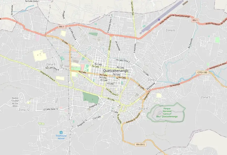
- Nearby: San Cristóbal Totonicapán (6 km)
- Population: ~15.074 (2023)
Best time to visit & climate
The most pleasant time to visit is Feb–Apr.
| Jan | Feb | Mar | Apr | May | Jun | Jul | Aug | Sep | Oct | Nov | Dec | |
|---|---|---|---|---|---|---|---|---|---|---|---|---|
| Avg °C | 13 | 14 | 16 | 17 | 17 | 16 | 16 | 16 | 16 | 16 | 14 | 14 |
| Rain mm | 6 | 7 | 22 | 63 | 217 | 315 | 226 | 289 | 353 | 291 | 58 | 10 |
Geography
Facts
- The town is situated at an elevation of 2,430 meters above sea level.
- There are over 200 handcrafted sculptures on the church facade.
- The majority of the population belongs to the K'iche' Mayan ethnic group.
- The town celebrates its patronal feast annually on November 30th.
- The church of San Andrés Xecul originally dates from the 16th century.
- The area is noted for the production of ponchos and wool textiles.
Explore nearby
Notable places around
Route planner — Car & Motorhome
Where do you start? We build the route here, with stops and country notes along the way.
© OpenStreetMap contributors · OpenRouteService
Sights in the town San Andrés Xecul (3)
Frequently asked questions
Why is the church of San Andrés Xecul so famous?
Can you visit the interior of the church?
What else can you see besides the church?
How do you get there from Quetzaltenango?
When is the patron saint festival?
San Andrés Xecul: where is it located?
San Andrés Xecul: what is there to see?
San Andrés Xecul: when is the best time to visit?
San Andrés Xecul: why is it worth visiting?

Nearby cities

History & landmarks
Nature
More places