Plizio Visual Lab
Siete Orejas Volcano
Weather…
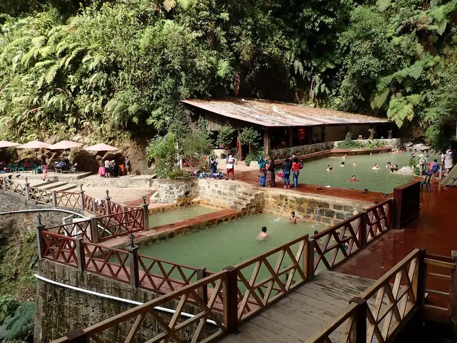
Water temperature…
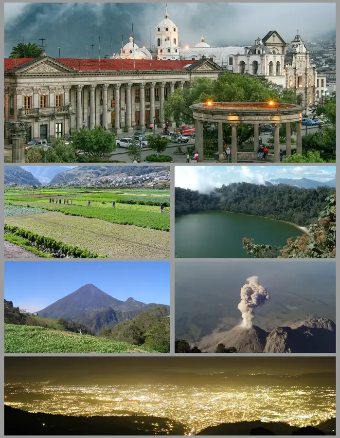
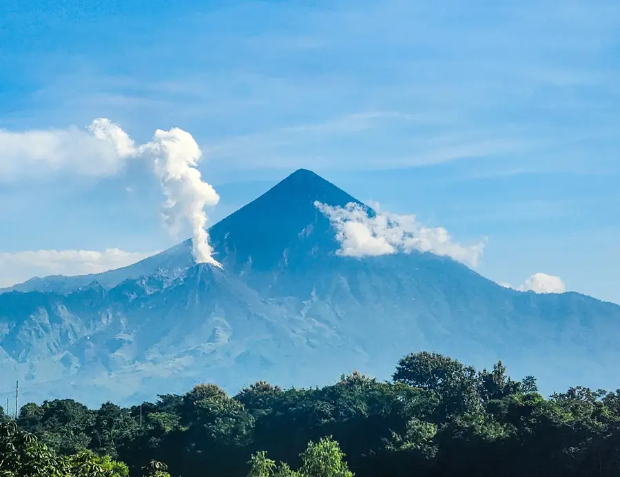
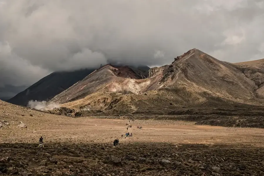
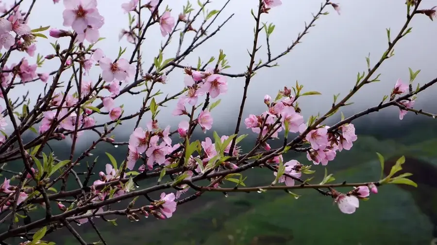
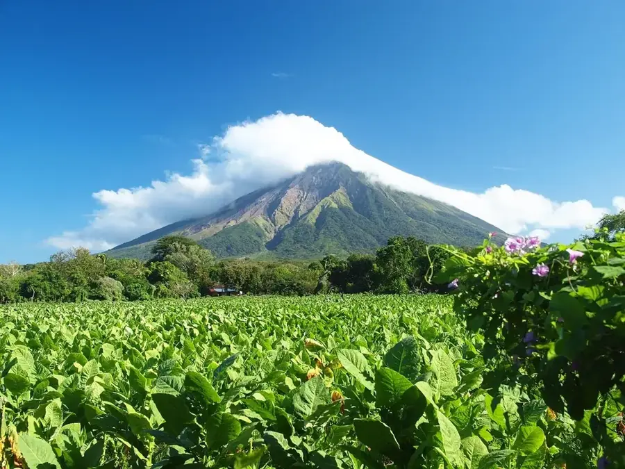
Siete Orejas Volcano, located in the Quetzaltenango department of western Guatemala, is an impressive extinct volcano standing at 3,370 meters. Its name, which translates to Seven Ears, refers to the seven distinct peaks that form the rim of its vast, horseshoe-shaped crater. Geologically, the volcano was once significantly higher but collapsed toward the south during a massive eruption, creating the broad caldera seen today. The mountain's slopes are covered with dense coniferous forests, particularly pine and cypress, which serve as an important ecological barrier and watershed for the surrounding Quetzaltenango Valley. For the local Mam Maya population, the volcano is a sacred site where traditional ceremonies are still performed at specific altars to this day. Hikers value the volcano for its spectacular views of the neighboring active Santa María and Santiaguito volcanoes, as well as the Pacific coast in the distance.
- Location: Guatemala
- Top sights: Quetzaltenango Guatemala Temple · La Esperanza, Quetzaltenango
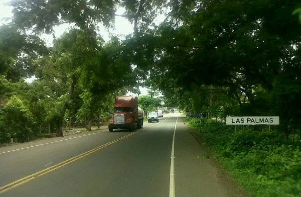
- Nearby: Todos Santos Cuchumatán (6 km)
Best time to visit & climate
The most pleasant time to visit is Feb–Apr.
| Jan | Feb | Mar | Apr | May | Jun | Jul | Aug | Sep | Oct | Nov | Dec | |
|---|---|---|---|---|---|---|---|---|---|---|---|---|
| Avg °C | 13 | 14 | 16 | 17 | 17 | 16 | 16 | 16 | 16 | 16 | 14 | 14 |
| Rain mm | 6 | 7 | 22 | 63 | 217 | 315 | 226 | 289 | 353 | 291 | 58 | 10 |
📋 Practical info
Geography
Facts
- The official peak elevation is 3,370 meters above sea level.
- The crater has a diameter of approximately 3.5 kilometers.
- The volcano is part of the Central America Volcanic Arc.
- The collapse of the caldera occurred several thousand years ago.
- Siete Orejas is situated between the cities of Quetzaltenango and San Marcos.
- The mountain is home to rare bird species such as the highland quetzal.
Explore nearby
Notable places around
Route planner — Car & Motorhome
Where do you start? We build the route here, with stops and country notes along the way.
© OpenStreetMap contributors · OpenRouteService
Sights in the town Siete Orejas Volcano (2)
Sights nearby
Frequently asked questions
Where does the name Siete Orejas come from?
How high is Siete Orejas volcano?
Are there ceremonial sites on the volcano?
How is the view of Santa María volcano?
Is the trail suitable for beginners?
Siete Orejas Volcano: where is it located?
Siete Orejas Volcano: what is there to see?
Siete Orejas Volcano: when is the best time to visit?
Siete Orejas Volcano: why is it worth visiting?

Nearby cities


History & landmarks
Nature
More places