Plizio Visual Lab
Fraijanes
ℹ️Practical info — Fraijanes
▾
🌤 Weather — 5 days
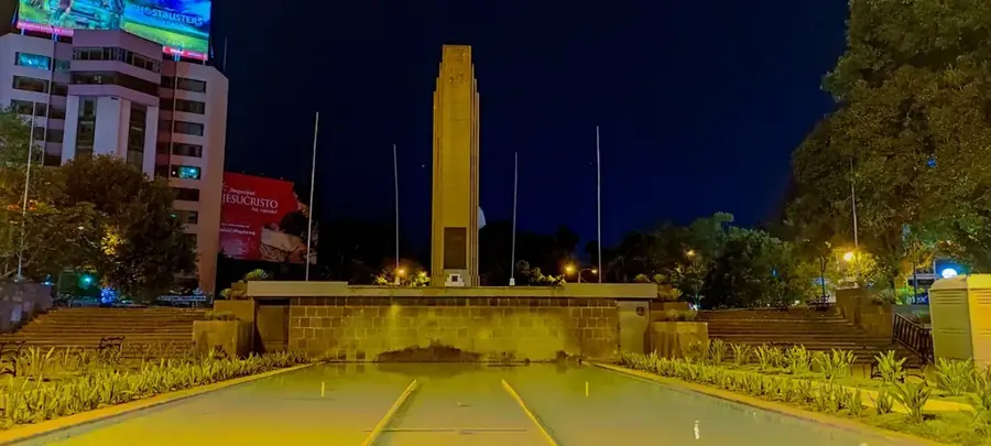
📍 Nearby
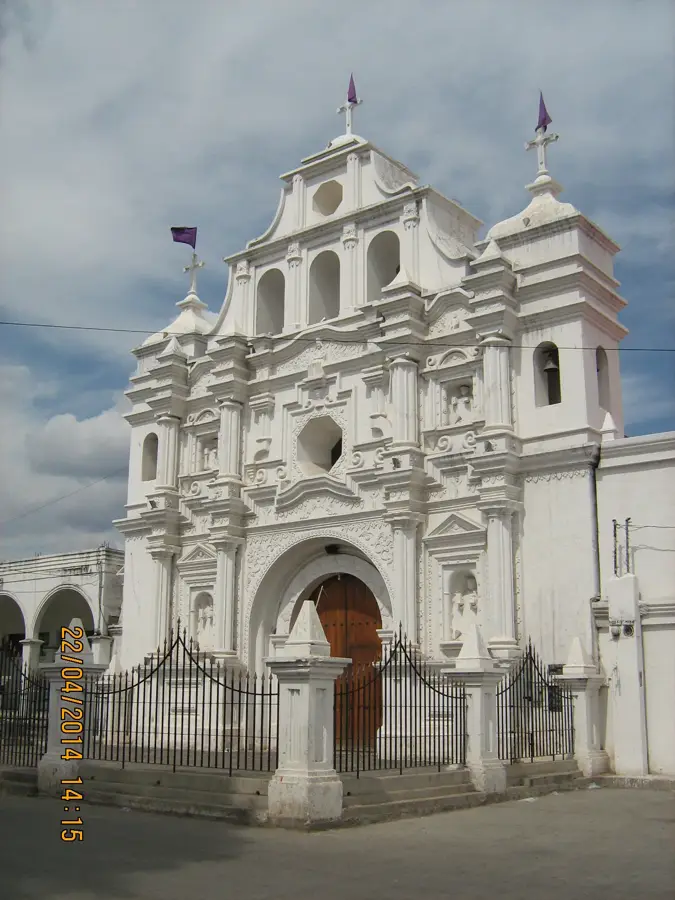
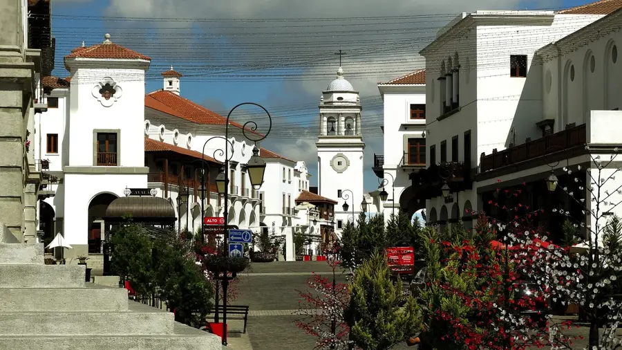
Sights nearby
💡 Tips
- The climate here is noticeably cooler than the coast; bring a light jacket for the evenings.
- Renting a car is the best way to explore the surrounding coffee estates (fincas) at your own pace.
- Traffic heading back to Guatemala City (CA-1) can be brutal during rush hour; plan accordingly.
- Many coffee farms require advance booking for tours; be sure to call ahead.
- Visit on weekends when the local artisanal and farmers markets are most lively.
🍽 Food
The region's Strictly Hard Bean coffee. Drink it directly at the cafes on the local estates.
A hearty, traditional meat stew served in the small comedores right in the town center.
Fresh dairy and cheese are often sold by local farms at stalls along the main roads.
🛍 Shopping · 🧘 Quiet spots
Buy coffee beans directly from the fincas for the best quality and freshness.
Weekend markets in the area often feature beautiful hand-woven goods and crafts.
A peaceful crater lake nearby, well-suited for unwinding away from the capital's hustle.
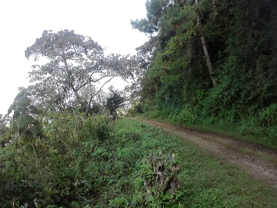
A wooded park with nature trails and picnic areas located just outside of town.
Water temperature…
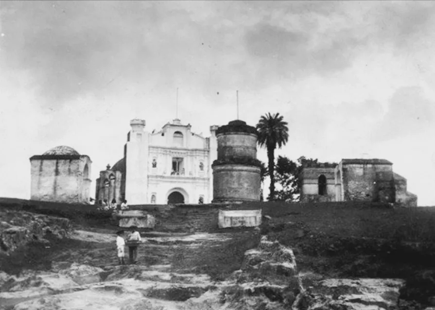
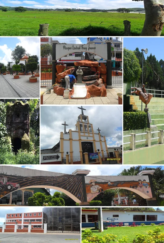
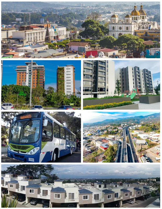
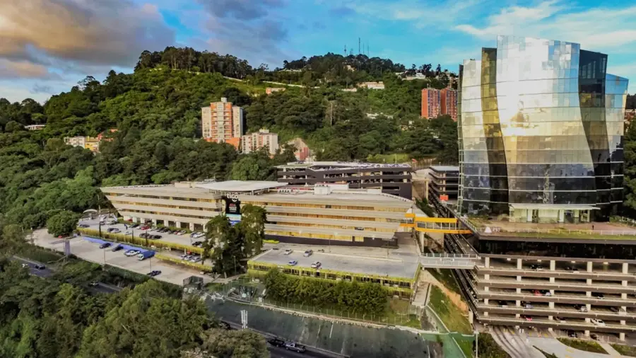
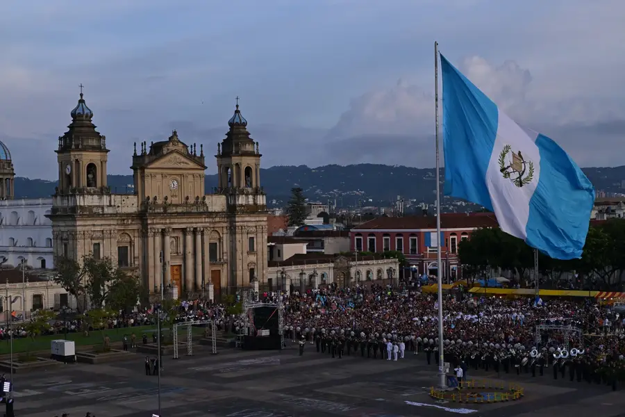
Fraijanes is a dynamic municipality in the Guatemala Department, located south of the capital city along the major highway connecting to El Salvador. The town's name is derived from 'Frailes Juanes,' referring to the Dominican monks Juan de Almolonga and Juan de Godoy, who held rural estates here in the 18th century. Fraijanes was officially established as a municipality on July 12, 1924. Geographically, the town sits on a high plateau at an elevation of about 1600 meters, providing well-suited conditions for the cultivation of high-quality coffee. The 'Fraijanes Plateau coffee' is internationally renowned for its quality and distinct aroma. In recent decades, Fraijanes has undergone a massive transformation: once a purely agricultural village, it has become a preferred residential area for the capital's affluent population. Modern housing developments, prestigious private schools, and exclusive shopping centers now characterize much of the municipality. Despite urbanization, coffee production continues to play an important cultural and economic role in the lives of its residents.
- Location: Guatemala
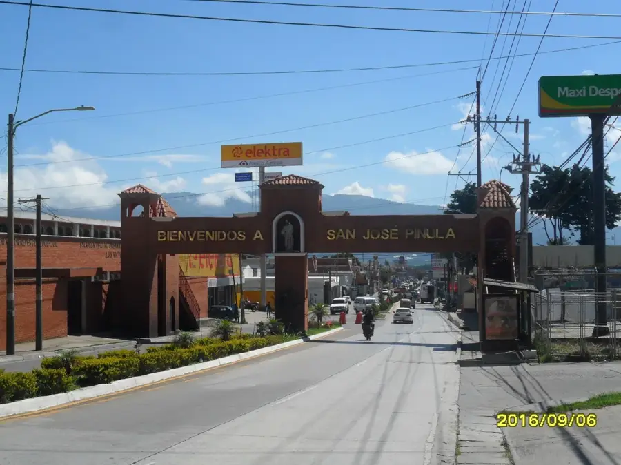
- Nearby: Santa Catarina Pinula (6 km)
- Population: ~58.922 (2023)
Best time to visit & climate
The most pleasant time to visit is Jan–Mar.
| Jan | Feb | Mar | Apr | May | Jun | Jul | Aug | Sep | Oct | Nov | Dec | |
|---|---|---|---|---|---|---|---|---|---|---|---|---|
| Avg °C | 19 | 21 | 22 | 23 | 23 | 22 | 21 | 21 | 21 | 20 | 19 | 19 |
| Rain mm | 5 | 7 | 12 | 41 | 163 | 225 | 172 | 223 | 243 | 191 | 43 | 8 |
Geography
Facts
- Fraijanes was officially established as a municipality on July 12, 1924.
- The town is situated at an elevation of about 1600 meters.
- The Fraijanes Plateau coffee region is world-famous for premium coffee.
- The patronal feast is celebrated annually on February 2.
- The name originates from two Dominican friars both named Juan.
- The municipality is home to many exclusive private schools.
Explore nearby
Notable places around
Route planner — Car & Motorhome
Where do you start? We build the route here, with stops and country notes along the way.
© OpenStreetMap contributors · OpenRouteService
Frequently asked questions
What is the main feature of Fraijanes?
Are there recreation parks there?
What is the climate like?
When does the coffee bloom?
Is the connection good?
Fraijanes: where is it located?
Fraijanes: when is the best time to visit?
Fraijanes: why is it worth visiting?

Nearby cities
History & landmarks

More places