Plizio Visual Lab
Caracol Plateau
Weather…
Water temperature…
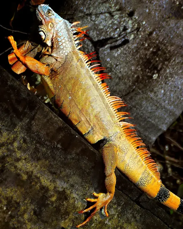
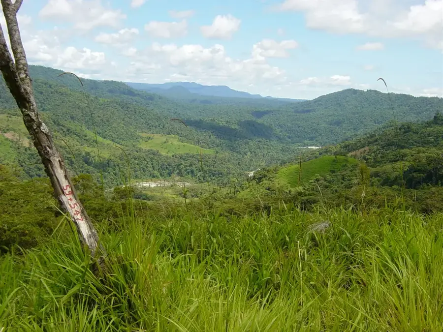
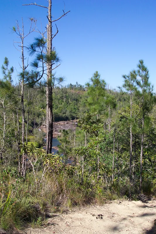
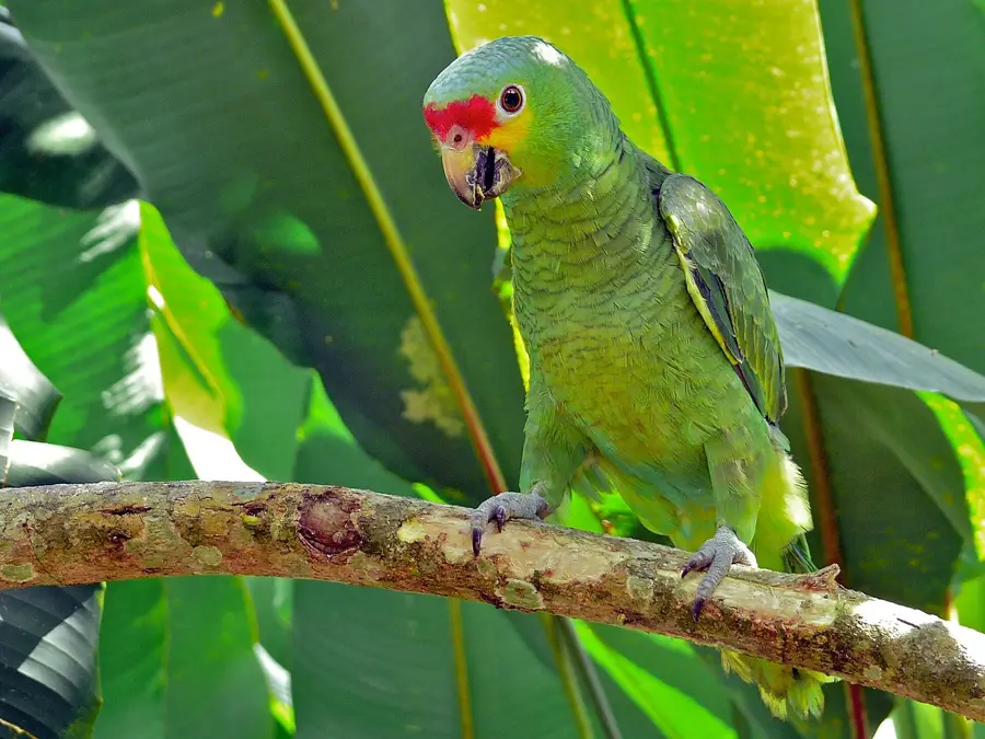
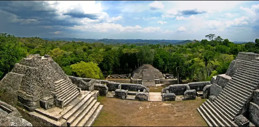
The Caracol Plateau is a vast, elevated limestone platform located deep within the Chiquibul National Park in western Belize. This geological formation is most famous for being the site of the ancient Maya city of Caracol, one of the most powerful urban centers of the Classic period. The plateau is characterized by its karstic topography, featuring numerous sinkholes, caves, and underground streams, which the Maya utilized for water management. The relatively fertile soils supported a large agricultural population that sustained the city for centuries. Covered by a dense broadleaf rainforest, the plateau is a hotspot of biodiversity, providing a critical habitat for jaguars, ocelots, and Baird's tapirs. The entire area is a protected archaeological reserve, preserving both the monumental Maya ruins and the surrounding pristine forest ecosystem.
- Location: Belize
- Nearby: Cristo Rey (Cayo) (4 km)
Best time to visit & climate
The most pleasant time to visit is Jan–Mar.
| Jan | Feb | Mar | Apr | May | Jun | Jul | Aug | Sep | Oct | Nov | Dec | |
|---|---|---|---|---|---|---|---|---|---|---|---|---|
| Avg °C | 21 | 22 | 24 | 26 | 26 | 25 | 25 | 25 | 25 | 24 | 22 | 22 |
| Rain mm | 110 | 66 | 58 | 40 | 127 | 240 | 175 | 197 | 225 | 251 | 200 | 137 |
📋 Practical info
Geography
Explore nearby
Notable places around
Route planner — Car & Motorhome
Where do you start? We build the route here, with stops and country notes along the way.
© OpenStreetMap contributors · OpenRouteService
Sights nearby
Frequently asked questions
What characterizes the Caracol Plateau?
What is its archaeological significance?
How do you get to the plateau?
Is the plateau inhabited?
What view does the plateau offer?
Caracol Plateau: where is it located?
Caracol Plateau: when is the best time to visit?
Caracol Plateau: why is it worth visiting?

More places