Plizio Visual Lab
Chiquibul Forest Reserve

Weather…
Water temperature…
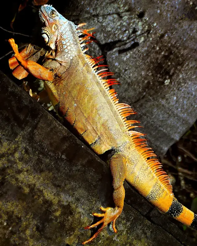
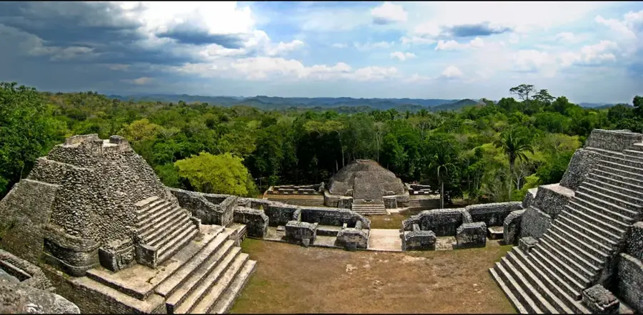
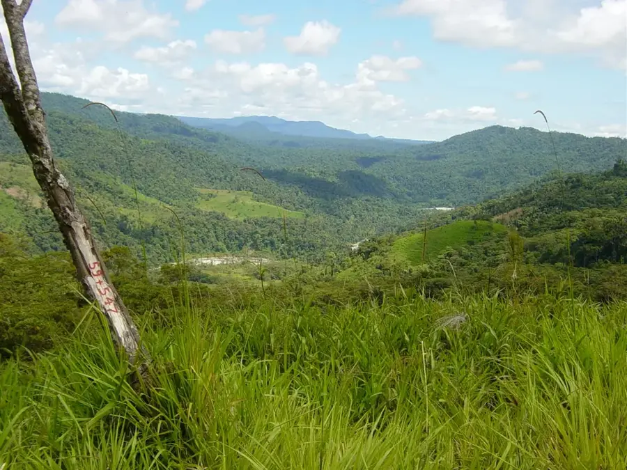
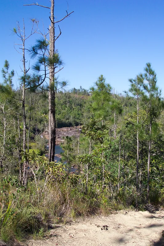
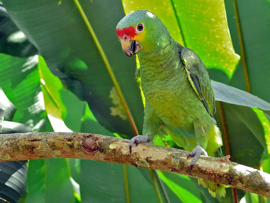
The Chiquibul Forest Reserve is a vital component of the largest contiguous block of tropical rainforest in Central America, spanning from Belize's Cayo District to the Guatemalan border. Encompassing roughly 600 square kilometers, it combines with the adjacent Chiquibul National Park to form a critical ecosystem for regional biodiversity. The reserve is renowned for its complex subterranean geography, including the Chiquibul Cave System, the longest in Central America. Its dense canopy supports significant populations of jaguars, Baird's tapirs, and the endangered scarlet macaw. Archaeologically, the region is of immense importance as it contains the ancient Maya metropolis of Caracol, which was once one of the most powerful city-states in the Maya world. The terrain is characterized by rugged limestone hills and numerous watercourses that feed the Belize River watershed. Despite its remote nature, the reserve faces ongoing challenges from illegal logging and poaching, necessitating rigorous conservation and monitoring efforts.
- Location: Belize
- Nearby: Cristo Rey (Cayo) (5 km)
Best time to visit & climate
The most pleasant time to visit is Jan–Mar.
| Jan | Feb | Mar | Apr | May | Jun | Jul | Aug | Sep | Oct | Nov | Dec | |
|---|---|---|---|---|---|---|---|---|---|---|---|---|
| Avg °C | 21 | 22 | 24 | 26 | 26 | 25 | 25 | 25 | 25 | 24 | 22 | 22 |
| Rain mm | 110 | 66 | 58 | 40 | 127 | 240 | 175 | 197 | 225 | 251 | 200 | 137 |
📋 Practical info
Geography
Facts
- The reserve was originally designated in 1956.
- The Chiquibul Cave System includes over 540 kilometers of surveyed passages.
- Caracol, the largest Maya site in Belize, is located deep within this forested area.
- The reserve supports the last remaining nesting population of scarlet macaws in Belize.
- Annual rainfall in this mountainous rainforest region can exceed 2,000 millimeters.
- It forms part of the 'Selva Maya' alongside Guatemala's Maya Biosphere Reserve.
Explore nearby
Notable places around
Route planner — Car & Motorhome
Where do you start? We build the route here, with stops and country notes along the way.
© OpenStreetMap contributors · OpenRouteService
Sights nearby
Frequently asked questions
How large is the Chiquibul Forest?
Can you visit the Caracol ruins?
Is the area safe?
Are there rare animals there?
Do you need a permit?
Chiquibul Forest Reserve: where is it located?
Chiquibul Forest Reserve: when is the best time to visit?
Chiquibul Forest Reserve: why is it worth visiting?

More places