Plizio Visual Lab
Savave Islet

Weather…
Water temperature…
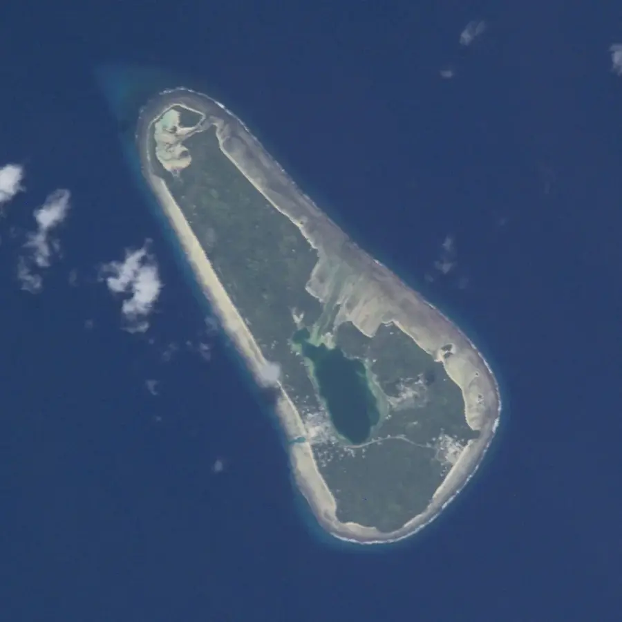
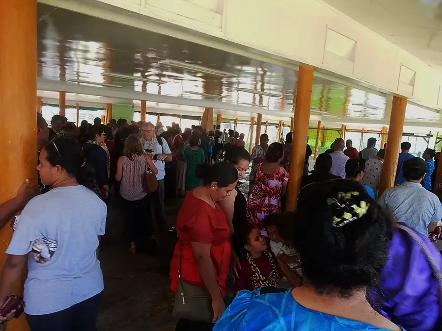
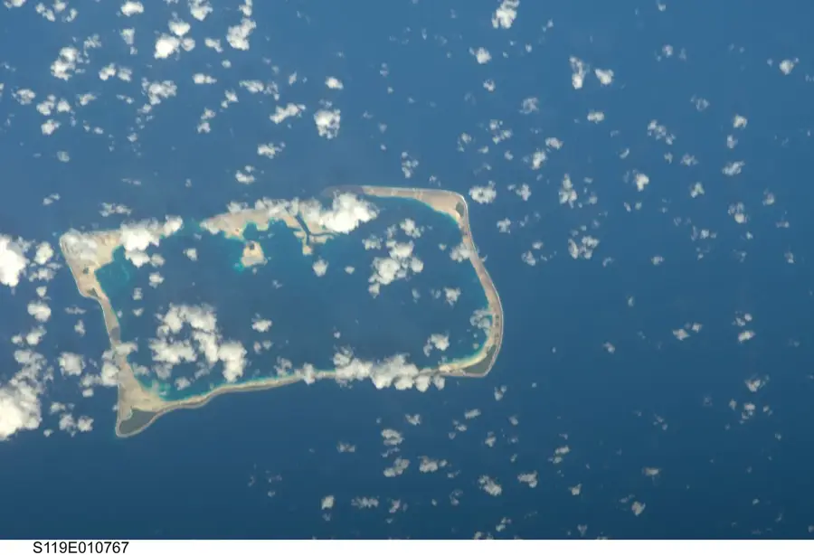
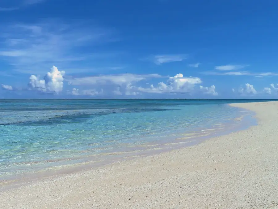
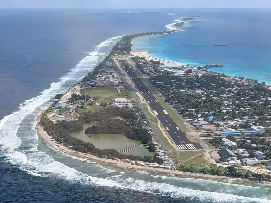
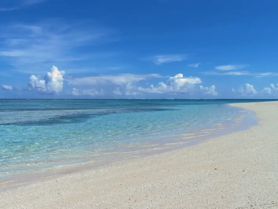
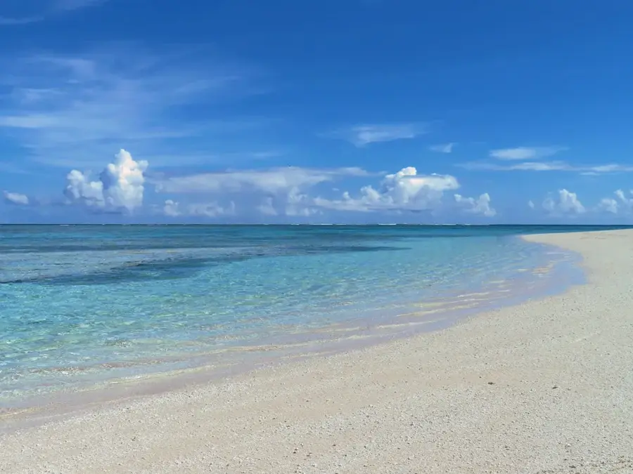
Savave is the primary islet (motu) of the Nukufetau Atoll and serves as the administrative and social hub for the local community. Geographically, it is situated on the western side of the atoll and, unlike many uninhabited islets, is densely populated. The islet features a well-developed social infrastructure, including a school, church, and traditional meeting houses known as Maneapas. Ecologically, Savave is characterized by coastal plantings and home gardens that are central to the population's food security. Historically, Savave has always been the preferred residential area on Nukufetau due to its relatively easy access to both the lagoon and the open sea. However, Savave's coastlines are heavily impacted by erosion, leading to the implementation of enhanced coastal protection measures and marine protected areas. Scientific projects on Savave focus on sustainable water management and the protection of groundwater resources in a changing climate. For visitors, Savave has an authentic glimpse into Polynesian island life and the community's deep-rooted connection to the sea.
Explore on the map
How well do you know Tuvalu?
Find cities, landscapes and regions in 10 varied challenges on the interactive map.
Your journey, your memory
A postcard from Savave Islet
Turn your own photo into a personal postcard with a local stamp. Free and no sign-up required.
Create a postcard- Location: Tuvalu
- Nearby: Nukufetau (12 km)
Best time to visit & climate
The most pleasant time to visit is Apr, May, Sep.
| Jan | Feb | Mar | Apr | May | Jun | Jul | Aug | Sep | Oct | Nov | Dec | |
|---|---|---|---|---|---|---|---|---|---|---|---|---|
| Avg °C | 29 | 28 | 28 | 28 | 29 | 29 | 28 | 28 | 28 | 28 | 29 | 29 |
| Rain mm | 320 | 307 | 244 | 159 | 152 | 161 | 171 | 166 | 138 | 179 | 220 | 268 |
📋 Practical info
Geography
Facts
- Savave is home to almost the entire population of the Nukufetau Atoll.
- The islet hosts the Tutasi Primary School, serving all local children.
- There is a locally managed marine protected area situated just off Savave's coast.
- The traditional Maneapa of Savave is one of the largest in Tuvalu's outer islands.
- Savave is protected against inundation by various coral dykes and seawalls.
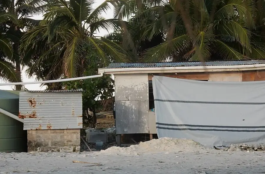
- The primary source of freshwater on the islet is gathered via rainwater harvesting systems.
Explore nearby
Notable places around
Route planner — Car & Motorhome
Where do you start? We build the route here, with stops and country notes along the way.
© OpenStreetMap contributors · OpenRouteService
Sights nearby
Frequently asked questions
What makes Savave special?
Are there accommodations for tourists?
How is the connection?
Are there shops there?
Is drinking water a problem?
Savave Islet: where is it located?
Savave Islet: when is the best time to visit?
Savave Islet: why is it worth visiting?

Nearby cities

History & landmarks
Nature
More places