Plizio Visual Lab
Nukufetau Airfield

Weather…
Water temperature…
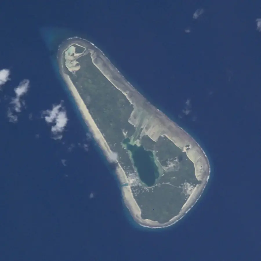
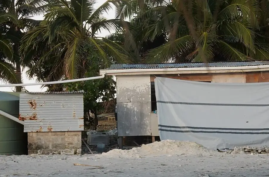
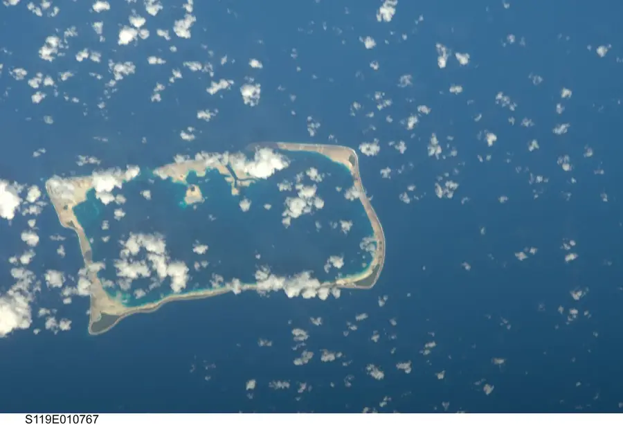
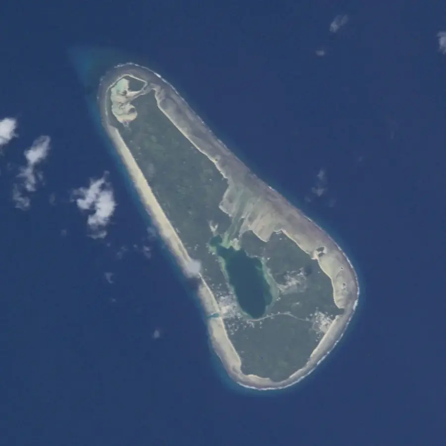
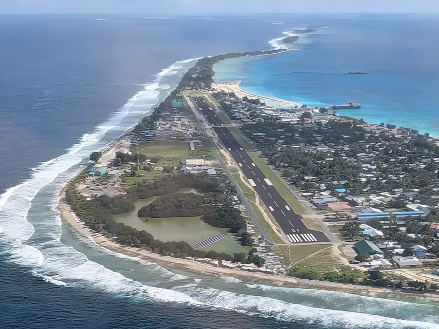
Nukufetau Airfield was established in 1943 on Motulalo islet within the Nukufetau Atoll to bolster Allied military capabilities during World War II. US Navy Seabees engineered a massive infrastructure featuring two intersecting runways that facilitated the deployment of heavy bombers and fighter aircraft. Positioned strategically between Fiji and the Marshall Islands, Nukufetau served as a vital node for reconnaissance missions and logistical support for northward offensives. At its peak, the islet transformed into a bustling military hub, supporting thousands of personnel and vast supply depots. Following the cessation of hostilities in 1945, the airfield was decommissioned and the island was eventually returned to its indigenous inhabitants. Today, the runways are largely reclaimed by dense tropical vegetation, yet their distinct X-shaped configuration remains clearly visible from aerial perspectives. Remnants of military structures and rusted equipment continue to provide a window into the island's wartime past.
Explore on the map
How well do you know Tuvalu?
Find cities, landscapes and regions in 10 varied challenges on the interactive map.
Your journey, your memory
A postcard from Nukufetau Airfield
Turn your own photo into a personal postcard with a local stamp. Free and no sign-up required.
Create a postcard- Location: Tuvalu
- Nearby: Nukufetau (15 km)
Best time to visit & climate
The most pleasant time to visit is Apr, May, Sep.
| Jan | Feb | Mar | Apr | May | Jun | Jul | Aug | Sep | Oct | Nov | Dec | |
|---|---|---|---|---|---|---|---|---|---|---|---|---|
| Avg °C | 29 | 28 | 28 | 28 | 29 | 29 | 28 | 28 | 28 | 28 | 29 | 29 |
| Rain mm | 320 | 307 | 244 | 159 | 152 | 161 | 171 | 166 | 138 | 179 | 220 | 268 |
📋 Practical info
Geography
Facts
- Constructed by the 16th and 73rd US Naval Construction Battalions
- The airfield became operational in September 1943
- Featured a primary runway approximately 6,600 feet long
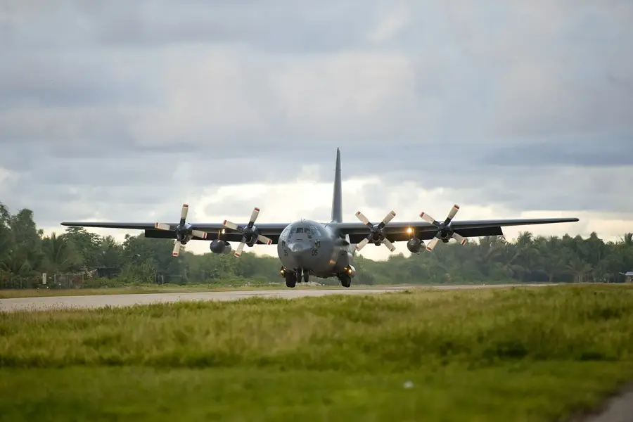
- Hosted B-24 Liberator bombers and PV-1 Ventura patrol planes
- Motulalo was the specific islet used for the entire base
- Decommissioned shortly after the war ended in 1945
Explore nearby
Notable places around
Route planner — Car & Motorhome
Where do you start? We build the route here, with stops and country notes along the way.
© OpenStreetMap contributors · OpenRouteService
Sights nearby
Frequently asked questions
What characterizes the Nukufetau airfield?
What can one see there?
Where is Nukufetau?
Is it safe for tourists?
How is the journey?
Nukufetau Airfield: where is it located?
Nukufetau Airfield: when is the best time to visit?
Nukufetau Airfield: why is it worth visiting?

Nearby cities



History & landmarks
Nature

More places