Plizio Visual Lab
Funafuti Atoll
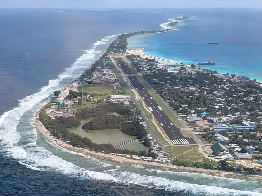
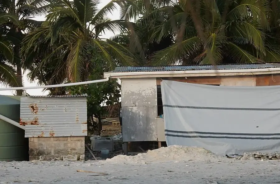
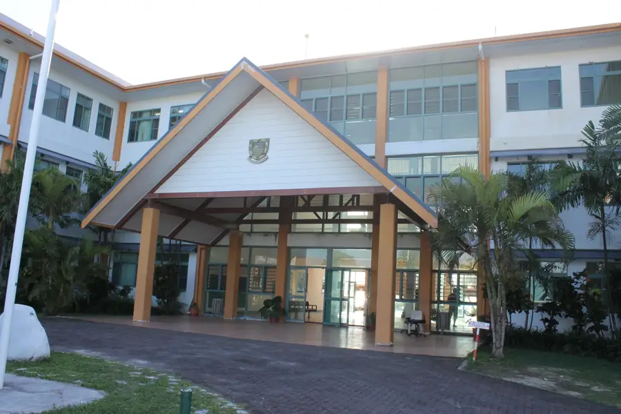
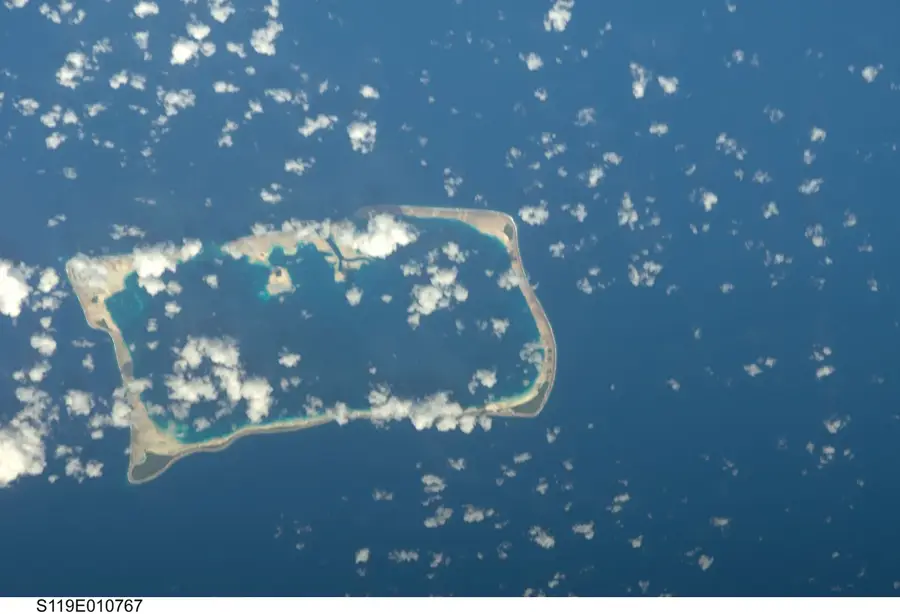
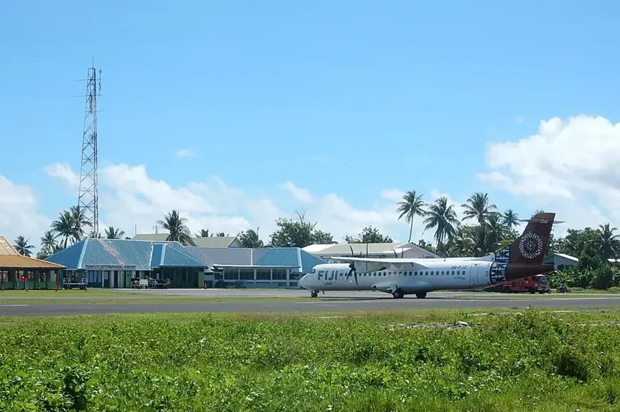
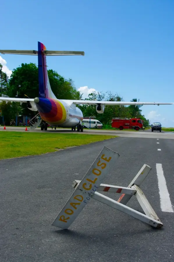
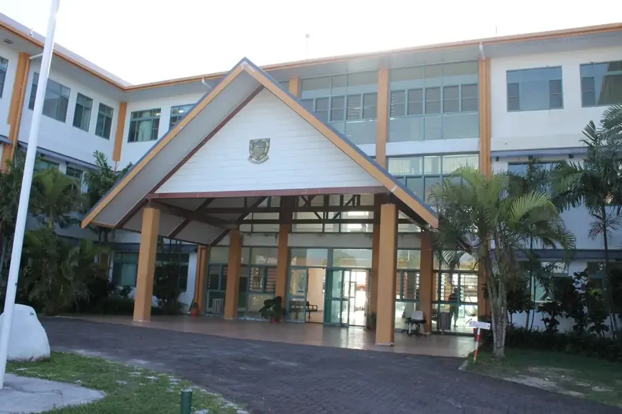
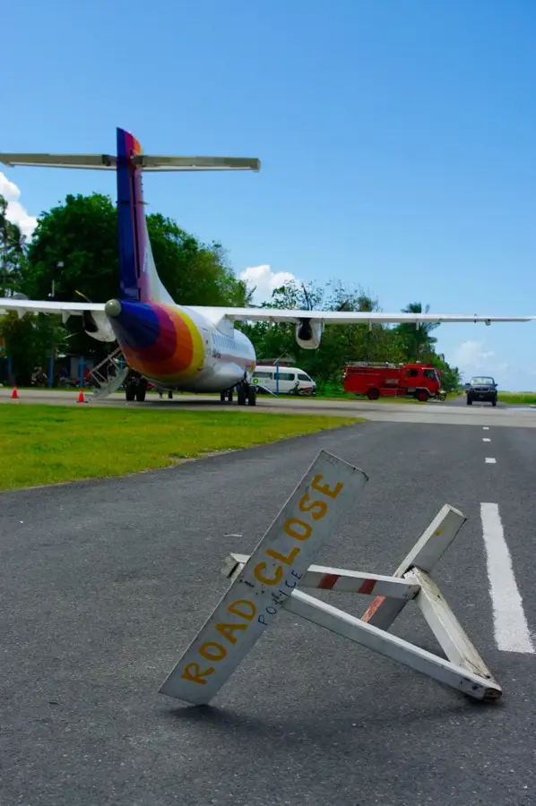
Funafuti Atoll is the most important economic and political center of Tuvalu, serving as the nation's capital. It comprises approximately 30 islets surrounding a vast central lagoon known as Te Namo, which covers an area of about 275 square kilometers. The largest islet is Fongafale, where the international airport and government administrative buildings are located. Historically, Funafuti gained prominence during World War II when the United States established a military airfield here in 1942 to conduct operations against Japanese forces in the Pacific. Today, the atoll faces severe environmental challenges, specifically from rising sea levels and coastal erosion, which threaten the long-term viability of the local community. Despite having a total land area of only 2.4 square kilometers, Funafuti is the most densely populated part of the country and serves as the primary gateway to the isolated archipelago.
Explore on the map
How well do you know Tuvalu?
Find cities, landscapes and regions in 10 varied challenges on the interactive map.
Your journey, your memory
A postcard from Funafuti Atoll
Turn your own photo into a personal postcard with a local stamp. Free and no sign-up required.
Create a postcard- Location: Tuvalu
- Nearby: Alapi (6 km)
Best time to visit & climate
The most pleasant time to visit is Apr, May, Sep.
| Jan | Feb | Mar | Apr | May | Jun | Jul | Aug | Sep | Oct | Nov | Dec | |
|---|---|---|---|---|---|---|---|---|---|---|---|---|
| Avg °C | 29 | 28 | 28 | 28 | 29 | 29 | 28 | 28 | 28 | 28 | 29 | 29 |
| Rain mm | 326 | 310 | 238 | 161 | 159 | 165 | 174 | 168 | 142 | 186 | 225 | 277 |
📋 Practical info
Geography
Facts
- Total land area is only 2.4 km²
- Te Namo lagoon is 18 km long
- U.S. military base was established in 1942
- Highest point is just 5 meters above sea level
- Home to over 6,000 residents
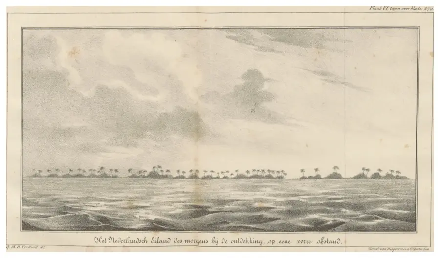
- Discovered by Arent de Peyster in 1819
Explore nearby
Notable places around
Route planner — Car & Motorhome
Where do you start? We build the route here, with stops and country notes along the way.
© OpenStreetMap contributors · OpenRouteService
Sights nearby
Frequently asked questions
How many days should I plan for Funafuti?
How to best reach the atoll?
Is the atoll family-friendly?
What is the best local food?
When is the best travel time?
Funafuti Atoll: where is it located?
Funafuti Atoll: when is the best time to visit?
Funafuti Atoll: why is it worth visiting?

Nearby cities

History & landmarks
Nature
More places