Plizio Visual Lab
Motulalo Islet

Weather…
Water temperature…
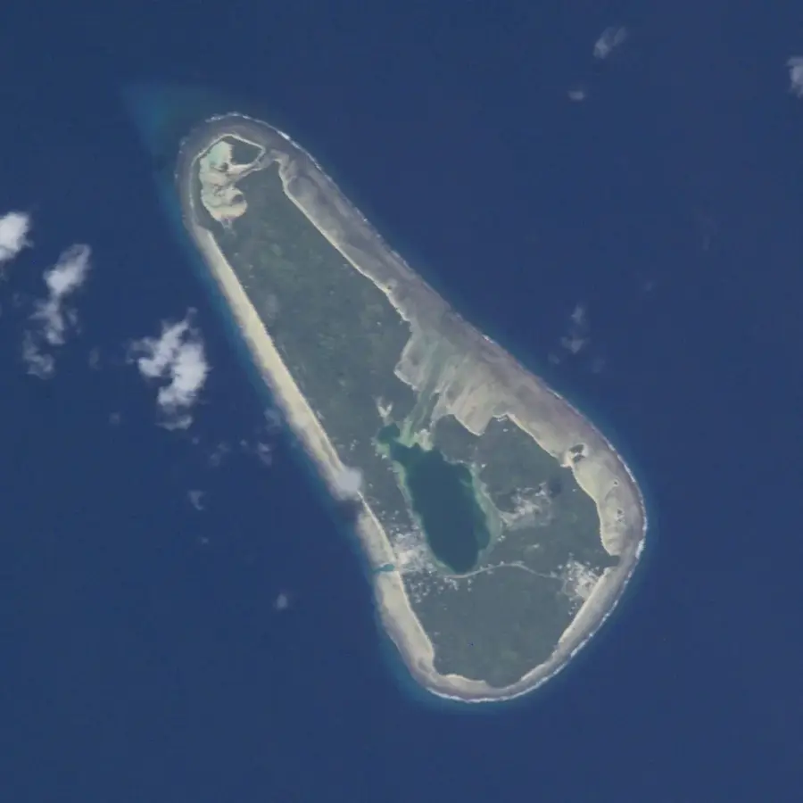
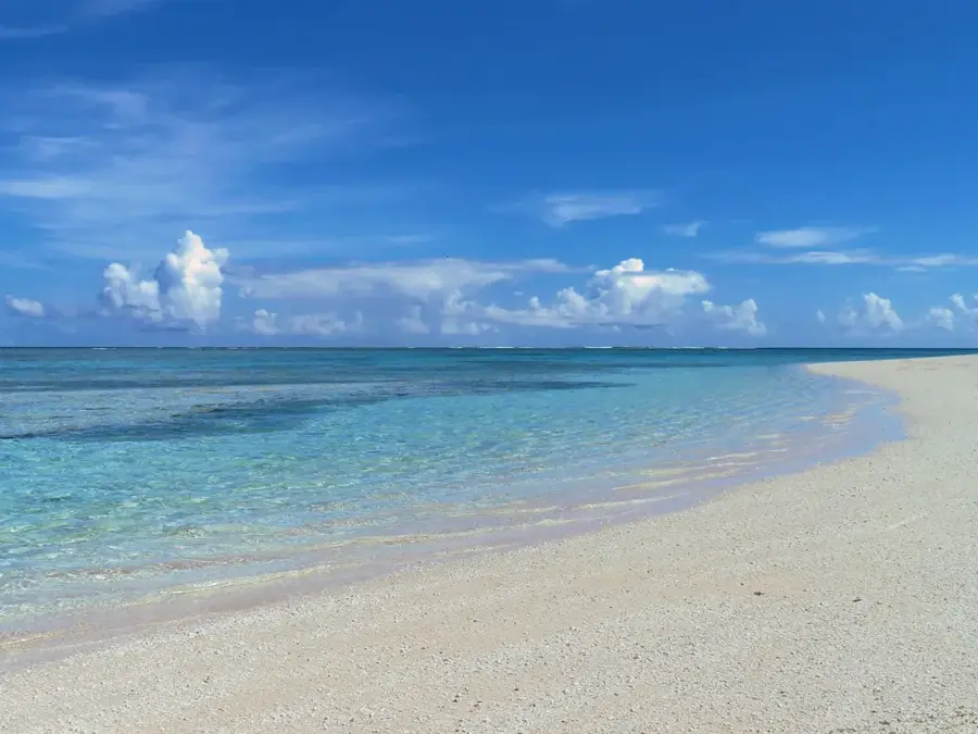
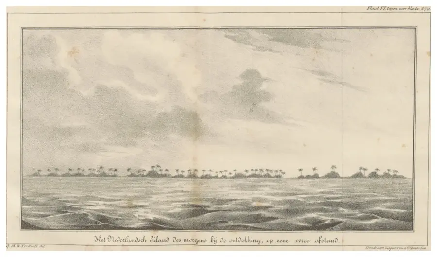
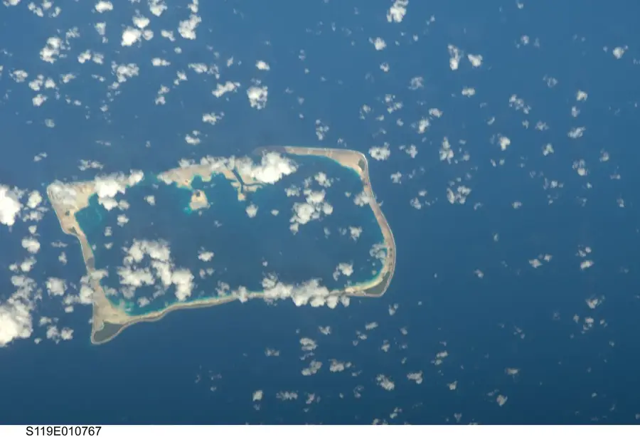
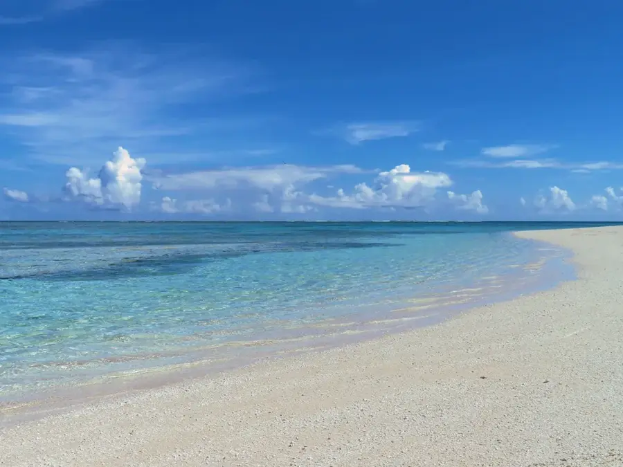
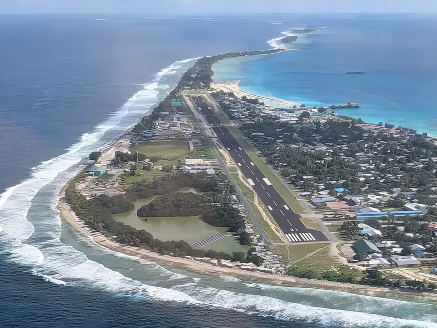
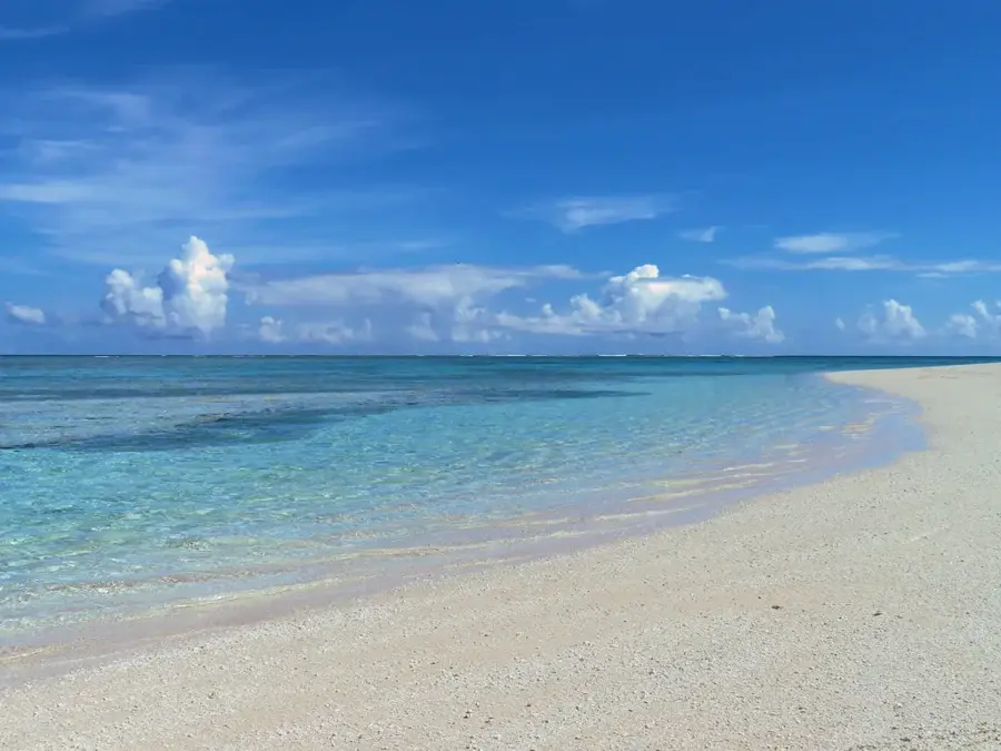
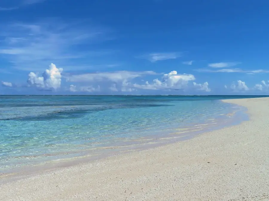
Motulalo is the largest islet (motu) of the Nukufetau Atoll and holds great historical and ecological significance for Tuvalu. Geographically, it is located in the southern part of the atoll ring and is distinguished by its substantial land area compared to neighboring islets. During World War II, Motulalo was utilized by the Allies as a major airbase, for which a massive runway was cleared into the coral bedrock. The remains of this military infrastructure are still visible in the landscape today, though partially overgrown by dense coconut palms and scrub. Ecologically, the islet hosts important stands of native tree species and serves as a habitat for land crabs and seabirds. The surrounding waters are known for their rich fishing grounds, which are essential for the sustenance of the Nukufetau Atoll. Despite its size, Motulalo is largely uninhabited today, contributing to the preservation of its natural state. The islet is a subject of archaeological and historical research to better understand Tuvalu's role in the Pacific War. Furthermore, the islet is valued for its role in the atoll's coastal protection.
Explore on the map
How well do you know Tuvalu?
Find cities, landscapes and regions in 10 varied challenges on the interactive map.
Your journey, your memory
A postcard from Motulalo Islet
Turn your own photo into a personal postcard with a local stamp. Free and no sign-up required.
Create a postcard- Location: Tuvalu
- Nearby: Savave (6 km)
Best time to visit & climate
The most pleasant time to visit is Apr, May, Sep.
| Jan | Feb | Mar | Apr | May | Jun | Jul | Aug | Sep | Oct | Nov | Dec | |
|---|---|---|---|---|---|---|---|---|---|---|---|---|
| Avg °C | 29 | 28 | 28 | 28 | 29 | 29 | 28 | 28 | 28 | 28 | 29 | 29 |
| Rain mm | 320 | 307 | 244 | 159 | 152 | 161 | 171 | 166 | 138 | 179 | 220 | 268 |
📋 Practical info
Geography
Facts
- Motulalo was the site of a United States Marine Corps airfield in 1943.
- The runway on Motulalo was approximately 1,500 meters long, capable of handling heavy bombers.
- The islet is part of the coral ring enclosing the 145-square-kilometer lagoon.
- Significant populations of the coconut crab (Birgus latro) are found on the islet.
- Motulalo's maximum elevation is approximately 3 to 4 meters above sea level.
- Today, the islet is used periodically for copra harvesting and temporary fishing camps.
Explore nearby
Notable places around
Route planner — Car & Motorhome
Where do you start? We build the route here, with stops and country notes along the way.
© OpenStreetMap contributors · OpenRouteService
Sights nearby
Frequently asked questions
How to get to Motulalo islet?
Is there tourist infrastructure there?
Can I camp there?
What is the best time to travel?
Is the island family-friendly?
Motulalo Islet: where is it located?
Motulalo Islet: when is the best time to visit?
Motulalo Islet: why is it worth visiting?

Nearby cities

History & landmarks
Nature
More places