Plizio Visual Lab
Nukufetau Lagoon

Weather…
Water temperature…
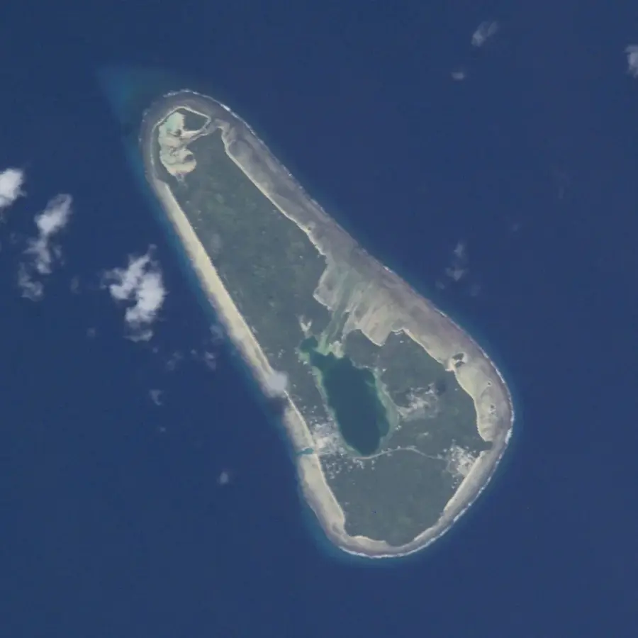
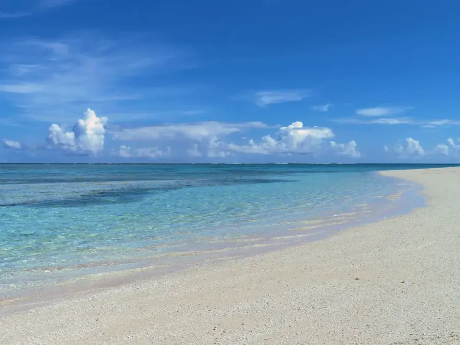
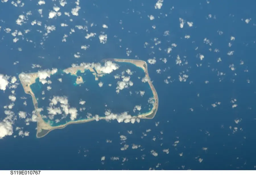
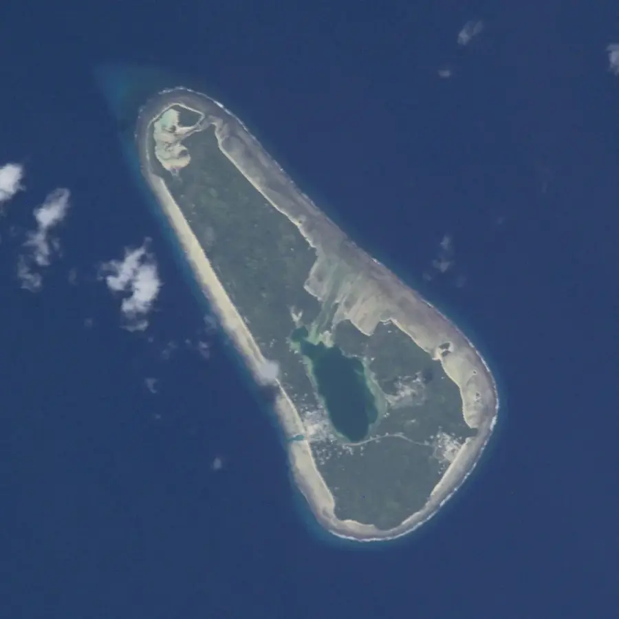
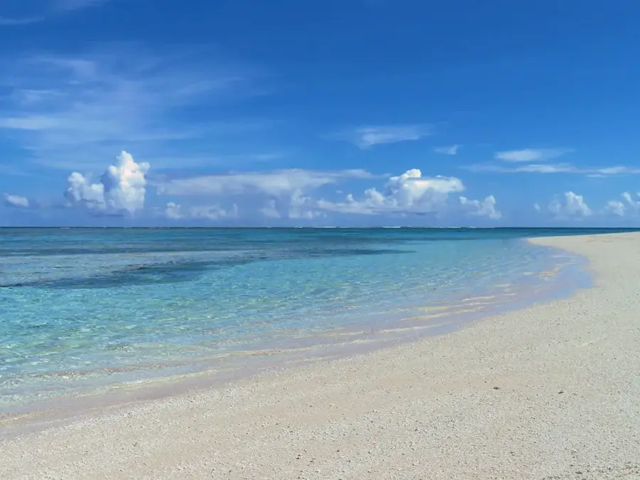
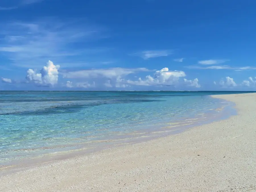
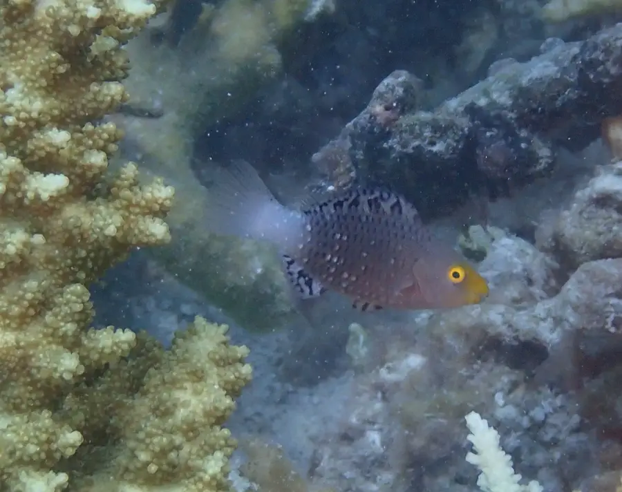
The Nukufetau Lagoon, situated at the heart of the eponymous atoll, is one of Tuvalu's most significant marine bodies of water, distinguished by its nearly rectangular shape. Spanning approximately 145 square kilometers, the lagoon provides a protected habitat for a diverse range of marine life, including manta rays and various shark species. Geographically, the lagoon is enclosed by a coral ring consisting of 33 islets, with Motulalo being the largest among them. During World War II, the lagoon gained strategic importance when U.S. forces established a base and an airfield there, remains of which are still visible today. The deep waters of the lagoon are accessible via the Te Pua Pua channel, making it one of the few safe anchorages for larger vessels in this remote part of the Pacific. Scientifically, the area is of great interest for studying coral growth rates and analyzing sediment deposits in enclosed marine systems. Today, the lagoon primarily serves the local fishing community and is increasingly viewed as a potential destination for controlled ecotourism.
Explore on the map
How well do you know Tuvalu?
Find cities, landscapes and regions in 10 varied challenges on the interactive map.
Your journey, your memory
A postcard from Nukufetau Lagoon
Turn your own photo into a personal postcard with a local stamp. Free and no sign-up required.
Create a postcard- Location: Tuvalu
- Nearby: Nukufetau (15 km)
Best time to visit & climate
The most pleasant time to visit is Apr, May, Sep.
| Jan | Feb | Mar | Apr | May | Jun | Jul | Aug | Sep | Oct | Nov | Dec | |
|---|---|---|---|---|---|---|---|---|---|---|---|---|
| Avg °C | 29 | 28 | 28 | 28 | 29 | 29 | 28 | 28 | 28 | 28 | 29 | 29 |
| Rain mm | 320 | 307 | 244 | 159 | 152 | 161 | 171 | 166 | 138 | 179 | 220 | 268 |
📋 Practical info
Geography
Facts
- Nukufetau Lagoon measures approximately 14 kilometers in length and 10 kilometers in width.
- The Te Pua Pua channel is the only navigable entrance to the lagoon for larger ocean-going vessels.
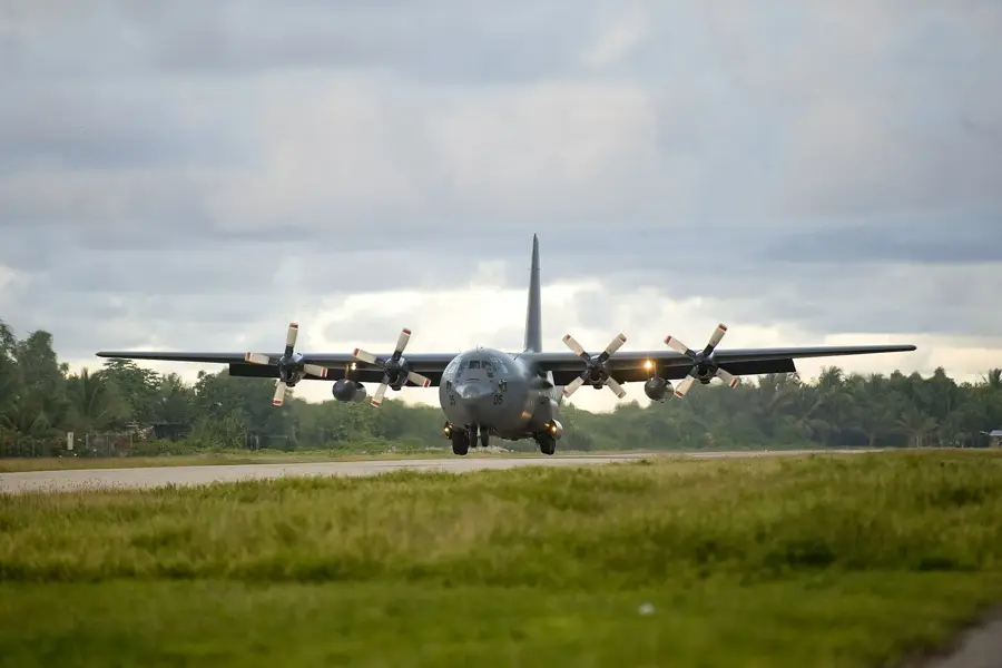
- In 1943, U.S. Marines constructed an airfield on Motulalo islet for B-24 bombers.
- There are 33 distinct islets (motus) that form the perimeter of the lagoon and define the atoll.
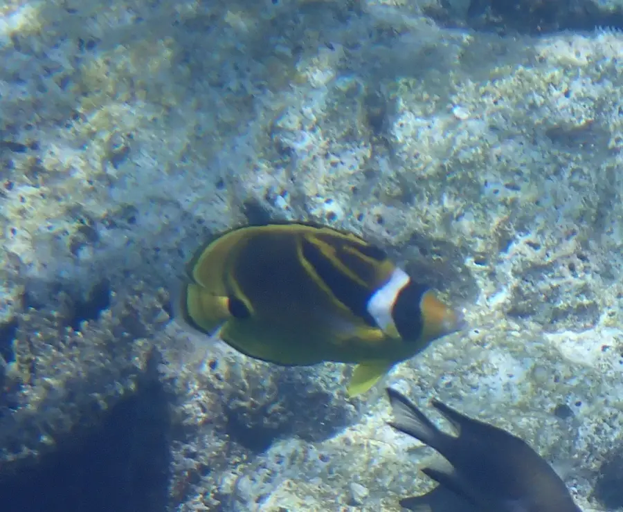
- The lagoon is home to significant populations of giant clams (Tridacna gigas).
- Nukufetau was sighted by Westerners in 1819 by American Captain Arent Schuyler de Peyster.
Explore nearby
Notable places around
Route planner — Car & Motorhome
Where do you start? We build the route here, with stops and country notes along the way.
© OpenStreetMap contributors · OpenRouteService
Sights nearby
Frequently asked questions
Is the lagoon big?
Can I sail there?
Is there an island to anchor at?
Is the lagoon touristy?
What is the best activity?
Nukufetau Lagoon: where is it located?
Nukufetau Lagoon: when is the best time to visit?
Nukufetau Lagoon: why is it worth visiting?

Nearby cities



History & landmarks
Nature
More places