Plizio Visual Lab
Niulakita

ℹ️Practical info — Niulakita
▾
🌤 Weather — 5 days
📍 Nearby
Sights nearby
💡 Tips
- Access is extremely limited and depends on the irregular government ship schedule; plan for ultimate flexibility.
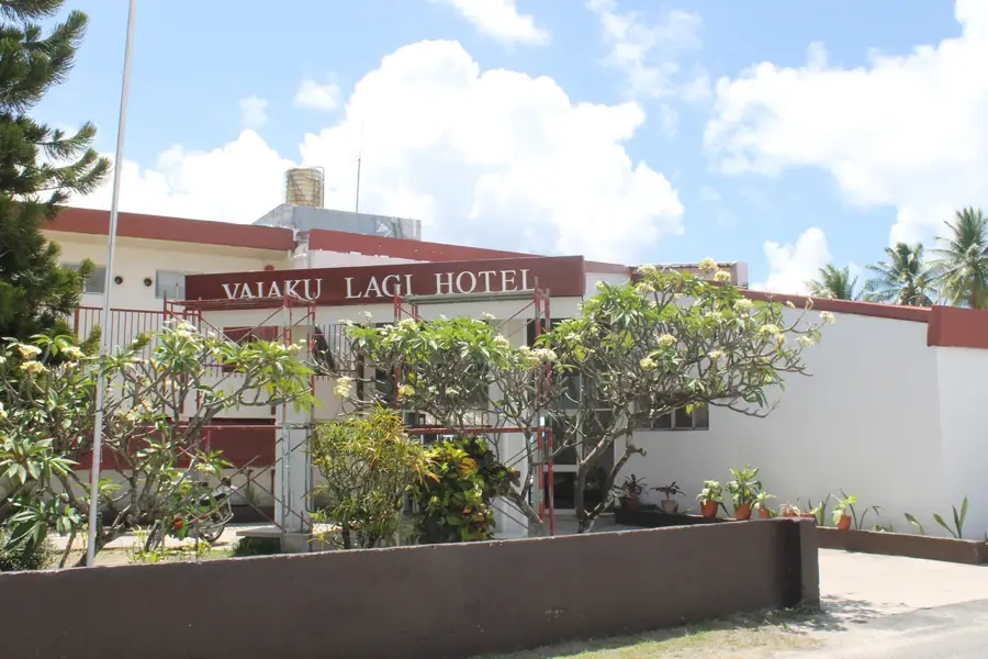
- There are no hotels or restaurants; you must arrange homestays and meals with the local community well in advance.
- Bring all necessary supplies, including medications, extra cash, and specific dietary items from the capital.
- Respect the strong community rules, as it is a single small village with a deeply traditional, conservative lifestyle.
🍽 Food
Swamp taro is a staple here, often served with freshly caught fish during community meals.
Occasionally caught and shared during special feasts, this is a rare and protected local delicacy.
Caught by local fishermen and served almost immediately, often raw or lightly seared.
🛍 Shopping · 🧘 Quiet spots
The only 'shopping' is buying traditional woven fans or mats directly from the village artisans.
There are absolutely no commercial stores on the island; bring whatever you need with you.
A short walk takes you around the entire island, offering endless ocean views and total isolation.
With zero light pollution, the night sky is spectacular from anywhere on the island.
Water temperature…
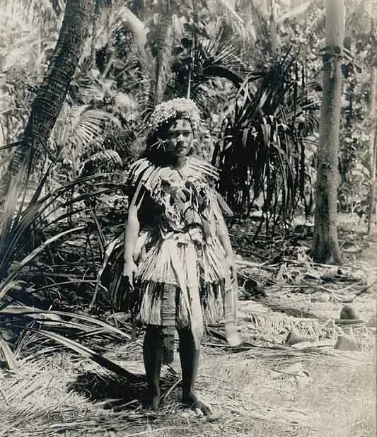
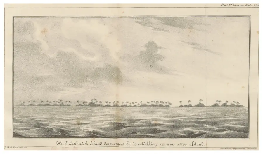
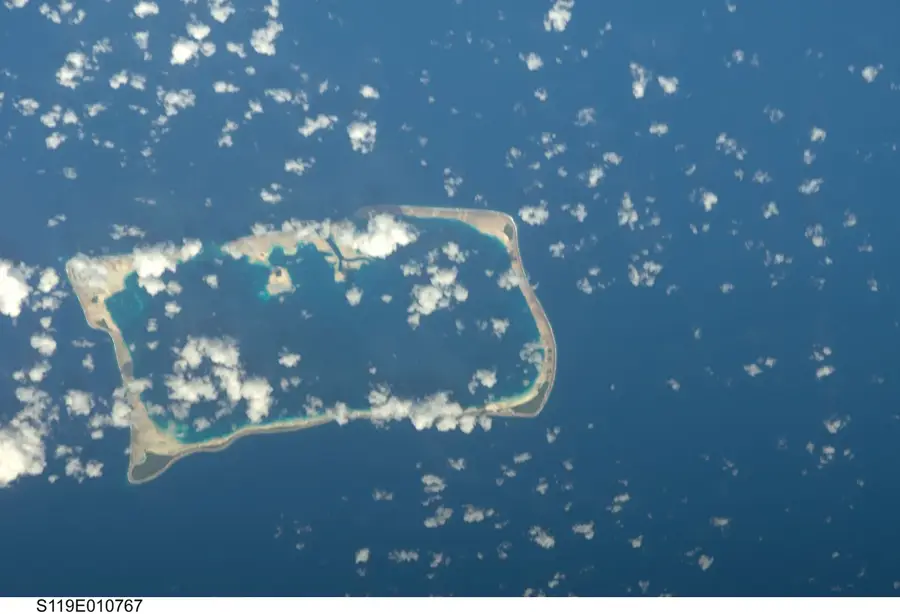
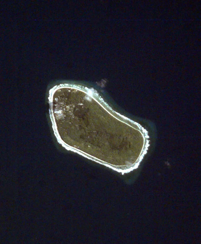
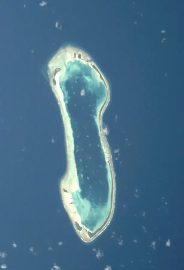
Niulakita is the southernmost and smallest inhabited island of Tuvalu, distinguished by its unique geography as a single coral island rather than a typical ring-shaped atoll. With a total land area of approximately 0.4 square kilometers (about 40 hectares), it is significantly different from the multi-islet formations found elsewhere in the country. Historically, Niulakita was largely uninhabited or used temporarily for coconut harvesting by people from Niutao until it was officially settled in 1949 under British colonial administration. The island is renowned for its lush vegetation and fertile soil, which supports the cultivation of coconut palms, bananas, and traditional root crops like pulaka. Due to its extreme isolation and the absence of a natural harbor, access to Niulakita is notoriously difficult, requiring skilled boatmen to navigate small craft through the surrounding reef breaks. The small community living there maintains a highly traditional and self-sufficient lifestyle, governed by a local Maneapa system. Despite its diminutive size, Niulakita plays an important role in Tuvalu's maritime claims and represents the outer reaches of the nation's sovereign territory.
Explore on the map
How well do you know Tuvalu?
Find cities, landscapes and regions in 10 varied challenges on the interactive map.
Your journey, your memory
A postcard from Niulakita
Turn your own photo into a personal postcard with a local stamp. Free and no sign-up required.
Create a postcard- Location: Tuvalu
- Population: ~34
Best time to visit & climate
The most pleasant time to visit is Jul–Sep.
| Jan | Feb | Mar | Apr | May | Jun | Jul | Aug | Sep | Oct | Nov | Dec | |
|---|---|---|---|---|---|---|---|---|---|---|---|---|
| Avg °C | 29 | 28 | 28 | 28 | 29 | 28 | 28 | 28 | 28 | 28 | 28 | 28 |
| Rain mm | 327 | 300 | 229 | 196 | 176 | 165 | 152 | 132 | 127 | 189 | 250 | 289 |
Geography
Facts
- The southernmost inhabited island in Tuvalu.
- Total land area is approximately 0.4 square kilometers.
- Unlike other islands, it is a single island with no lagoon.
- Permanently settled in 1949 by people from Niutao.
- Lacks a natural harbor, making boat access challenging.
- Highest point is about 4.6 meters above sea level.
Route planner — Car & Motorhome
Where do you start? We build the route here, with stops and country notes along the way.
© OpenStreetMap contributors · OpenRouteService
Sights in the town Niulakita (1)
Frequently asked questions
Why should one visit Niulakita?
Is there a hotel there?
Is the journey difficult?
What is to be seen there?
Should one be prepared?
Niulakita: where is it located?
Niulakita: when is the best time to visit?
Niulakita: why is it worth visiting?

Nearby cities
History & landmarks
Nature

More places