Plizio Visual Lab
Vaitupu Mangroves
Weather…
Water temperature…
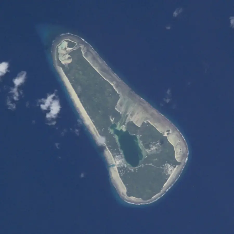
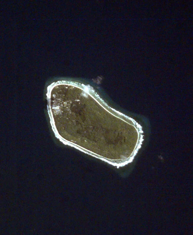
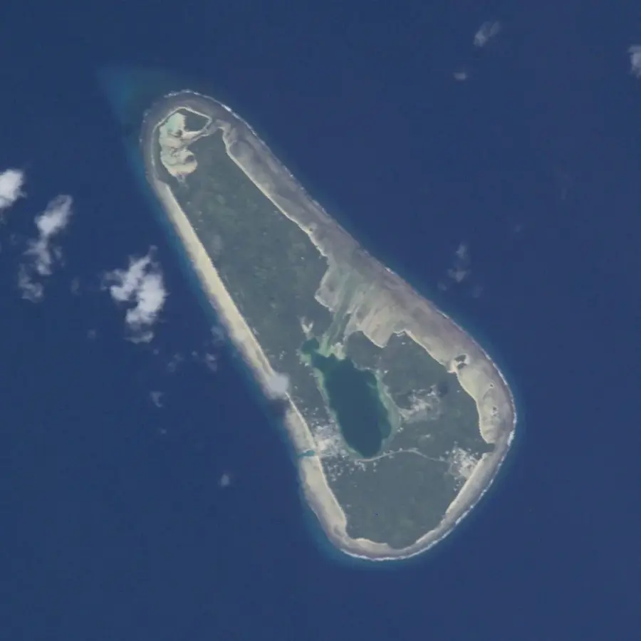
The Vaitupu Mangroves are an extraordinary ecological feature located on the largest island of the Tuvalu archipelago. Unlike most atolls in the country, Vaitupu consists of a continuous landmass with a small, almost entirely enclosed interior lagoon, where dense mangrove stands have developed along its fringes. These forests mainly comprise species such as Rhizophora stylosa and play a critical role as a nursery ground for various marine fish and crustaceans. Geographically, the mangroves are primarily found around the central lagoon and within swampy inland areas connected to the sea via tidal channels. Historically, the area was utilized for sourcing building materials and traditional medicines, but today it is highly valued for its role in coastal protection. The mangroves act as a natural buffer against storm surges and prevent the erosion of the scarce land soil on Vaitupu. For the local community, the area remains important for the sustainable harvesting of crabs, a traditional local delicacy. Scientific studies here focus on the adaptability of mangroves to the increasing salinity of groundwater.
Explore on the map
How well do you know Tuvalu?
Find cities, landscapes and regions in 10 varied challenges on the interactive map.
Your journey, your memory
A postcard from Vaitupu Mangroves
Turn your own photo into a personal postcard with a local stamp. Free and no sign-up required.
Create a postcard- Location: Tuvalu
- Nearby: Savave (64 km)
Best time to visit & climate
The most pleasant time to visit is Apr, May, Sep.
| Jan | Feb | Mar | Apr | May | Jun | Jul | Aug | Sep | Oct | Nov | Dec | |
|---|---|---|---|---|---|---|---|---|---|---|---|---|
| Avg °C | 29 | 28 | 28 | 28 | 29 | 29 | 28 | 28 | 29 | 28 | 29 | 29 |
| Rain mm | 324 | 309 | 247 | 161 | 149 | 161 | 169 | 167 | 131 | 171 | 208 | 265 |
📋 Practical info
Geography
Facts
- Vaitupu is the largest single landmass in Tuvalu, covering an area of 5.6 square kilometers.
- The mangrove forests fringe parts of Vaitupu's two lagoons, Te Loto and Te Namo.
- Rhizophora stylosa is the dominant mangrove species found in this specific ecosystem.
- The mangroves provide a habitat for the famous coconut crab (Birgus latro) found on the island.
- Tidal channels facilitate water exchange between the mangrove swamps and the Pacific Ocean.
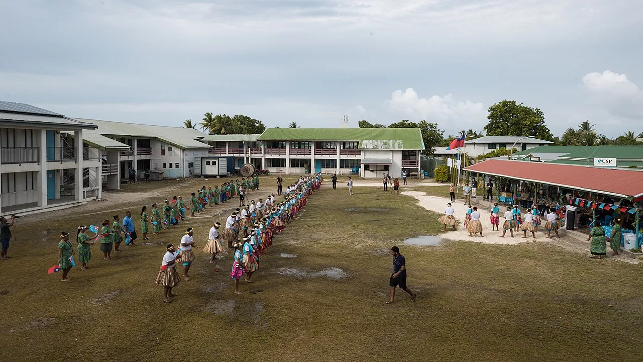
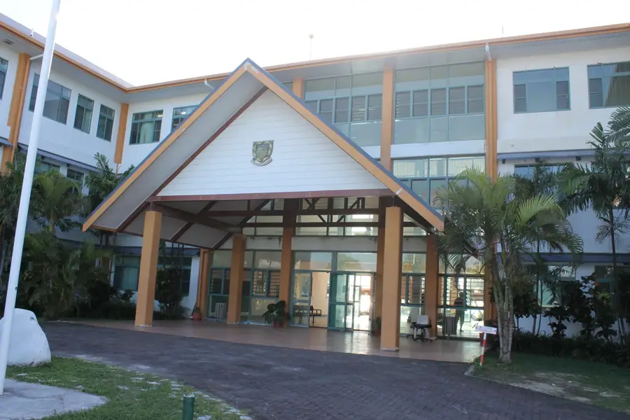
- Vaitupu has been home to Motufoua Secondary School, the nation's oldest school, since 1905.
Explore nearby
Notable places around
Route planner — Car & Motorhome
Where do you start? We build the route here, with stops and country notes along the way.
© OpenStreetMap contributors · OpenRouteService
Sights in the town Vaitupu Mangroves (1)
Sights nearby
Frequently asked questions
Where exactly are they?
Can I visit them?
What birds live there?
Are they endangered?
Can I enter them?
Vaitupu Mangroves: where is it located?
Vaitupu Mangroves: when is the best time to visit?
Vaitupu Mangroves: why is it worth visiting?

Nearby cities

History & landmarks
Nature
More places