Plizio Visual Lab
Amatuku Islet
Weather…
Water temperature…
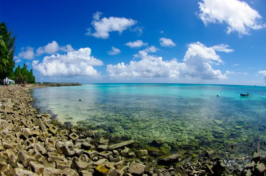
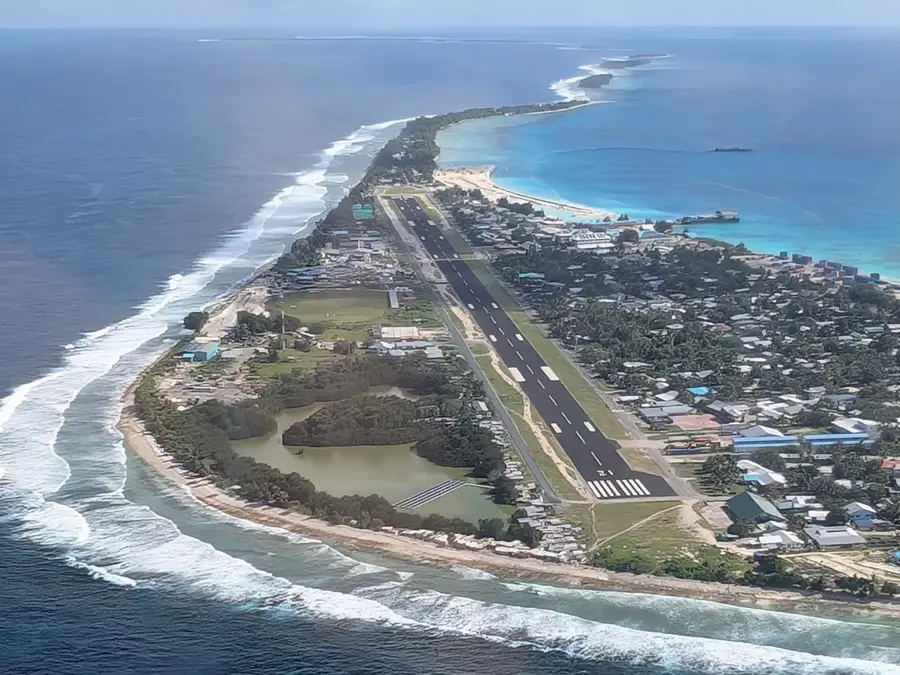
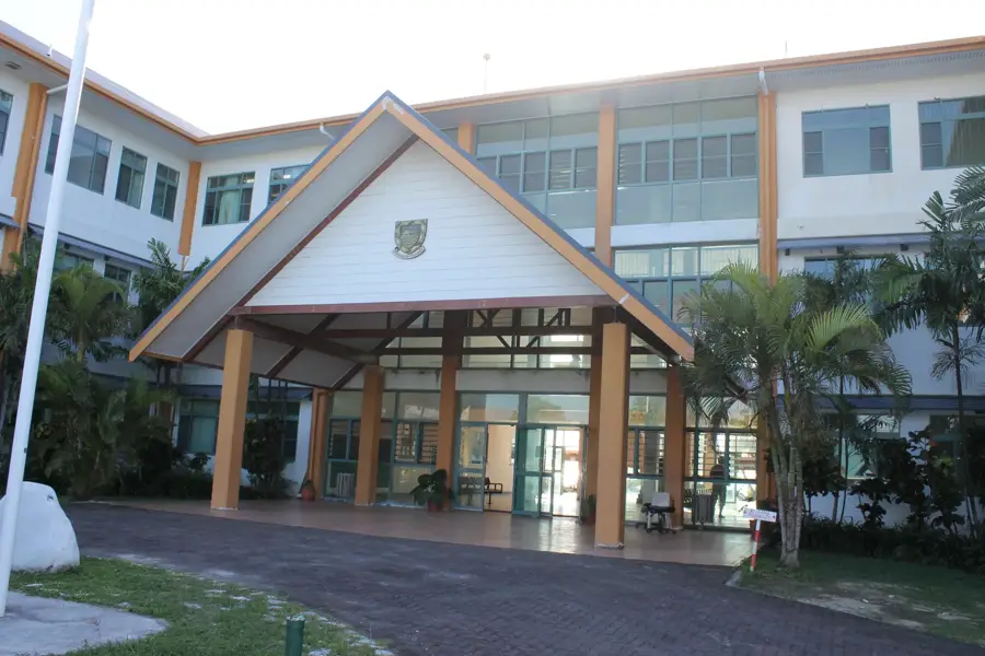
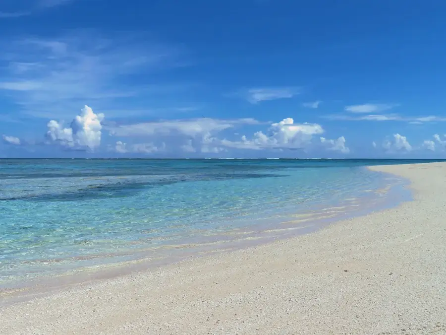
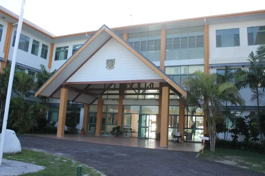
Amatuku is a narrow islet (motu) in the northern part of the Funafuti Atoll, playing a pivotal role in the economic development of Tuvalu. The islet is primarily renowned as the site of the Tuvalu Maritime Training Institute (TMTI), which has been training seafarers for the international merchant navy since its establishment in 1978. Geographically, Amatuku is characterized by its elongated shape and strategic position on the edge of the lagoon. Ecologically, the islet is dominated by coconut palms and breadfruit trees, with its coastal areas performing vital barrier reef functions for the northern atoll. Historically, the islet was an important center for early missionary activities and education in the country. The training facilities on Amatuku are modernly equipped, including simulation rooms and practical on-water training units. For the Tuvaluan economy, Amatuku is essential, as remittances from the seafarers trained there constitute a significant portion of the nation's GDP. Scientifically, Amatuku's shores are used to study sediment transport processes within the atoll system.
Explore on the map
How well do you know Tuvalu?
Find cities, landscapes and regions in 10 varied challenges on the interactive map.
Your journey, your memory
A postcard from Amatuku Islet
Turn your own photo into a personal postcard with a local stamp. Free and no sign-up required.
Create a postcard- Location: Tuvalu
- Highlights: Amatuku · Tuvalu Maritime Training Institute · Mulitefala
- Nearby: Lofeagai (5 km)
Best time to visit & climate
The most pleasant time to visit is Apr, May, Sep.
| Jan | Feb | Mar | Apr | May | Jun | Jul | Aug | Sep | Oct | Nov | Dec | |
|---|---|---|---|---|---|---|---|---|---|---|---|---|
| Avg °C | 29 | 28 | 28 | 28 | 29 | 29 | 28 | 28 | 28 | 28 | 29 | 29 |
| Rain mm | 326 | 310 | 238 | 161 | 159 | 165 | 174 | 168 | 142 | 186 | 225 | 277 |
📋 Practical info
Geography
Facts
- Amatuku is home to the Tuvalu Maritime Training Institute (TMTI), established in 1978.
- The islet is located in the north of Funafuti Atoll, about a 15-minute boat ride from Fongafale.
- TMTI trains approximately 120 to 150 cadets annually for international sea service.
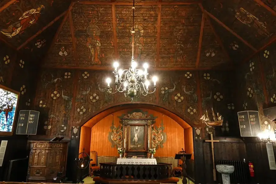
- The islet features a historic mission church, which is among the oldest in the atoll.
- The institute is supported through international partnerships, notably with Australia.
- Access to the islet is generally restricted to TMTI staff, students, and authorized visitors.
Explore nearby
Notable places around
Route planner — Car & Motorhome
Where do you start? We build the route here, with stops and country notes along the way.
© OpenStreetMap contributors · OpenRouteService
Sights in the town Amatuku Islet (3)
Sights nearby
Frequently asked questions
What is special about Amatuku?
Is the island open to the public?
Are there beaches there?
How to get there from Funafuti?
Is the island safe?
Amatuku Islet: where is it located?
Amatuku Islet: what is there to see?
Amatuku Islet: when is the best time to visit?
Amatuku Islet: why is it worth visiting?

Nearby cities

History & landmarks

Nature
More places