Plizio Visual Lab
Sierra de Omoa
Weather…
Water temperature…
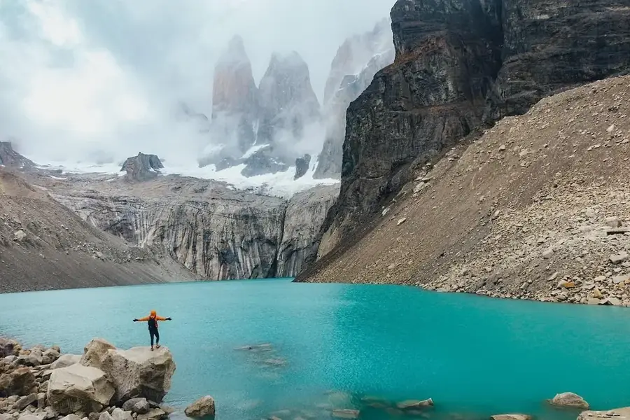
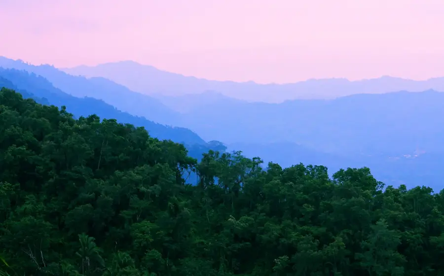
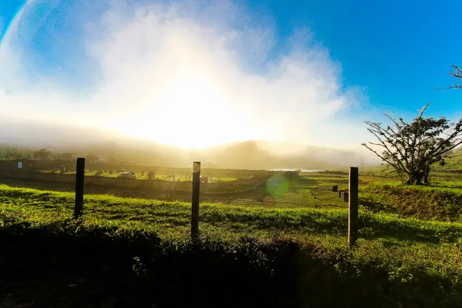
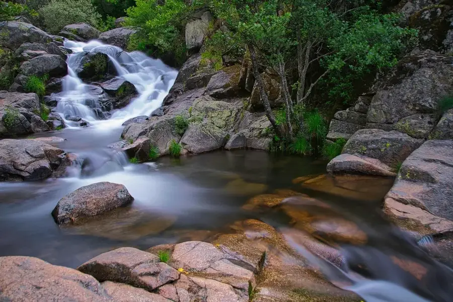
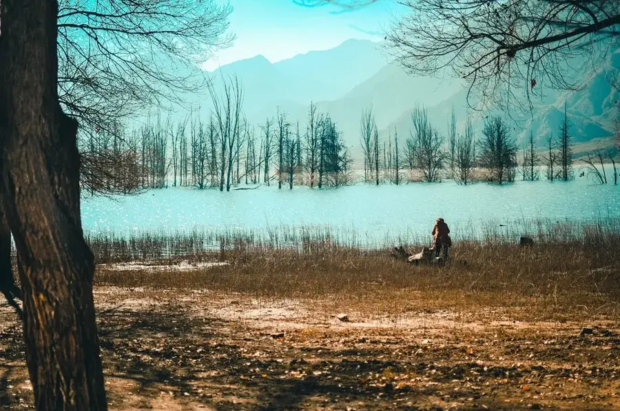
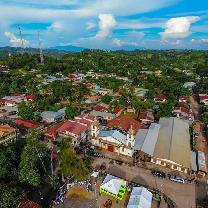
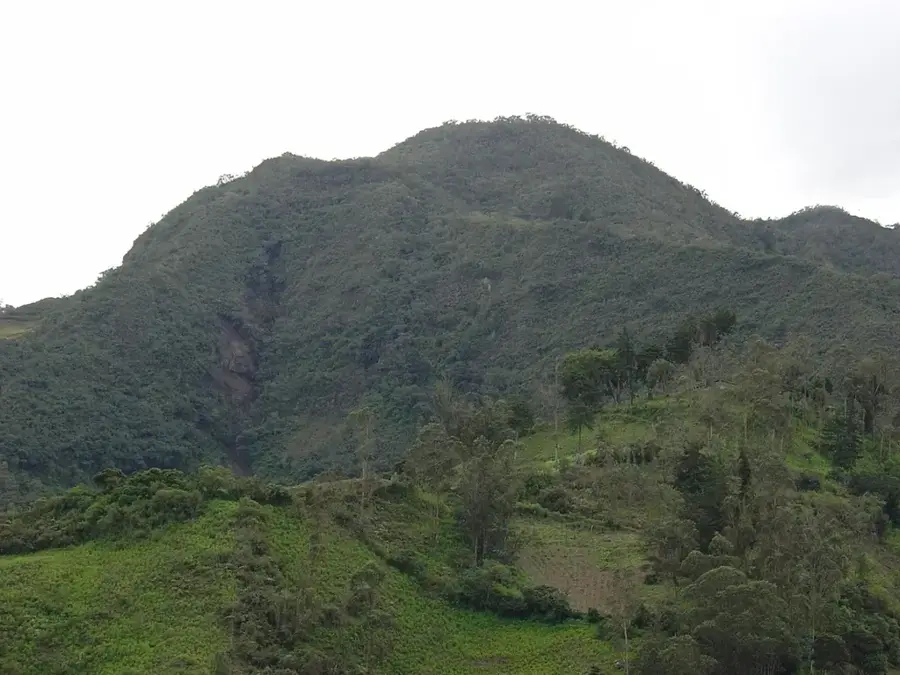
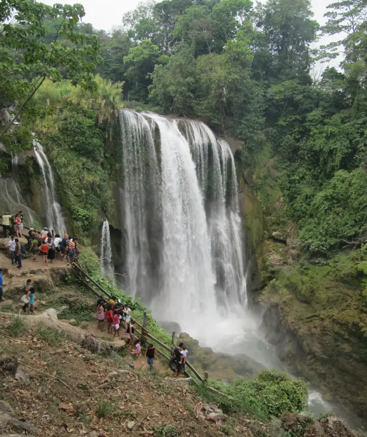
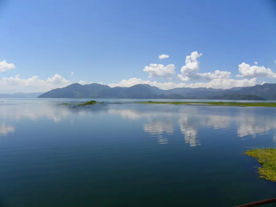
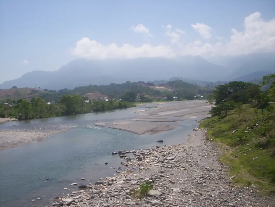
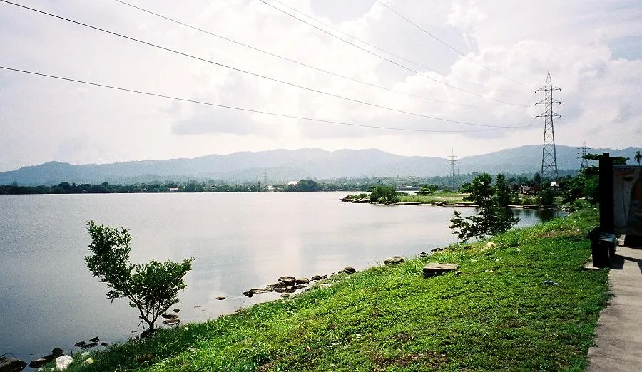
The Sierra de Omoa is a prominent mountain range in northwestern Honduras, bordering the Caribbean coast. These mountains rise sharply to elevations exceeding 2,000 meters, providing a dramatic backdrop to the coastal towns of Omoa and Puerto Cortés. The range is almost entirely cloaked in dense tropical rainforest and high-altitude cloud forest, home to lively wildlife including howler monkeys and exotic birds. Geographically, the Sierra forms the northwestern boundary of the Sula Valley. Its steep terrain is carved by numerous waterfalls and mountain streams that flow directly into the sea. History: The mountains provided a natural defense for the 18th-century Spanish fortress of San Fernando de Omoa, built to guard against pirate raids. Today, the area is a growing destination for eco-tourism and hiking.
- Location: Honduras
- Nearby: Lago de Yojoa (4 km)
Best time to visit & climate
The most pleasant time to visit is Feb–Apr.
| Jan | Feb | Mar | Apr | May | Jun | Jul | Aug | Sep | Oct | Nov | Dec | |
|---|---|---|---|---|---|---|---|---|---|---|---|---|
| Avg °C | 24 | 25 | 26 | 27 | 28 | 28 | 28 | 28 | 28 | 27 | 26 | 25 |
| Rain mm | 147 | 106 | 78 | 48 | 107 | 180 | 173 | 163 | 179 | 222 | 226 | 156 |
📋 Practical info
Geography
Facts
- Highest peaks rise above 2,000 meters.
- Directly borders the Caribbean shoreline.
- Covered in lush tropical cloud and rainforests.
- Forms the northwestern edge of the Sula Valley.
- Historical natural barrier for the Fortress of Omoa.
- Critical source of fresh water for coastal communities.
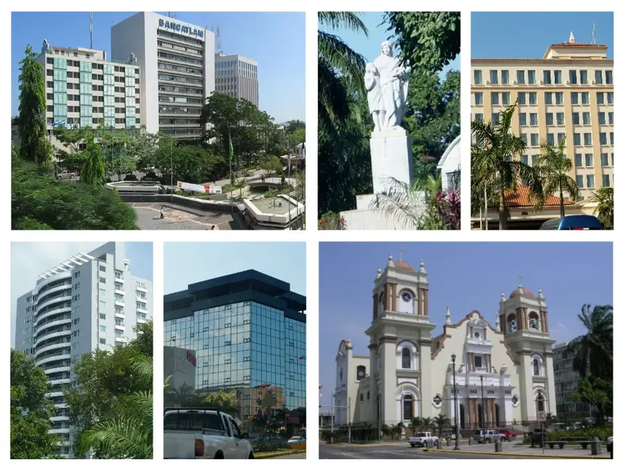
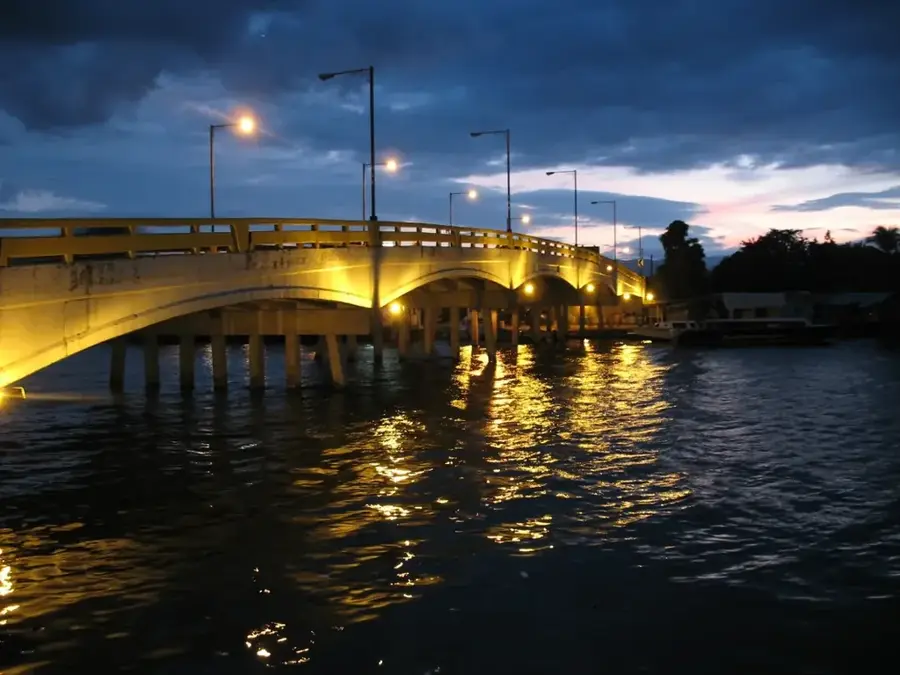
Explore nearby
Notable places around
Route planner — Car & Motorhome
Where do you start? We build the route here, with stops and country notes along the way.
© OpenStreetMap contributors · OpenRouteService
Sights nearby
Frequently asked questions
How difficult is hiking in the Sierra de Omoa?
When is the best time to visit?
Is there parking available near the trails?
Are there toilets or restaurants on the mountain?
What weather risks should be considered?
Sierra de Omoa: where is it located?
Sierra de Omoa: when is the best time to visit?
Sierra de Omoa: why is it worth visiting?

Nearby cities

History & landmarks


Nature
More places