Plizio Visual Lab
Merendón Mountains

Weather…
Water temperature…
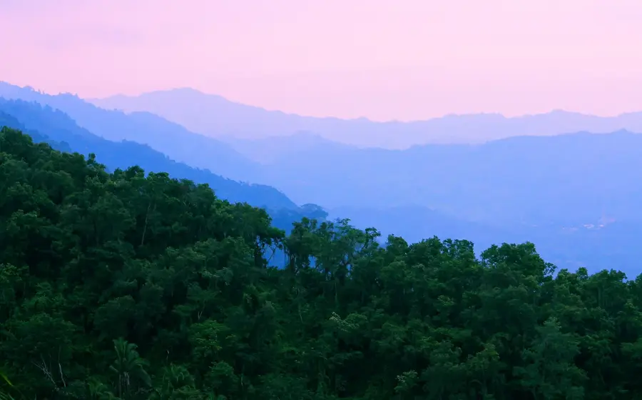
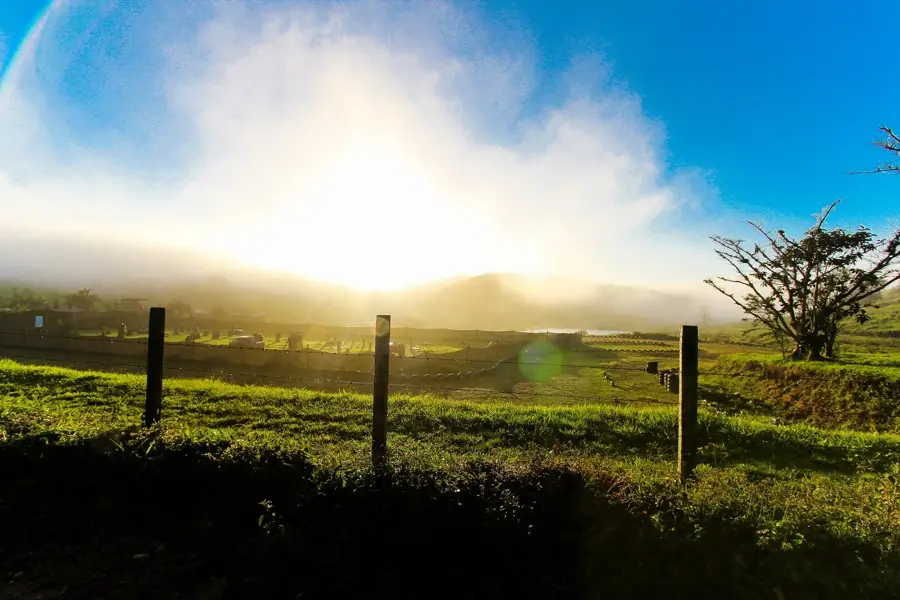
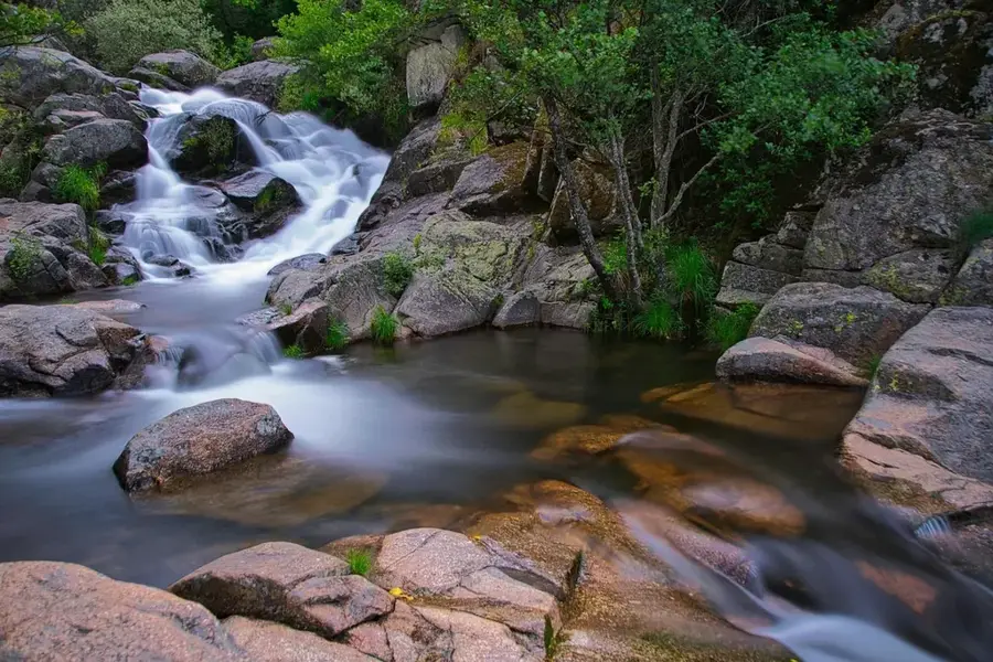
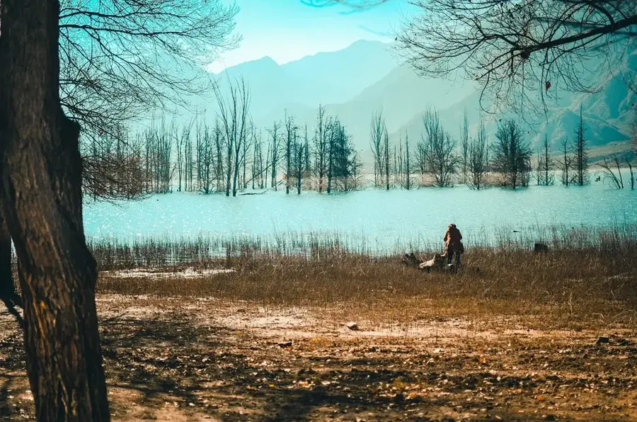
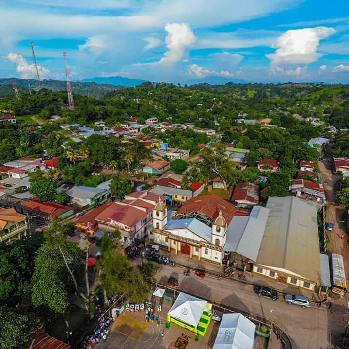
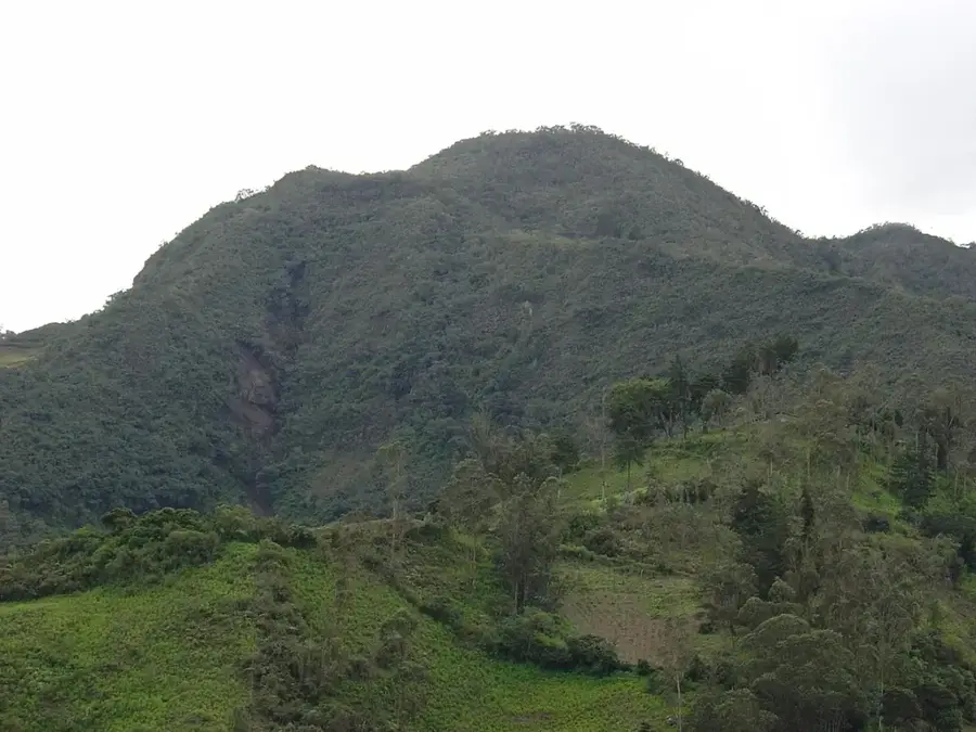
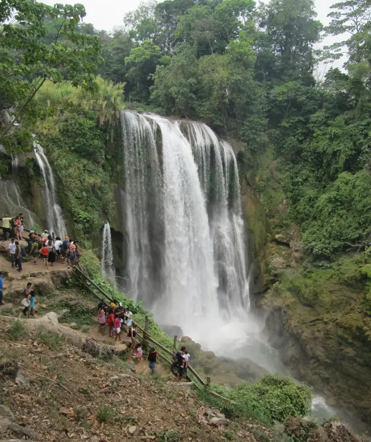
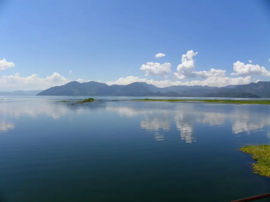
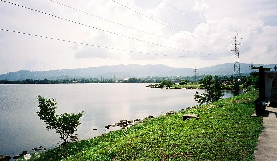
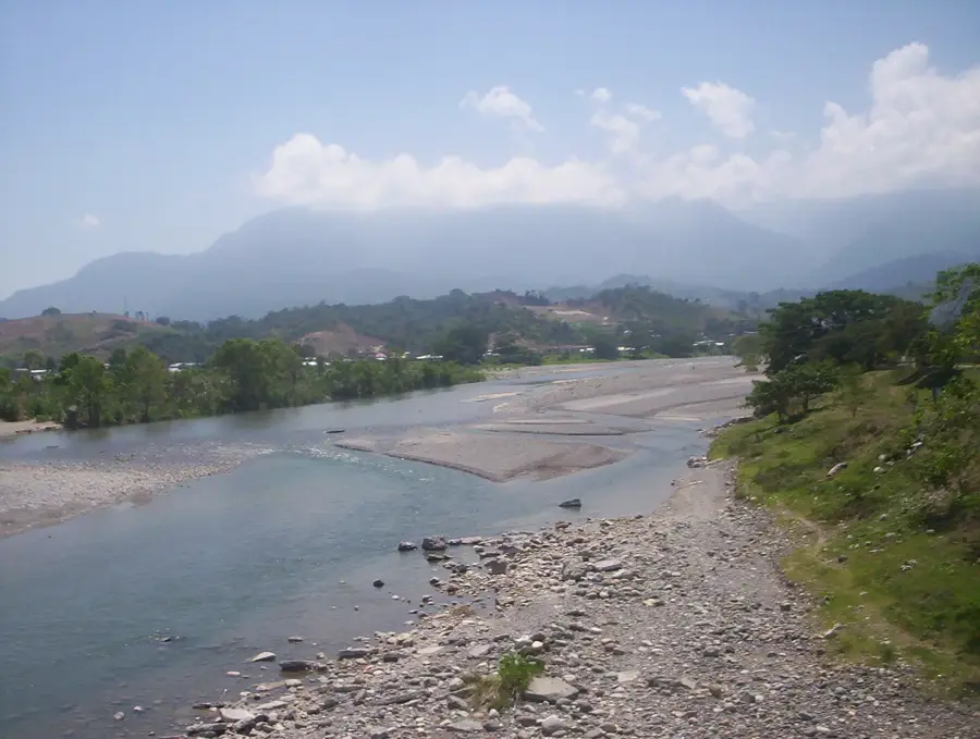
The Cordillera del Merendón is a major mountain range in northwestern Honduras, stretching along the border with Guatemala. This region is ecologically invaluable, serving as a biological corridor between the two nations. A key highlight is Cusuco National Park, famous for its pristine cloud forests and rich biodiversity. The mountains reach elevations of up to 2,400 meters and provide a habitat for all five big cat species native to Honduras, including the elusive jaguar and ocelot. The terrain is highly rugged and crossed by numerous rivers that supply water to the Sula Valley. The region is also an important area for coffee cultivation in its lower reaches. History: The mountains have marked the natural border since colonial times and were designated as protected areas in 1987 to preserve their unique ecosystems.
- Location: Honduras
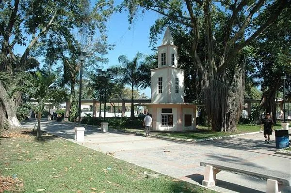
- Nearby: San Nicolás (4 km)
Best time to visit & climate
The most pleasant time to visit is Jan–Mar.
| Jan | Feb | Mar | Apr | May | Jun | Jul | Aug | Sep | Oct | Nov | Dec | |
|---|---|---|---|---|---|---|---|---|---|---|---|---|
| Avg °C | 22 | 23 | 24 | 26 | 27 | 26 | 25 | 25 | 25 | 24 | 23 | 22 |
| Rain mm | 105 | 78 | 61 | 51 | 127 | 214 | 188 | 195 | 227 | 205 | 174 | 113 |
📋 Practical info
Geography
Facts
- Maximum elevation is approximately 2,400 meters.
- Contains the biodiverse Cusuco National Park.
- Vital corridor for all five Honduran big cat species.
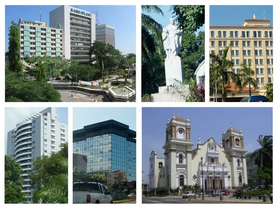
- Serves as the natural watershed for San Pedro Sula.
- Forms the natural border between Honduras and Guatemala.
- Renowned for its rare cloud forest ecosystems.
Explore nearby
Notable places around
Route planner — Car & Motorhome
Where do you start? We build the route here, with stops and country notes along the way.
© OpenStreetMap contributors · OpenRouteService
Sights nearby
Frequently asked questions
Where is the Merendón mountain range located?
What city lies at the foot of the mountains?
Are the mountains inhabited?
What ecological role does the mountain range play?
Are there national parks there?
Merendón Mountains: where is it located?
Merendón Mountains: when is the best time to visit?
Merendón Mountains: why is it worth visiting?

Nearby cities

History & landmarks


Nature
More places