Plizio Visual Lab
Yaxhá
Weather…
Water temperature…
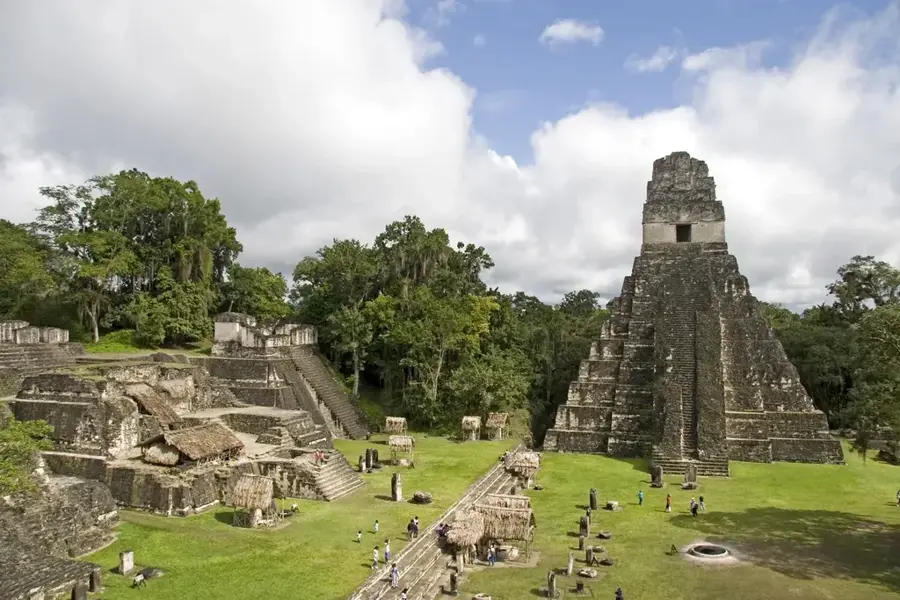
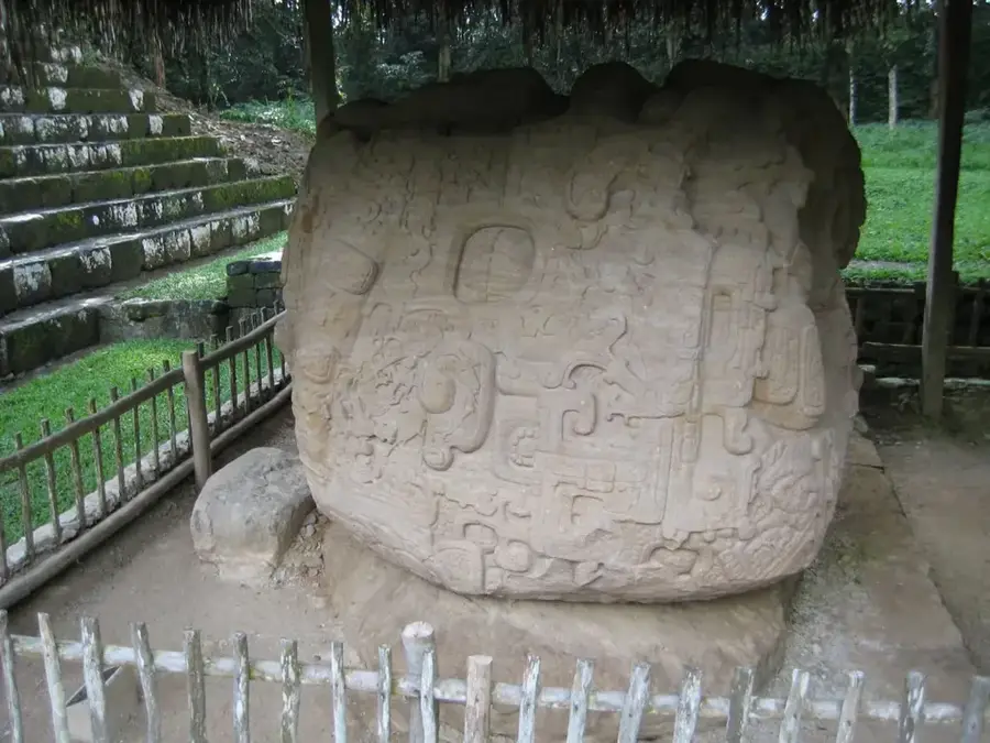
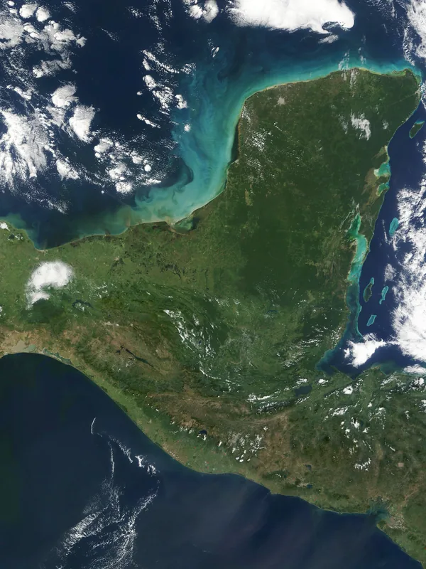
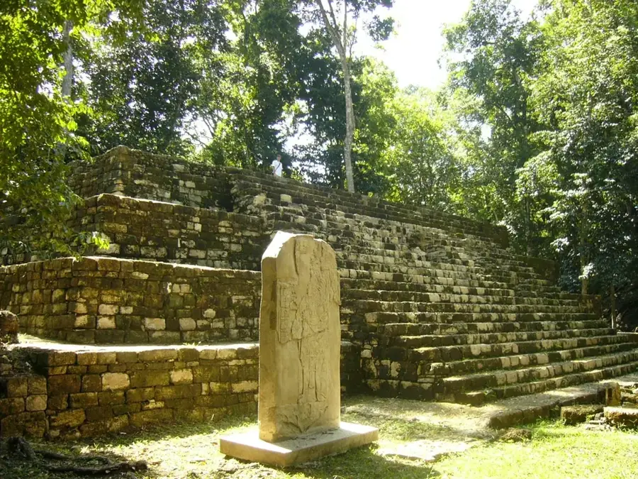
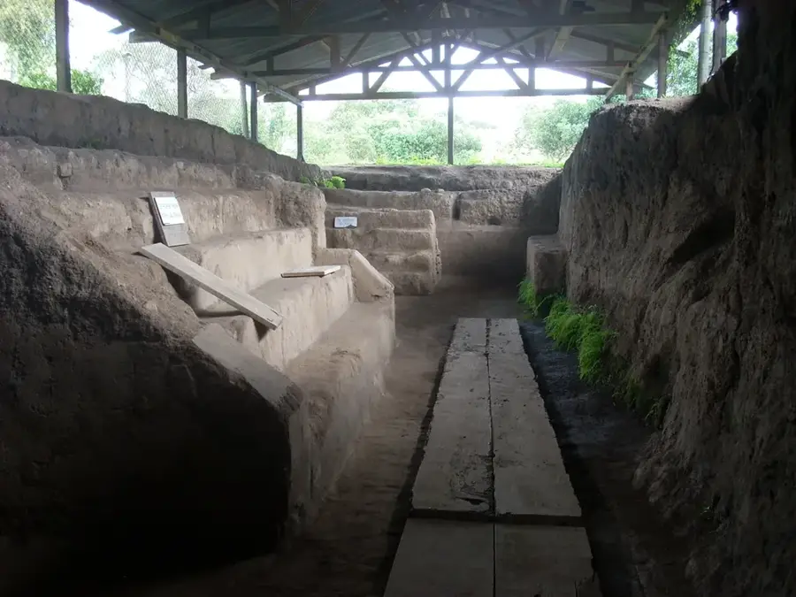
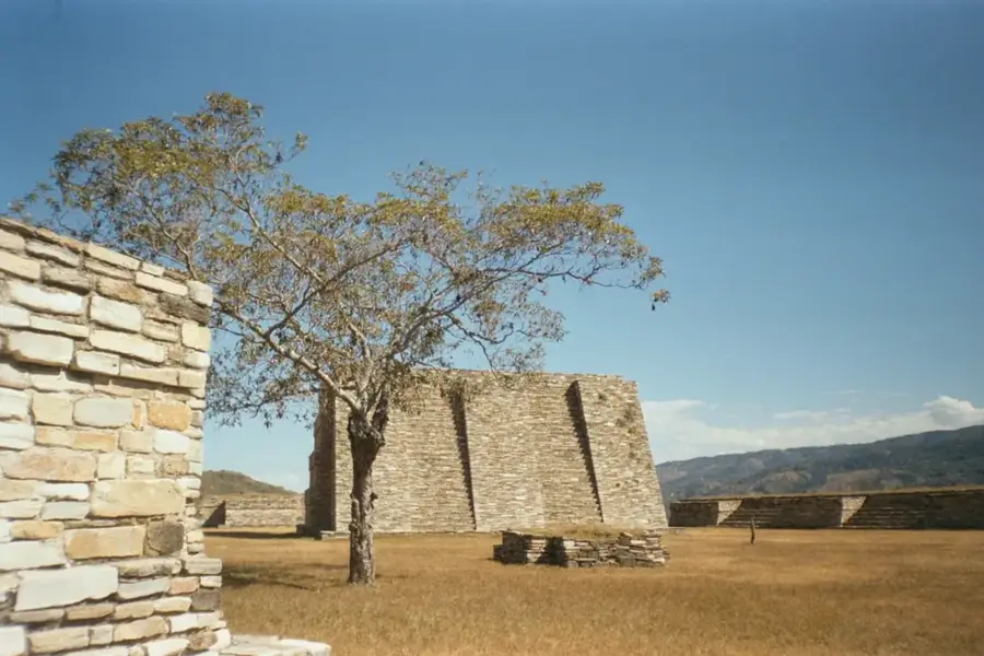
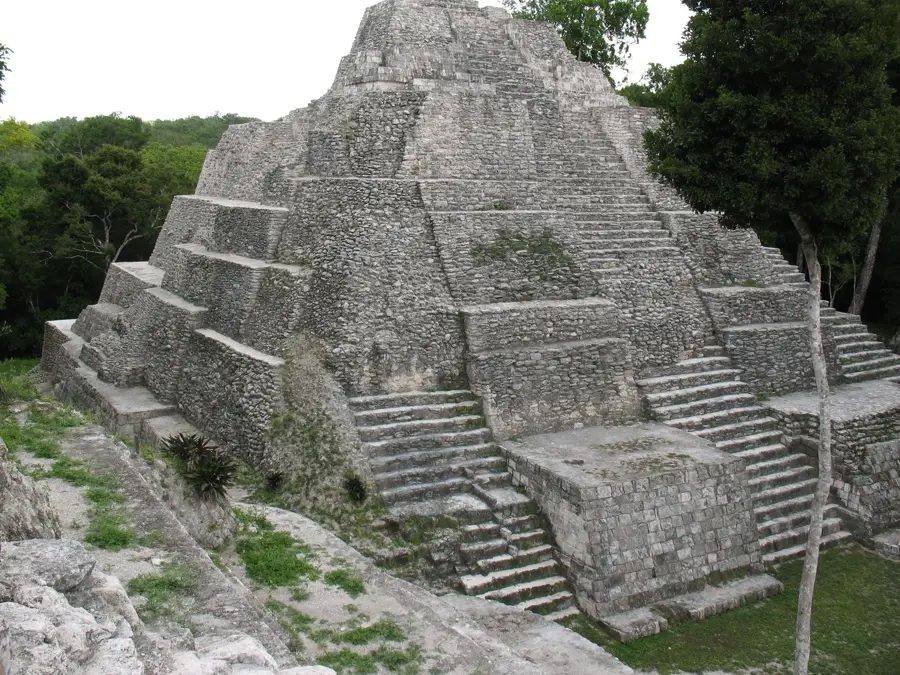
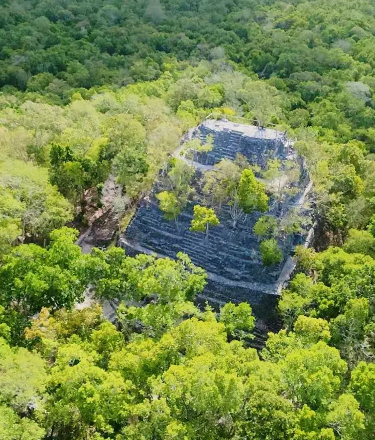
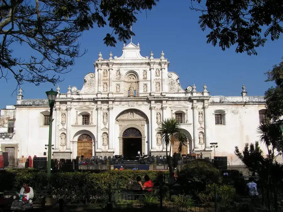
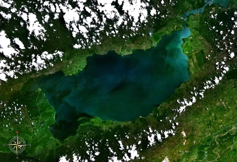
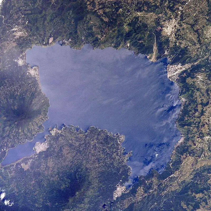
Yaxhá is a major Maya archaeological site located in the Petén Basin, situated on a ridge overlooking Lake Yaxhá. During the Classic period (c. 250-900 AD), the city was a vital ceremonial and administrative center, ranking as the third largest ruin in Guatemala after Tikal and El Mirador. The site encompasses over 500 structures, including nine temple pyramids, two ball courts, and numerous carved stelae. Notable features include the North Acropolis and Temple 216, which provides panoramic views of the lake and the vast surrounding jungle. Yaxhá was closely linked to the neighboring cities of Nakum and Naranjo, and today they together form the Yaxhá-Nakum-Naranjo National Park. The name translates to Green Water in Maya, reflecting the characteristic hue of the nearby lake. The city is distinguished by its well-preserved astronomical complexes and limestone causeways (sacbeob).
- Location: Guatemala
- Top sights: Yaxhá Lake · Yaxha
- Nearby: El Estor (4 km)
Best time to visit & climate
The most pleasant time to visit is Jan–Mar.
| Jan | Feb | Mar | Apr | May | Jun | Jul | Aug | Sep | Oct | Nov | Dec | |
|---|---|---|---|---|---|---|---|---|---|---|---|---|
| Avg °C | 21 | 23 | 25 | 28 | 28 | 26 | 25 | 26 | 25 | 24 | 22 | 22 |
| Rain mm | 114 | 66 | 53 | 38 | 125 | 226 | 161 | 181 | 208 | 246 | 176 | 136 |
📋 Practical info
Geography
Facts
- The site contains over 500 documented archaeological structures.
- Yaxhá is the third largest Maya ruin discovered in Guatemala.
- The name Yaxhá translates to Green Water in the Maya language.
- Temple 216 reaches a height of more than 30 meters.
- The ruins were rediscovered by Teobert Maler in 1904.
- There are nine temple pyramids within the ceremonial center.
Explore nearby
Notable places around
Route planner — Car & Motorhome
Where do you start? We build the route here, with stops and country notes along the way.
© OpenStreetMap contributors · OpenRouteService
Sights in the town Yaxhá (2)
Sights nearby
Frequently asked questions
What is the best time of day to visit?
Is it very crowded?
What is special about Yaxhá?
Is there parking?
Should I book a guide?
Yaxhá: where is it located?
Yaxhá: what is there to see?
Yaxhá: when is the best time to visit?
Yaxhá: why is it worth visiting?

Nearby cities

History & landmarks

Nature
More places