Plizio Visual Lab
Quiriguá
Weather…
Water temperature…
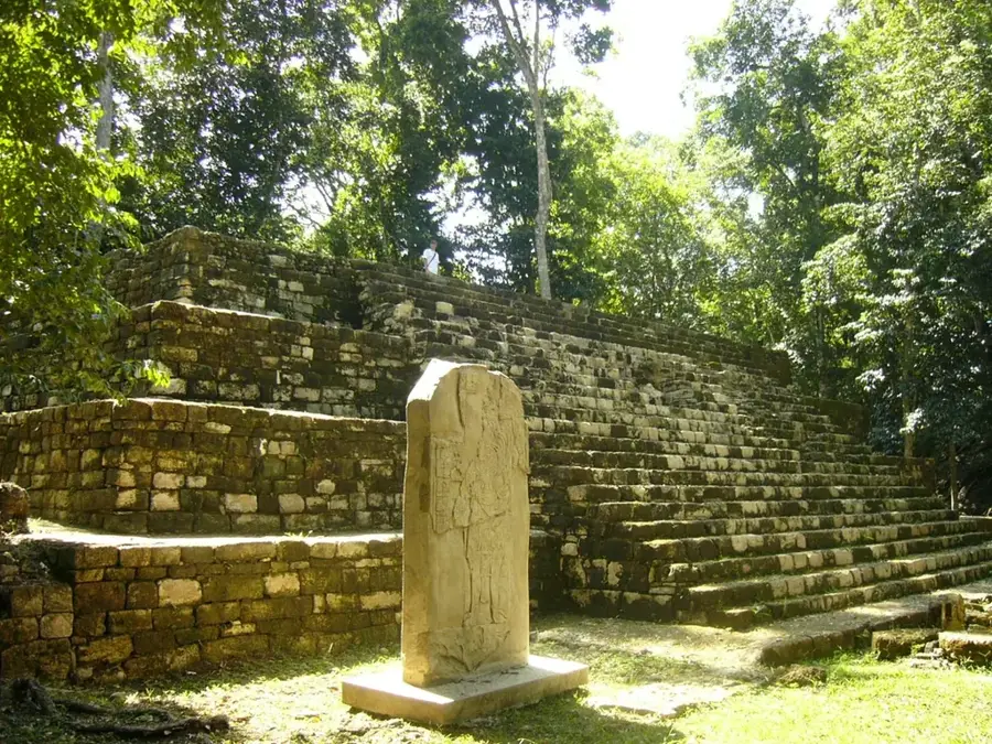
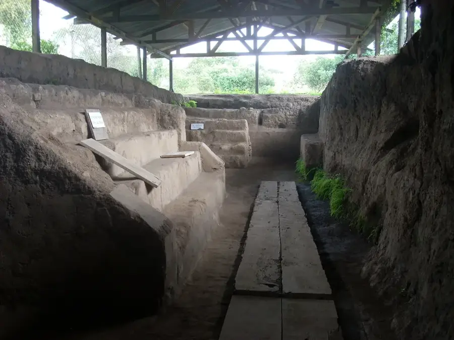
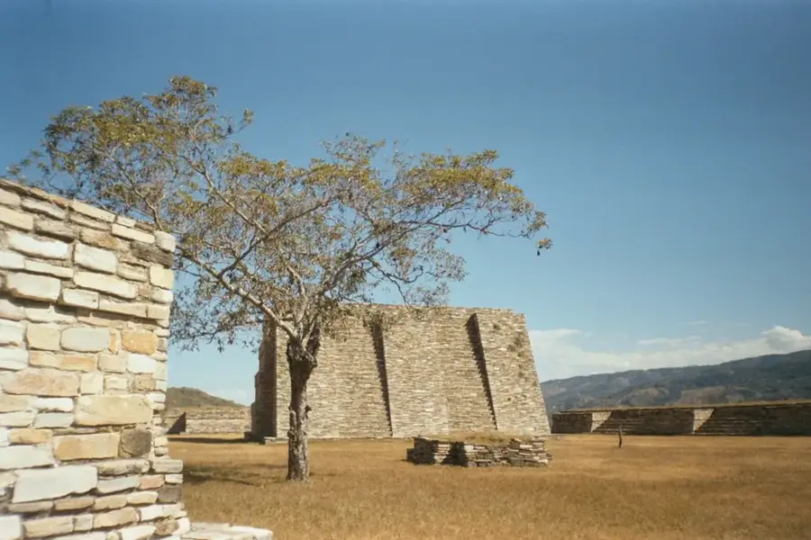
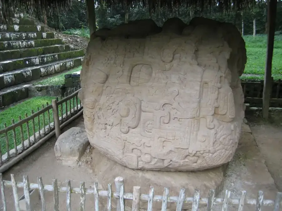
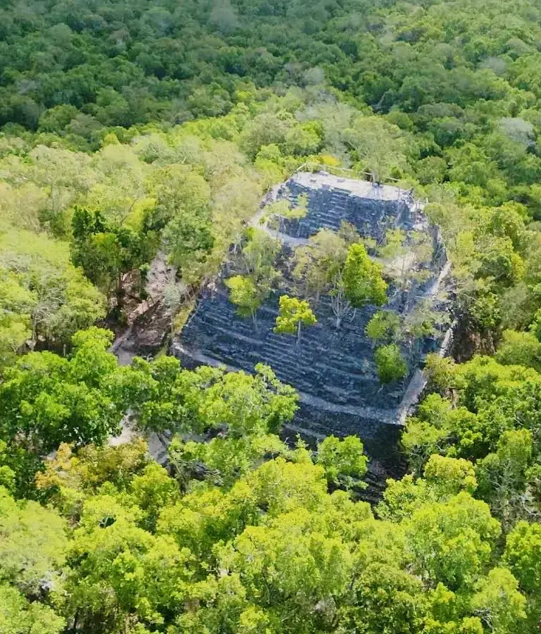
Quiriguá is an ancient Maya archaeological site in the Izabal department, designated a UNESCO World Heritage site in 1981. Located in the lower Motagua River valley, it held a strategic position controlling trade routes for jade and obsidian. For centuries, Quiriguá was a vassal of the powerful city of Copán, but it achieved independence in 738 AD when its ruler, K'ak' Tiliw Chan Yopaat, defeated and sacrificed the king of Copán. The site is world-renowned for its monumental sandstone sculptures, particularly its stelae, which are the tallest ever erected in the Mayan world. Stela E, standing 10.6 meters high, is the largest monolithic monument ever raised in pre-Columbian America. Additionally, the site features 'zoomorphs,' massive boulders intricately carved with hieroglyphs and mythological creatures. The artistic style of Quiriguá represents a peak in Mayan sculptural and epigraphic craftsmanship.
- Location: Guatemala
- Nearby: Melchor de Mencos (13 km)
Best time to visit & climate
The most pleasant time to visit is Jan–Mar.
| Jan | Feb | Mar | Apr | May | Jun | Jul | Aug | Sep | Oct | Nov | Dec | |
|---|---|---|---|---|---|---|---|---|---|---|---|---|
| Avg °C | 22 | 23 | 24 | 26 | 27 | 26 | 25 | 25 | 25 | 24 | 23 | 22 |
| Rain mm | 105 | 78 | 61 | 51 | 127 | 214 | 188 | 195 | 227 | 205 | 174 | 113 |
📋 Practical info
Geography
Facts
- Quiriguá was designated a UNESCO World Heritage site in 1981.
- Stela E is the tallest Mayan monolith, standing at 10.6 meters.
- The city gained independence from Copán in 738 AD.
- The monuments are primarily carved from local brown sandstone.
- Ruler K'ak' Tiliw Chan Yopaat governed for a total of 60 years.
- Zoomorphs are massive boulders carved into mythological animal shapes.
Explore nearby
Notable places around
Route planner — Car & Motorhome
Where do you start? We build the route here, with stops and country notes along the way.
© OpenStreetMap contributors · OpenRouteService
Sights nearby
Frequently asked questions
What is special about Quiriguá?
How long does a visit take?
Is the place well signposted?
Can you take good photos there?
Are there guided tours?
Quiriguá: where is it located?
Quiriguá: when is the best time to visit?
Quiriguá: why is it worth visiting?

Nearby cities

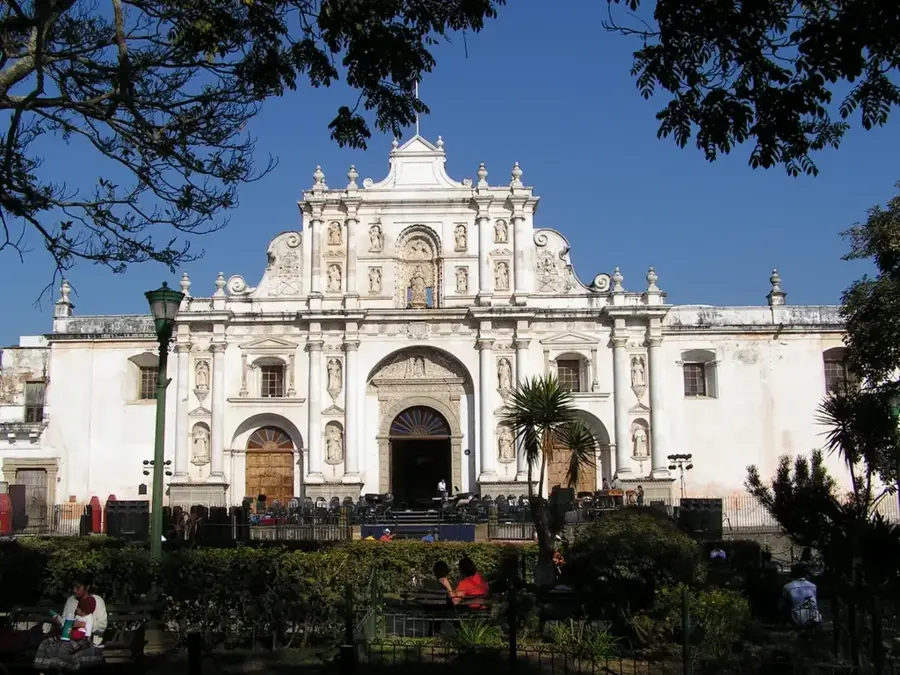
History & landmarks
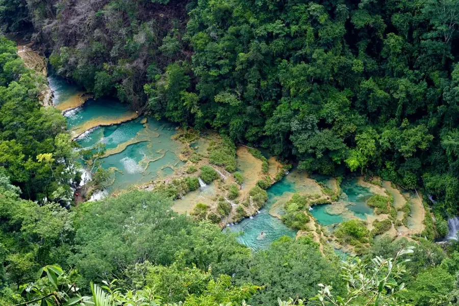

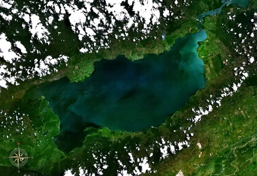
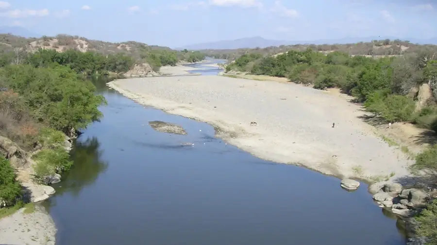
Nature
More places