Plizio Visual Lab
El Estor
ℹ️Practical info — El Estor
▾
🌤 Weather — 5 days
📍 Nearby
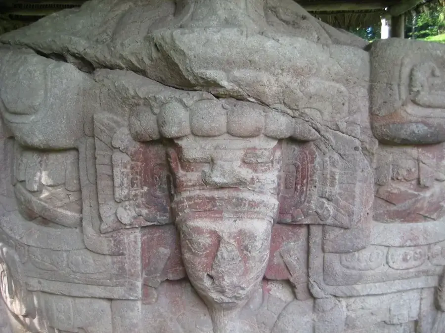
Sights nearby
💡 Tips
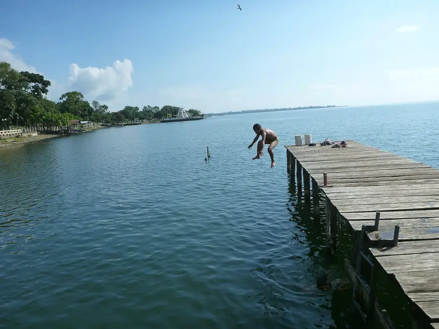
- Hire a small boat (lancha) from the pier to explore Lake Izabal and look for manatees.
- Bring strong insect repellent; the lake area is very prone to mosquitoes.
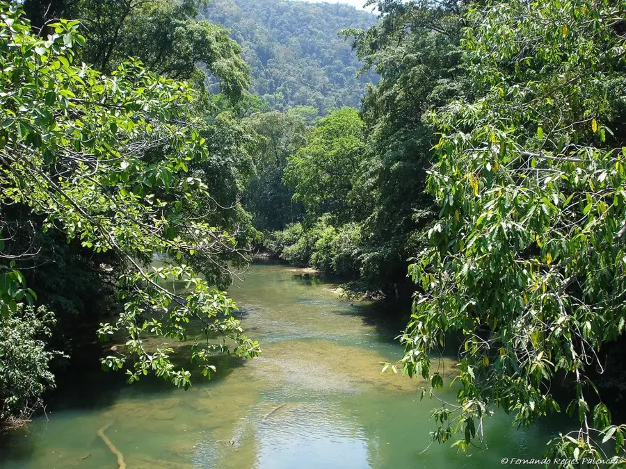
- This is the gateway to the Boquerón canyon; start your trip early to avoid afternoon rains.
- The Finca El Paraíso hot waterfall is nearby; take a local microbus to get there.
🍽 Food
Whole fried fish from the lake, commonly served at shoreline restaurants.
A rich seafood soup made with coconut milk and plantains, showing Caribbean influence.
Sold straight from the nut by street vendors near the lake.
🛍 Shopping · 🧘 Quiet spots
Authentic nets and hammocks available from local vendors right by the water.
Pick up fresh pineapples and bananas at the lively local market.
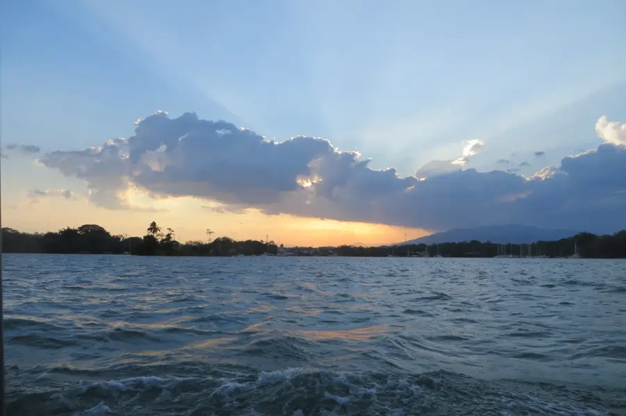
The well-suited stretch for a quiet and scenic sunset walk.
Take a short trip here and paddle in a wooden canoe for absolute natural silence.
Water temperature…
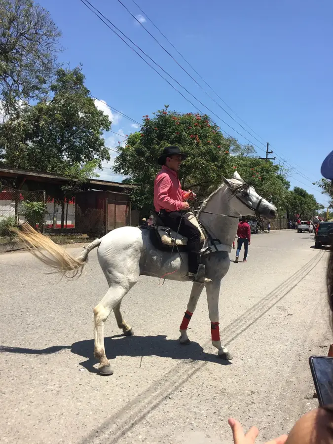
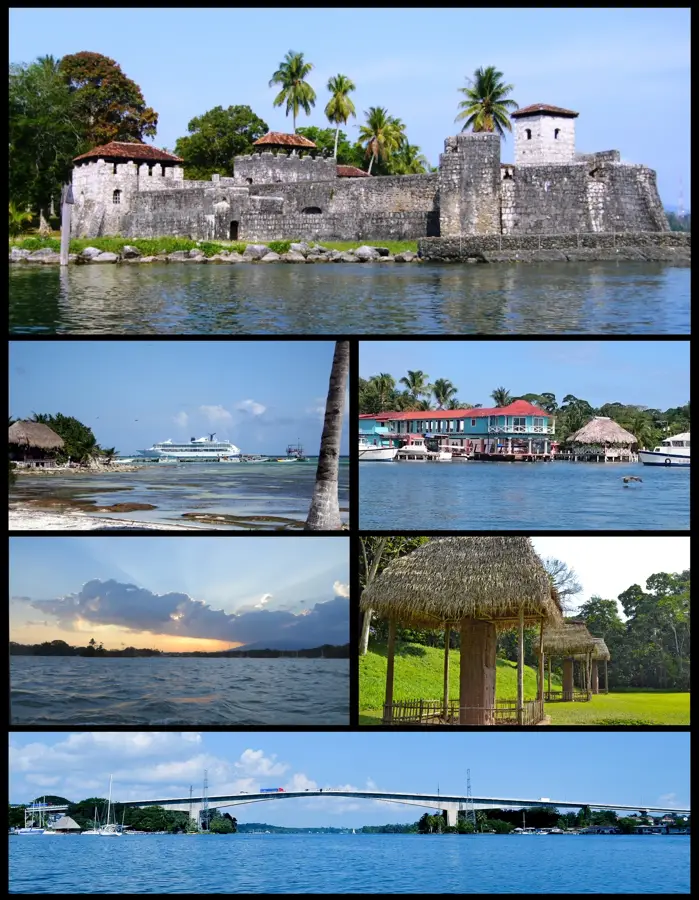
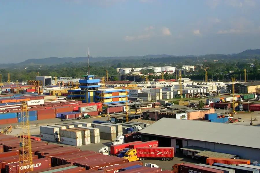
El Estor is a significant municipality in the Izabal Department, located on the northwestern shore of Lake Izabal, Guatemala's largest lake. The town's name is derived from the English term 'The Store,' reflecting its history as an important shipping trading post during the 19th century. Geographically, El Estor marks the transition between the lake basin and the foothills of the Sierra de las Minas. The region's economy is heavily influenced by mining, particularly nickel extraction at the nearby Fénix mine. Ecologically, the town is of great importance as it borders the Bocas del Polochic Wildlife Refuge, a vital habitat for manatees and numerous bird species. The population is predominantly composed of Q'eqchi' Mayan people, who engage in fishing and African palm cultivation alongside mining activities. Despite industrial influences, the town retains its tropical characteristics and serves as a gateway to the pristine Polochic Delta.
- Location: Guatemala
- Nearby: Poptún (7 km)
- Population: ~20.489 (2023)
Best time to visit & climate
The most pleasant time to visit is Jan, Feb, Dec.
| Jan | Feb | Mar | Apr | May | Jun | Jul | Aug | Sep | Oct | Nov | Dec | |
|---|---|---|---|---|---|---|---|---|---|---|---|---|
| Avg °C | 22 | 23 | 24 | 27 | 27 | 26 | 25 | 25 | 25 | 24 | 23 | 22 |
| Rain mm | 99 | 78 | 61 | 50 | 125 | 199 | 182 | 189 | 220 | 195 | 152 | 103 |
Geography
Facts
- El Estor is located on the shores of the 589-square-kilometer Lake Izabal.
- The name originates from a British trading post known as 'The Store.'
- The Fénix mine near El Estor is one of Central America's largest nickel mines.
- The Bocas del Polochic refuge is home to approximately 250 bird species.
- Over 90 percent of the inhabitants belong to the Q'eqchi' ethnic group.
- The town was officially elevated to a municipality on October 29, 1886.
Explore nearby
Notable places around
Route planner — Car & Motorhome
Where do you start? We build the route here, with stops and country notes along the way.
© OpenStreetMap contributors · OpenRouteService
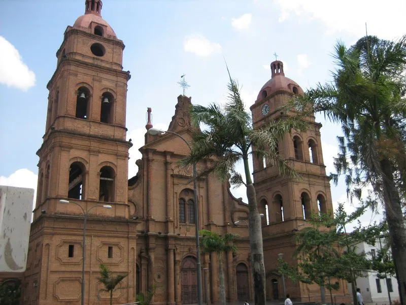
Sights in the town El Estor (1)
Frequently asked questions
What is the highlight in El Estor?
Can you swim in Lake Izabal?
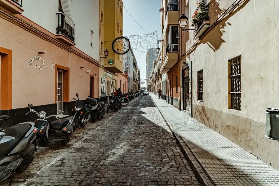
What is the atmosphere in the town like?
What's the best way to reach El Estor?
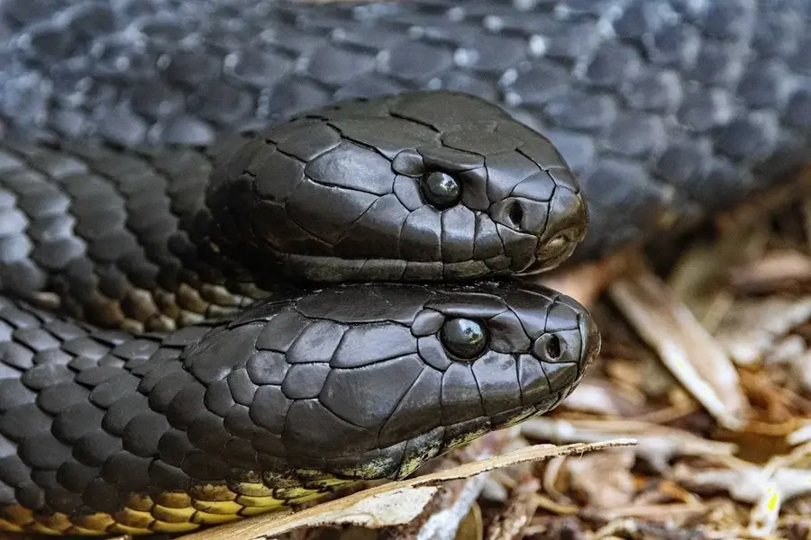
Can you see wildlife?
El Estor: where is it located?
El Estor: when is the best time to visit?
El Estor: why is it worth visiting?

Nearby cities

Nature
More places