Plizio Visual Lab
Sierra de Santa Cruz
Weather…
Water temperature…
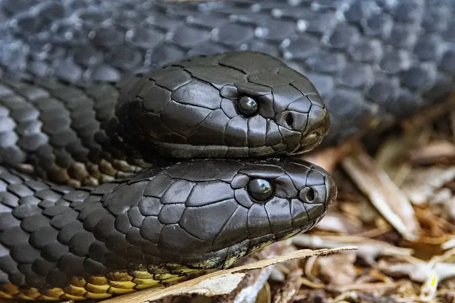
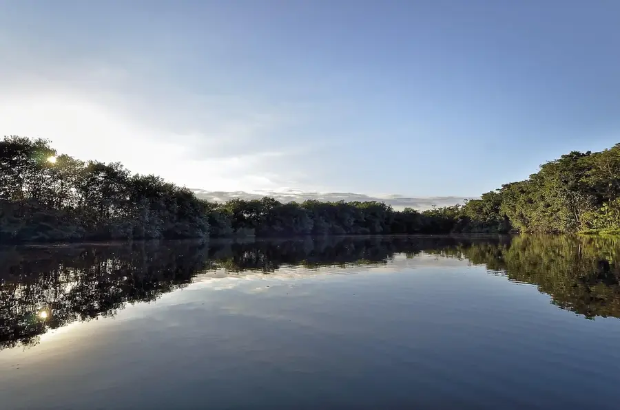
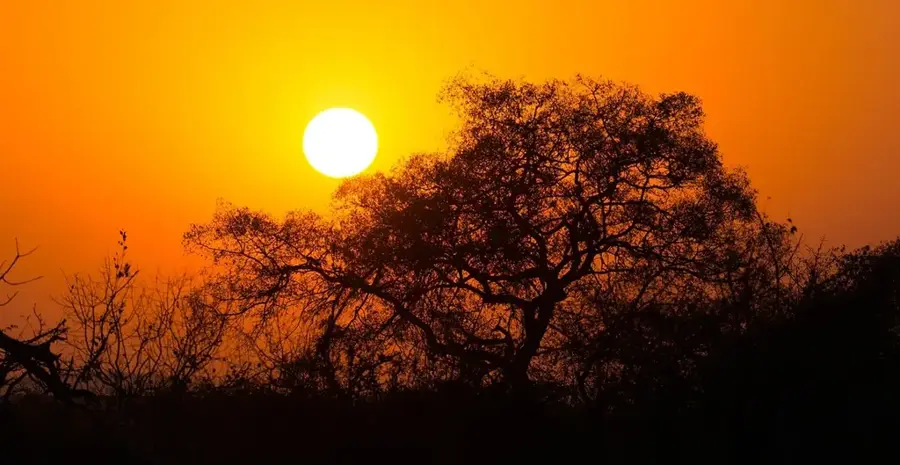
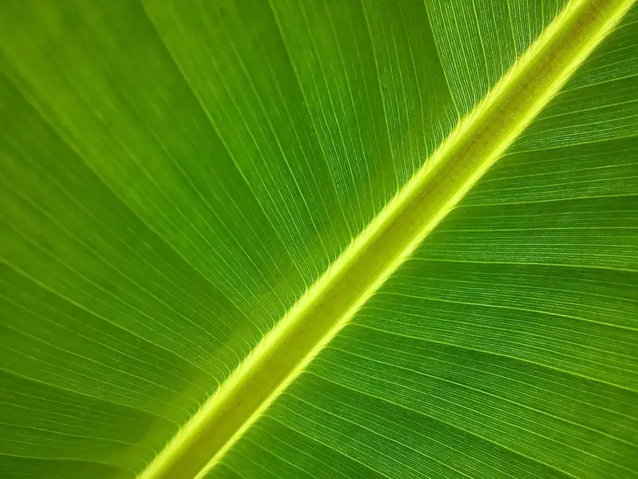
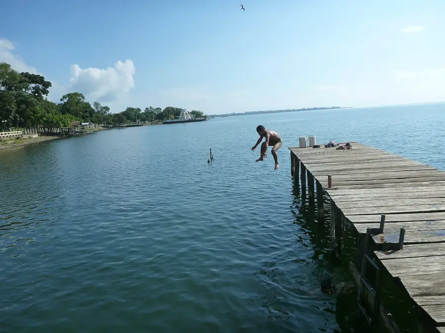
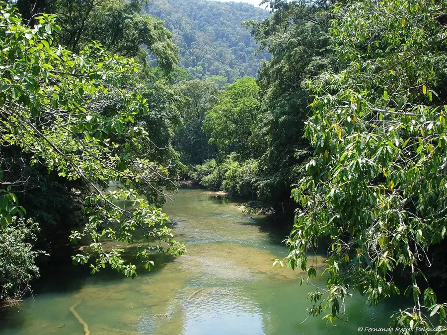
The Sierra de Santa Cruz is an isolated mountain range in eastern Guatemala, stretching north of Lake Izabal. With a maximum elevation of about 1,100 meters, this range forms an important ecological barrier and a center of biodiversity. Geologically, the region is known for its significant nickel deposits, which led to extensive mining activities in the past. The Sierra is covered by dense tropical rainforest that serves as a critical habitat for endangered species such as howler monkeys and the jaguar. The area is part of the Caribbean drainage system, with numerous streams and rivers flowing directly from the mountains into Lake Izabal. Due to high precipitation rates and lush vegetation, the Sierra de Santa Cruz plays a fundamental role in regulating the local climate and providing water to surrounding communities.
- Location: Guatemala
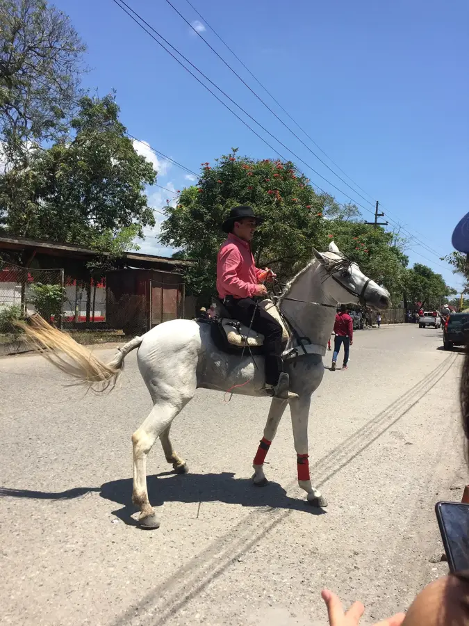
- Nearby: El Estor (6 km)
Best time to visit & climate
The most pleasant time to visit is Jan, Feb, Dec.
| Jan | Feb | Mar | Apr | May | Jun | Jul | Aug | Sep | Oct | Nov | Dec | |
|---|---|---|---|---|---|---|---|---|---|---|---|---|
| Avg °C | 22 | 23 | 24 | 27 | 27 | 26 | 25 | 25 | 25 | 24 | 23 | 22 |
| Rain mm | 99 | 78 | 61 | 50 | 125 | 199 | 182 | 189 | 220 | 195 | 152 | 103 |
📋 Practical info
Geography
Facts
- Maximum elevation of approx. 1,100 meters
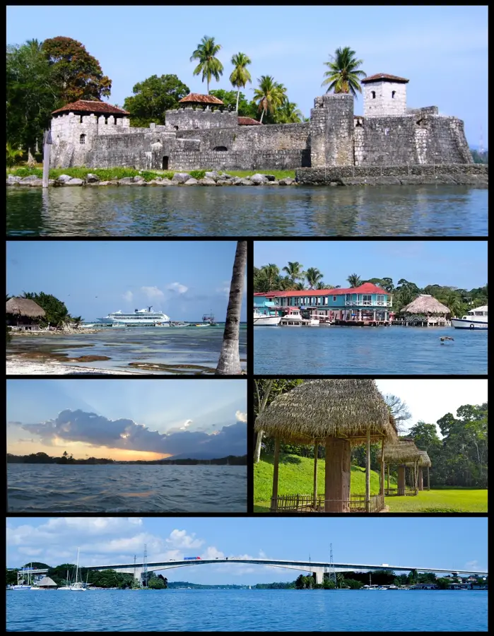
- Located north of Lake Izabal
- Significant nickel deposits in the region
- Karst geology with high water permeability
- Critical ecological corridor for the jaguar
- Drains directly into the Caribbean basin
Explore nearby
Notable places around
Route planner — Car & Motorhome
Where do you start? We build the route here, with stops and country notes along the way.
© OpenStreetMap contributors · OpenRouteService
Sights nearby
Frequently asked questions
What is Sierra de Santa Cruz?
Is the area protected?
What animals live there?
Are there mines there?
What is the terrain like?
Sierra de Santa Cruz: where is it located?
Sierra de Santa Cruz: when is the best time to visit?
Sierra de Santa Cruz: why is it worth visiting?

Nearby cities

Nature
More places