Plizio Visual Lab
Gualán
ℹ️Practical info — Gualán
▾
🌤 Weather — 5 days
📍 Nearby
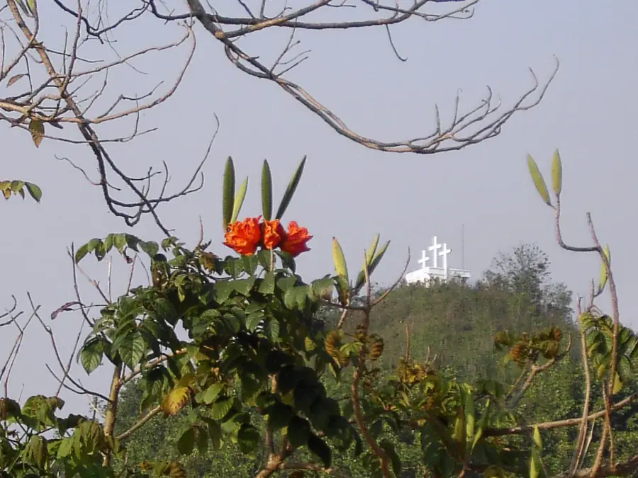
Sights nearby
💡 Tips
- The region is known for extreme heat; plan activities for the early morning and stay hydrated.
- This is an agricultural hub with little tourist infrastructure; don't expect English to be widely spoken.
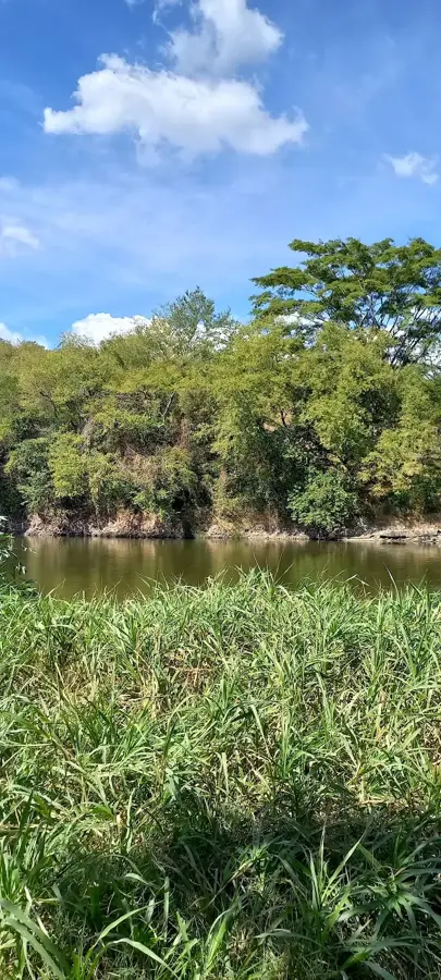
- Bring mosquito repellent, especially if you are visiting near the banks of the Motagua River.
- Public transport (chicken buses) connects to Zacapa, but schedules are very informal.
- Midday heat means many small shops will close; adapt to the local siesta rhythm.
🍽 Food
A sweet cheese pound cake famous throughout the department. Pick one up at local bakeries.
Cassava with fried pork belly, often found at simple roadside food stands.
Cool, fresh tropical fruit drinks sold at stalls around the central plaza.
🛍 Shopping · 🧘 Quiet spots
The central market is the best place to buy the freshest tropical fruits grown in the region.
The Zacapa region is known for leatherwork; look for sturdy belts in local shops.
In the early morning, this area has a quiet place for walking and bird watching.
The shaded central park is the best place to rest during the hottest afternoon hours.
Water temperature…
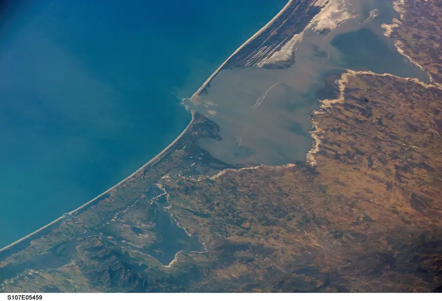
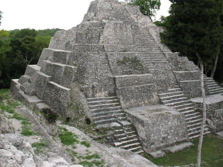
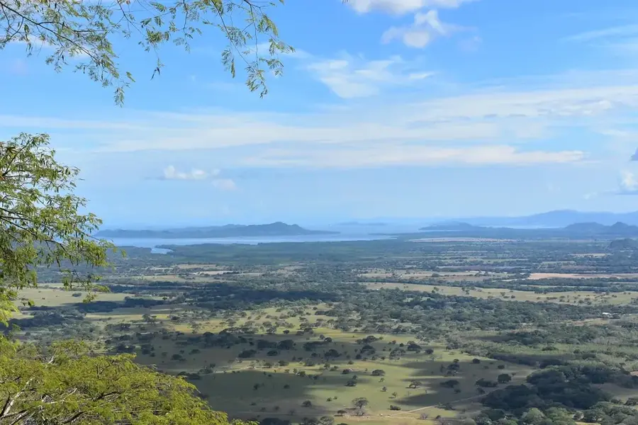
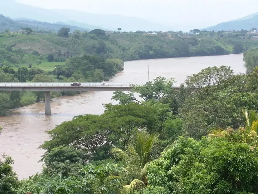
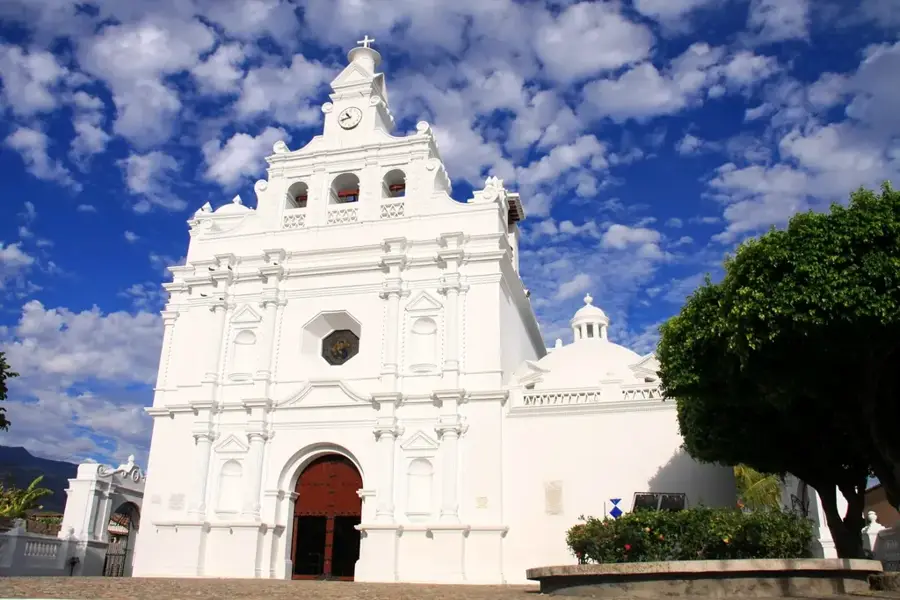
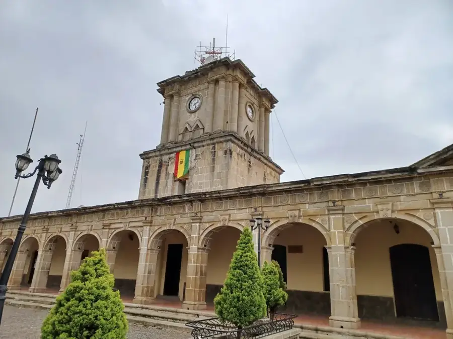
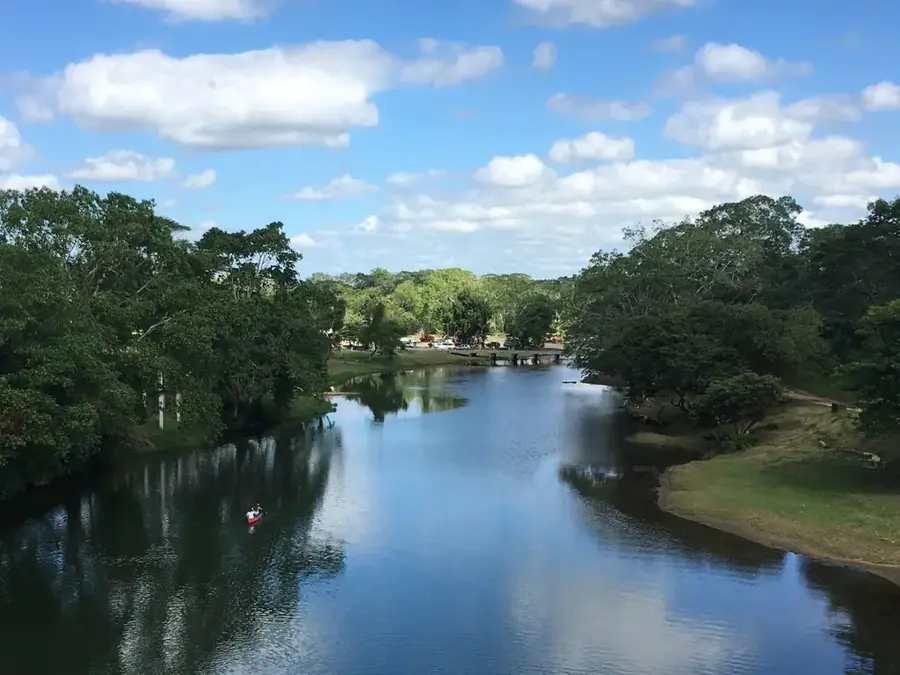
Gualán is a dynamic city located in the Zacapa Department of eastern Guatemala, situated on the banks of the mighty Motagua River. Its history stretches back to the colonial era, first mentioned in Spanish documents in 1549 as an important indigenous village. The geographic location in the semi-arid Motagua Valley shapes the climate and economy of the region, with Gualán traditionally serving as a gateway between the highlands and the Atlantic coast. During the late 19th and early 20th centuries, the town experienced an economic boom with the opening of the 'Ferrocarril del Norte,' which made Gualán a crucial stop for coffee and banana exports. Today, the city is a significant commercial center for agricultural products such as tobacco, cattle, and maize, aided by its proximity to the vital CA-9 highway. Culturally, Gualán is known for its pride in local traditions, especially the festivities in honor of Saint Michael the Archangel in September. The town preserves a part of its historical flair through some colonial buildings and its close ties to the country's railway history.
- Location: Guatemala
- Nearby: Poptún (6 km)
- Population: ~19.354 (2021)
Best time to visit & climate
The most pleasant time to visit is Feb, Mar, Dec.
| Jan | Feb | Mar | Apr | May | Jun | Jul | Aug | Sep | Oct | Nov | Dec | |
|---|---|---|---|---|---|---|---|---|---|---|---|---|
| Avg °C | 20 | 21 | 23 | 25 | 25 | 24 | 23 | 23 | 23 | 22 | 21 | 20 |
| Rain mm | 58 | 45 | 38 | 43 | 133 | 200 | 171 | 193 | 223 | 169 | 101 | 63 |
Geography
Facts
- Gualán is located at an elevation of approximately 130 meters above sea level.
- The first documentary mention of the town dates back to the year 1549.
- The name Gualán likely derives from the term 'Gualat' (River of Birds).
- The city was a central hub for the Guatemalan railway line.
- The town's main festival is celebrated annually on September 29.
- The municipality covers an area of approximately 696 square kilometers.
Explore nearby
Notable places around
Route planner — Car & Motorhome
Where do you start? We build the route here, with stops and country notes along the way.
© OpenStreetMap contributors · OpenRouteService
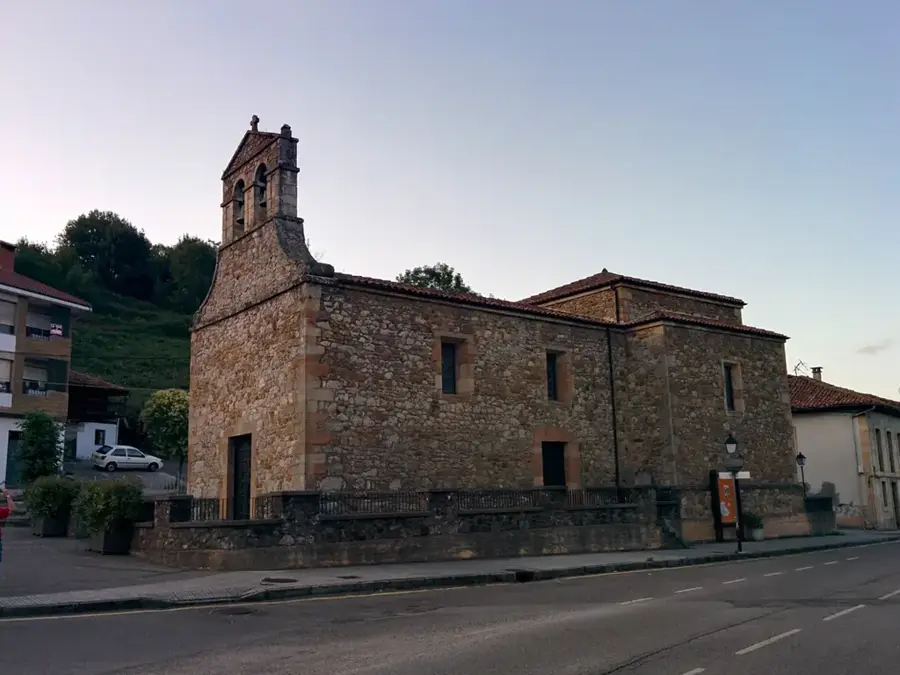
Sights in the town Gualán (1)
Frequently asked questions
Where is Gualán located?
What is the weather like in Gualán?
What role does the Motagua River play?
What is the Feria in Gualán?
Are there natural attractions there?
Gualán: where is it located?
Gualán: when is the best time to visit?
Gualán: why is it worth visiting?

Nearby cities


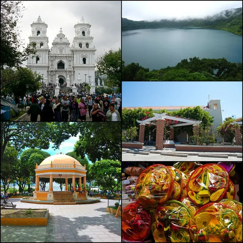

History & landmarks

Nature
More places