Plizio Visual Lab
Chimaltenango

ℹ️Practical info — Chimaltenango
▾
🌤 Weather — 5 days
📍 Nearby
Sights nearby
💡 Tips
- The city is a bottleneck on the Pan-American Highway; if passing through, allow plenty of time for traffic jams.
- The climate is mild due to the altitude, but the sun can be intense during the day.
- For domestic travel, the central bus station is a major hub, though it can be somewhat chaotic.
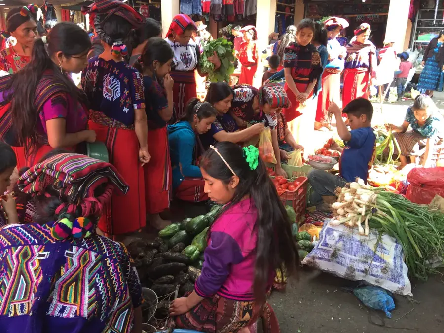
- Always keep a close eye on your valuables in the crowded market streets.
🍽 Food
This traditional Guatemalan stew is rich and spicy; find it in most urban comedores (small restaurants).
Try the locally made sausages, often grilled with fresh tortillas in the central market.
A great on-the-go snack sold on street corners near the bus stops.
🛍 Shopping · 🧘 Quiet spots
A massive, bustling market selling everything from fresh vegetables to household goods. Good for cheap shopping.
On the outer edges of the city, you can find small workshops selling decorative and utility pottery.
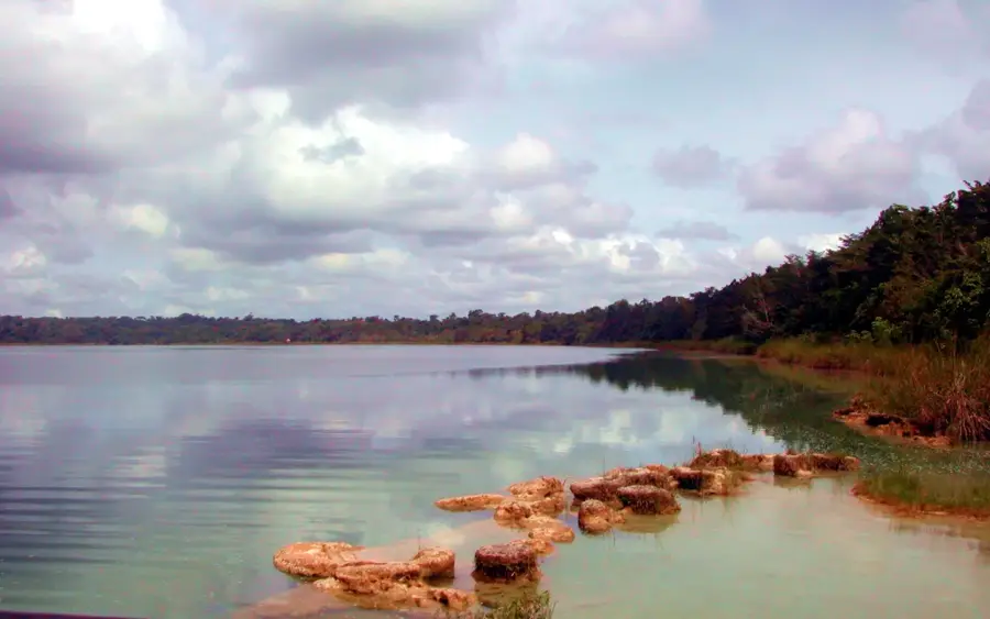
A wooded park with a small lake just south of the city, popular with locals for weekend getaways.
A surprisingly quiet retreat right in the heart of the chaotic city center.
Water temperature…
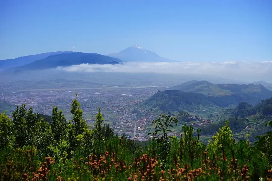
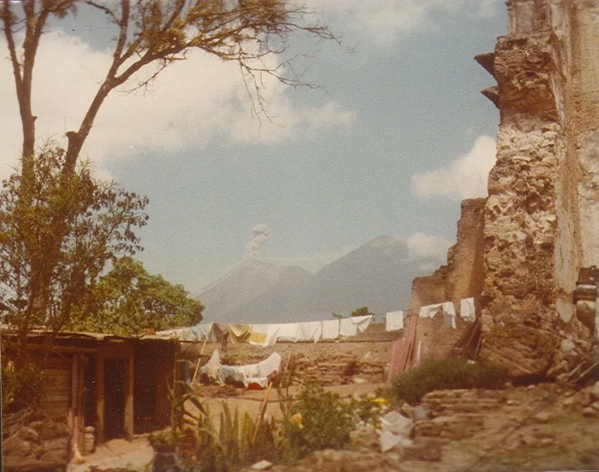
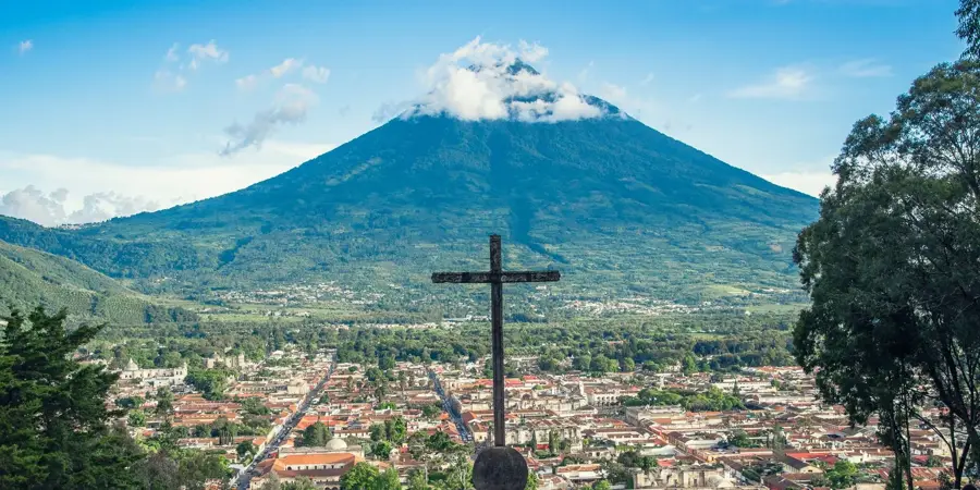
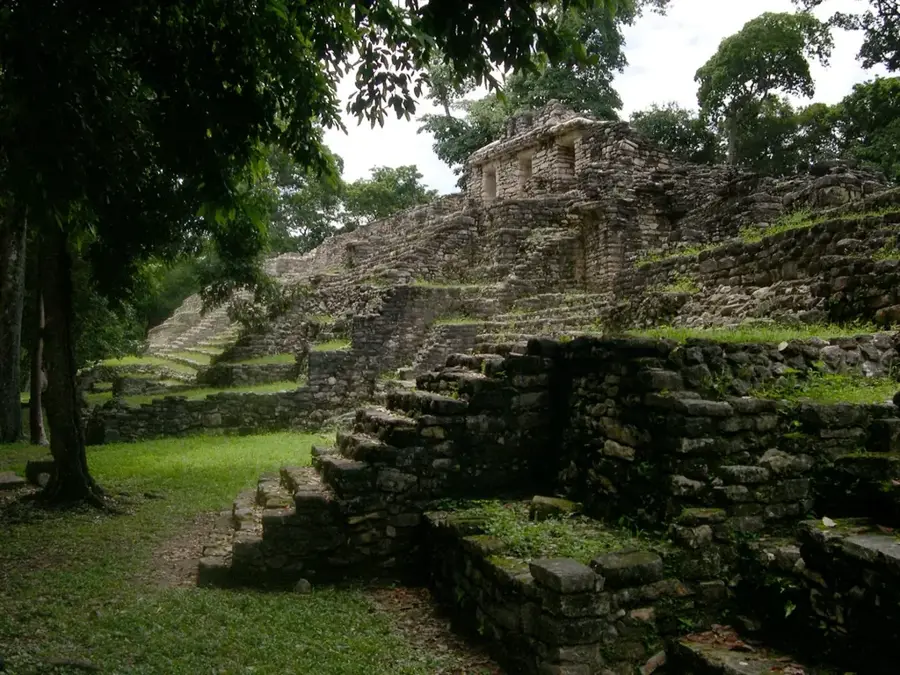
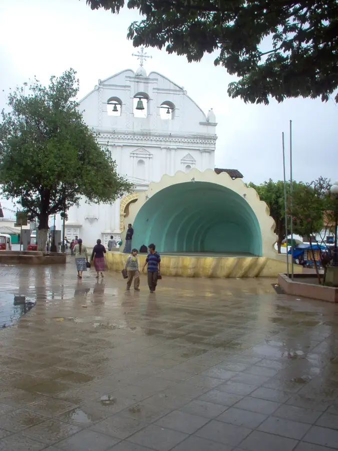
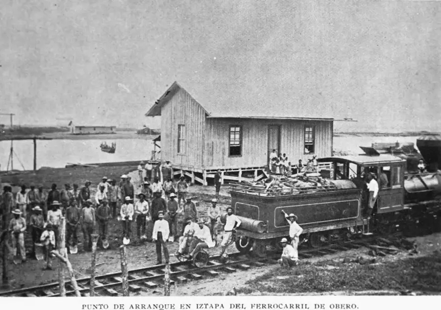
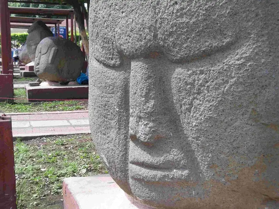
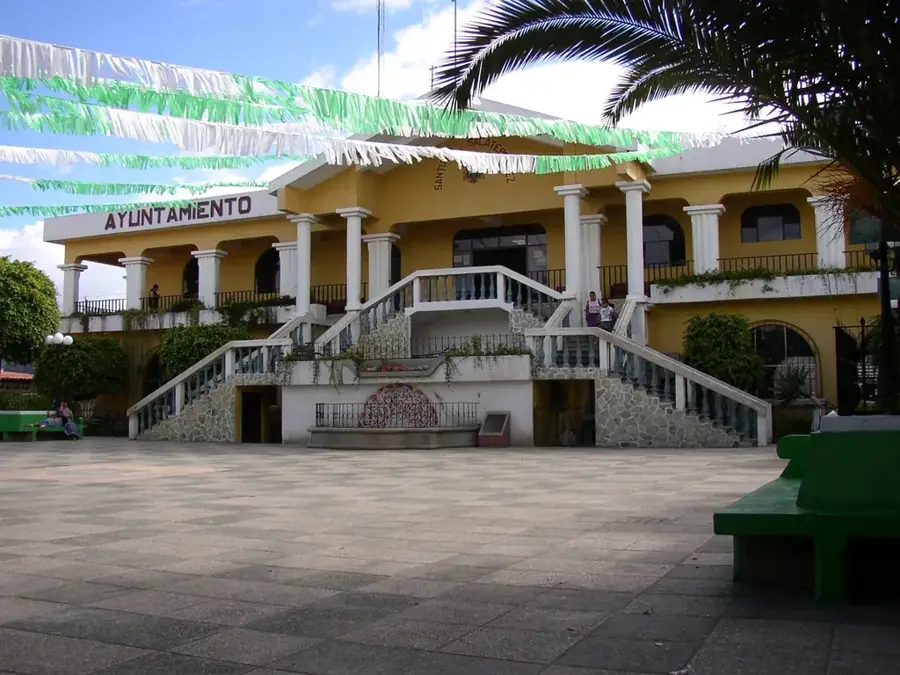
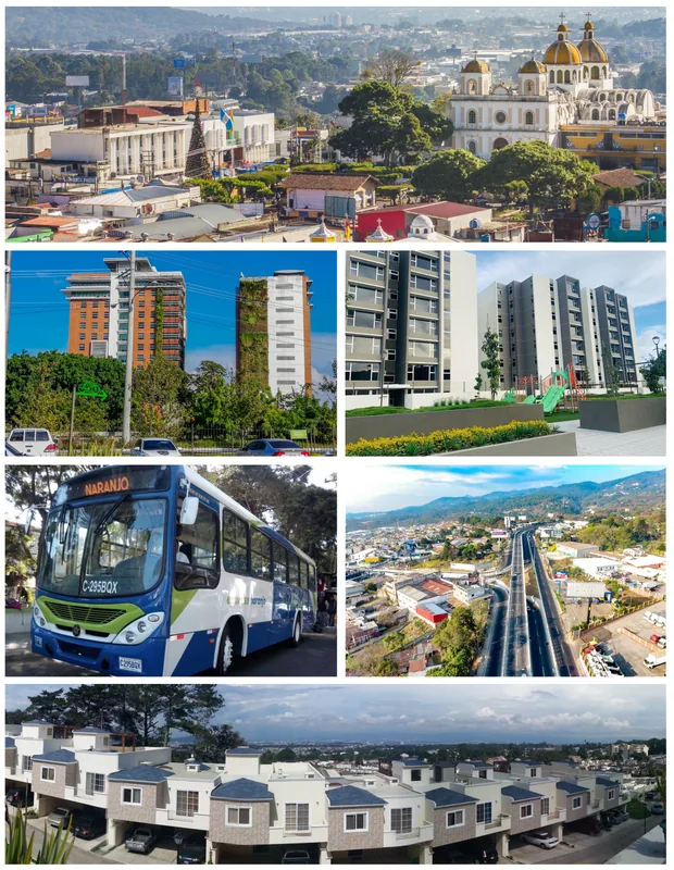
Chimaltenango, known as the 'City of Shields,' is the bustling capital of the Chimaltenango Department in the central highlands of Guatemala. Situated at an elevation of roughly 1,800 meters (5,900 feet) above sea level, the city occupies a strategic position on the Pan-American Highway, serving as a vital link between Guatemala City and the western regions. The area's history is deeply intertwined with the Kaqchikel Maya, who established their capital at nearby Iximché before the Spanish conquest. Chimaltenango's name itself is of Nahuatl origin, meaning 'Wall of Shields,' reflecting its historical role as a defensive frontier. Geographically, the city sits on a fertile high plateau surrounded by majestic volcanoes, including Fuego and Acatenango, which contribute to the region's rich volcanic soil. This fertility has made Chimaltenango an agricultural powerhouse, particularly famous for exporting vegetables like snow peas and broccoli to international markets. The city is also a significant center for traditional Mayan textiles, with local artisans producing intricate weavings that are highly sought after. Urban life centers around the central park and the colonial-era church, although much of the city's infrastructure was rebuilt following the catastrophic 1976 earthquake. Today, Chimaltenango is a lively commercial hub where modern retail outlets coexist with traditional open-air markets. The city's culture is a rich tapestry of indigenous traditions and Catholic influences, most visibly expressed during the annual patron saint festival in honor of Saint Anne. Education and regional governance are centralized here, making it a pivotal social node for the surrounding rural municipalities. Gastronomy in Chimaltenango features traditional stews known as 'recaudos' and unique local sweets that reflect the area's diverse heritage. For travelers, the city features a gateway to the highland landscapes, combining historical depth with the dynamic energy of a modern Guatemalan trade center.
- Location: Guatemala
- Top sights: El Tejar, Chimaltenango · Los Aposentos
- Nearby: Escuintla (4 km)
- Population: ~96.985 (2025)
Best time to visit & climate
The most pleasant time to visit is Jan, Feb, Dec.
| Jan | Feb | Mar | Apr | May | Jun | Jul | Aug | Sep | Oct | Nov | Dec | |
|---|---|---|---|---|---|---|---|---|---|---|---|---|
| Avg °C | 21 | 22 | 23 | 24 | 24 | 23 | 23 | 23 | 22 | 22 | 21 | 21 |
| Rain mm | 4 | 6 | 18 | 64 | 231 | 317 | 234 | 292 | 346 | 302 | 61 | 8 |
Geography
Facts
- Chimaltenango is located on a Continental Divide between the Atlantic and Pacific basins.
- The city was a major stop on the colonial 'Royal Road' to Mexico.
- More than 50% of the population in the area identifies as Kaqchikel Maya.
- Chimaltenango's market is one of the largest and most varied in the central highlands.
- The city is often referred to as 'La Ciudad de los Escudos' in official documents.
- The nearby ruins of Iximché were designated a National Monument in 1964.
- Vegetable production in Chimaltenango utilizes advanced greenhouse technologies.
- The city's elevation ensures cool nights and warm, sunny days throughout the year.
Explore nearby
Notable places around
Route planner — Car & Motorhome
Where do you start? We build the route here, with stops and country notes along the way.
© OpenStreetMap contributors · OpenRouteService
Sights in the town Chimaltenango (2)
Frequently asked questions
What is Chimaltenango known for?
Are there sights to see in the city center?
What places can be visited nearby?
How is the transport connection?
What should you eat there?
Chimaltenango: where is it located?
Chimaltenango: what is there to see?
Chimaltenango: when is the best time to visit?
Chimaltenango: why is it worth visiting?

Nearby cities


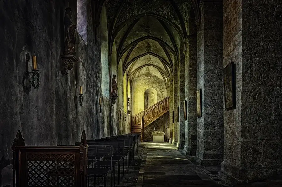
History & landmarks


Nature
More places